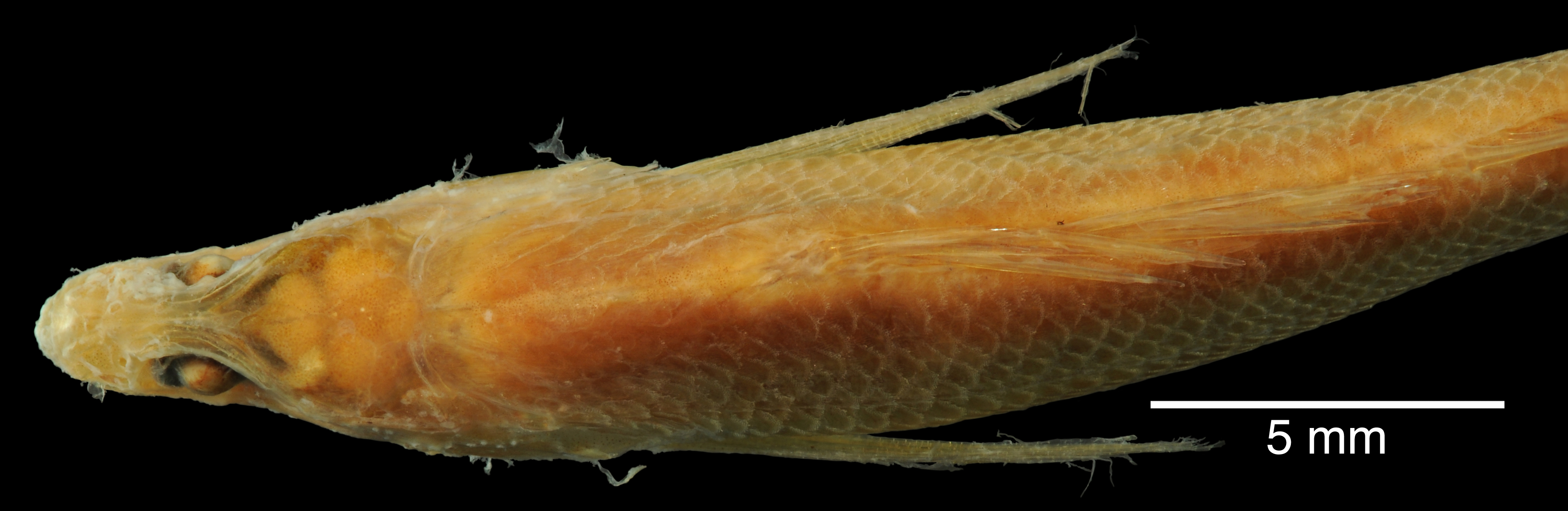
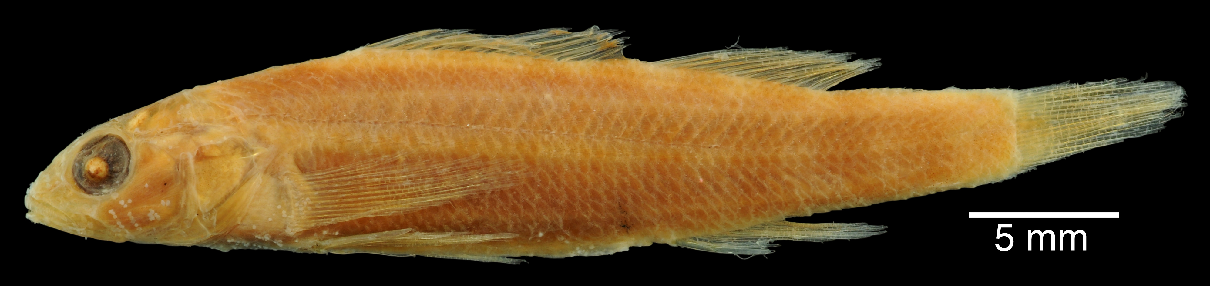
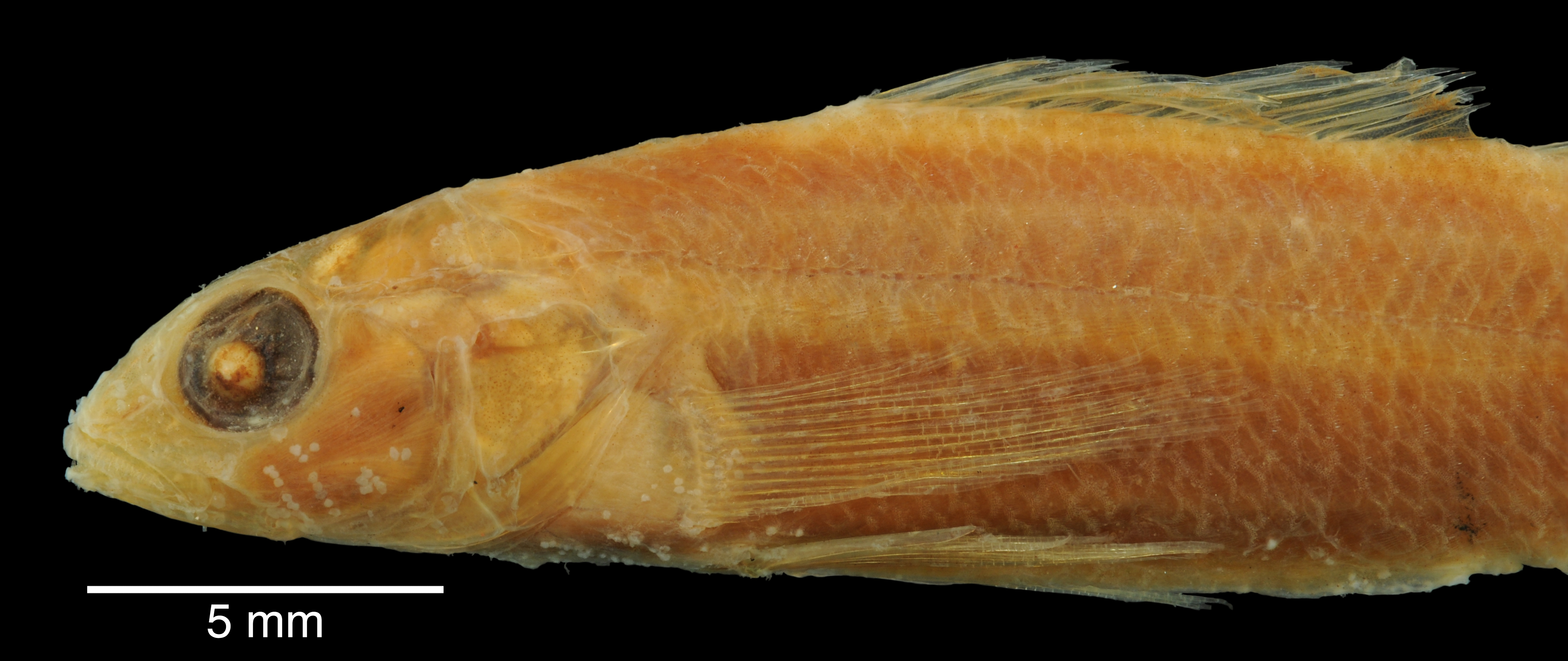
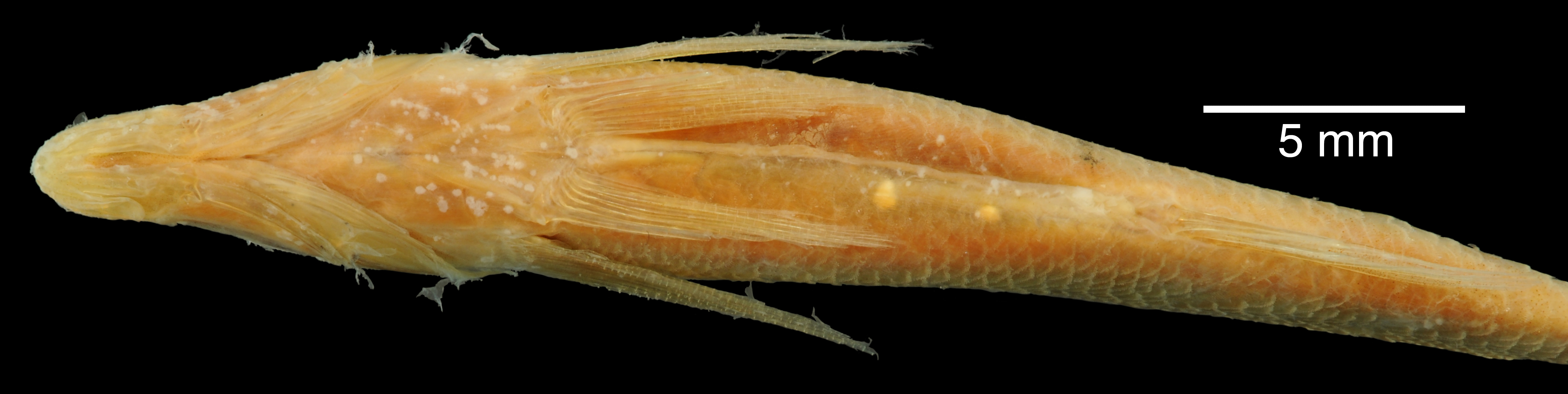
ANSP_20447
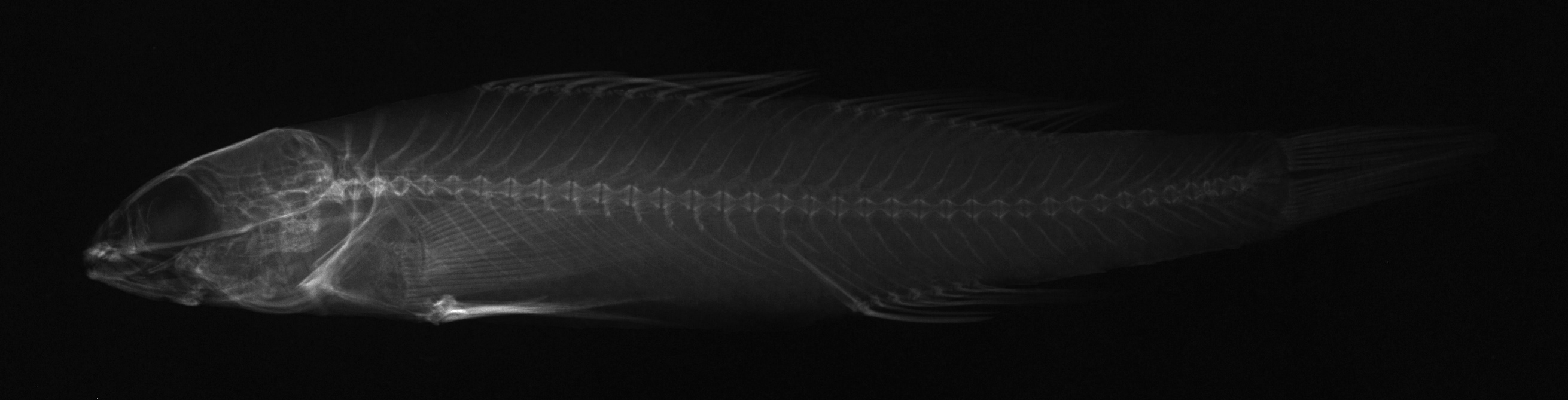
Suspect, pending examinationPhotos
Map
Location
32.75996° N, 97.33827° W
(± 3500
m)
Taxonomy
GenusBoleosoma
Speciesphlox
Identification
DeterminerE.D.Cope, 1880:30
Collection Event
CollectorE.D.Cope
Collected Datenone
Geography
CountryUnited States
StateTexas
CountyUnknown
LocalityTrinity River near Fort Worth.
Record Source
Source
Academy of Natural Sciences
(type: specimens)
Institution
Academy of Natural Sciences
(type: museum)
Curator
John G. Lundberg (but transitioning out)
Record Added
May 13, 2010
Record Last Modified
July 27, 2022
Data Processing Track
Track 2
From Data Set Received
04/2009 to 10/2010
Identification
Suspect Notes
None
Count
No data
Current Determination
Determiner
Fishes of Texas staff
Determination Date
Unknown
Determination Type
Unspecified
Identification Comments
None
Identification Confidence
Unknown
Collecting Event
Collected
Jan. 1, 1877
– Dec. 31, 1893
Collector(s)
Collecting Event ID
7929
Collecting Event Notes This map represents Cope's Texas trips (see map: https://bioone.org/journals/transactions-of-the-kansas-academy-of-science/volume-119/issue-3-4/062.119.0409/The-Last-Time--Edward-Drinker-Copes-Last-Trip-to/10.1660/062.119.0409.full?tab=ArticleLinkFigureTable). He was in TX on at least 1892/93 and 1877 and 1874. His Rio Grande and NM collections are from 1874 (based o this map and records from the RG with 1874 date).
Field Notes
There are no field notes available.
Locality
Region
Blackland Prairies
Jurisdiction
Tarrant, Texas
Name
Fort Worth
Hydrography
Texas-Gulf Region
Trinity
Upper Trinity
Lower West Fork Trinity
Big Fossil Creek-West Fork Trinity River
Headwaters Sycamore Creek
Captive
no
Locality Photos
No locality photos available.
HUC 12
120301020502
Georeferencing Remarks
1918 map of Fort Worth (http://legacy.lib.utexas.edu/maps/historical/fort_worth18.jpg) shows a much smaller city than what it is currently. Used this to define the geographic extent of Fort Worth. Point placed on confluecne of Clear and West Forks of Trinity and extent runs acrross town to east.
Georeferencing Annotation
—
Has not been Georeferenced because
—
flag (suspect/examine)
suspect: TRUE
flag (suspect/examine)
note: suspect record needs to be examinedExamination: Pending
georeference
Error: 3500
Remarks: 1918 map of Fort Worth (http://legacy.lib.utexas.edu/maps/historical/fort_worth18.jpg) shows a much smaller city than what it is currently. Used this to define the geographic extent of Fort Worth. Point placed on confluecne of Clear and West Forks of Trinity and extent runs acrross town to east.
Locality: Fort WorthCoordinates: -97.33827, 32.759959Georeferencer: Adam Cohen1918 map of Fort Worth (http://legacy.lib.utexas.edu/maps/historical/fort_worth18.jpg) shows a much smaller city than what it is currently. Used this to define the geographic extent of Fort Worth. Point placed on confluecne of Clear and West Forks of Trinity and extent runs acrross town to east.
flag (suspect/examine)
suspect: yesexamination: pending
date
note: This map represents Cope's Texas trips (see map: https://bioone.org/journals/transactions-of-the-kansas-academy-of-science/volume-119/issue-3-4/062.119.0409/The-Last-Time--Edward-Drinker-Copes-Last-Trip-to/10.1660/062.119.0409.full?tab=ArticleLinkFigureTable). He was in TX on at least 1892/93 and 1877 and 1874. His Rio Grande and NM collections are from 1874 (based o this map and records from the RG with 1874 date).
date_range: 1/1/1877-12/31/1893
flag (suspect/examine) note
This lot in need of examination, but not yet examined. Work in progress.
staff comment
not available or not found
date
date_range: 5/1/1877-11/30/1877
collectors
collectors: Cope, Edward Drinker
collectors
collectors: E.D. Cope
staff comment
ID Status: This lot in need of examination, but we have not been able to find this specimen at the donor institution. Specimen is likely either on loan, mis-shelved, permanently lost or in rare cases destroyed. Work in progress.
Georef Remark: This must refer to either the West Fork Trinity River or Clear Fork Trinity River. Treated as shown. Extent runs halfway to Dallas geographic center.
flag (suspect/examine)
suspect flag — We wish to examine this specimen
date
date_range: 5/1/1877-11/31/1877
staff comment
not available or not found
georeference
Error: 25762.3787518895
Remarks: This must refer to either the West Fork Trinity River or Clear Fork Trinity River. Treated as shown. Extent runs halfway to Dallas geographic center.
Locality: Near Fort WorthCoordinates: 32.725334295;-97.320534753Georeferencer: AECGeographic note: Inland USA TexasThis must refer to either the West Fork Trinity River or Clear Fork Trinity River. Treated as shown. Extent runs halfway to Dallas geographic center.
Comments On ANSP_20447