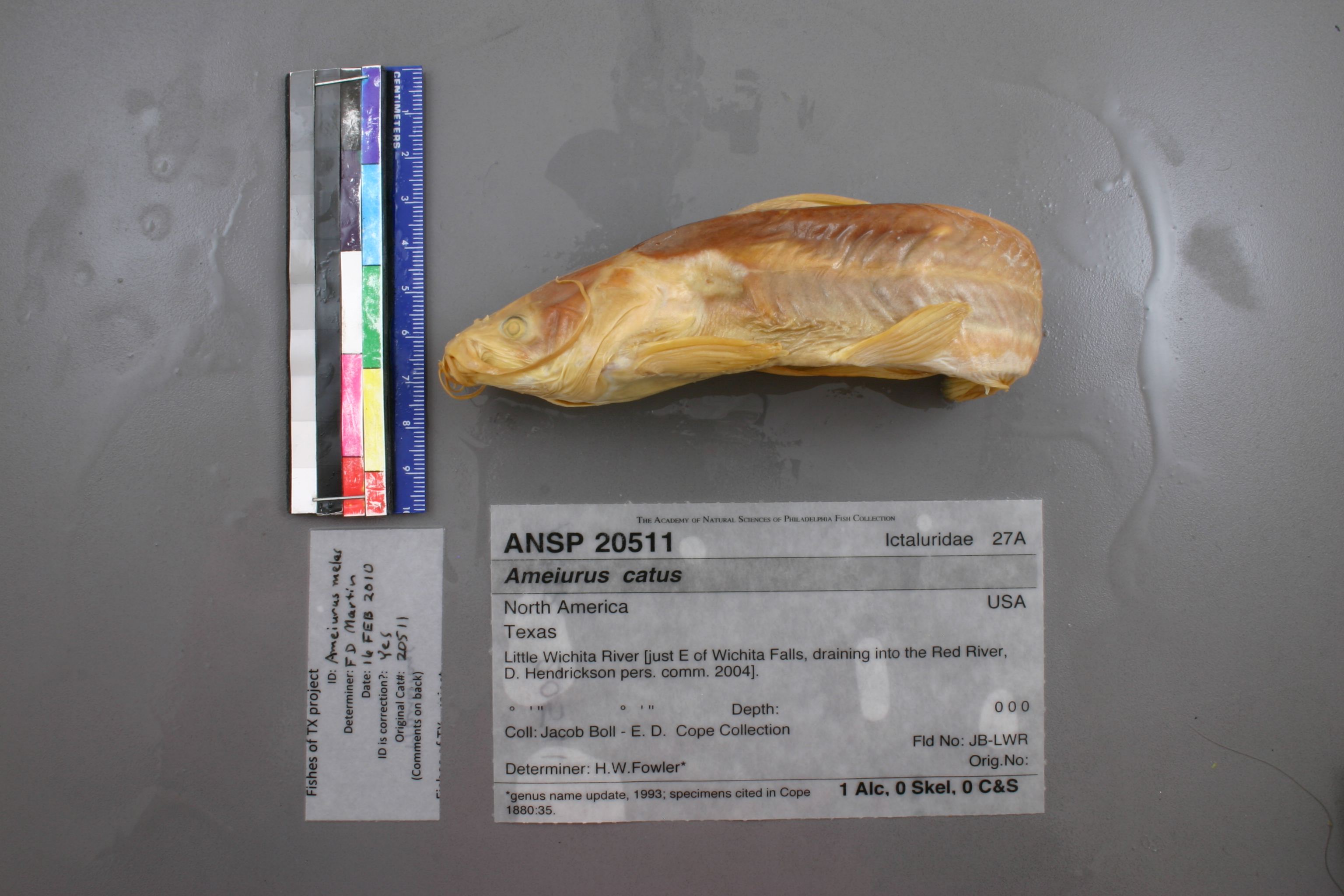
ANSP_20511
Not suspect, examinedPhotos
Map
Location
33.79223° N, 98.31625° W
(± 33044.7
m)
Taxonomy
GenusAmeiurus
Speciescatus
Identification
DeterminerH.W.Fowler*
Collection Event
CollectorJ.Boll
Collected Datenone
Geography
CountryUnknown
StateUnknown
CountyUnknown
LocalityLittle Wichita River.
Record Source
Source
Academy of Natural Sciences
(type: specimens)
Institution
Academy of Natural Sciences
(type: museum)
Curator
John G. Lundberg (but transitioning out)
Record Added
May 13, 2010
Record Last Modified
July 27, 2022
Data Processing Track
Track 2
From Data Set Received
04/2009 to 10/2010
Identification
Suspect Notes
None
Count
No data
Current Determination
Determiner
Floyd Douglas Martin
Determination Date
Feb. 16, 2010
Determination Type
specimen examination
Identification Comments
ID complete | 19 anal rays
Identification Confidence
High
Collecting Event
Collected
Jan. 1, 1869
– Dec. 31, 1880
Collector(s)
Collecting Event ID
18109
Field Notes
There are no field notes available.
Locality
Region
Rolling Plains
Jurisdiction
Clay, Texas
Name
Little Wichita River, entire length
Hydrography
Arkansas-White-Red Region
Red-Washita
Red-Lake Texoma
Little Wichita
Dry Fork Little Wichita River-Little Wichita River
Duck Creek-Little Wichita River
Captive
no
Locality Photos
No locality photos available.
flag (suspect/examine)
suspect: FALSE
flag (suspect/examine)
suspect: noexamination: yes
date
date_range: 1/1/1869-12/31/1880
collectors
collectors: Boll, Jacob
staff comment
ID Status: Specimen examined and ID'ed for FoTX projectID Comments: 19 anal raysID Confidence: high
collectors
collectors: Jacob Boll
date
date_range: 1/1/1830-12/31/1880
georeference
Error: 33044.6603518582Locality: Little Wichita River, entire lengthCoordinates: 33.792233188;-98.316253823Georeferencer: AECGeographic note: Inland USA Texas
Comments On ANSP_20511