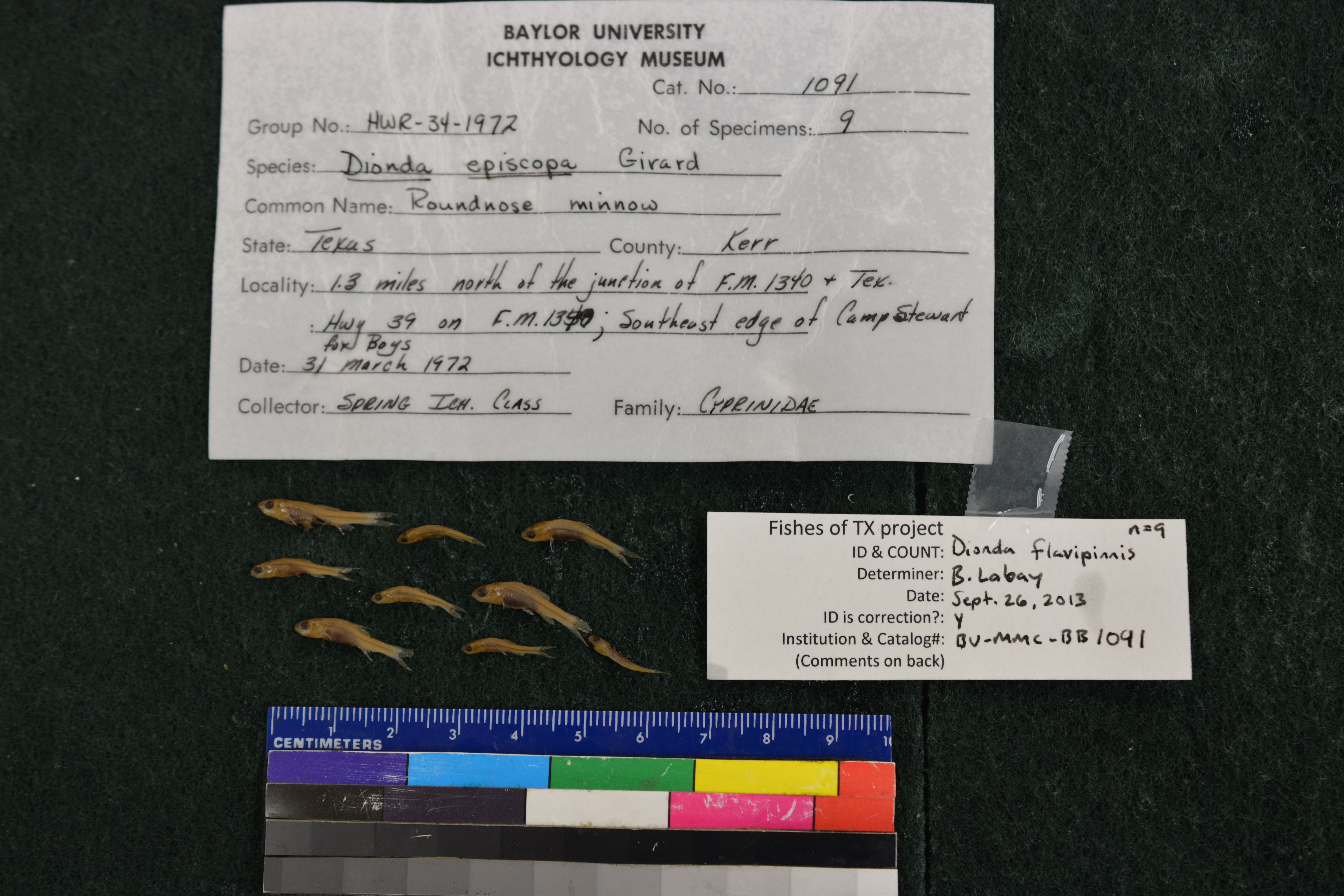
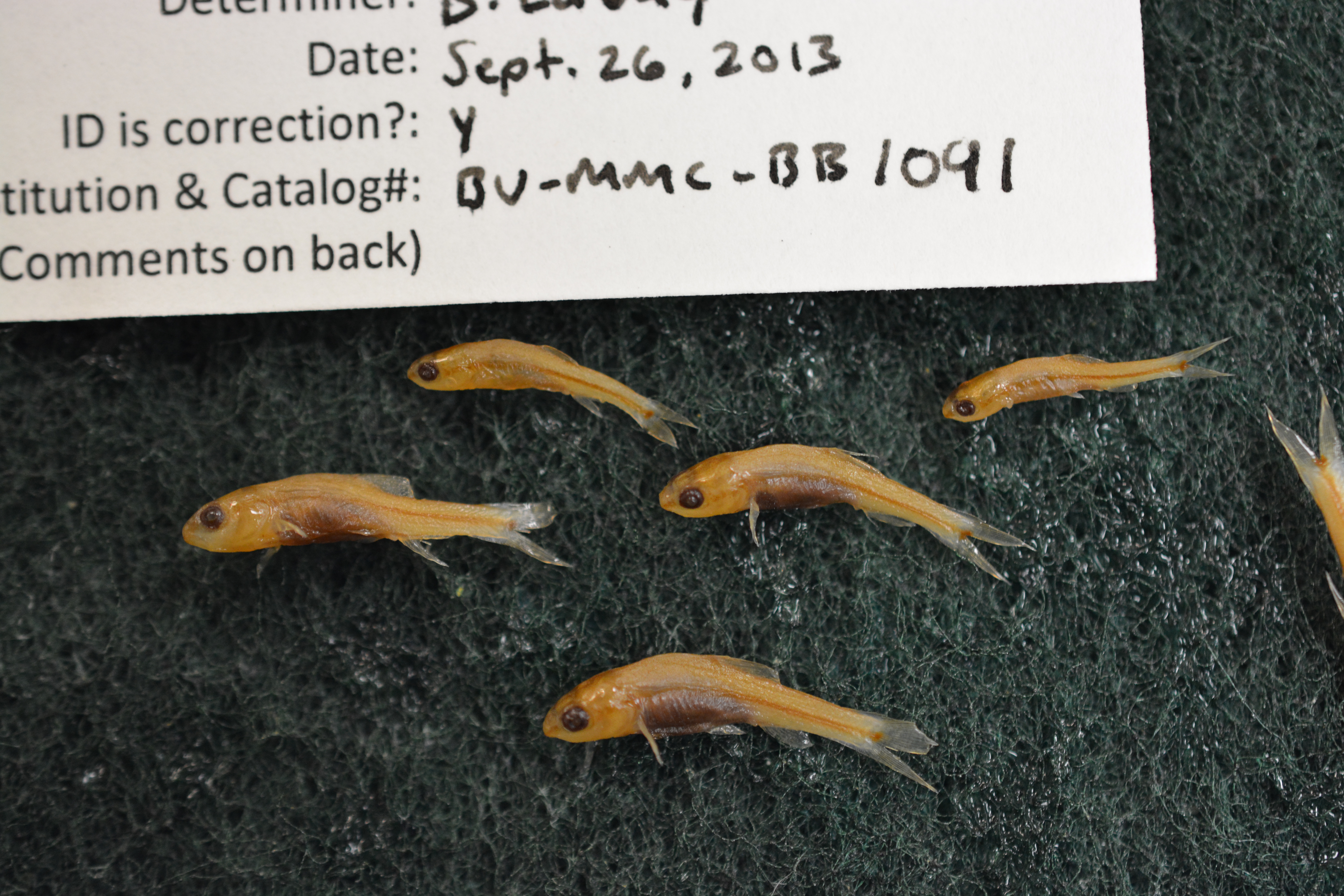
BU-MMC-BB_1091
Not suspect, examinedPhotos
Map
Location
30.06137° N, 99.36391° W
(± 562.3
m)
Taxonomy
GenusDionda
Speciesepiscopa
Specimen
Num Specimens9
Identification
DeterminerLea
Collection Event
Collected Date1971.3.31
Geography
LocalityGuadelupe River; 1.3 miles N of the junction of FM 1340 and TX Hwy 39 on FM 1340; SE edge of Camp Stewart for Boys; Kerr Co., TX
Other
CollectionX
Boxed9
Sl12-19
Record Source
Source
Baylor University, Mayborn Museum Complex
(type: specimens)
Institution
Baylor University, Mayborn Museum Complex
(type: museum)
Curator
Anita Benedict
Record Added
April 23, 2015
Record Last Modified
June 22, 2022
Data Processing Track
Track 2
From Data Set Received
04/2009 to 10/2010
Identification
Suspect Notes
None
Count
9
Current Determination
Determiner
Ben Labay
Determination Date
Sept. 27, 2013
Determination Type
specimen examination
Identification Comments
Specimen examined and Id'ed for FoTX project.
Identification Confidence
High
Collecting Event
Collected
March 31, 1971
Collector(s)
No collector information is available for this record.
Collecting Event ID
17730
Field Notes
There are no field notes available.
Locality
Region
Edwards Plateau
Jurisdiction
Kerr, Texas
Name
North Fork Guadalupe River at the southeast edge of Camp Stewart
Hydrography
Texas-Gulf Region
Central Texas Coastal
Guadalupe
Upper Guadalupe
Headwaters Guadalupe River
Lower North Fork Guadalupe River
Captive
no
Locality Photos
No locality photos available.
Comments On BU-MMC-BB_1091