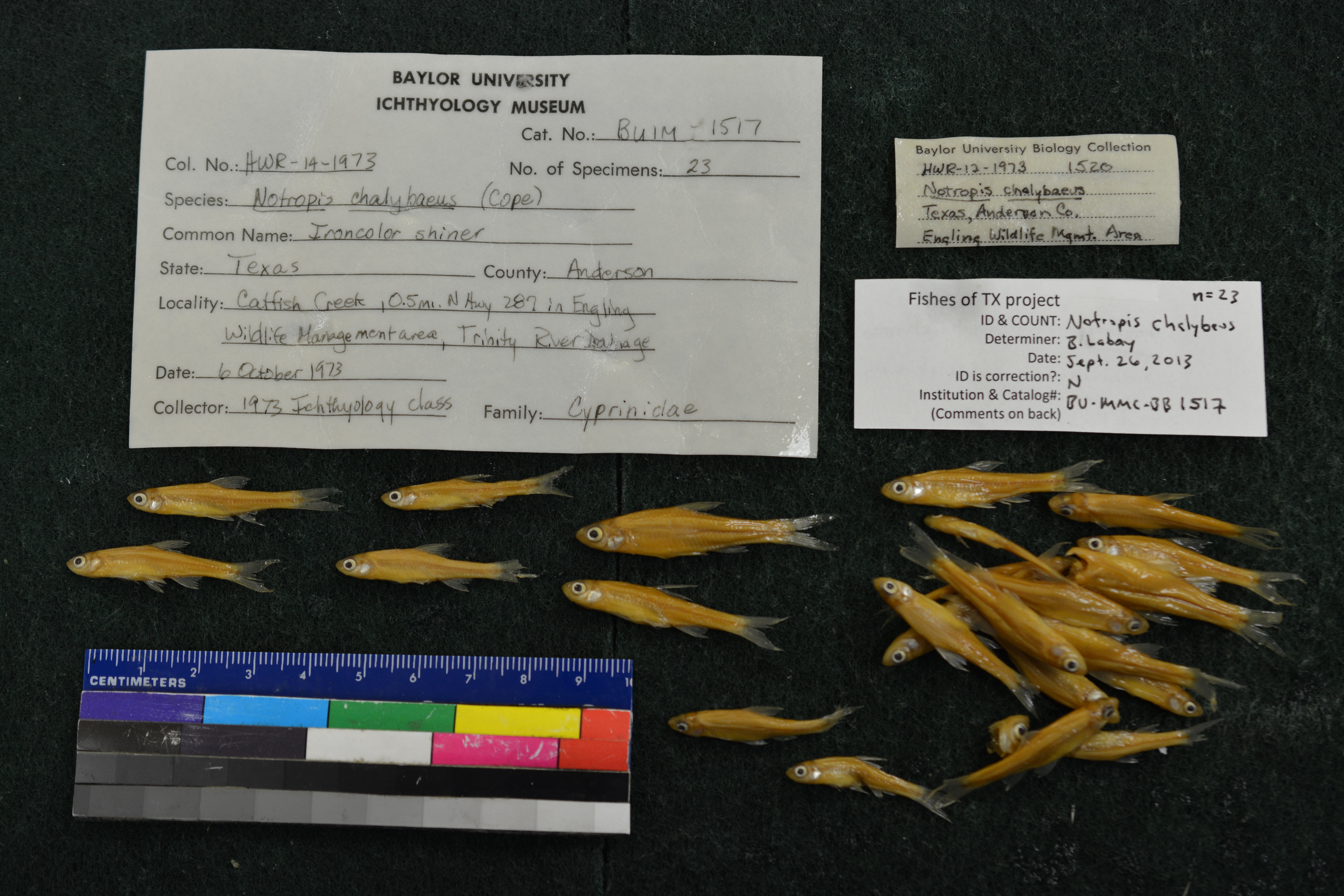
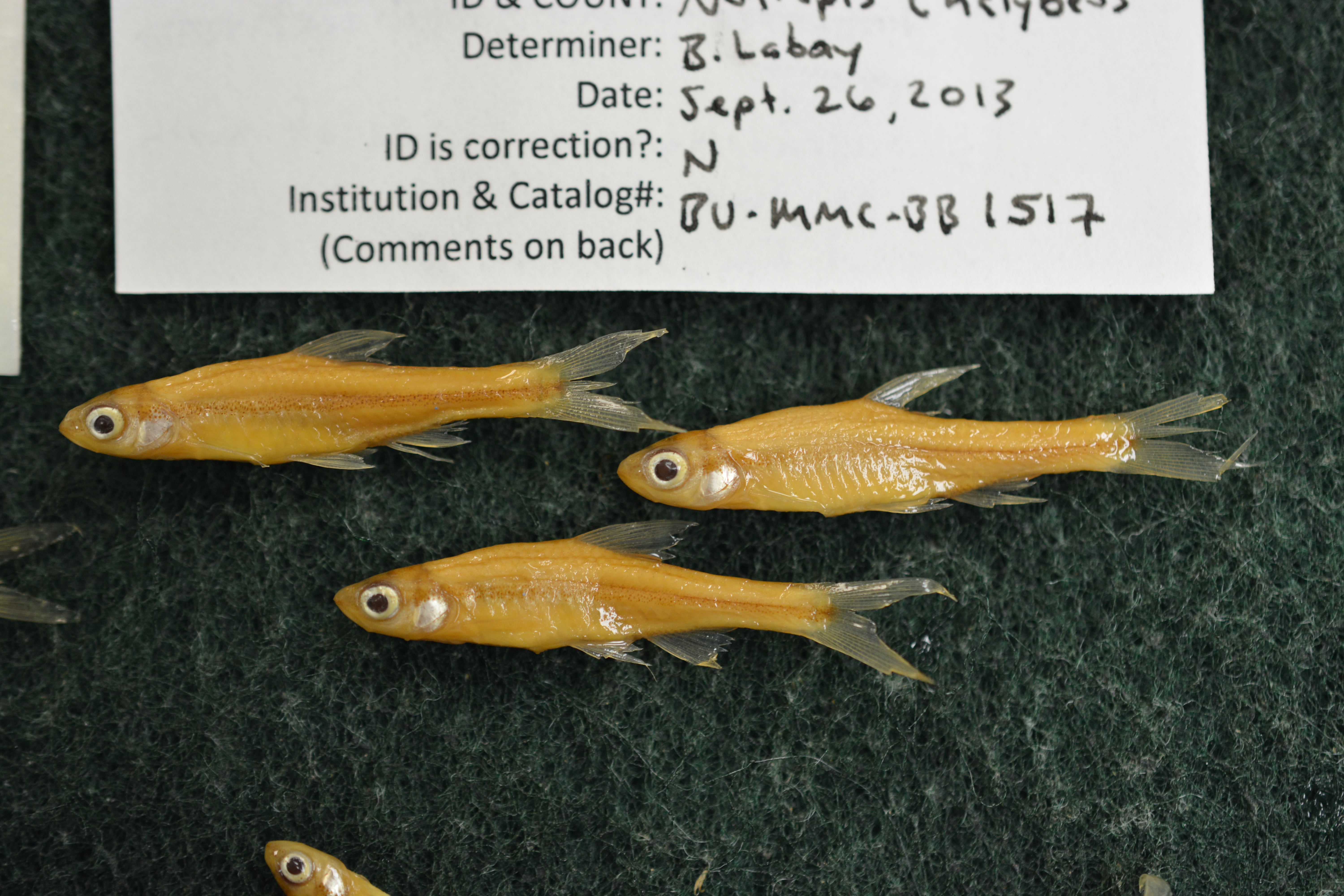
BU-MMC-BB_1517
Not suspect, examinedPhotos
Map
Location
31.88794° N, 95.86511° W
(± 1636.7
m)
Taxonomy
GenusNotropis
Specieschalybaeus
Specimen
Num Specimens23
Identification
DeterminerC. Scott
Collection Event
Collected Date1973.10.6
Geography
Locality0.5 miles N Hwy 287 in Engling Wildlife Management Area Catfish Creek, Trinity River drainage, Anderson Co., TX
Other
CollectionX
Boxed34
Sl27-42
Record Source
Source
Baylor University, Mayborn Museum Complex
(type: specimens)
Institution
Baylor University, Mayborn Museum Complex
(type: museum)
Curator
Anita Benedict
Record Added
April 23, 2015
Record Last Modified
June 22, 2022
Data Processing Track
Track 2
From Data Set Received
04/2009 to 10/2010
Identification
Suspect Notes
None
Count
23
Current Determination
Determiner
Ben Labay
Determination Date
Sept. 27, 2013
Determination Type
specimen examination
Identification Comments
Specimen examined and Id'ed for FoTX project. | 2 individuals have melanophores in interior of mouth and have 8 anal fin rays
Identification Confidence
High
Collecting Event
Collected
Oct. 6, 1973
Collector(s)
No collector information is available for this record.
Collecting Event ID
21539
Field Notes
There are no field notes available.
Locality
Region
Oak Woods & Prairies
Jurisdiction
Anderson, Texas
Name
Catfish Creek at South end of Engeling WMA.
Hydrography
Texas-Gulf Region
Trinity
Lower Trinity
Lower Trinity-Tehuacana
Catfish Creek
Lower Catfish Creek
Captive
no
Locality Photos
No locality photos available.
Comments On BU-MMC-BB_1517