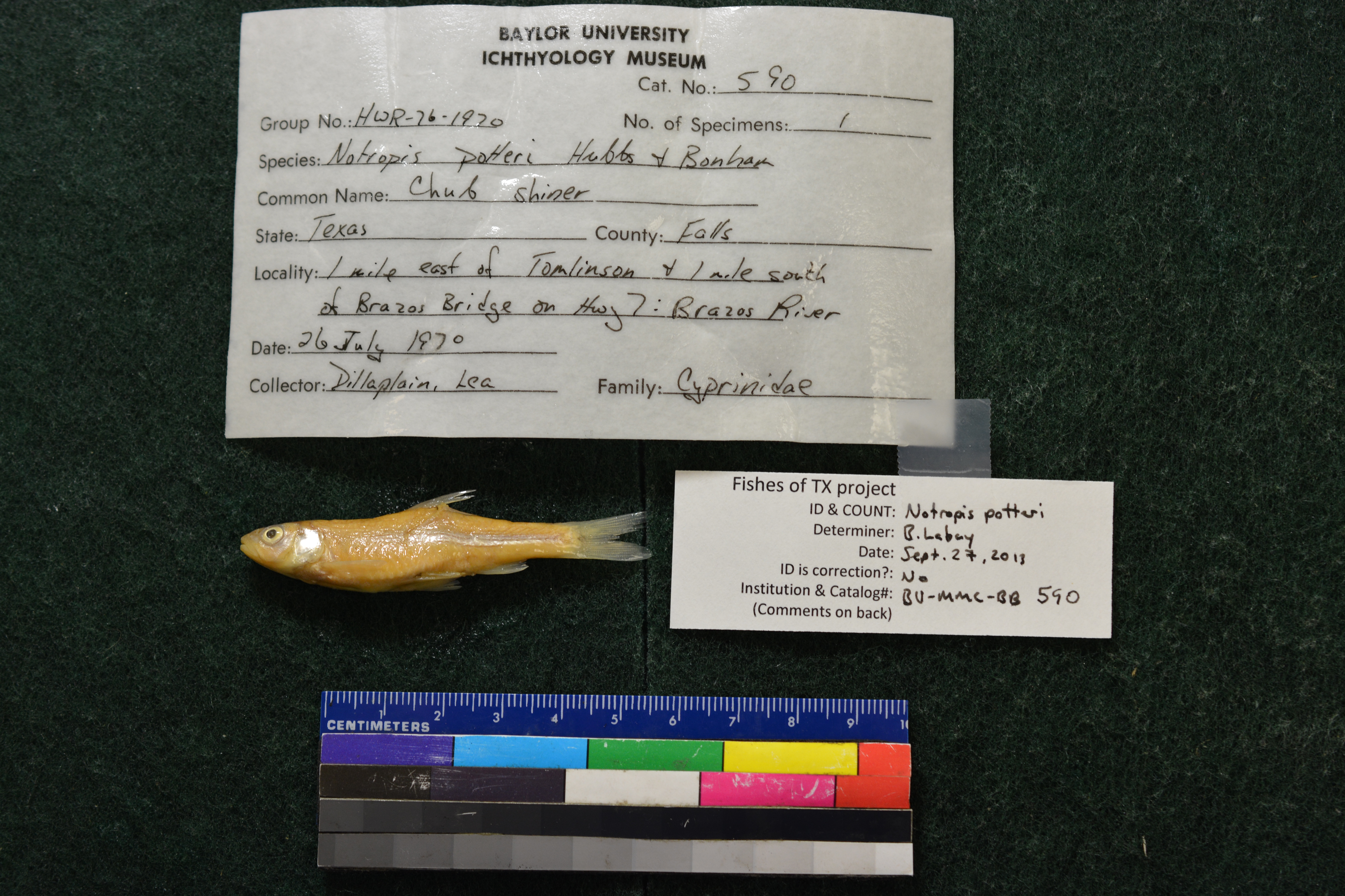
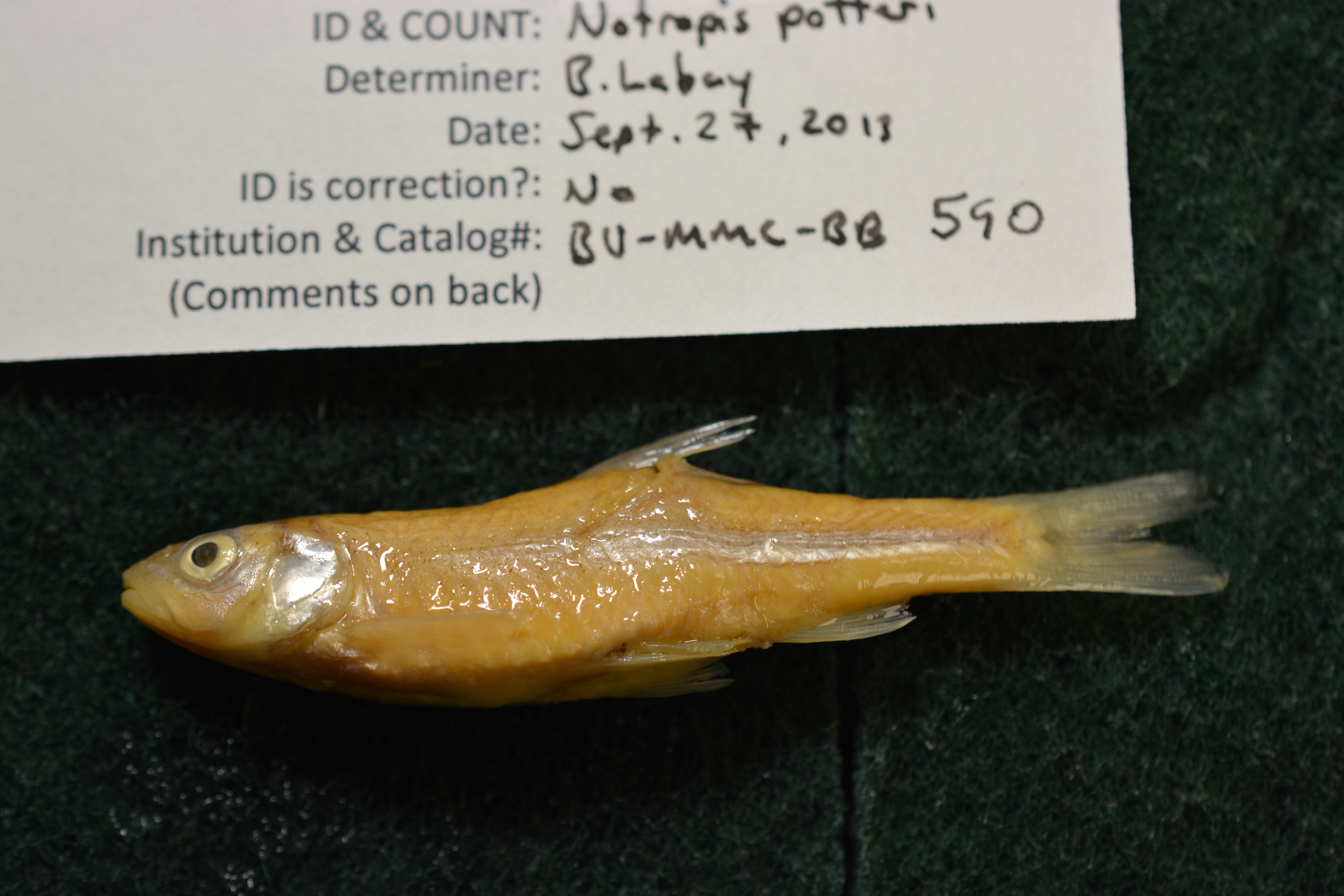
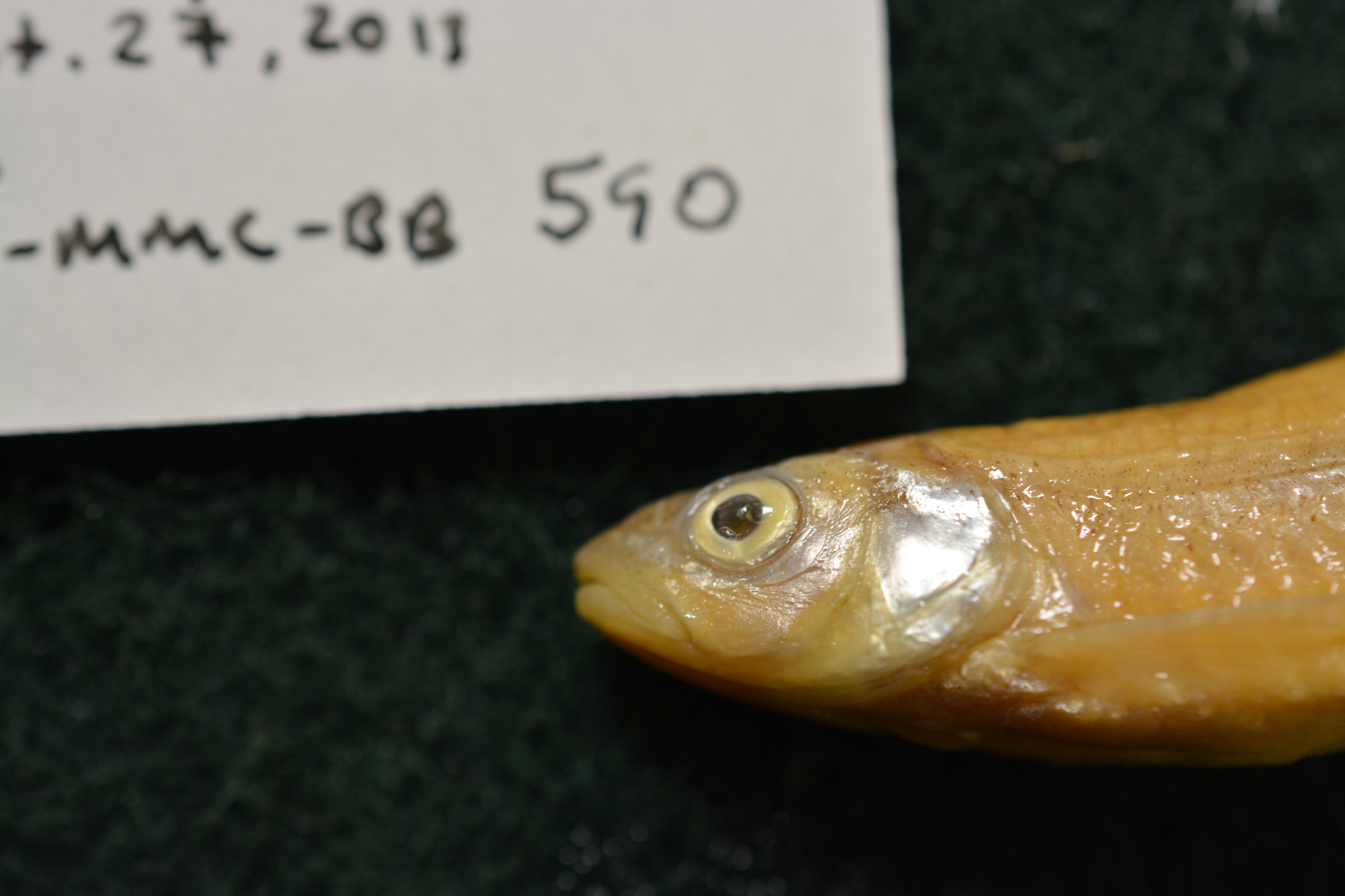
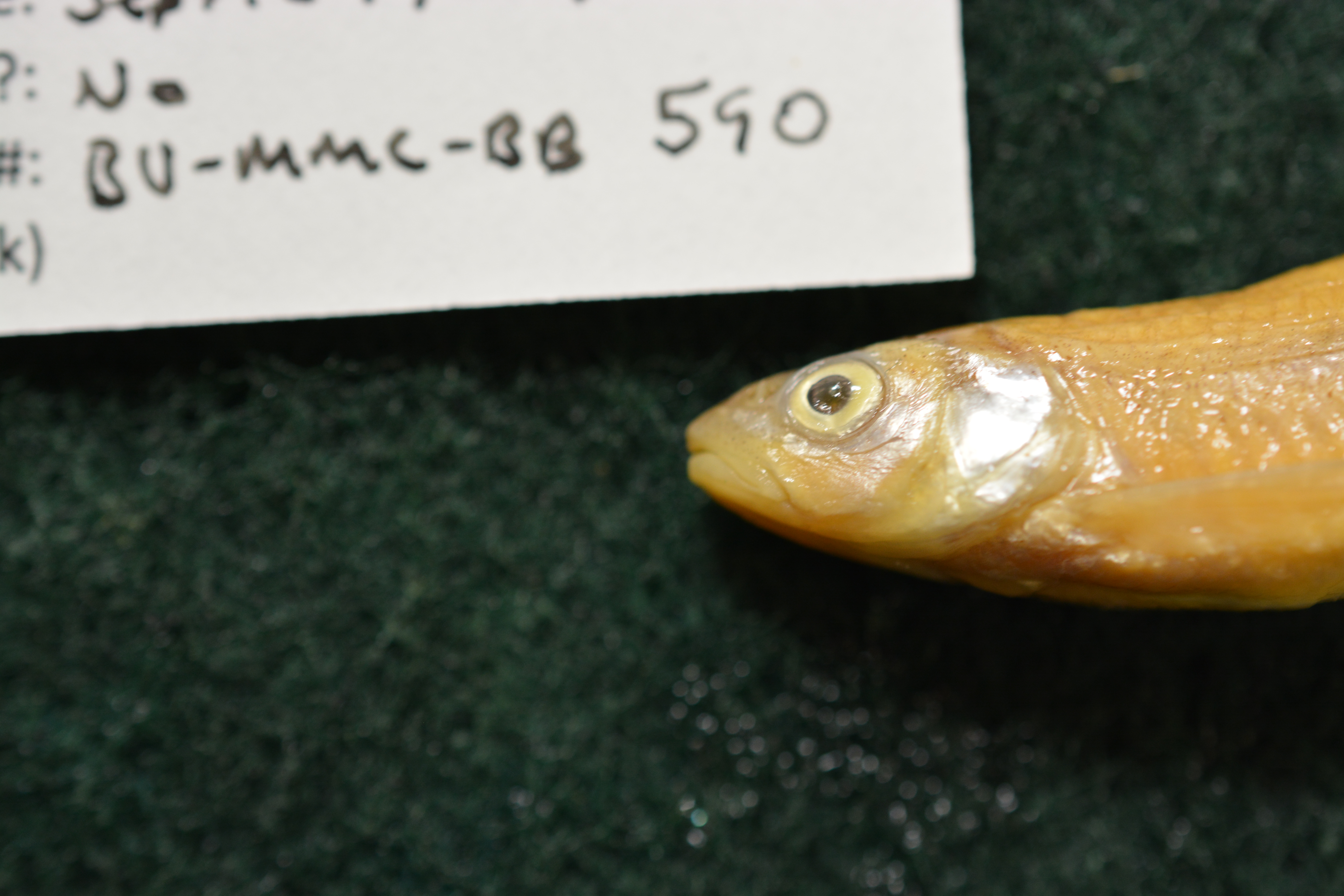
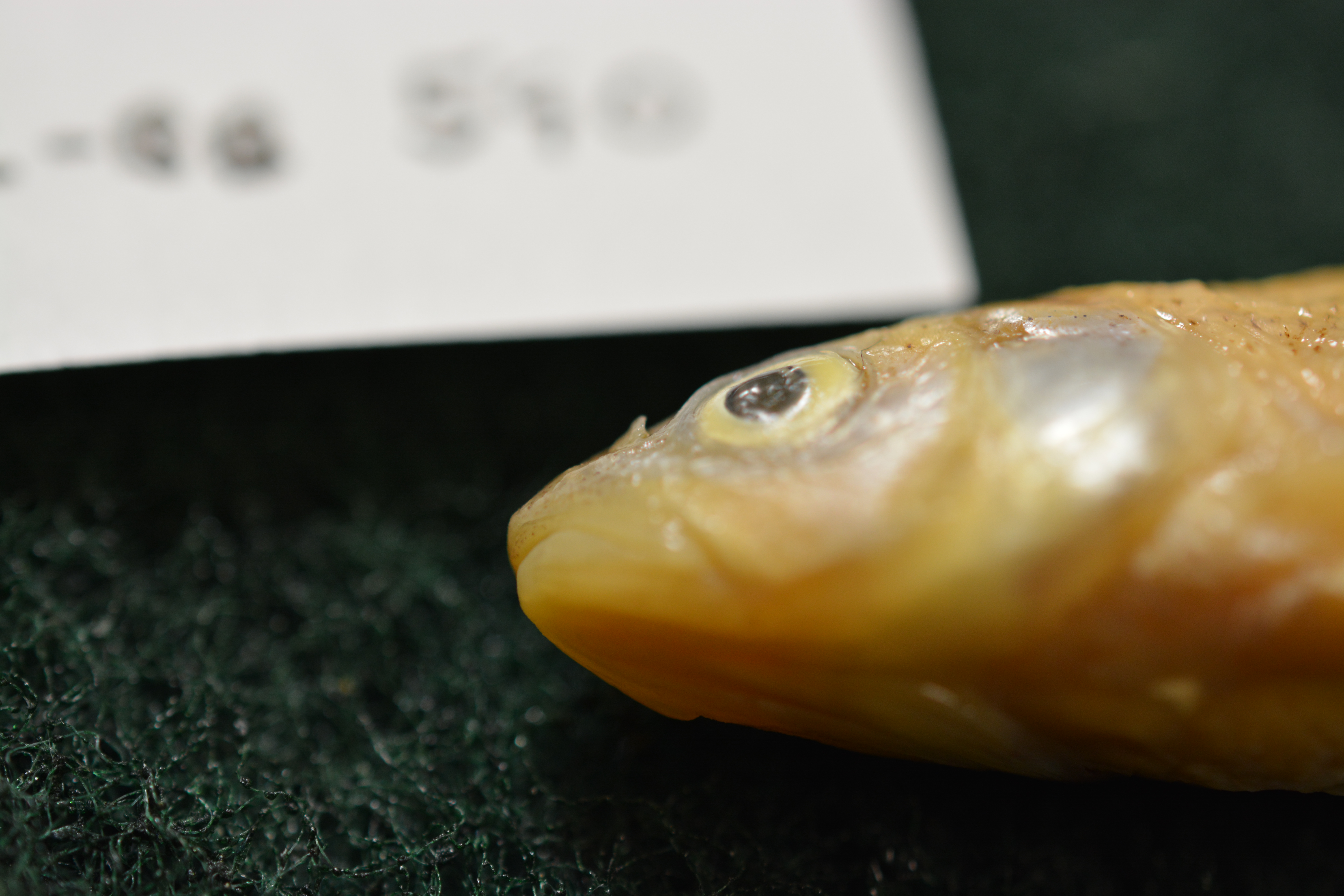
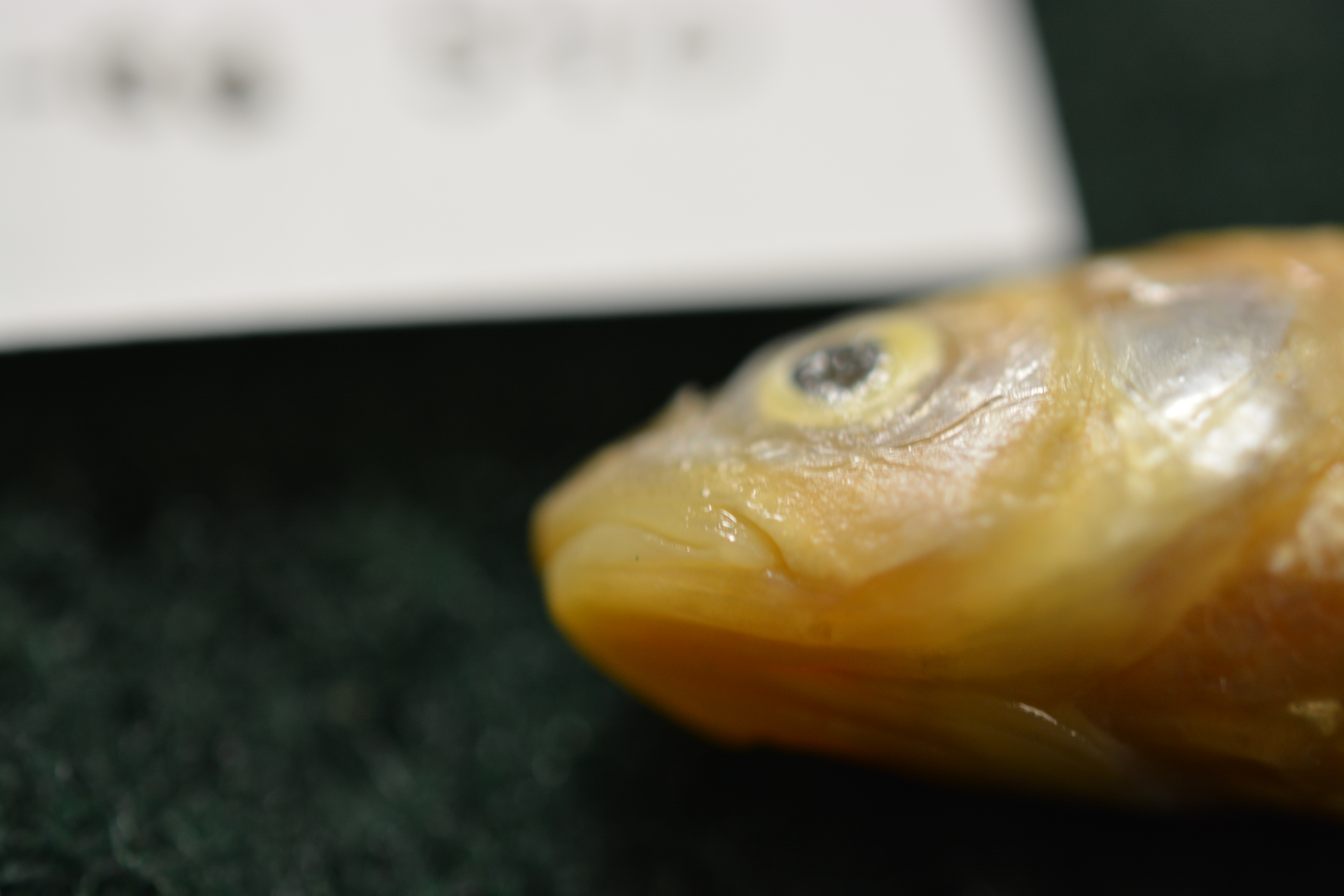
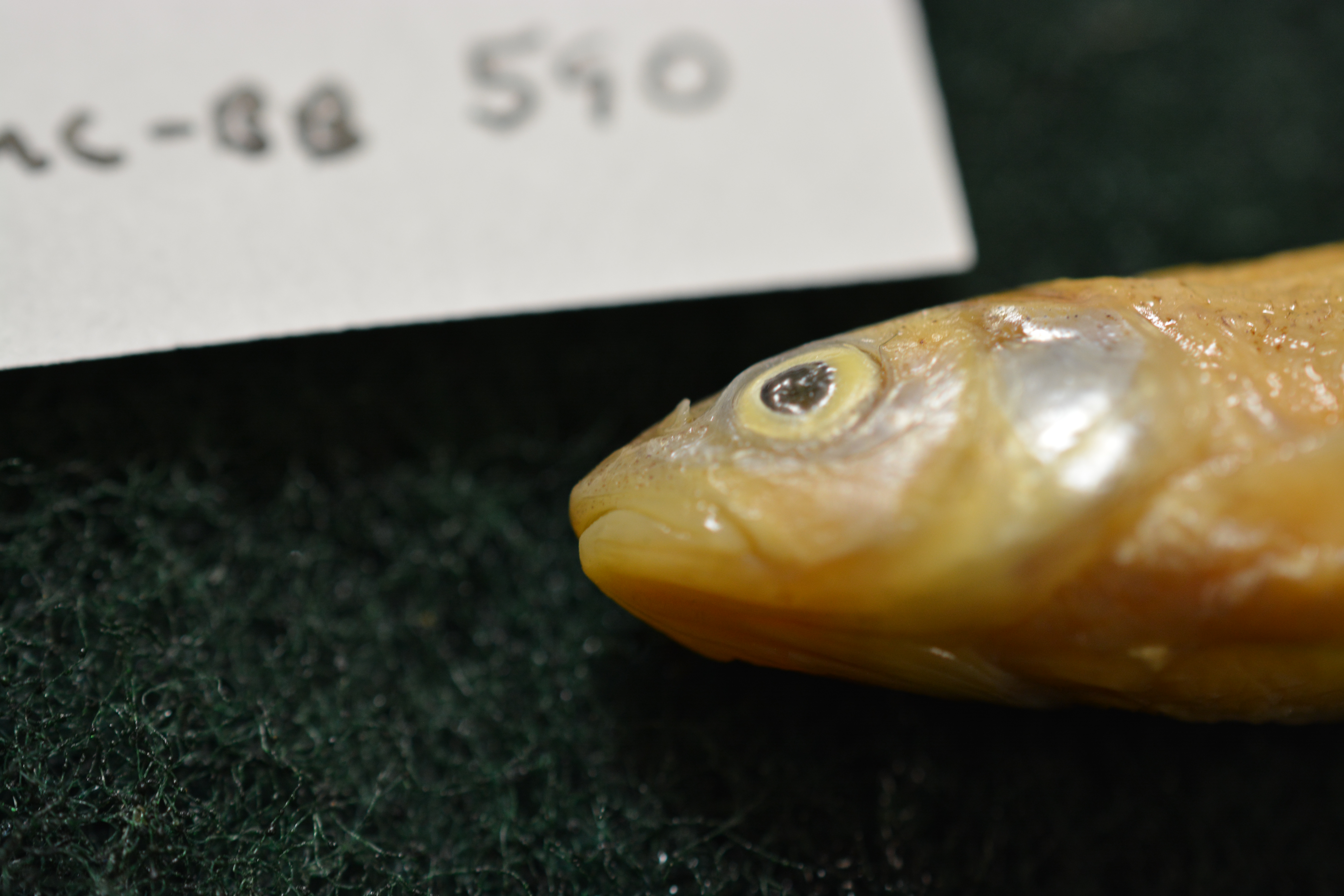
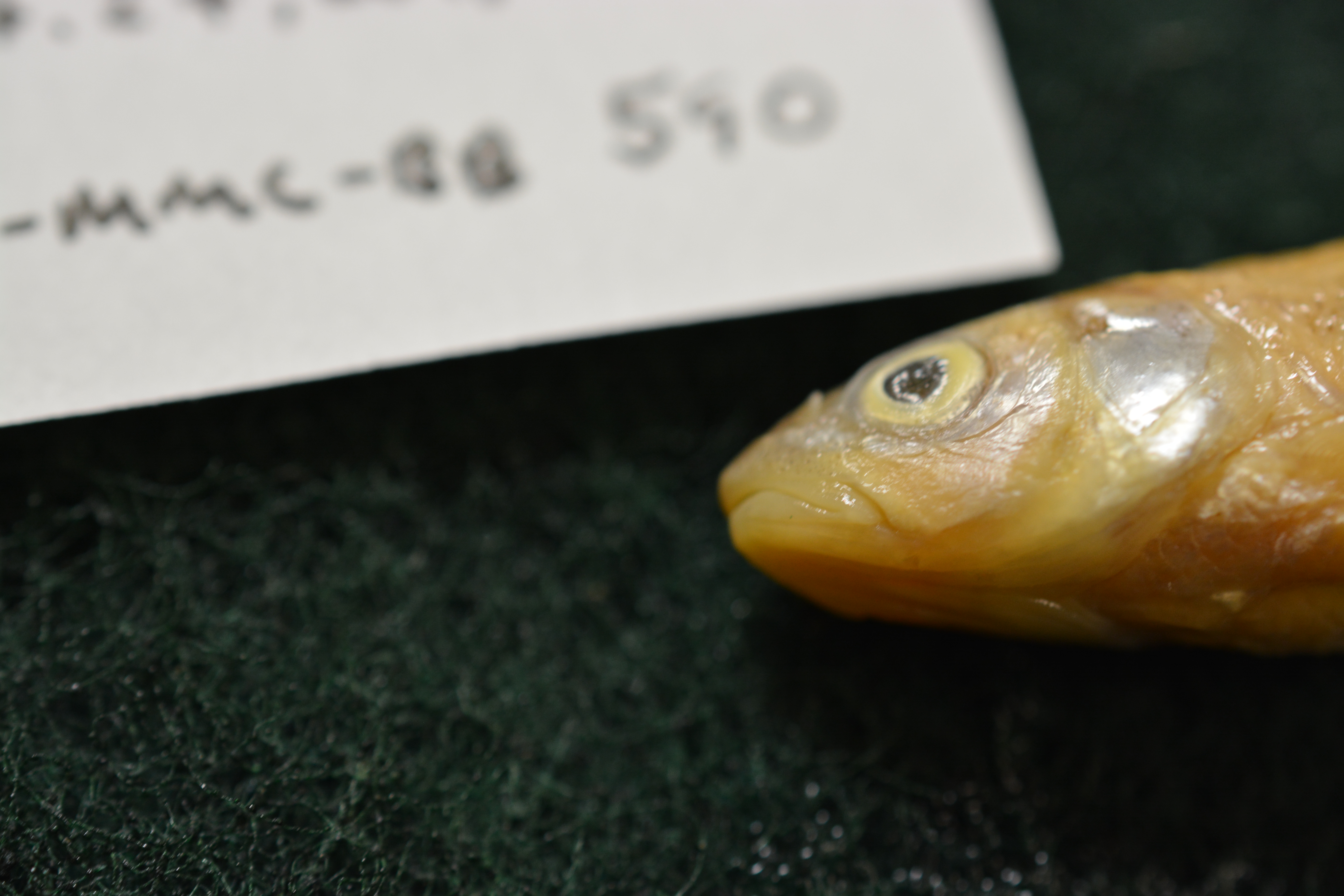
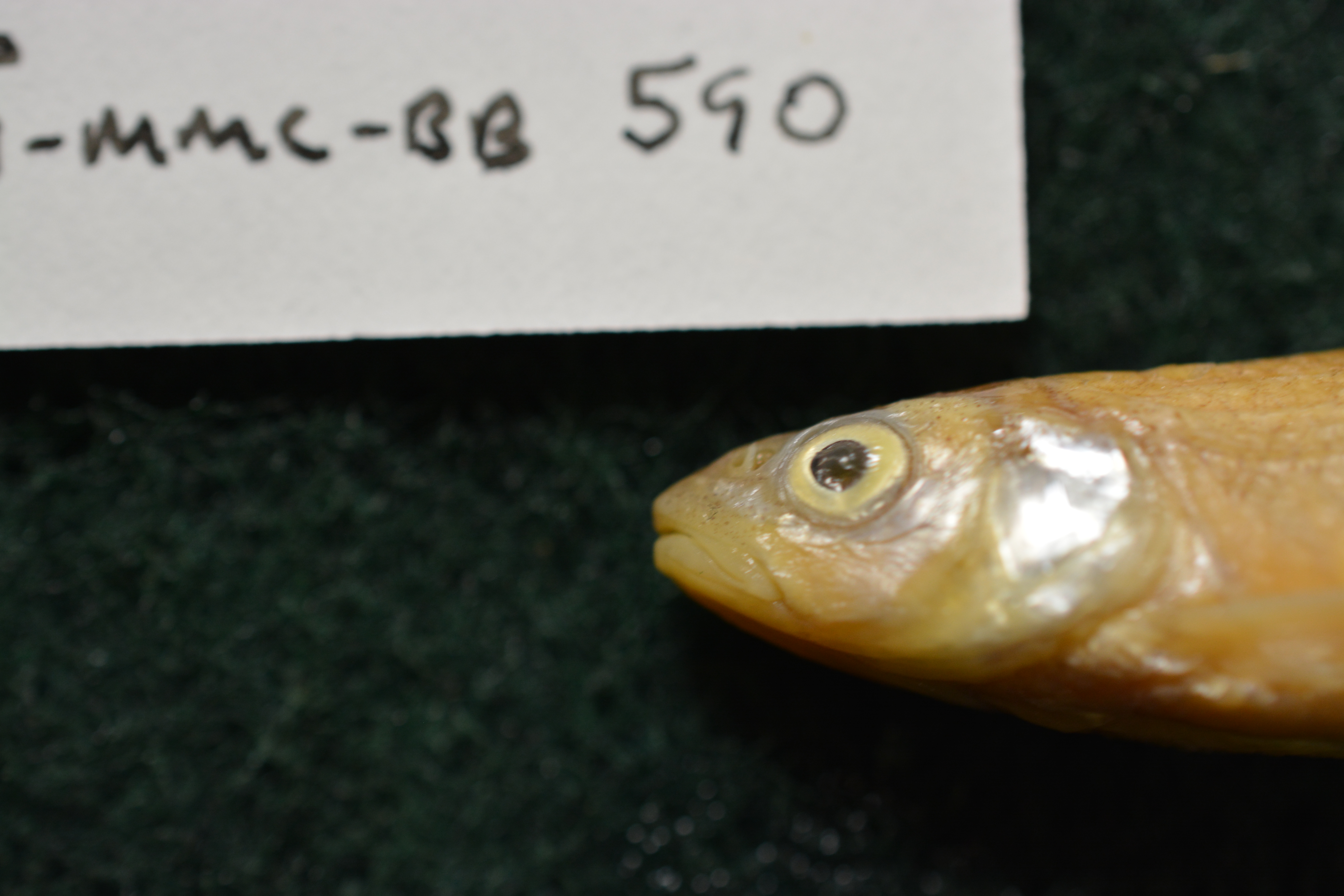
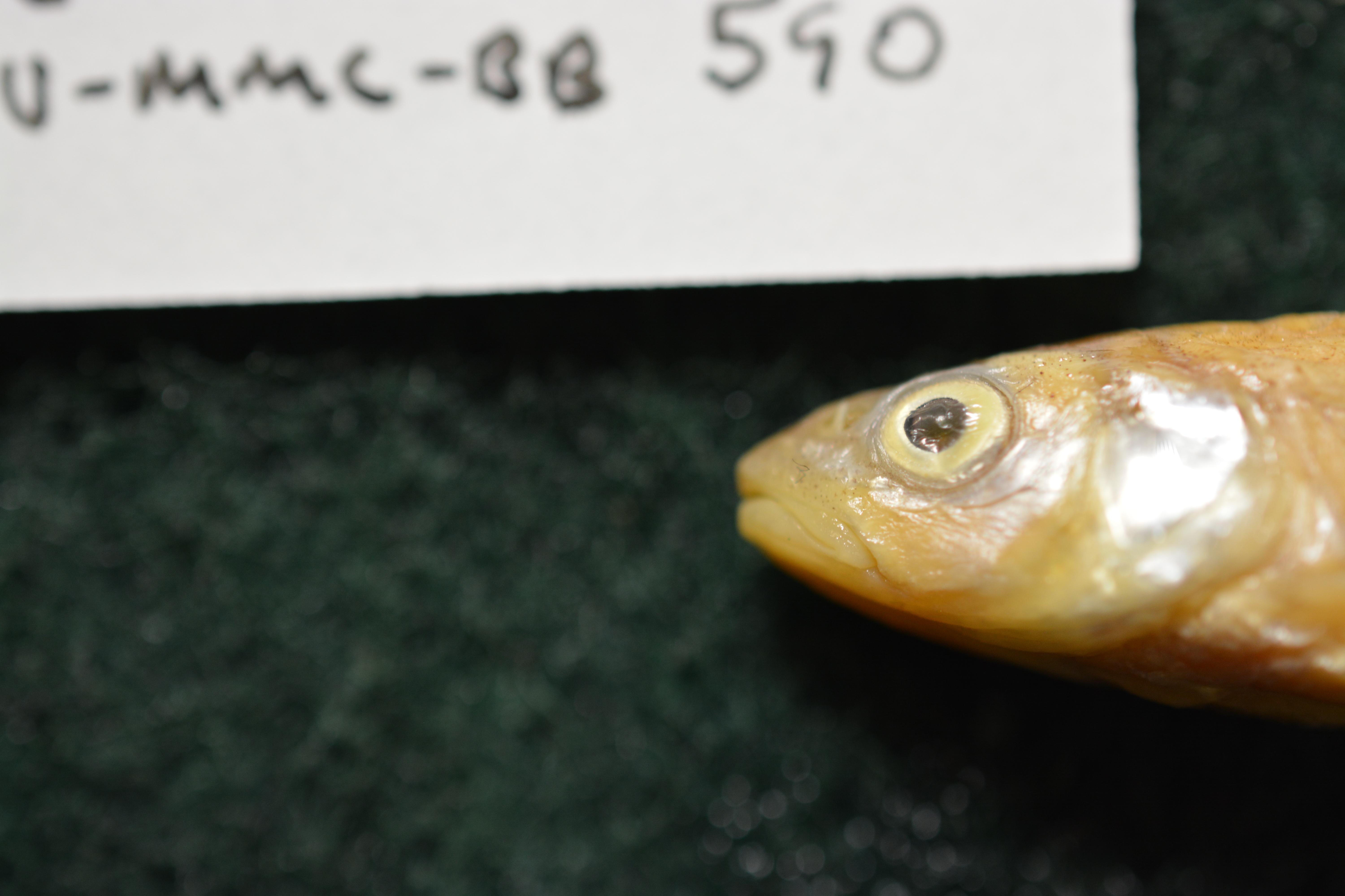
BU-MMC-BB_590
Not suspect, examinedPhotos
Map
Location
31.27460° N, 96.96168° W
(± 862.6
m)
Taxonomy
GenusNotropis
Speciespotteri
Specimen
Num Specimens1
Identification
DeterminerR.P. Dillaplain
Collection Event
Collected Date1970.7.26
Geography
Locality3 miles east of Memard, Texas: San Saba River
Other
CollectionX
Boxed37
Sl59 mm
Record Source
Source
Baylor University, Mayborn Museum Complex
(type: specimens)
Institution
Baylor University, Mayborn Museum Complex
(type: museum)
Curator
Anita Benedict
Record Added
April 23, 2015
Record Last Modified
June 22, 2022
Data Processing Track
Track 2
From Data Set Received
04/2009 to 10/2010
Identification
Suspect Notes
None
Count
1
Current Determination
Determiner
Ben Labay
Determination Date
Sept. 27, 2013
Determination Type
specimen examination
Identification Comments
Specimen examined and Id'ed for FoTX project.
Identification Confidence
High
Collecting Event
Collected
July 26, 1970
Collector(s)
No collector information is available for this record.
Collecting Event ID
11512
Field Notes
There are no field notes available.
Locality
Region
Blackland Prairies
Jurisdiction
Falls, Texas
Name
Brazos River, 1 mile S of SH 7
Hydrography
Texas-Gulf Region
Lower Brazos
Lower Brazos
Lower Brazos-Little Brazos
Deer Creek-Brazos River
Perry Creek-Brazos River
Captive
no
Locality Photos
No locality photos available.
HUC 12
120701010111
Georeferencing Remarks
Treated as distance along a path. Point placed at measured distance below SH 7 bridge and uncertainty includes halfway back to bridge
Georeferencing Annotation
Originally placed by donor in Colorado drainage. We re-georeferenced this point to conform to the location on the label in the jar.
Has not been Georeferenced because
—
Comments On BU-MMC-BB_590