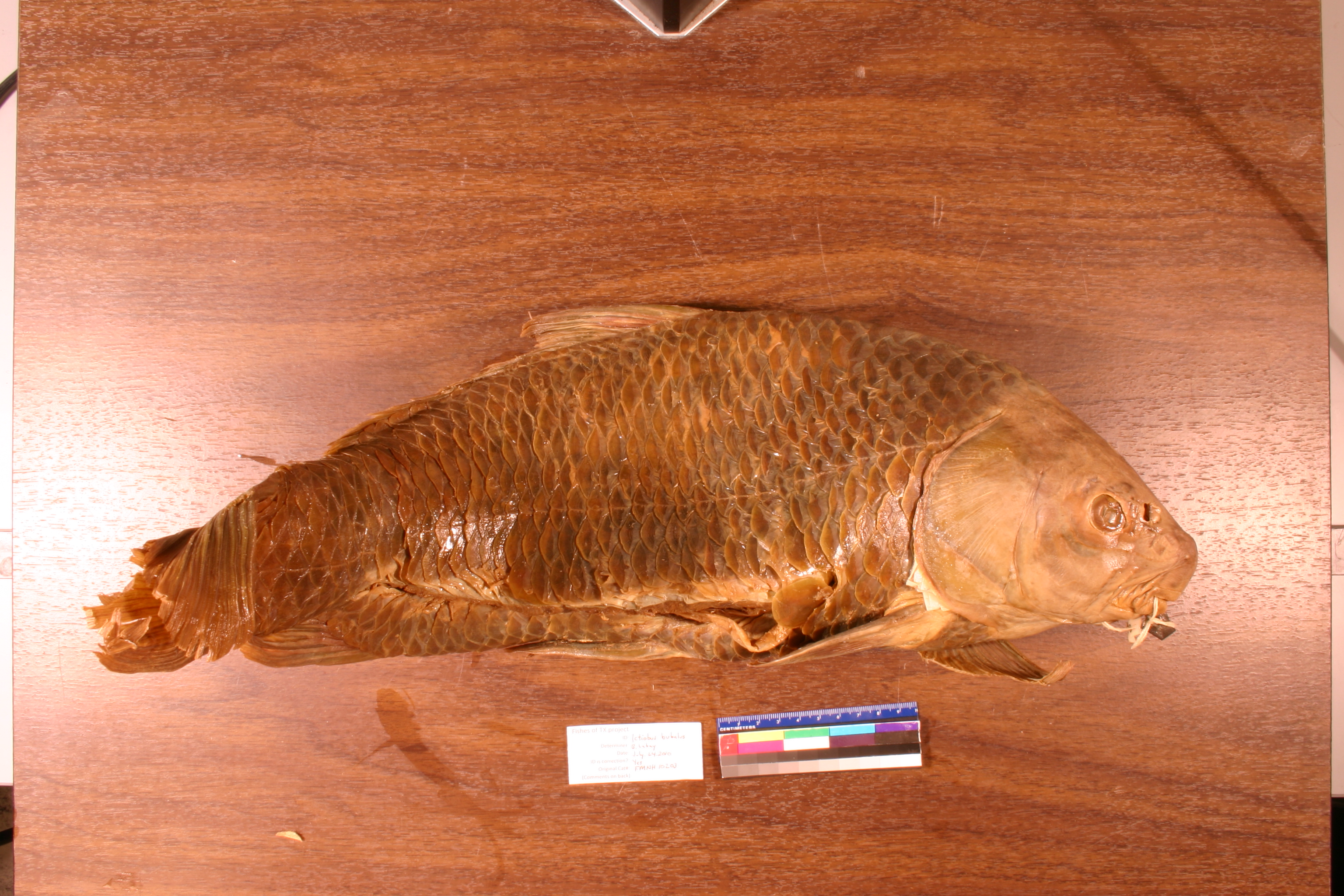
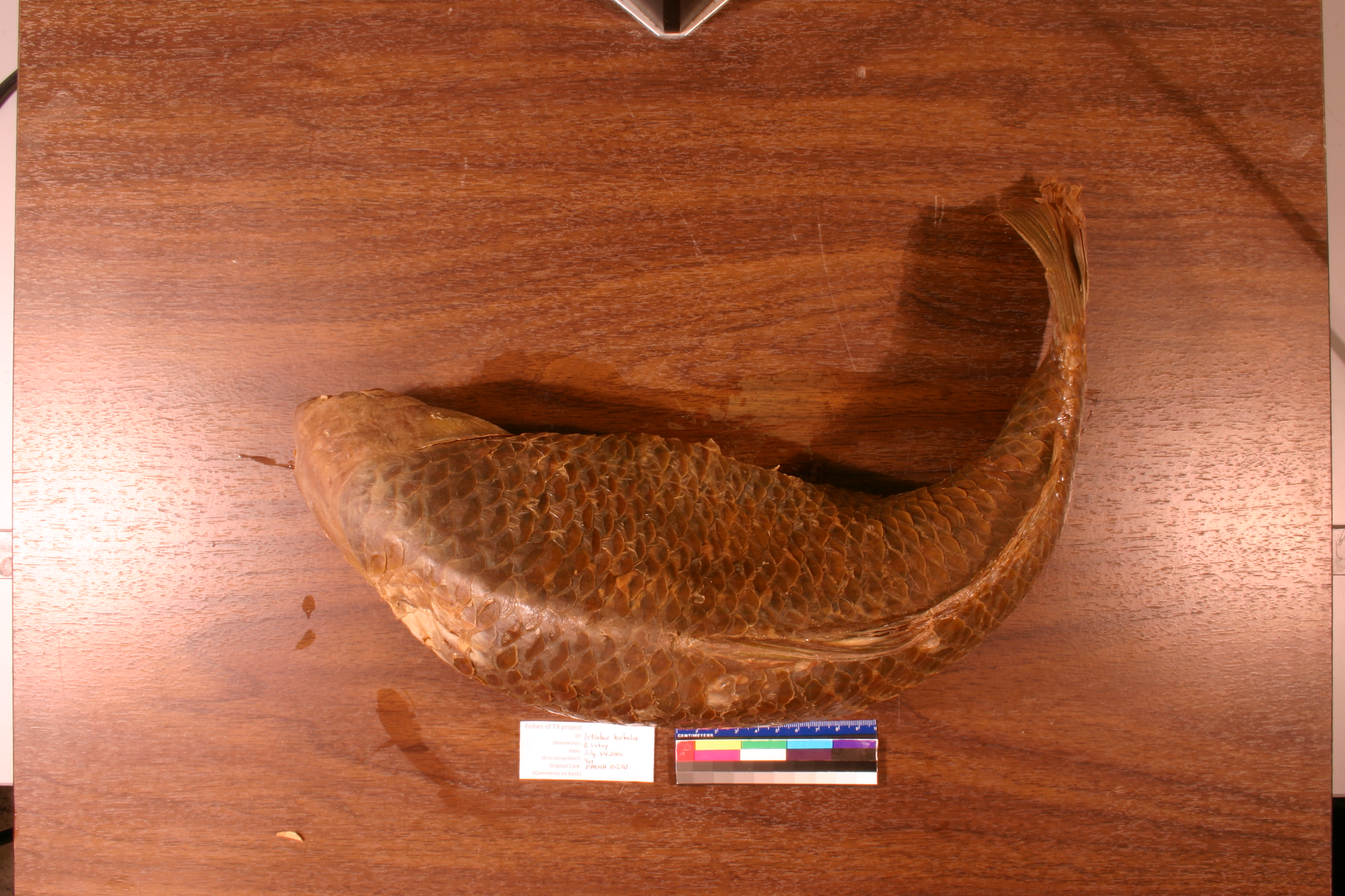
FMNH_10203
Not suspect, examinedPhotos
Map
Location
25.89902° N, 97.49794° W
(± 3800
m)
Taxonomy
GenusCarpiodes
Speciessp.
Specimen
Num Specimens0
Collection Event
CollectorA.C. Weed and Camp
Collected Date2023.8.31
Geography
DrainageNueces-Rio Grande
CountryUnited States
StateTexas
CountyCameron
Locality"Brownsville, brackish pond north of Sugar Mill."
Record Source
Source
Field Museum of Natural History
(type: specimens)
Institution
Field Museum of Natural History
(type: museum)
Curator
Mark W. Westneat
Record Added
May 13, 2010
Record Last Modified
June 22, 2022
Data Processing Track
Track 2
From Data Set Received
5/2017 to 11/2017
Identification
Suspect Notes
None
Count
No data
Current Determination
Determiner
Ben Labay
Determination Date
July 14, 2010
Determination Type
specimen examination
Identification Comments
ID complete
Identification Confidence
High
Collecting Event
Collected
Aug. 31, 1923
Collector(s)
Collecting Event ID
7222
Field Notes
There are no field notes available.
Locality
Region
South Texas Brush Country
Jurisdiction
Cameron, Texas
Name
Brownsville
Hydrography
Texas-Gulf Region
Nueces-Southwestern Texas Coastal
Southwestern Texas Coastal
South Laguna Madre
Brownsville Ship Channel
Bahia Grande-Brownsville Ship Channel
Captive
no
Locality Photos
No locality photos available.
HUC 12
121102080900
Georeferencing Remarks
1926 map of Brownsville (http://legacy.lib.utexas.edu/maps/historical/brownsville_tx_1926.jpg) shows a much smaller city than what it is currently. Used this to define the geographic extent. Point placed on Rio Grande and extent runs to cover all of Town Resaca.
Georeferencing Annotation
—
Has not been Georeferenced because
—
flag (suspect/examine)
suspect: FALSE
flag (suspect/examine)
suspect: noexamination: yes
date
date_range: 8/31/1923-8/31/1923
collectors
collectors: Weed, A.C. Camp, R.D.
staff comment
ID Status: Specimen examined and ID'ed for FoTX projectID Confidence: high
collectors
collectors: A.C. Weed, R.D. Camp
date
date_range: 8/31/1923-8/31/1923
georeference
Error: 6973.28755197008Locality: Unspecified brackish pond, BrownsvilleCoordinates: 25.916864696;-97.501624722Georeferencer: AECGeographic note: Inland USA Texas
Comments On FMNH_10203