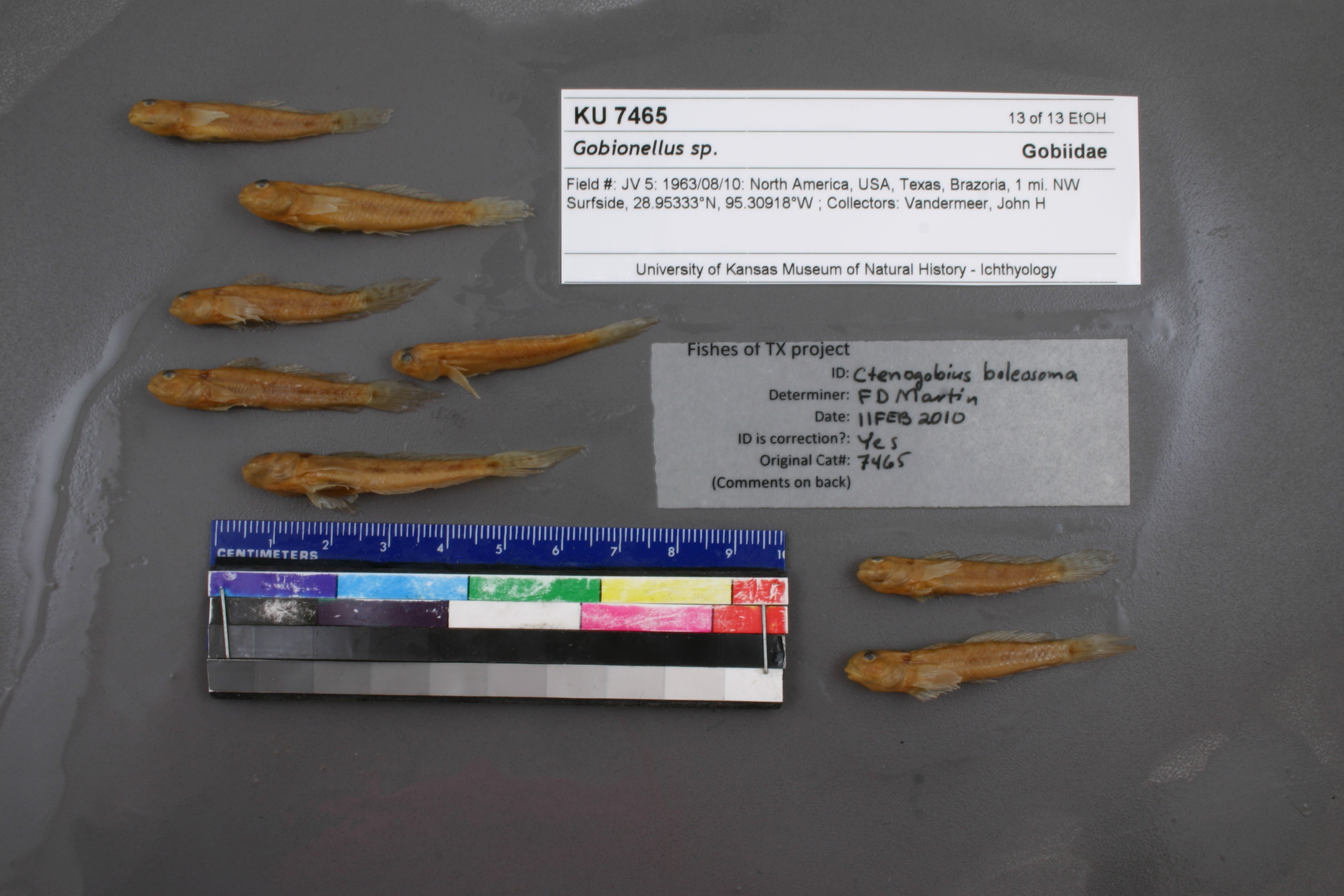
KUI_7465
Not suspect, examinedPhotos
Map
Location
28.95553° N, 95.30526° W
(± 2806.7
m)
Taxonomy
GenusGobionellus
Speciessp.
Specimen
Num Specimens0
Identification
DeterminerUnknown
Collection Event
CollectorJ. H. Vandermeer
Collected Date1963.8.10
Geography
CountryUnited States
StateTexas
CountyBrazoria
Locality1 mi NW Surfside
Record Source
Source
Natural History Museum and Biodiversity Research Center
(type: specimens)
Institution
Natural History Museum and Biodiversity Research Center
(type: museum)
Curator
Leo Smith
Record Added
May 13, 2010
Record Last Modified
March 23, 2026
Data Processing Track
Track 2
From Data Set Received
11/1997 to 05/2006
Identification
Suspect Notes
None
Count
No data
Current Determination
Determiner
Floyd Douglas Martin
Determination Date
Feb. 11, 2010
Determination Type
specimen examination
Identification Comments
ID complete
Identification Confidence
High
Collecting Event
Collected
Aug. 10, 1963
Collector(s)
Collecting Event ID
7301
Field Notes
There are no field notes available.
Locality
Region
Gulf Coast Prairies & Marshes
Jurisdiction
Brazoria, Texas
Name
1 mile northwest of Surfside
Hydrography
Texas-Gulf Region
Galveston Bay-San Jacinto
Galveston Bay-Sabine Lake
Austin-Oyster
Lower Oyster Creek
Lower Oyster Creek
Captive
no
Locality Photos
No locality photos available.
flag (suspect/examine)
suspect: FALSE
flag (suspect/examine)
suspect: noexamination: yes
date
date_range: 8/10/1963-8/10/1963
collectors
collectors: Vandermeer, John H.
staff comment
ID Status: Specimen examined and ID'ed for FoTX projectGeoref Remark: Measured by airID Confidence: high
collectors
collectors: J.H. Vandermeer
date
date_range: 8/10/1963-8/10/1963
georeference
Error: 2806.69593598796Remarks: Measured by airLocality: 1 mile northwest of SurfsideCoordinates: 28.955525754;-95.305255329Georeferencer: AECGeographic note: Inland USA Texas
Measured by air
Comments On KUI_7465