NLU_19922 1 duplicate
Not suspect, not examined
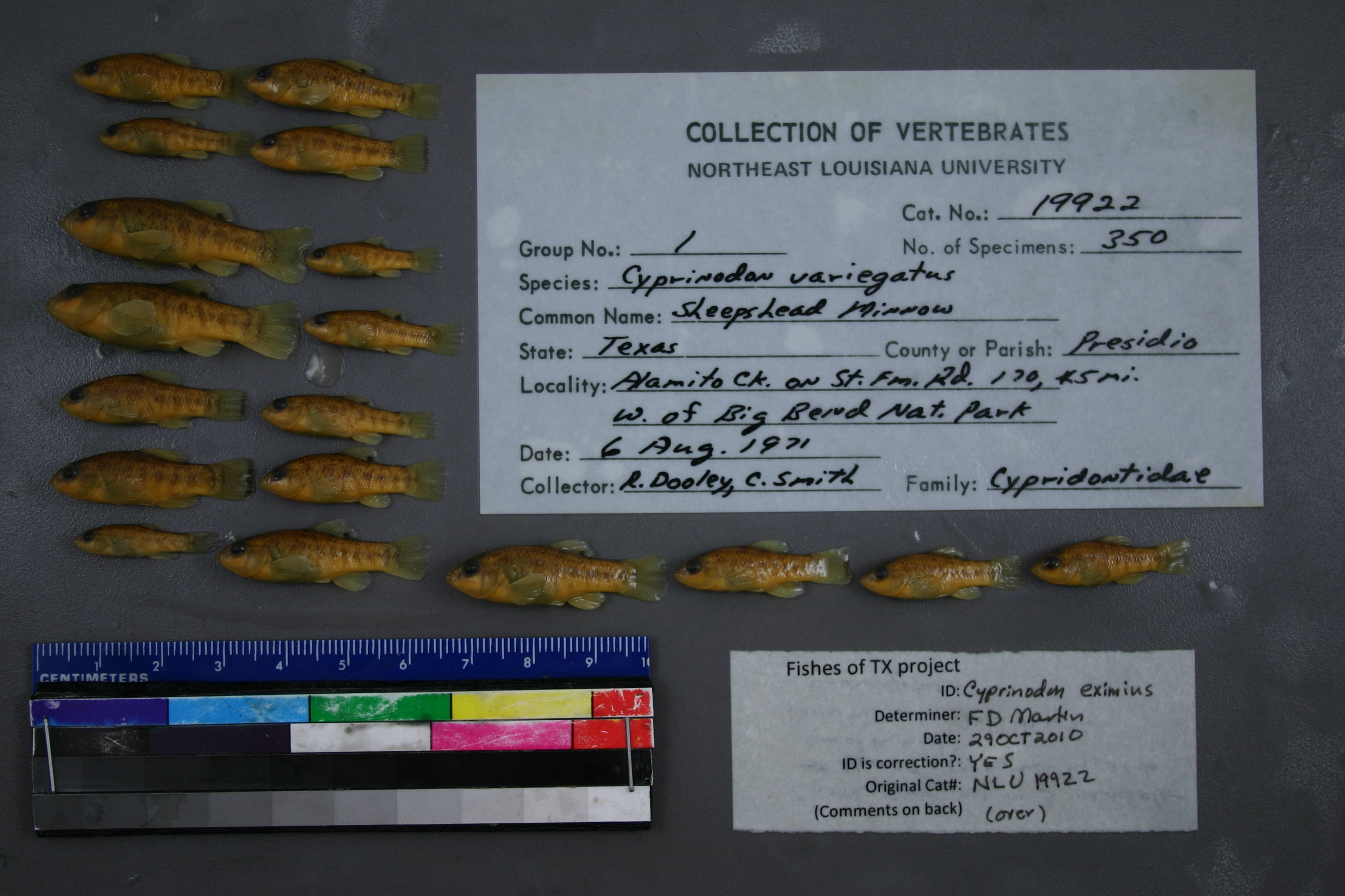
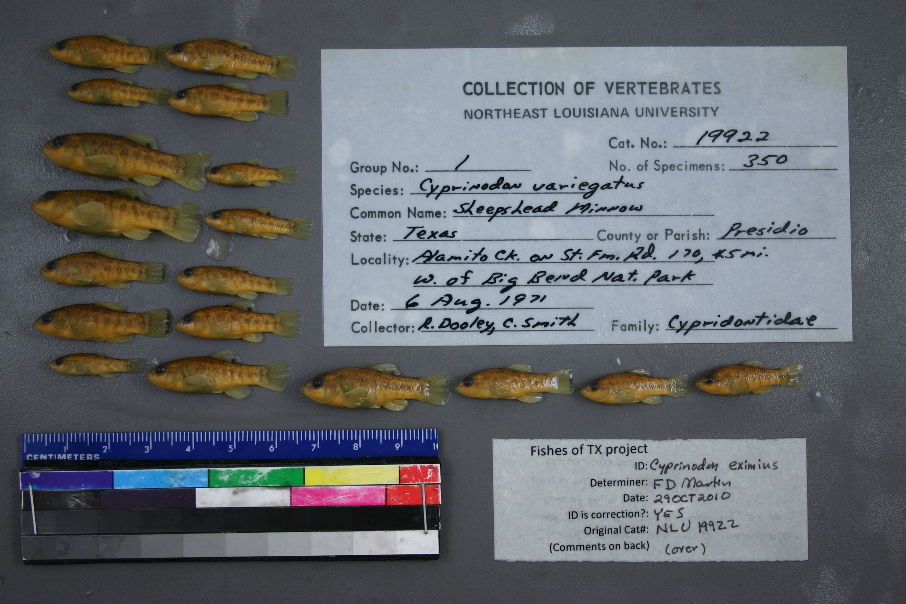
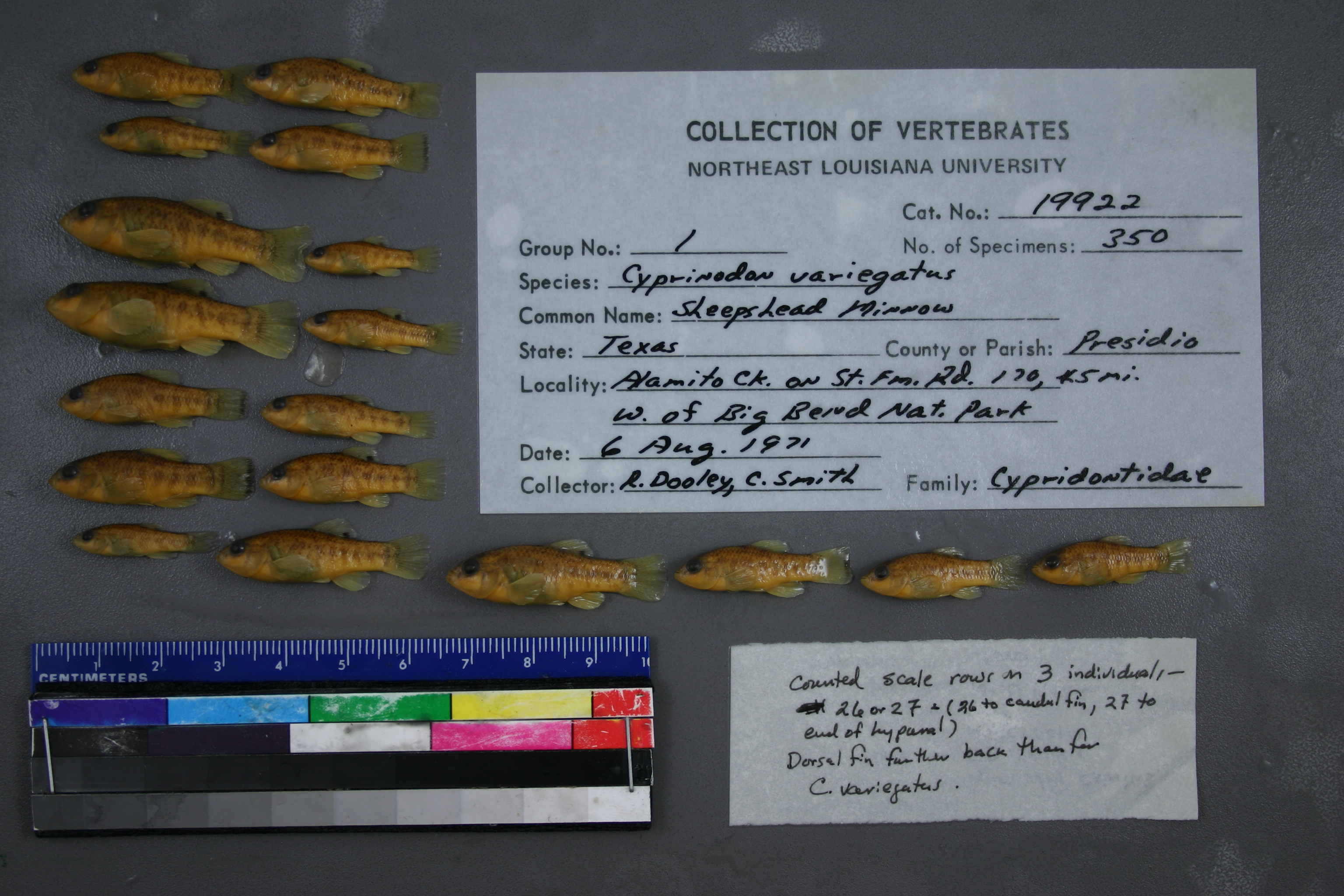
Conchos Pupfish –
Cyprinodon eximius
Photos
Map
Location
29.52262° N, 104.28964° W
(± 43.7
m)
Taxonomy
GenusCYPRINODON
SpeciesVARIEGATUS
Specimen
Num Specimens350
Collection Event
CollectorR DOOLEY C SMITH
Collected Date1971.8.6
Geography
DrainageRIO GRANDE RIVER
CountryUnited States
StateTexas
CountyPresidio
LocalityWATERBODYALAMITO CREEK,ON ST FM RD 170, 45 MI W OF BIG BEND NATIONAL PARK
Record Source
Source
University of Louisiana at Monroe
(type: miscellaneous)
Institution
University of Louisiana at Monroe
(type: university)
Also reported by
- TNHCi_71617 (Texas Natural History Collections)
Curator
Unknown
Record Added
May 13, 2010
Record Last Modified
June 22, 2022
Data Processing Track
Track 1
From Data Set Received
11/1997 to 05/2006
Identification
Suspect Notes
None
Count
350
Current Determination
Determiner
Floyd Douglas Martin
Determination Date
Oct. 29, 2010
Determination Type
specimen examination
Identification Comments
ID complete | counted scale rows on 3 individuals - 26 or 37 (26 to caudal fin, 27 to end of hypural); dorsal fin further back than for C. variegatus
Identification Confidence
High
Collecting Event
Collected
Aug. 6, 1971
Collecting Event ID
5993
Field Notes
There are no field notes available.
Locality
Region
Trans Pecos
Jurisdiction
Presidio, Texas
Name
Alamito Creek at SH170
Hydrography
USGS HUC
Rio Grande Region
Rio Grande-Amistad
Rio Grande-Amistad
Alamito
Alamito Creek-Rio Grande
Aranoso Draw-Alamito Creek
HydroBASINS
7521
752177
75217790
7521779003
752177900300
Captive
no
Locality Photos
No locality photos available.
flag (suspect/examine)
suspect: noexamination: no
date
date_range: 8/6/1971-8/6/1971
collectors
collectors: Dooley, R. Smith, C.
collectors
collectors: R. Dooley, C. Smith
date
date_range: 8/6/1971-8/6/1971
staff comment
ID Status: Specimen examined and ID'ed for FoTX project
ID Comments: counted scale rows on 3 individuals - 26 or 37 (26 to caudal fin, 27 to end of hypural); dorsal fin further back than for C. variegatus
ID Confidence: high
georeference
Error: 43.665Locality: Alamito Creek at SH170Coordinates: 29.522617582;-104.289641515Georeferencer: BJLGeographic note: Inland USA Texas
Comments On NLU_19922