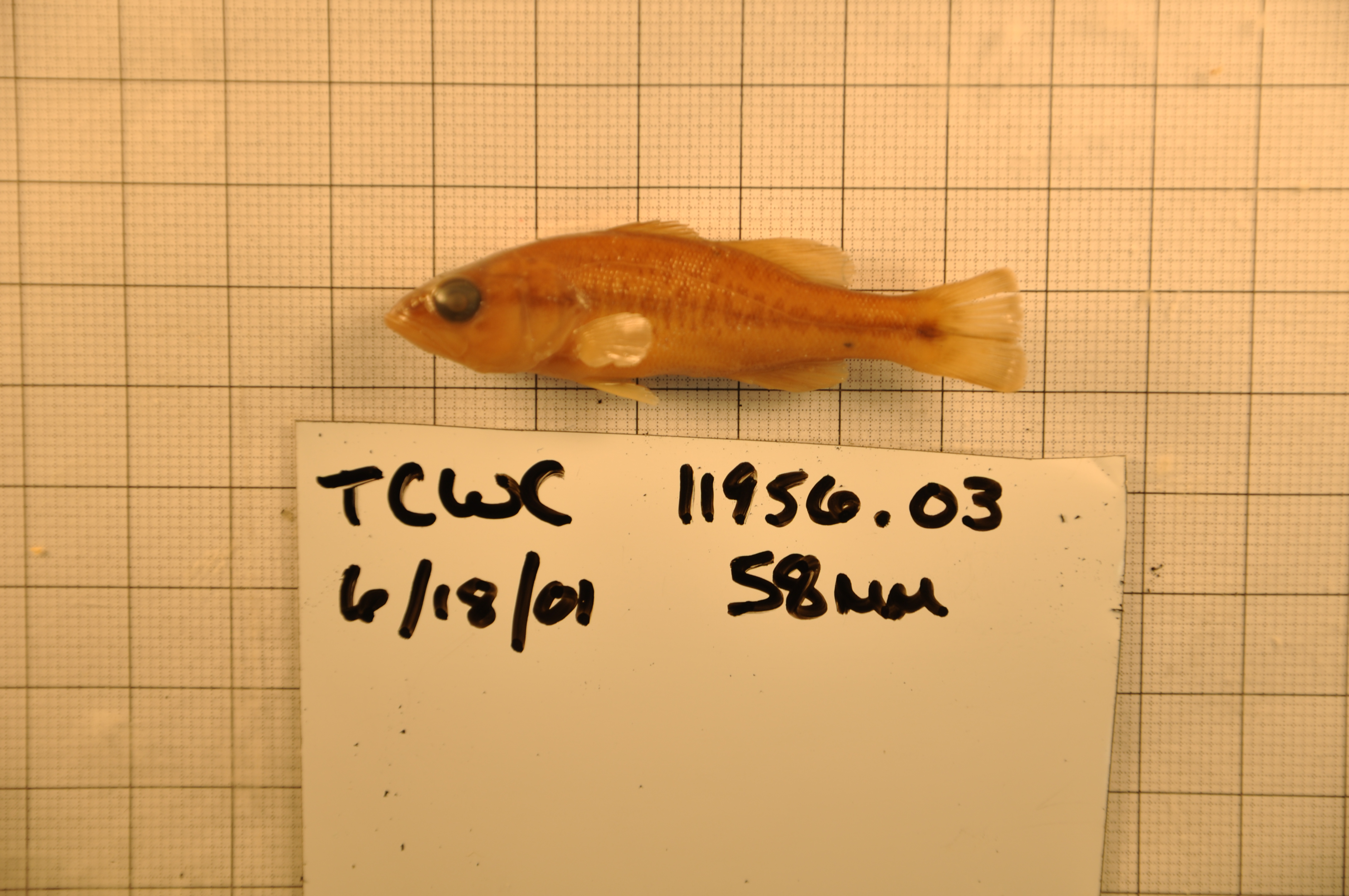
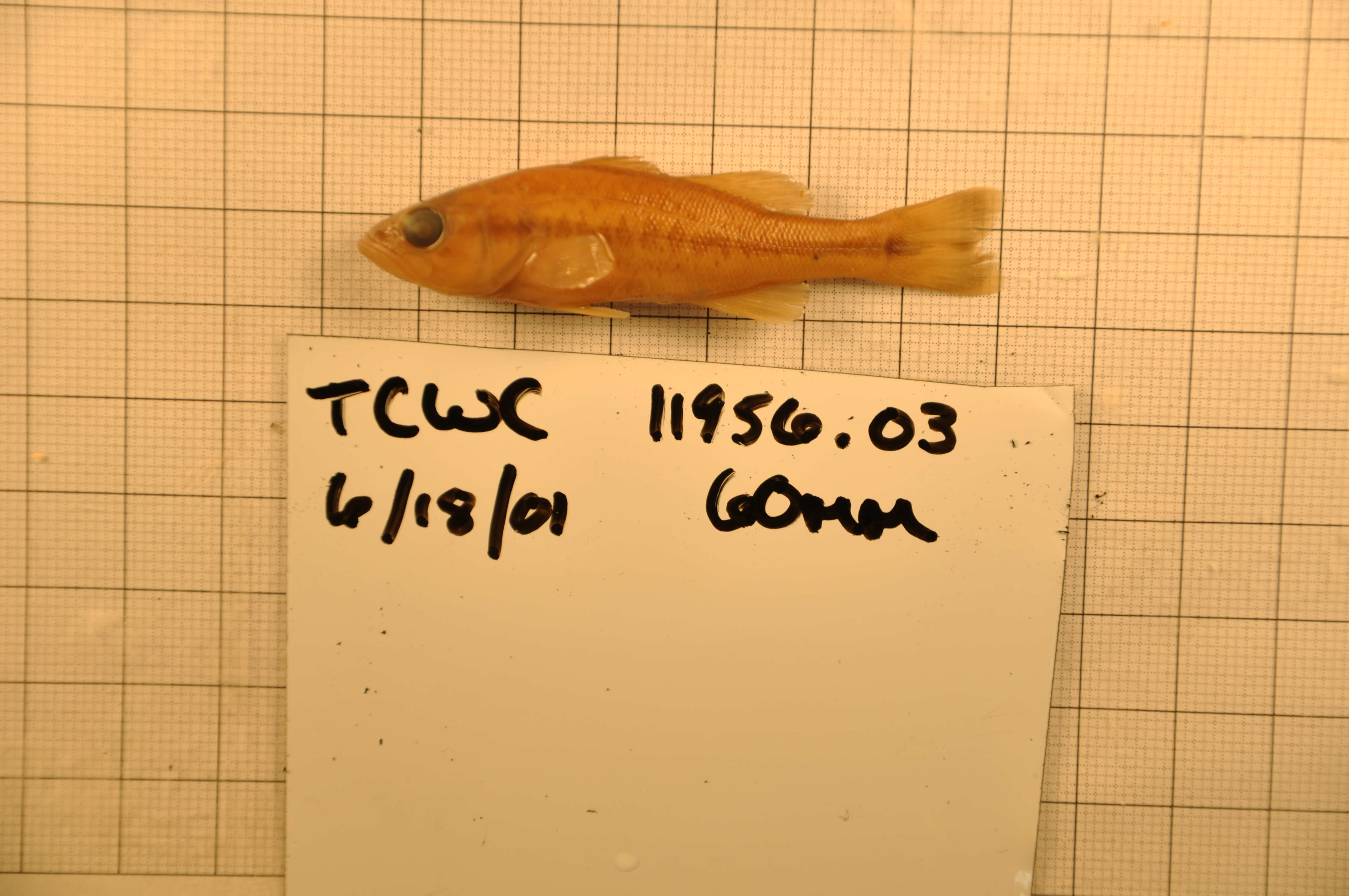
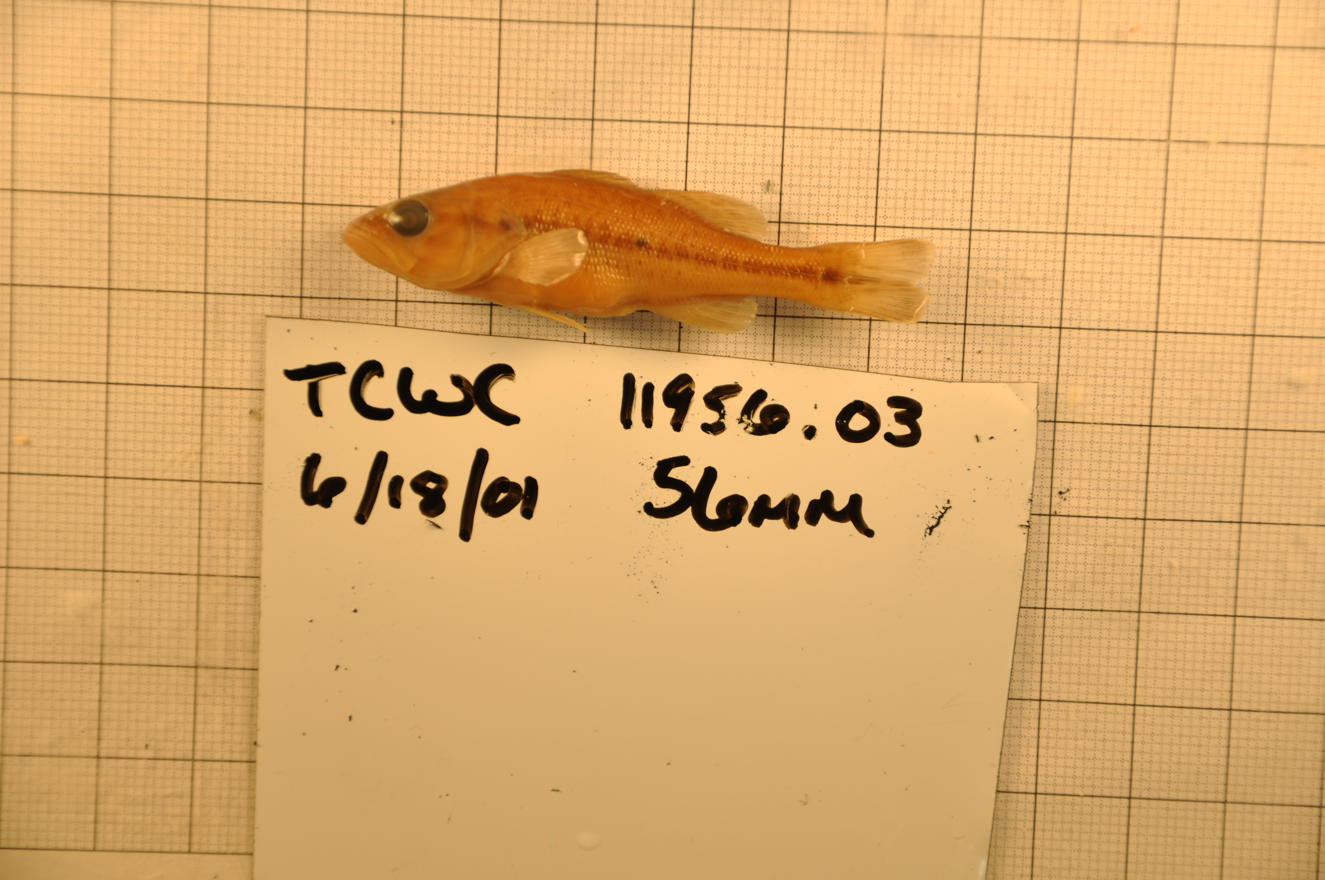
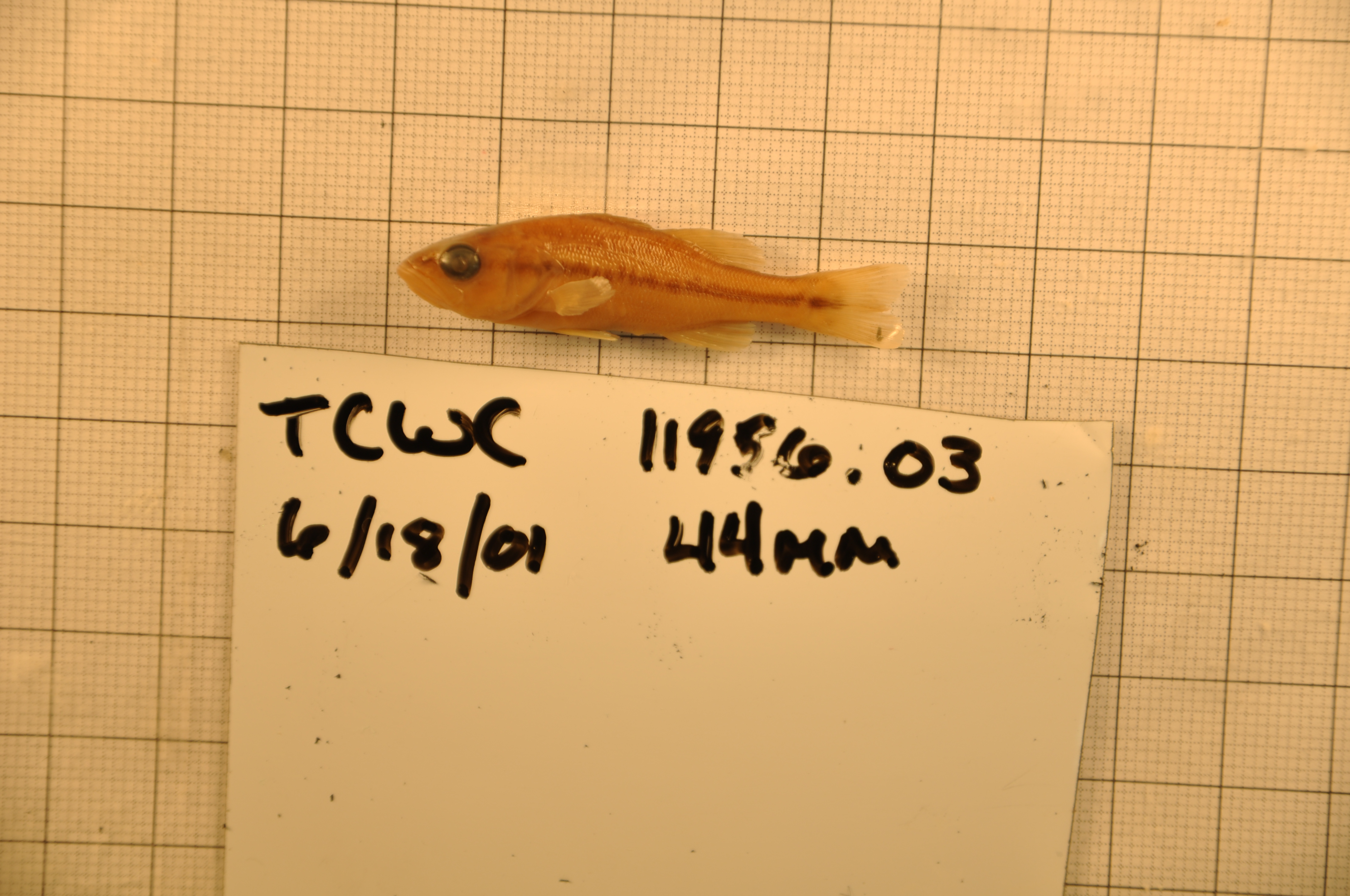
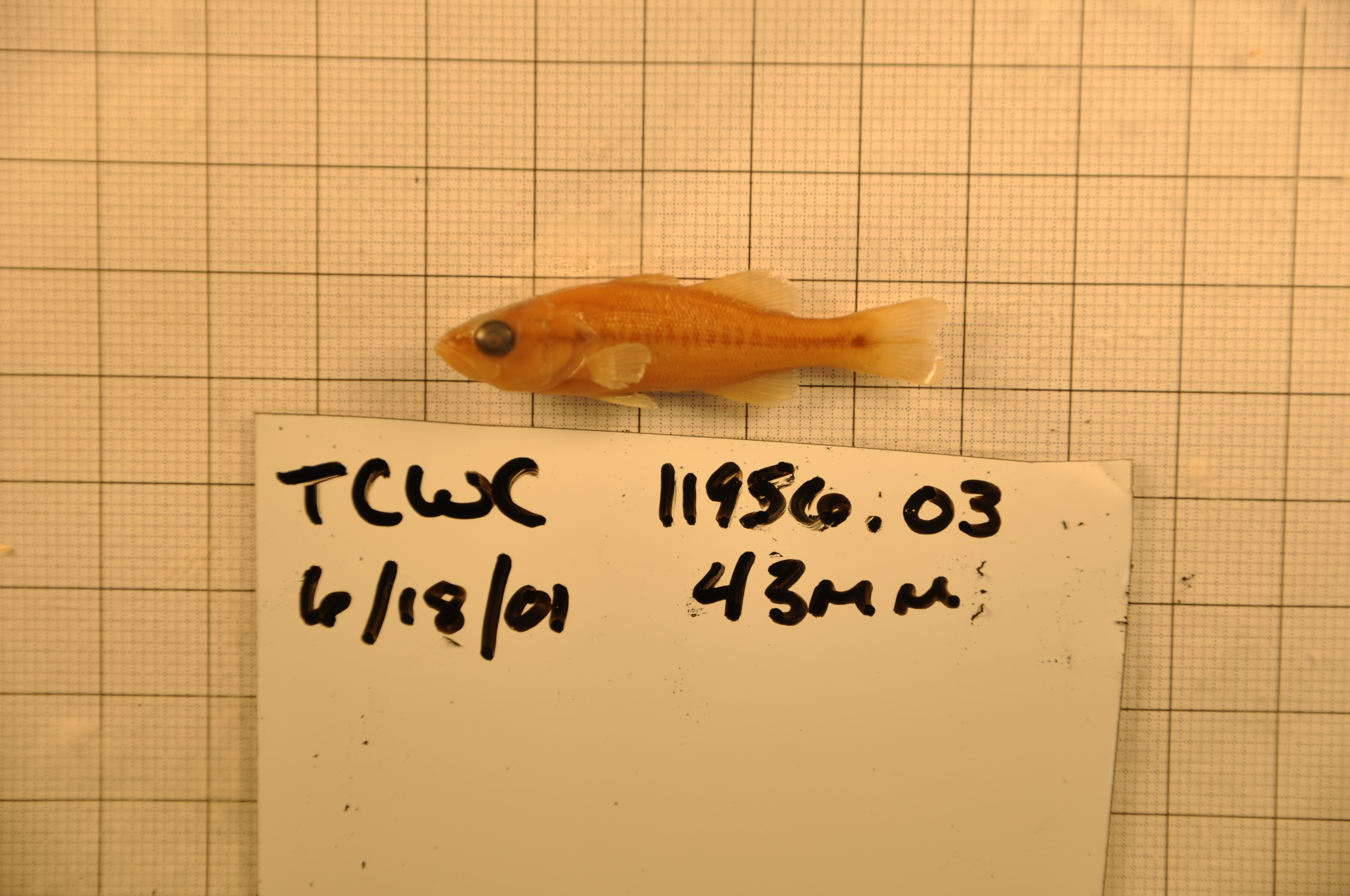
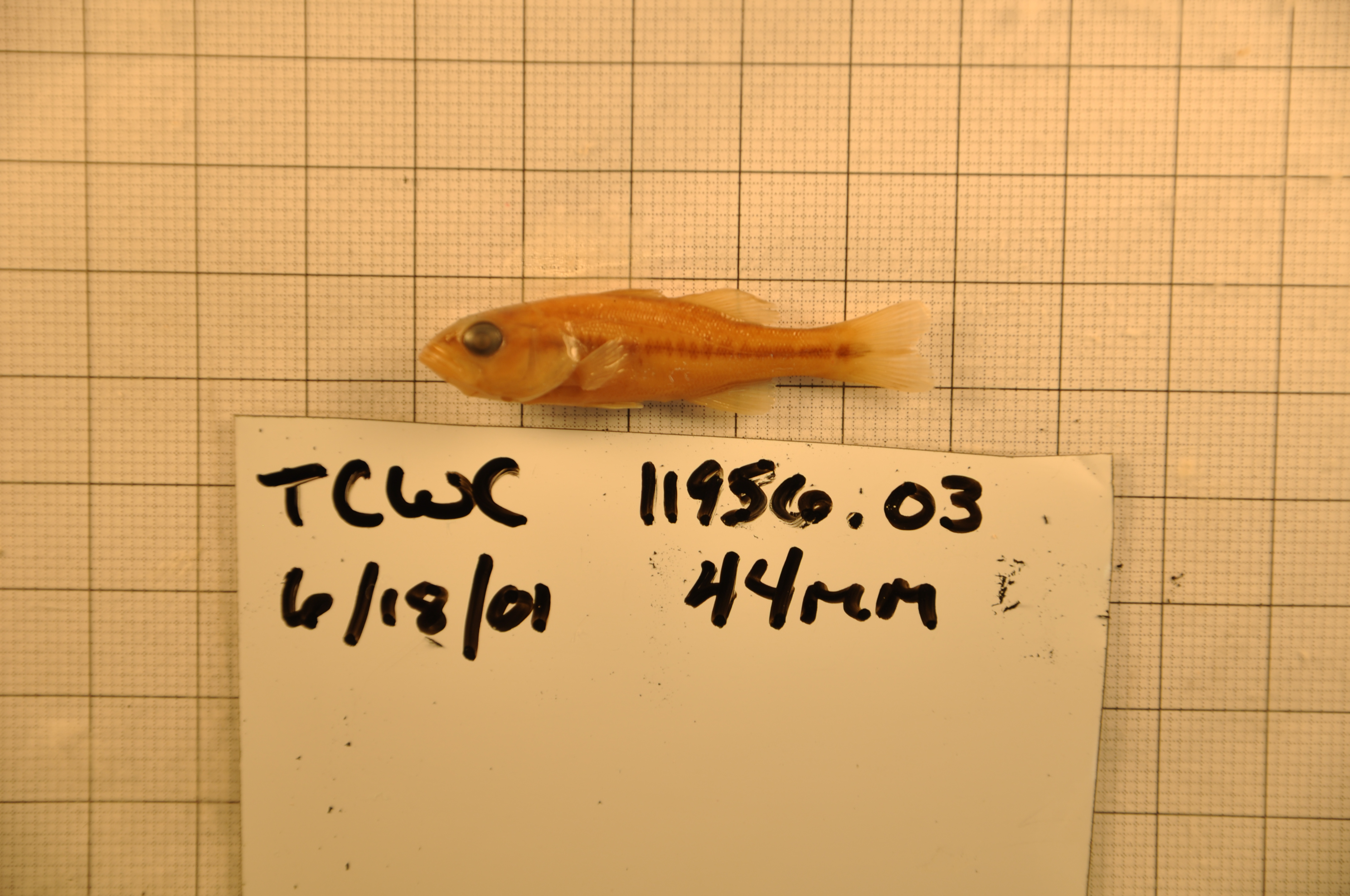
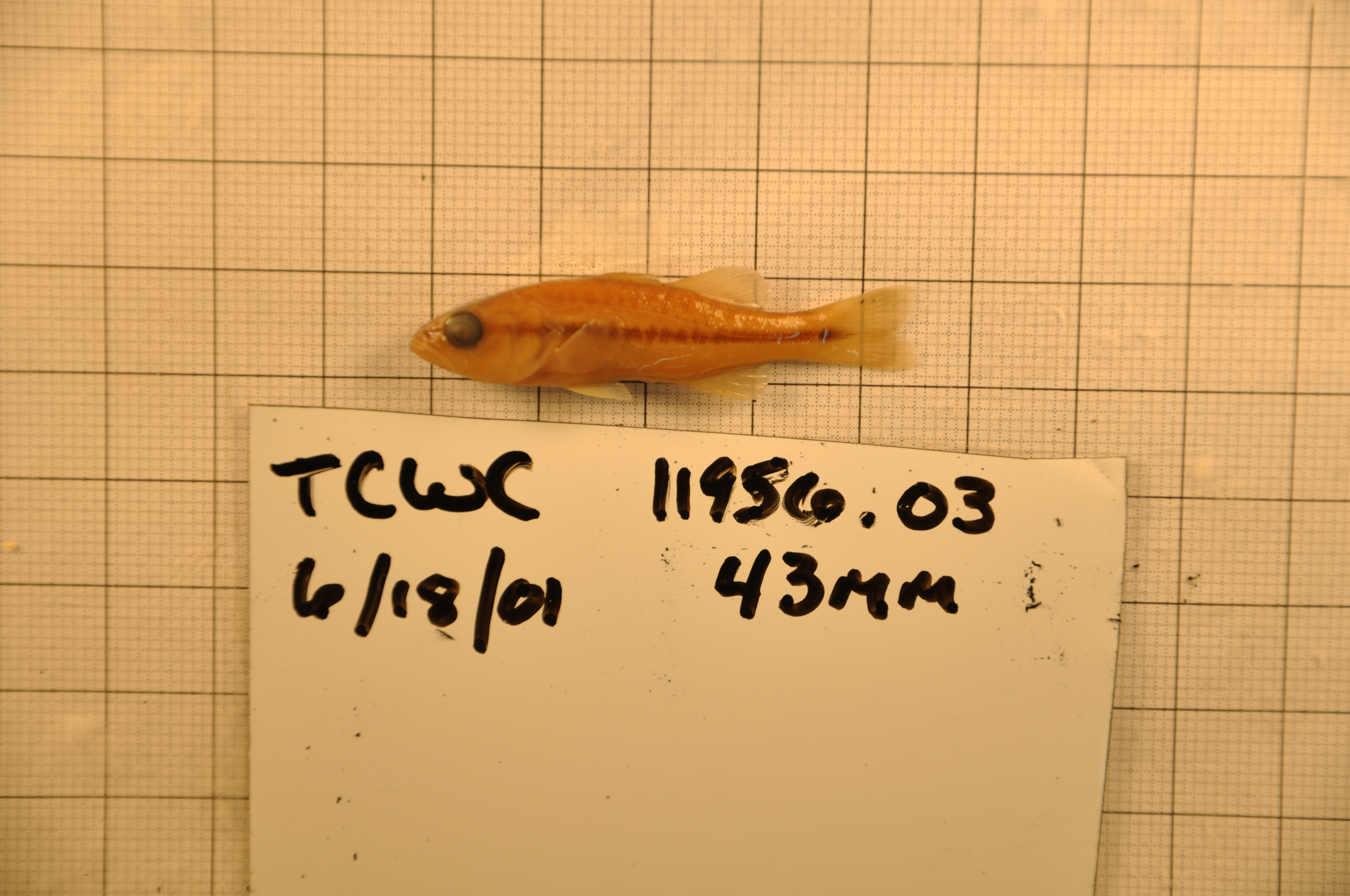
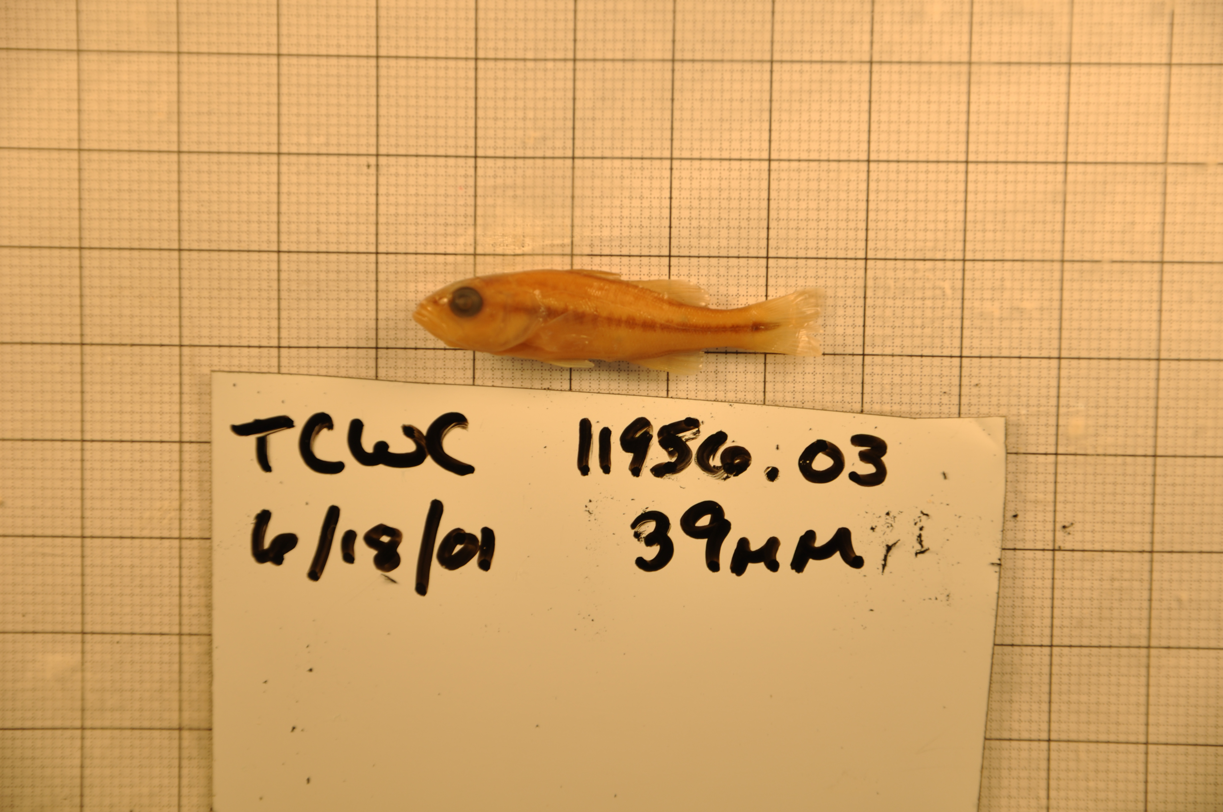
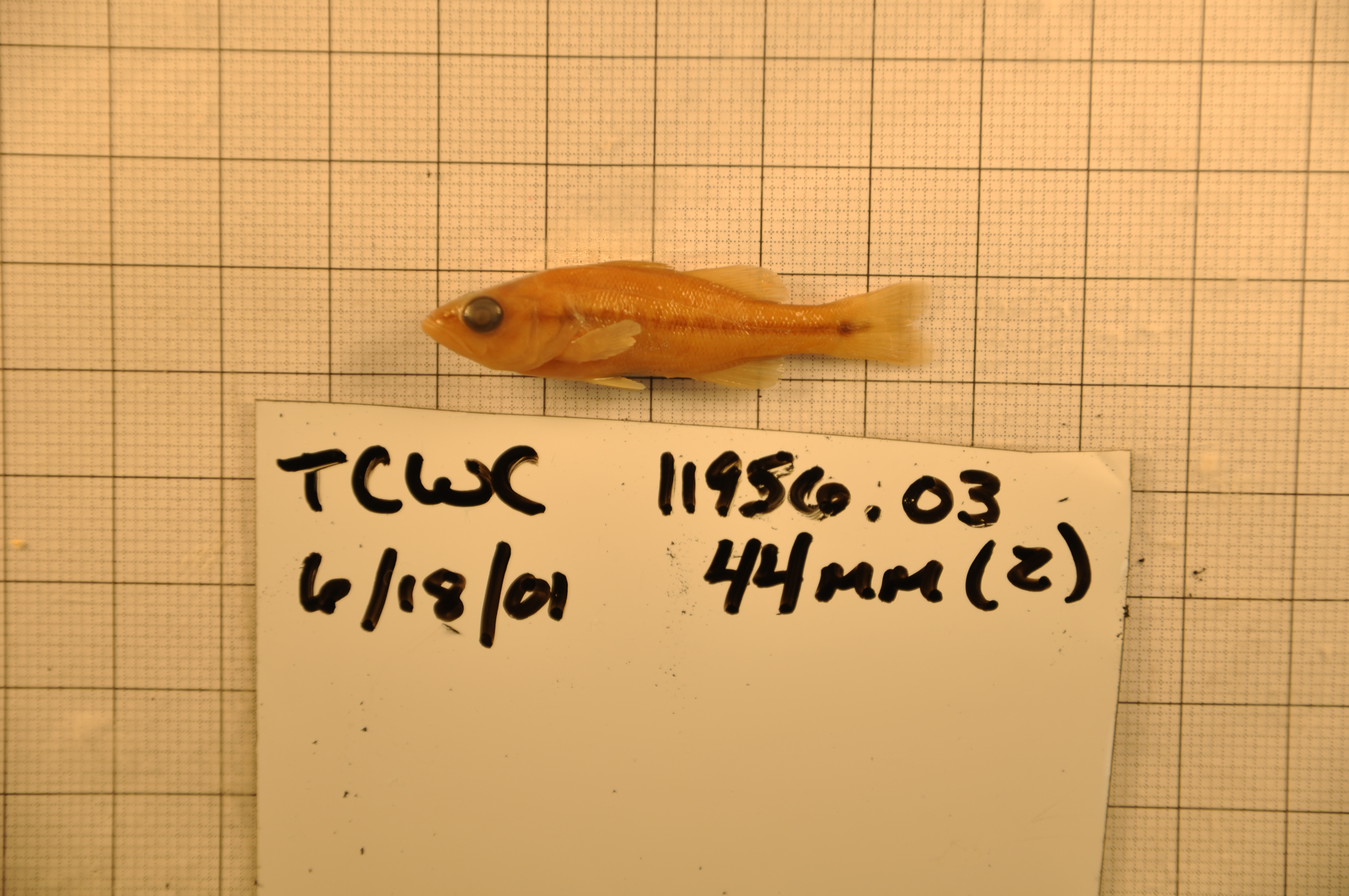
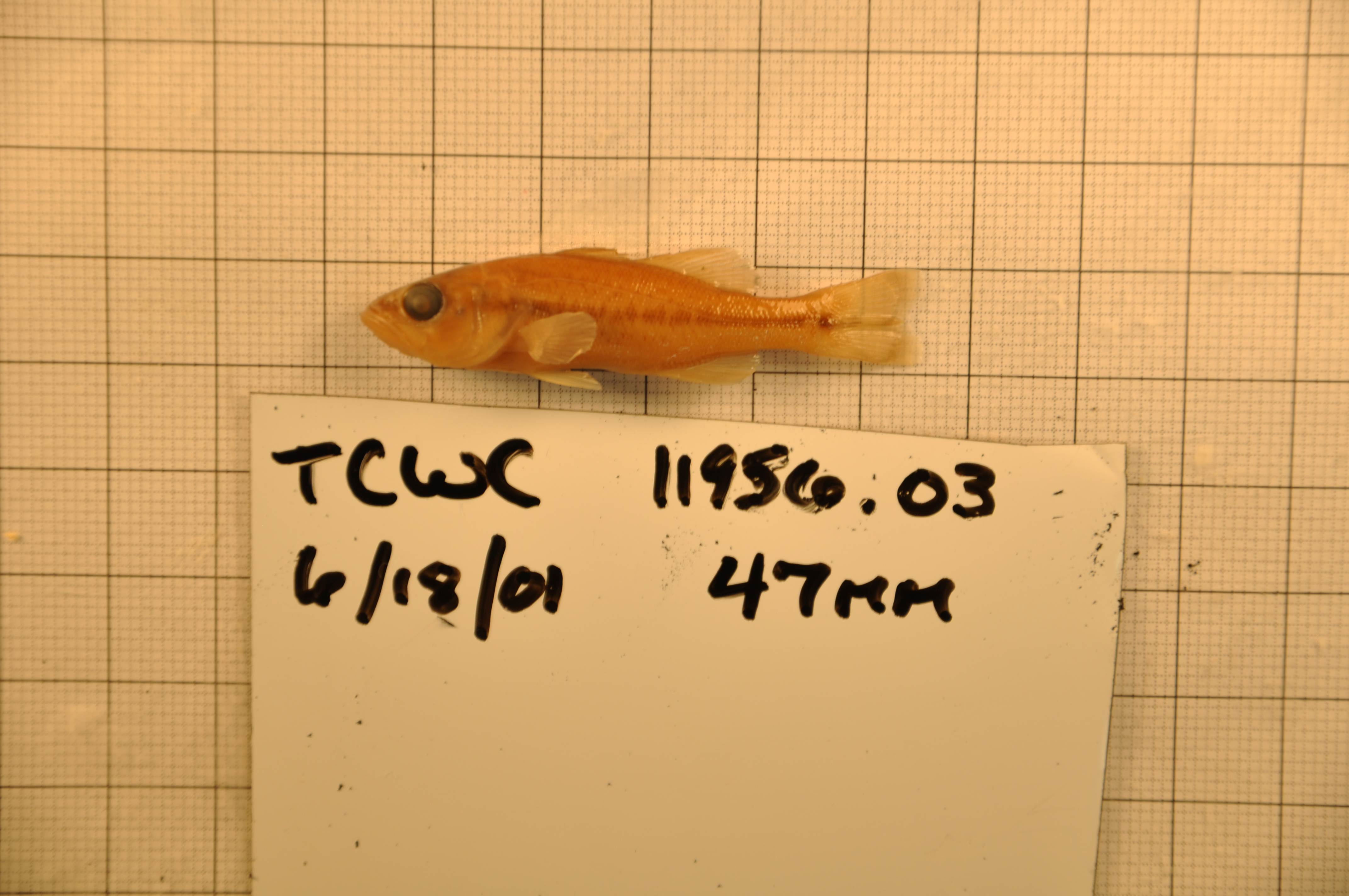
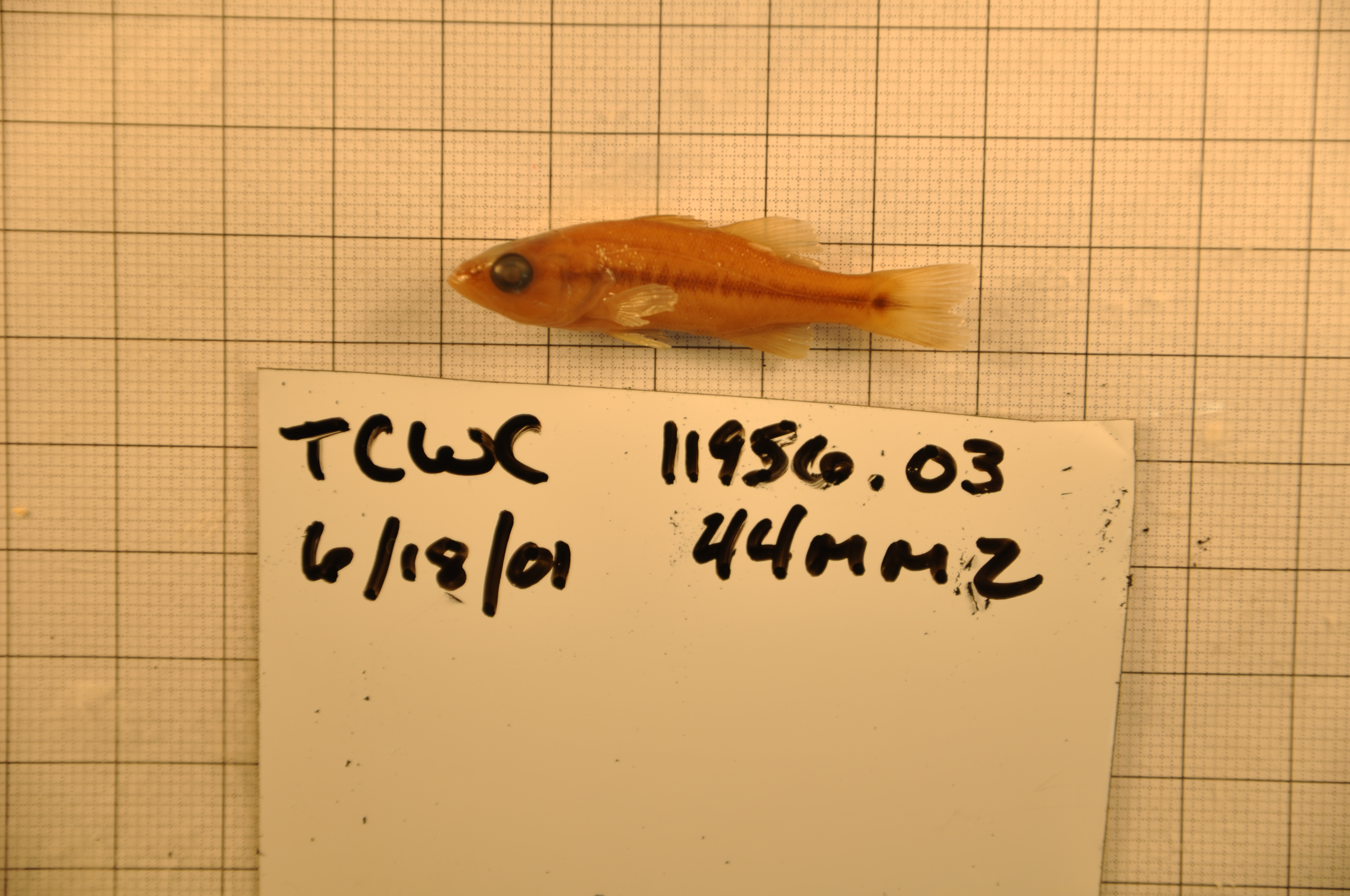
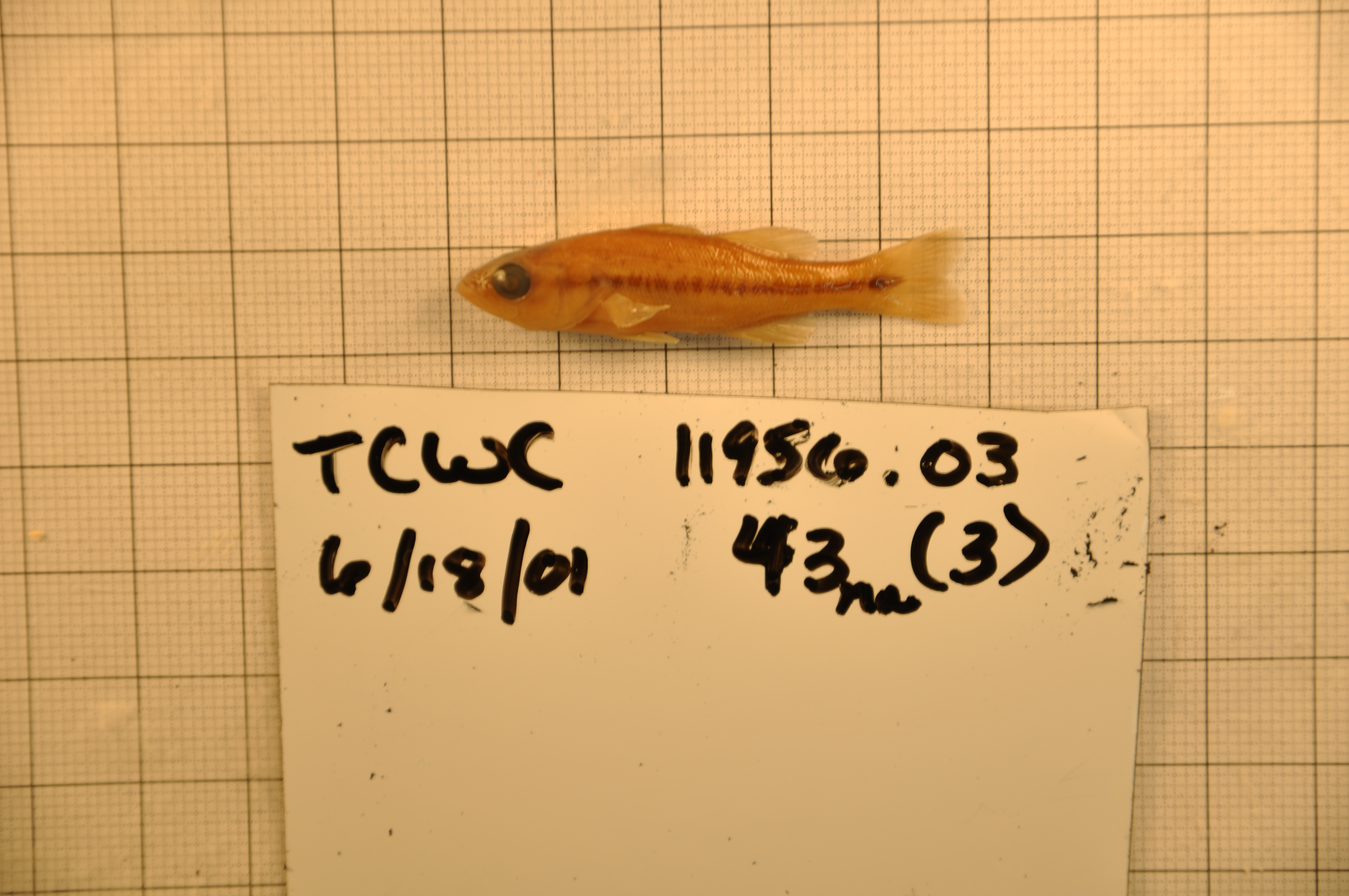
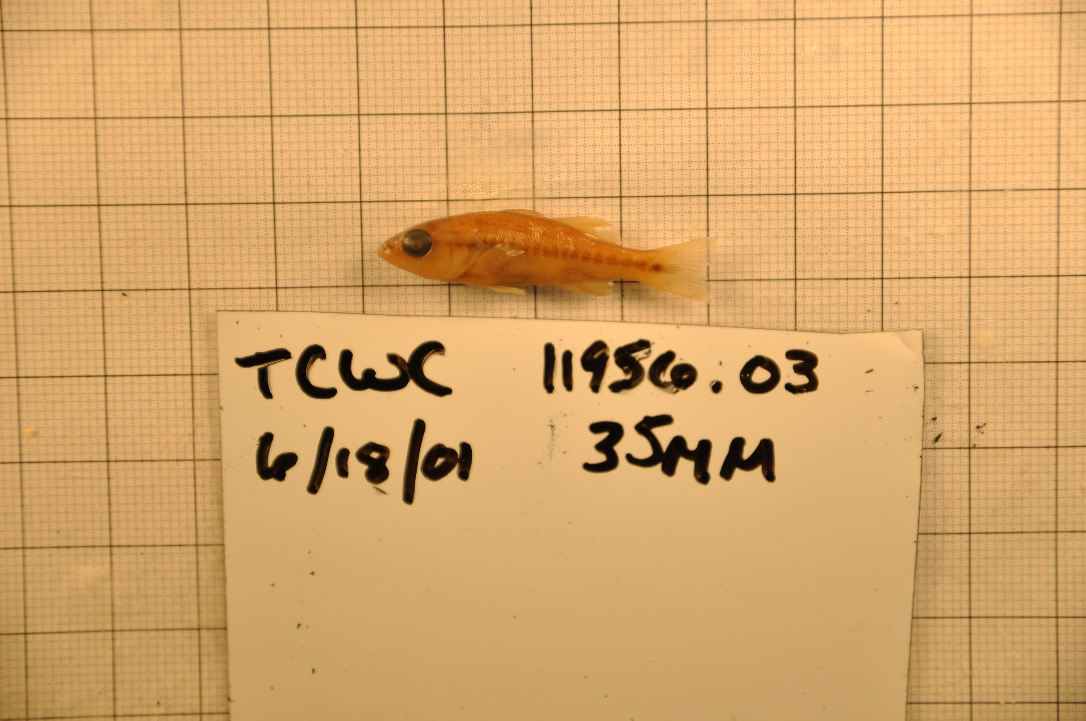
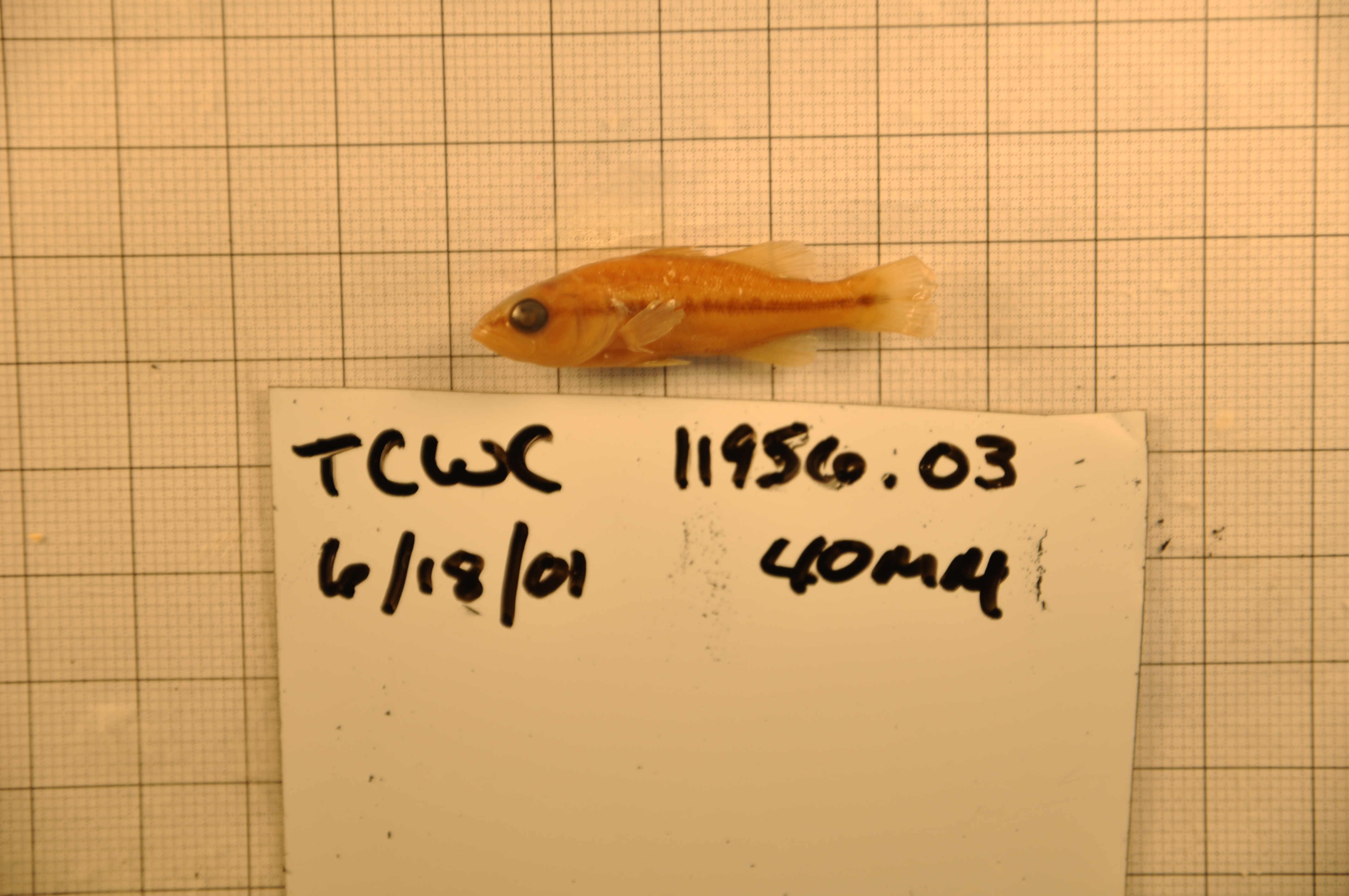
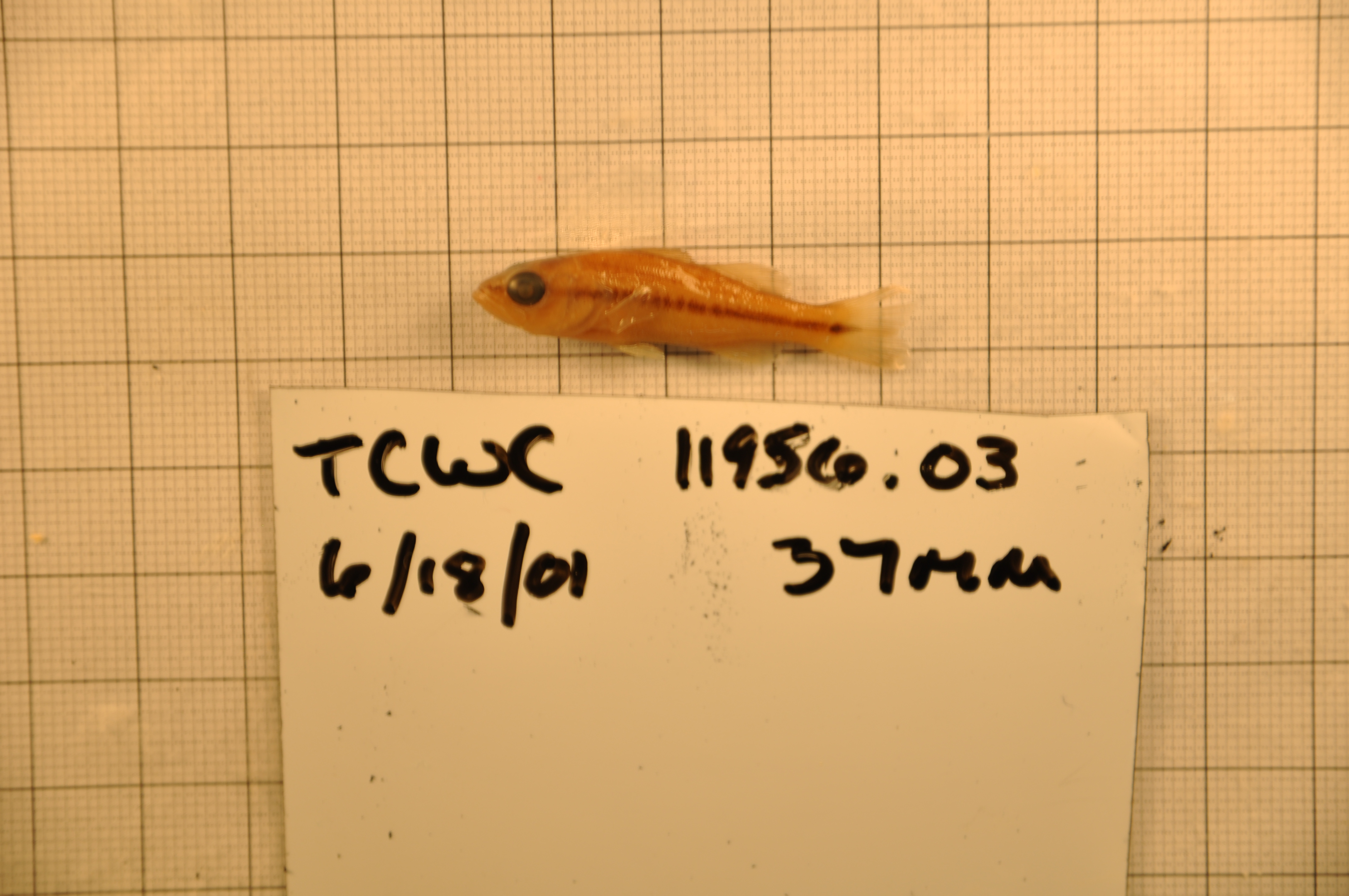
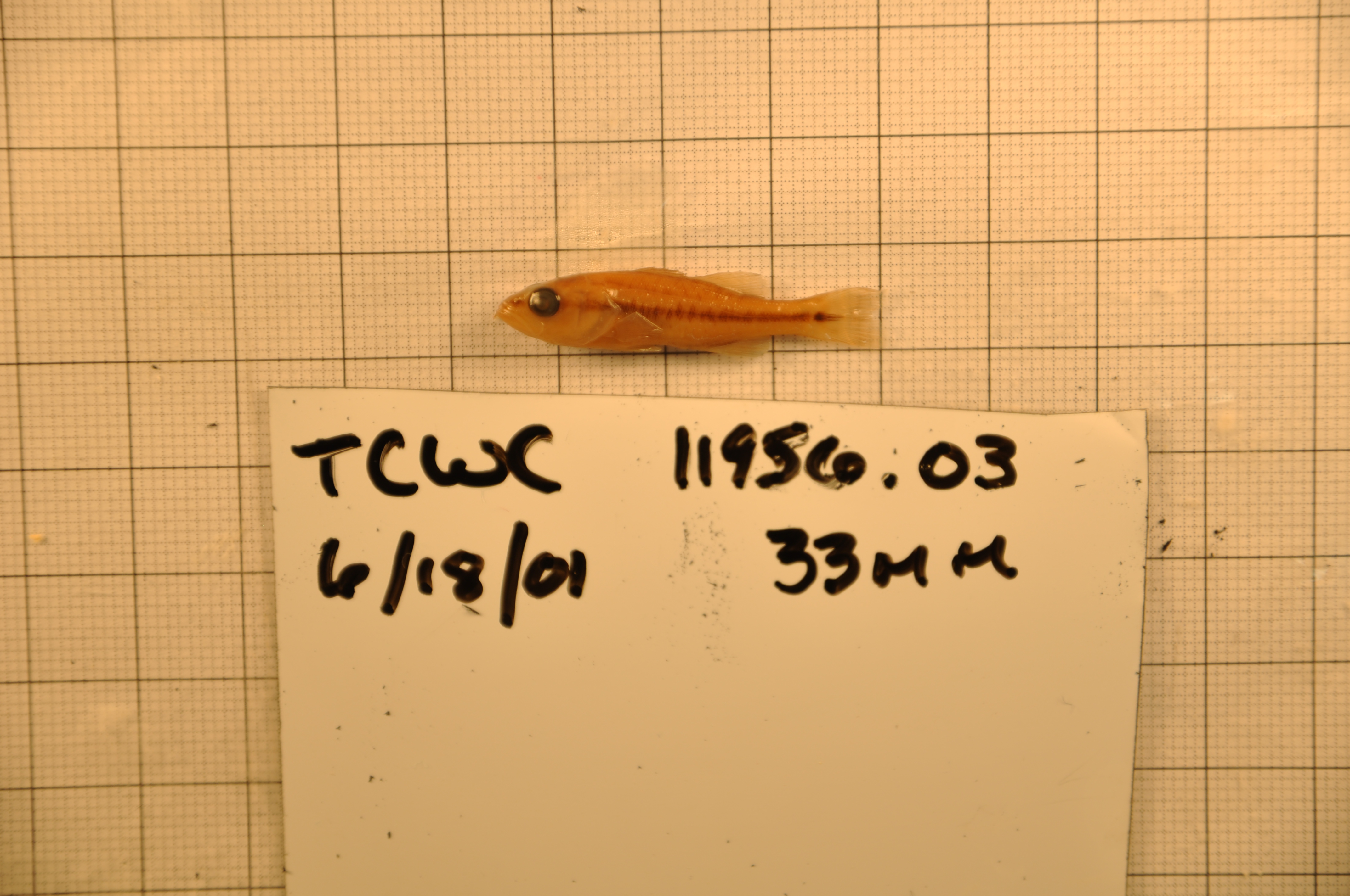
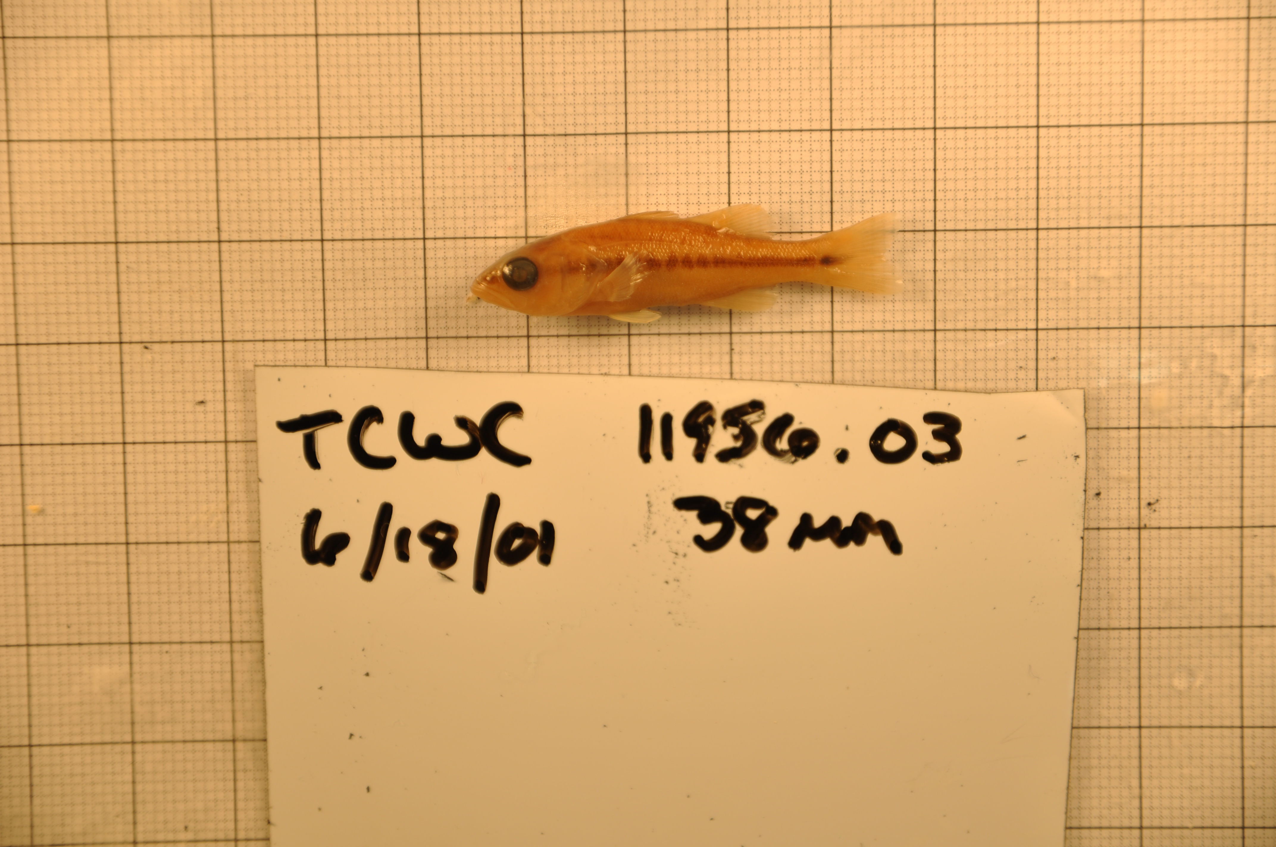
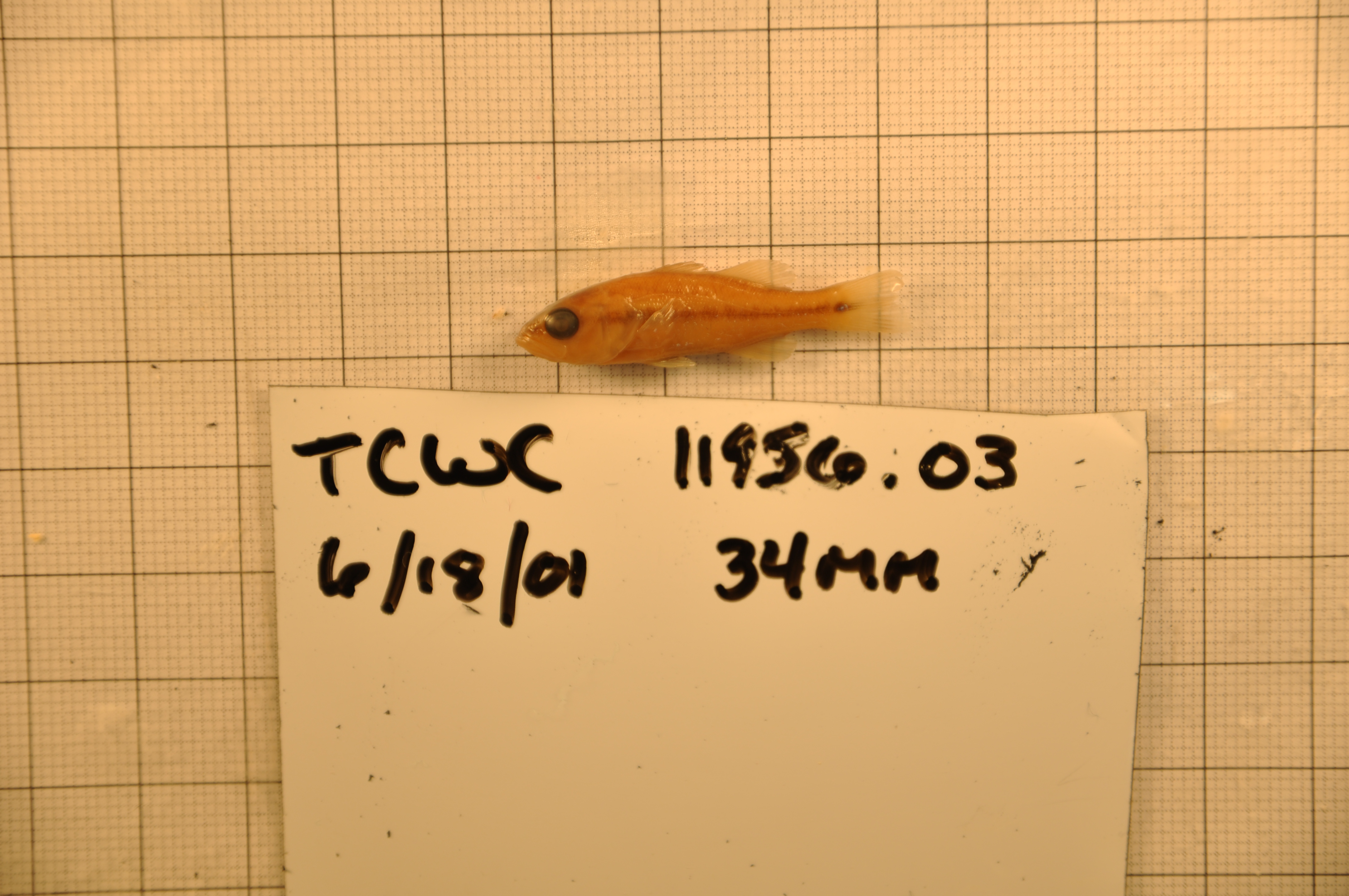
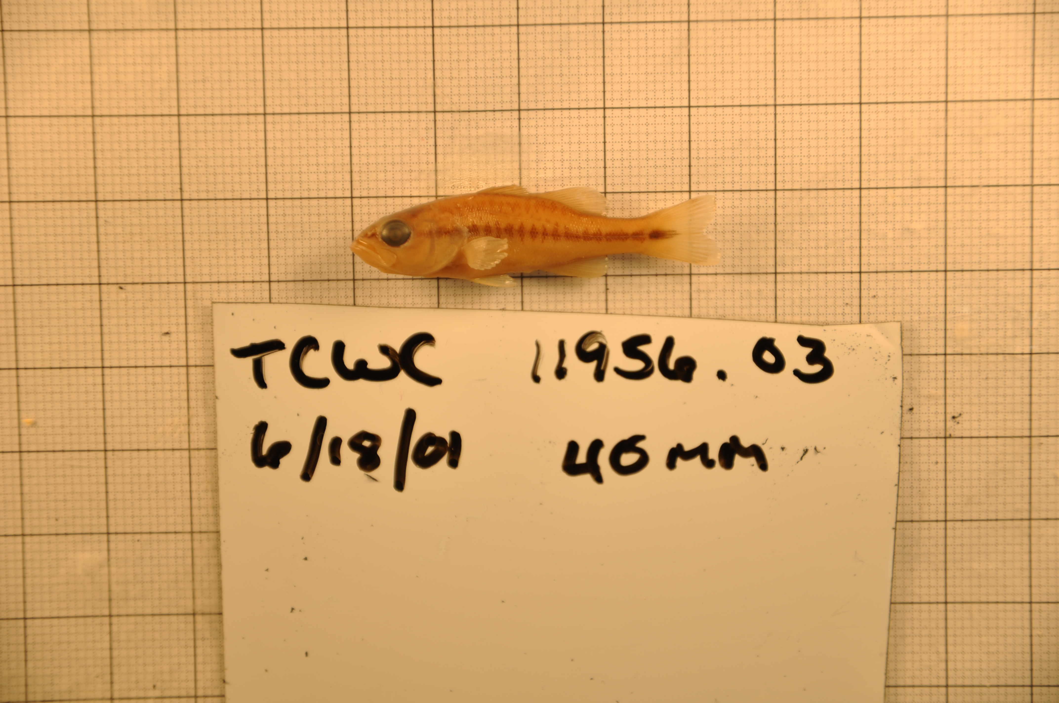
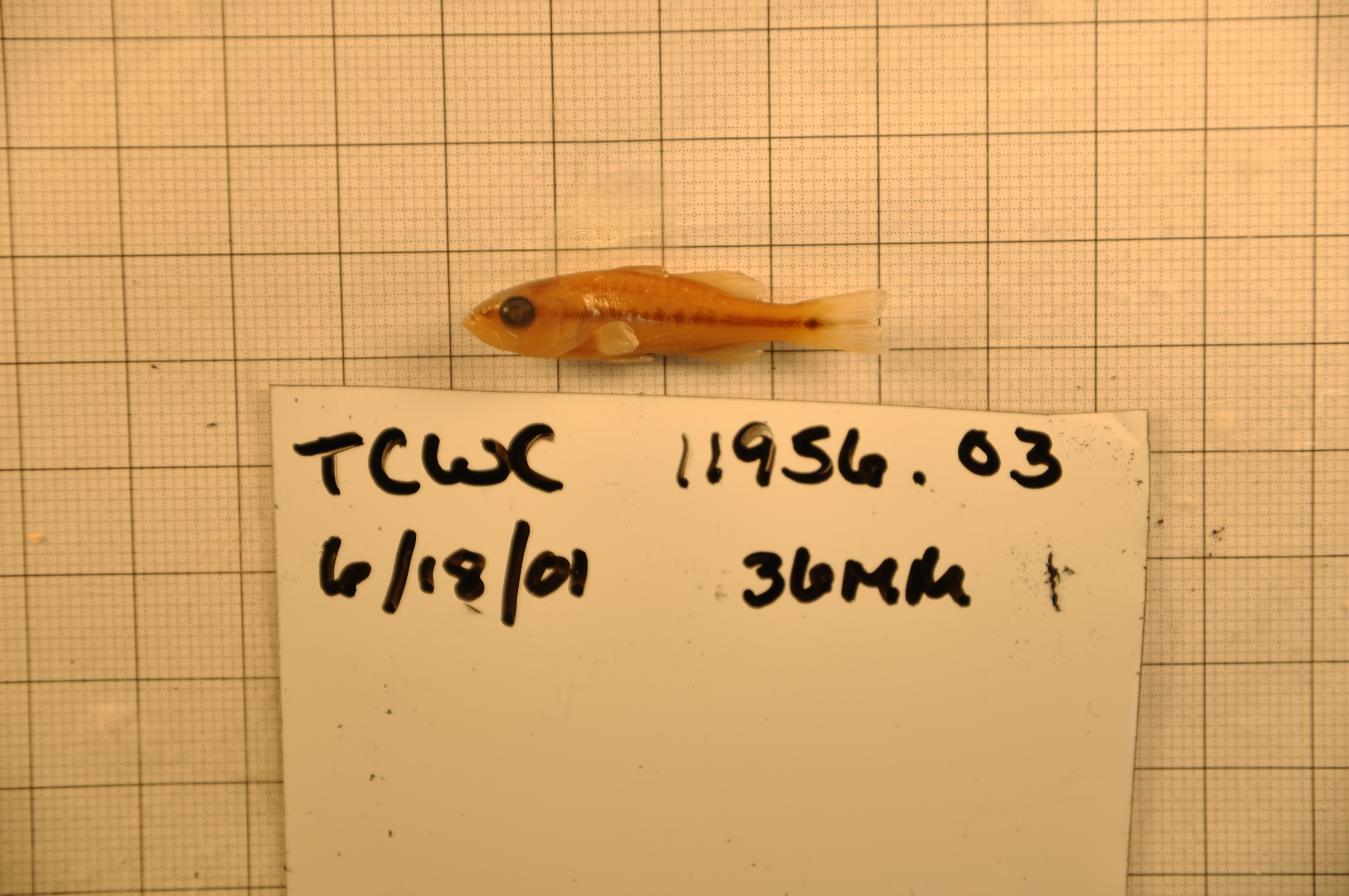
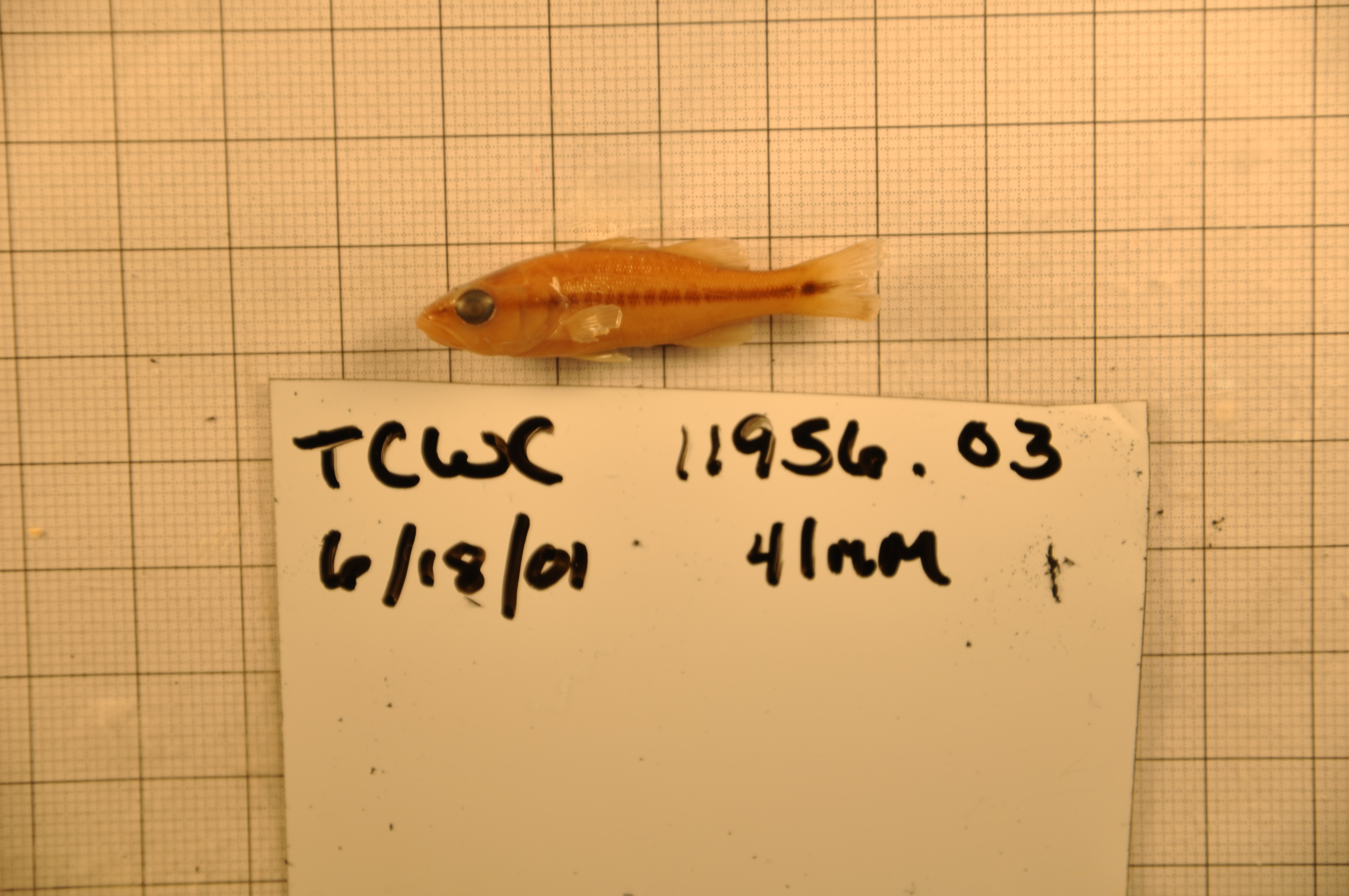
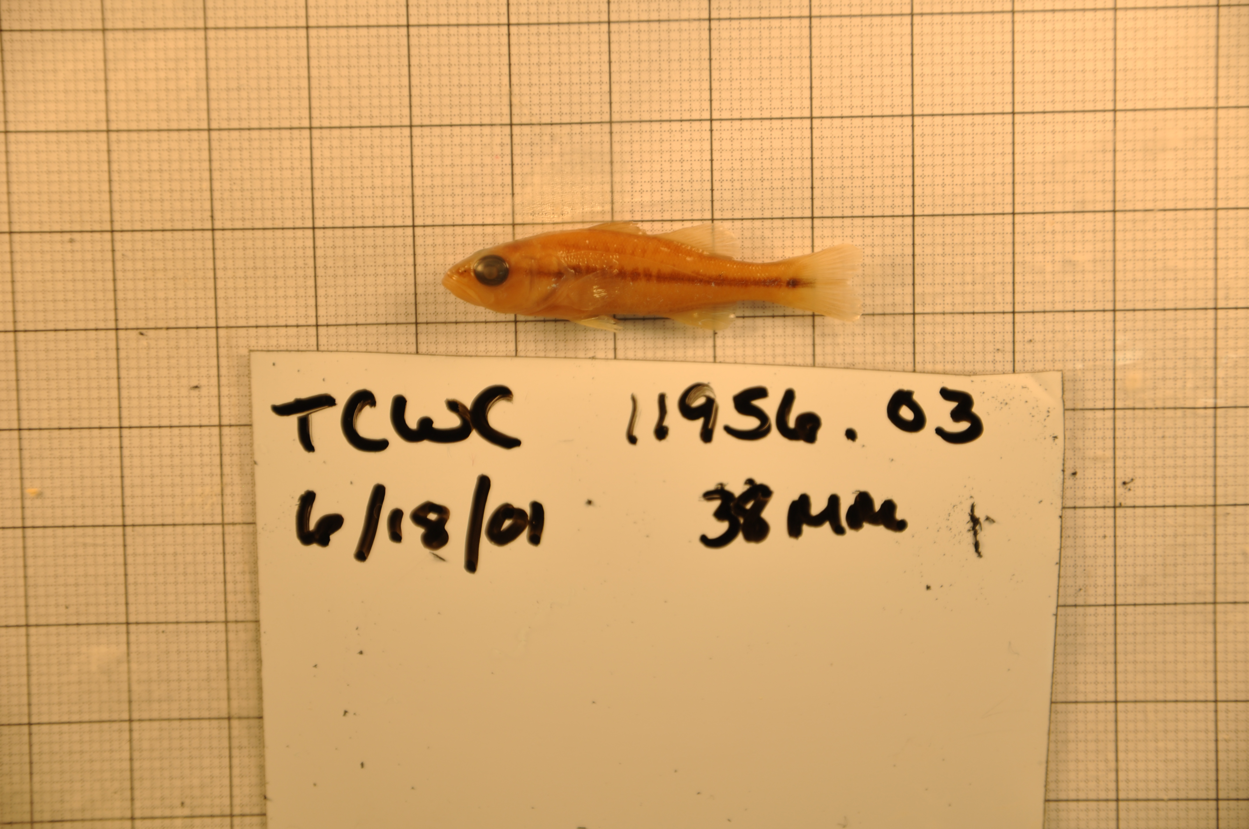
TCWC_11956.03
Not suspect, not examinedPhotos
Map
Location
31.23478° N, 100.50000° W
(± 43.7
m)
Taxonomy
GenusMicropterus
Speciestreculii
Specimen
Num Specimens23
Identification
DeterminerWinemiller, K./2001
Collection Event
CollectorWinemiller Lab
Collected Date2001.6.18
Geography
CountryUnited States
StateTexas
CountyTom Green
LocalityConcho River; South Concho- south of San Angelo on HWY 2335
Record Source
Source
Texas Cooperative Wildlife Collections
(type: specimens)
Institution
Texas Cooperative Wildlife Collections
(type: museum)
Curator
Kevin W. Conway
Record Added
May 13, 2010
Record Last Modified
July 27, 2022
Data Processing Track
Track 2
From Data Set Received
04/2009 to 10/2010
Identification
Suspect Notes
None
Count
23
Current Determination
Determiner
Fishes of Texas staff
Determination Date
Unknown
Determination Type
Unspecified
Identification Comments
None
Identification Confidence
Unknown
Collecting Event
Collected
June 18, 2001
Collector(s)
Collecting Event ID
3701
Field Notes
There are no field notes available.
Locality
Region
Rolling Plains
Jurisdiction
Tom Green, Texas
Name
South Concho River at SH2335 S of San Angelo
Hydrography
Texas-Gulf Region
Lower Colorado-San Bernard Coastal
Middle Colorado-Concho
South Concho
Pecan Creek-South Concho River
Walnut Creek-South Concho River
Captive
no
Locality Photos
No locality photos available.
flag (suspect/examine)
suspect: noexamination: no
date
date_range: 6/18/2001-6/18/2001
collectors
collectors: Winemiller lab
collectors
collectors: Winemiller lab
date
date_range: 6/18/2001-6/18/2001
staff comment
ID Status: Not flagged for specimen examination. By default we accept donor specimen determinations (after synonymization to our taxonomy). If georeferenced to TX this record has been considered in spatial context with other occurences of this species and accepted as correct.
ID Comments: NAGeoref Remark: Extent covers just upstream and downstream of intersection
georeference
Error: 43.654Remarks: Extent covers just upstream and downstream of intersectionLocality: South Concho River at SH2335 S of San AngeloCoordinates: 31.234781873;-100.500002579Georeferencer: BJLGeographic note: Inland USA Texas
Extent covers just upstream and downstream of intersection
Comments On TCWC_11956.03