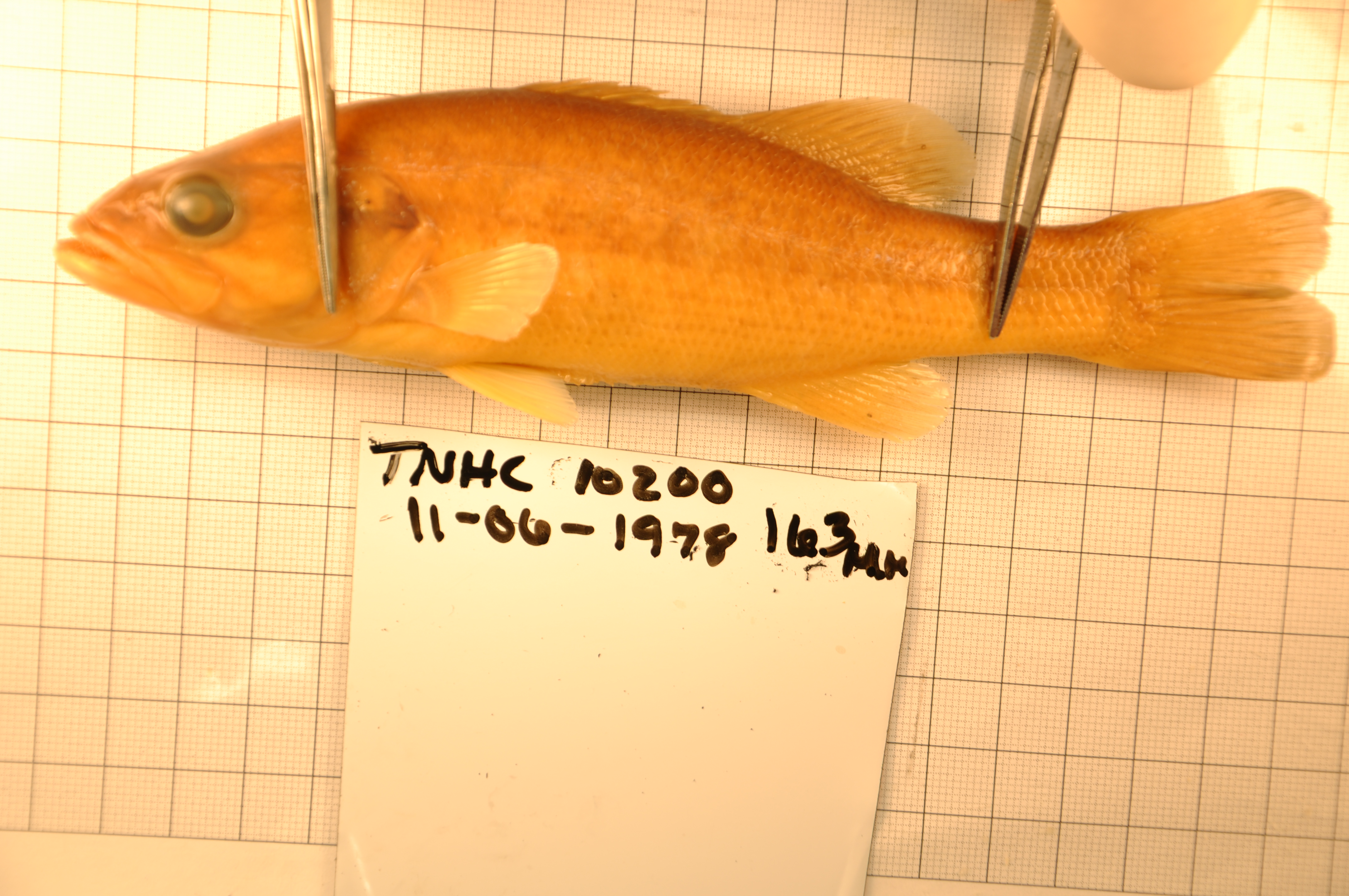
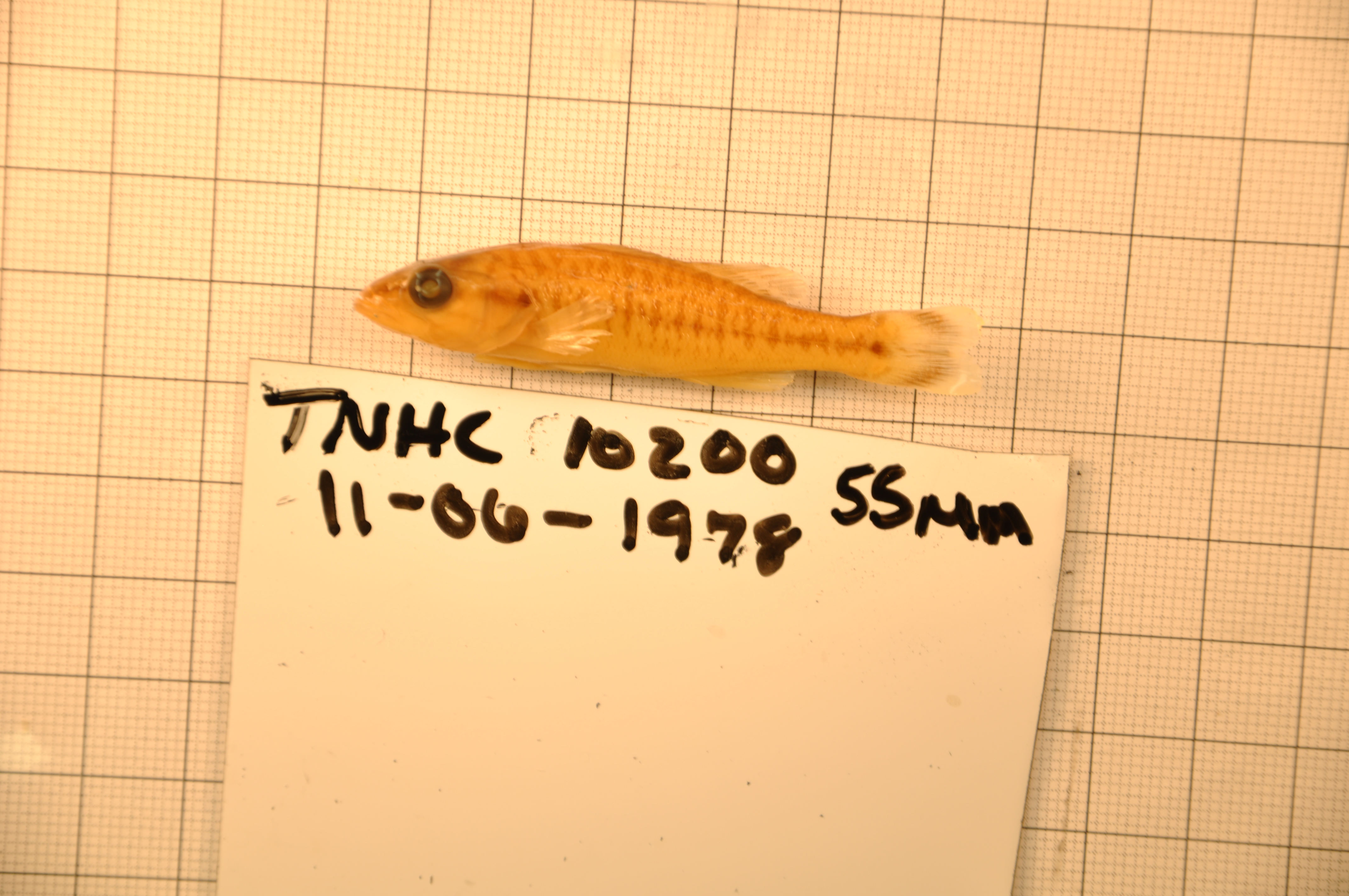
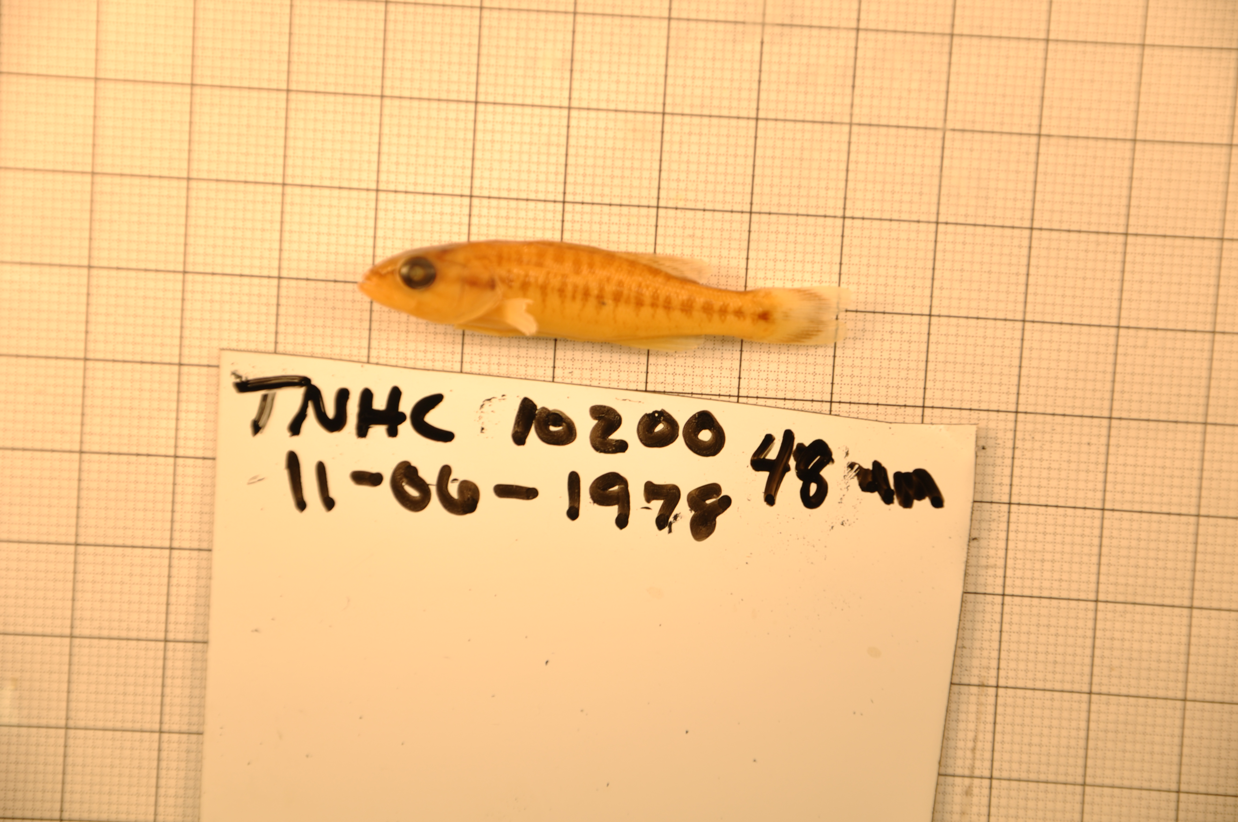
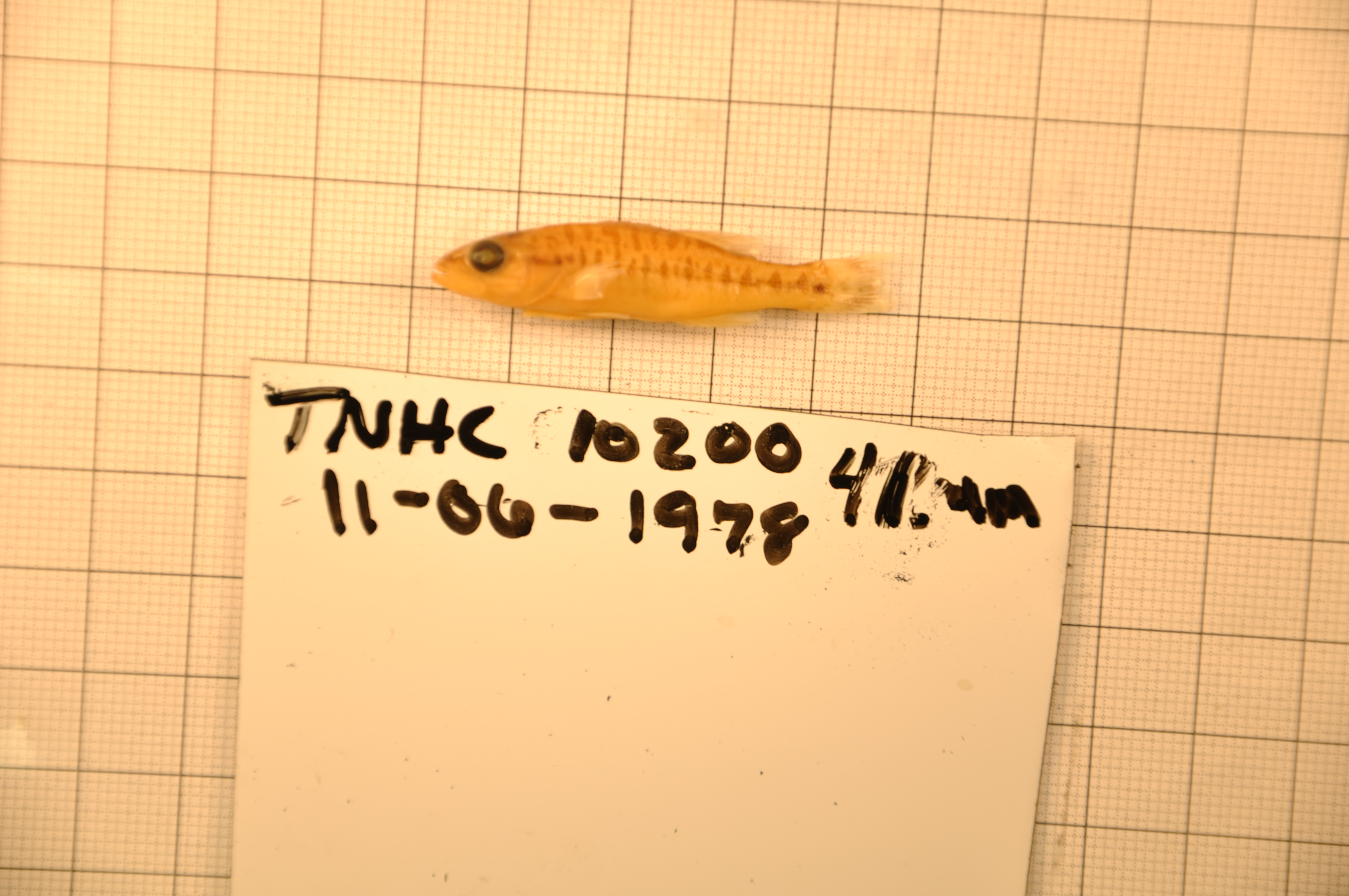
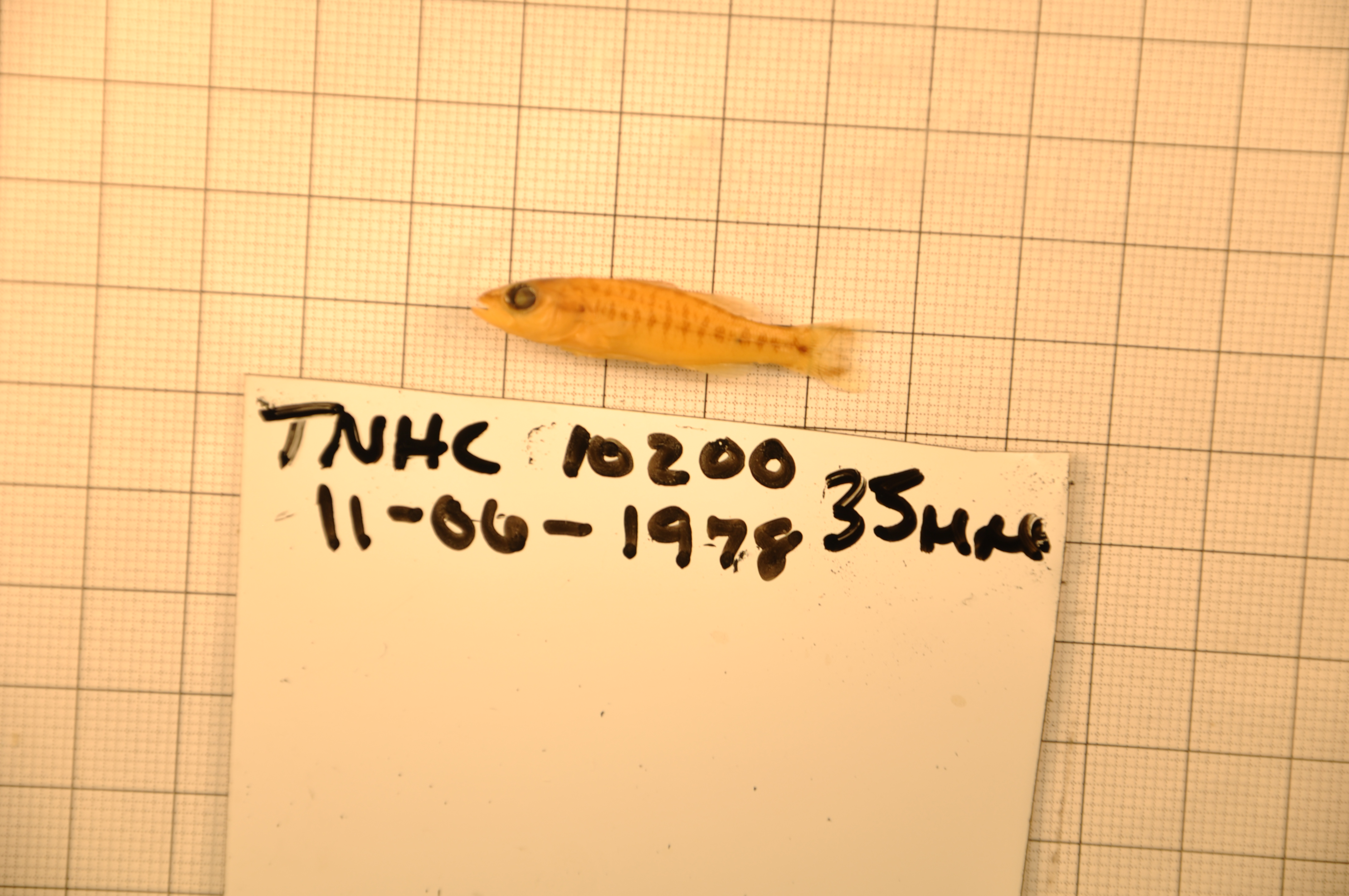
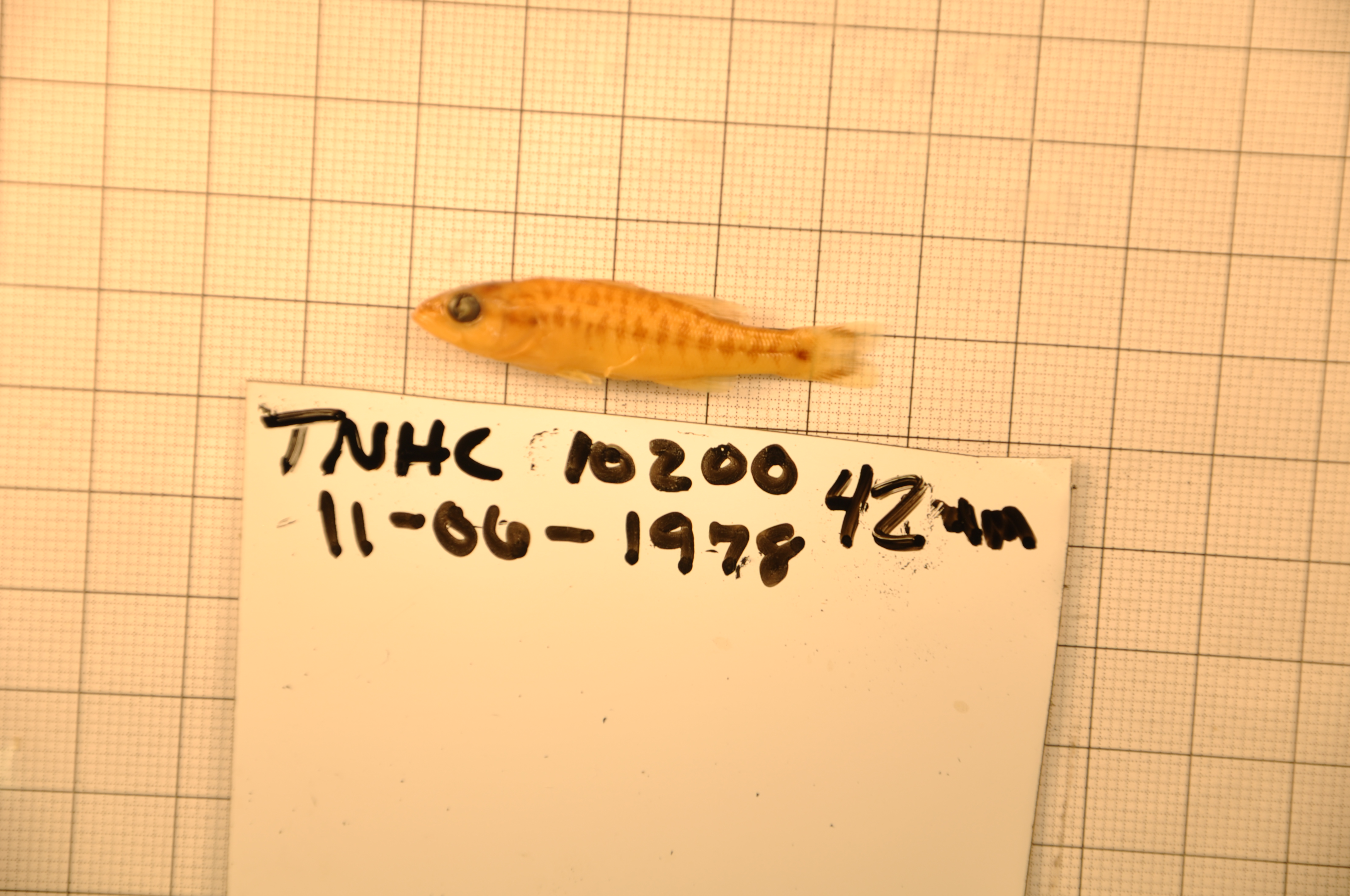
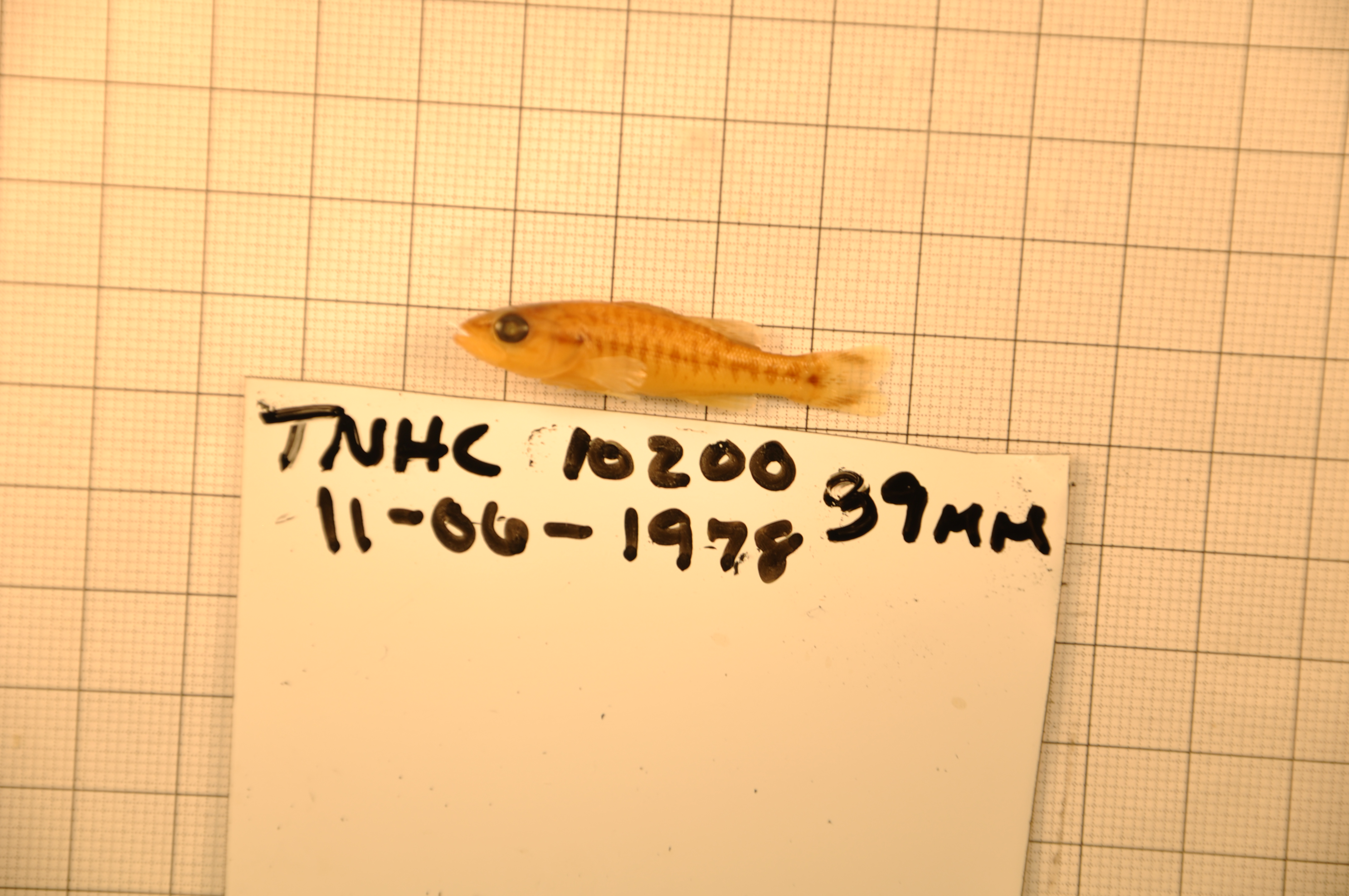
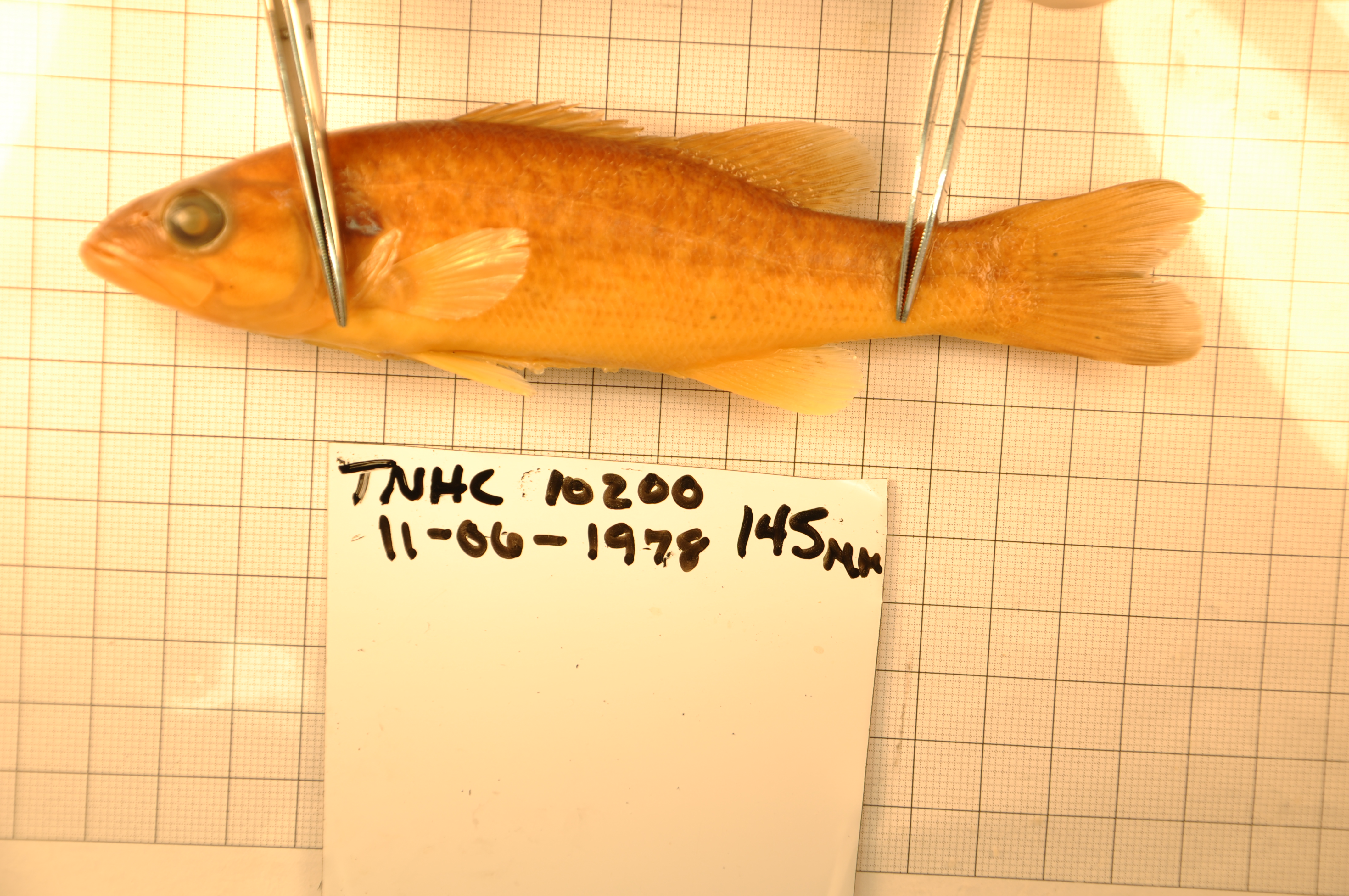
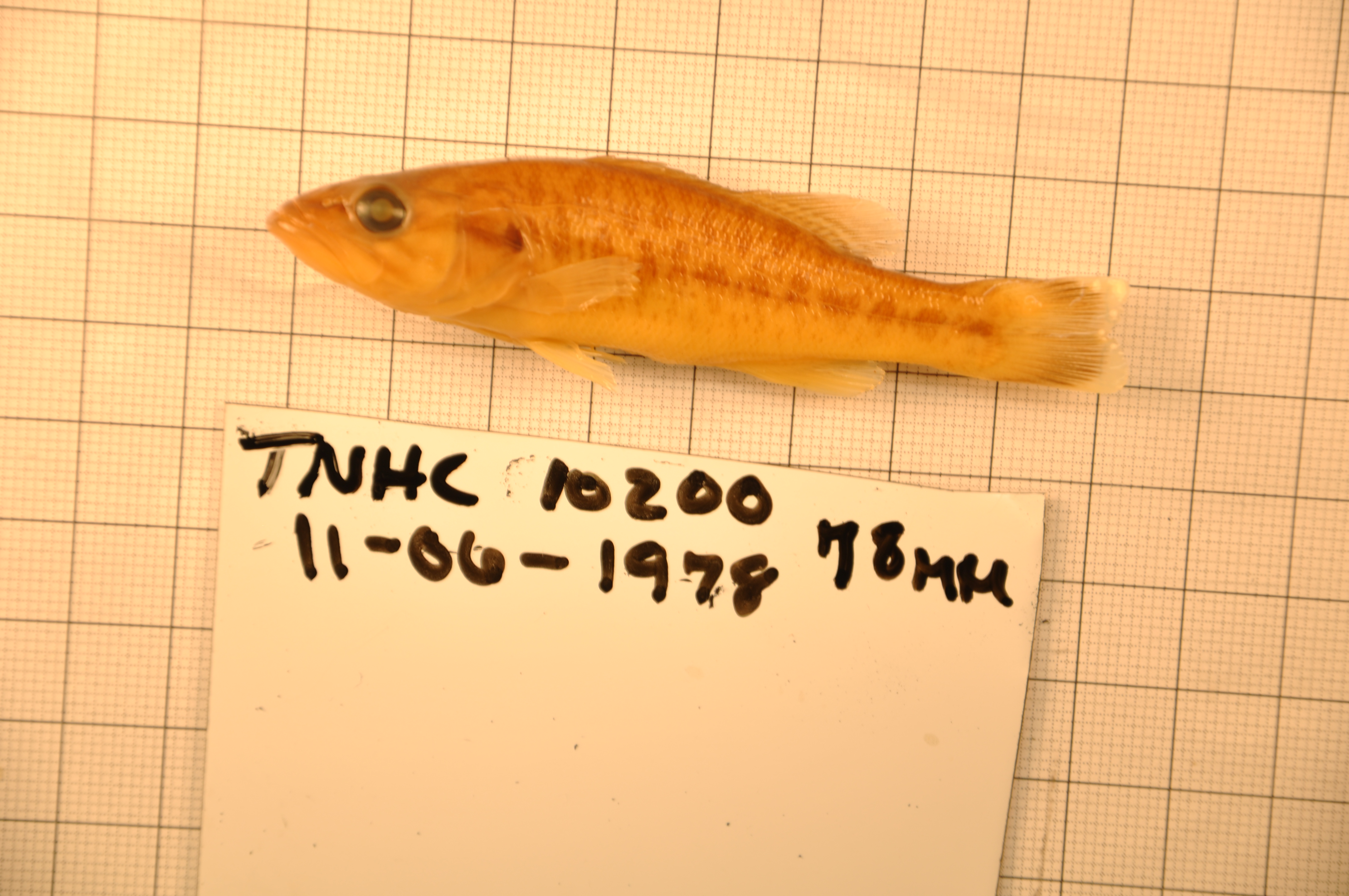
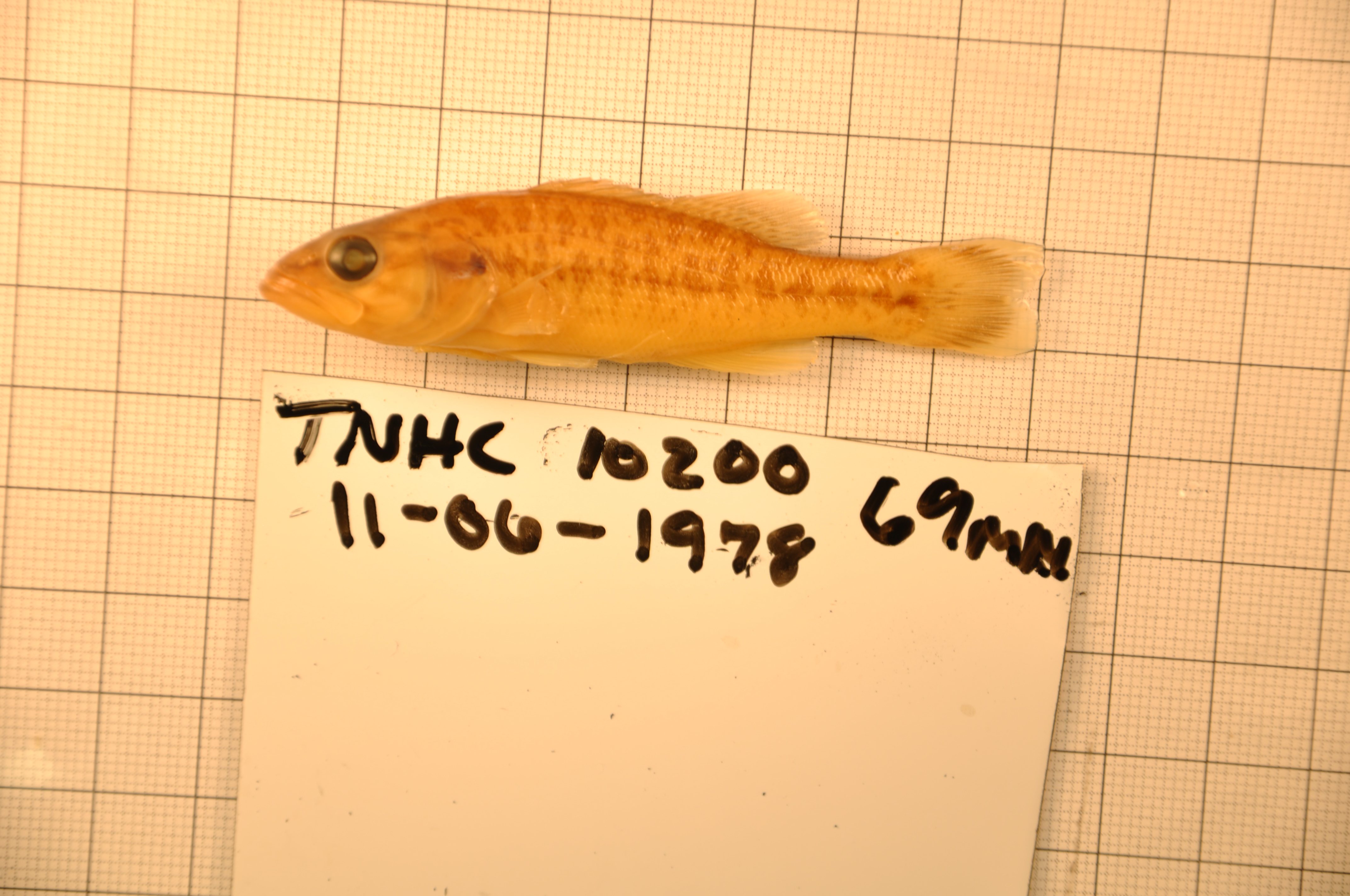
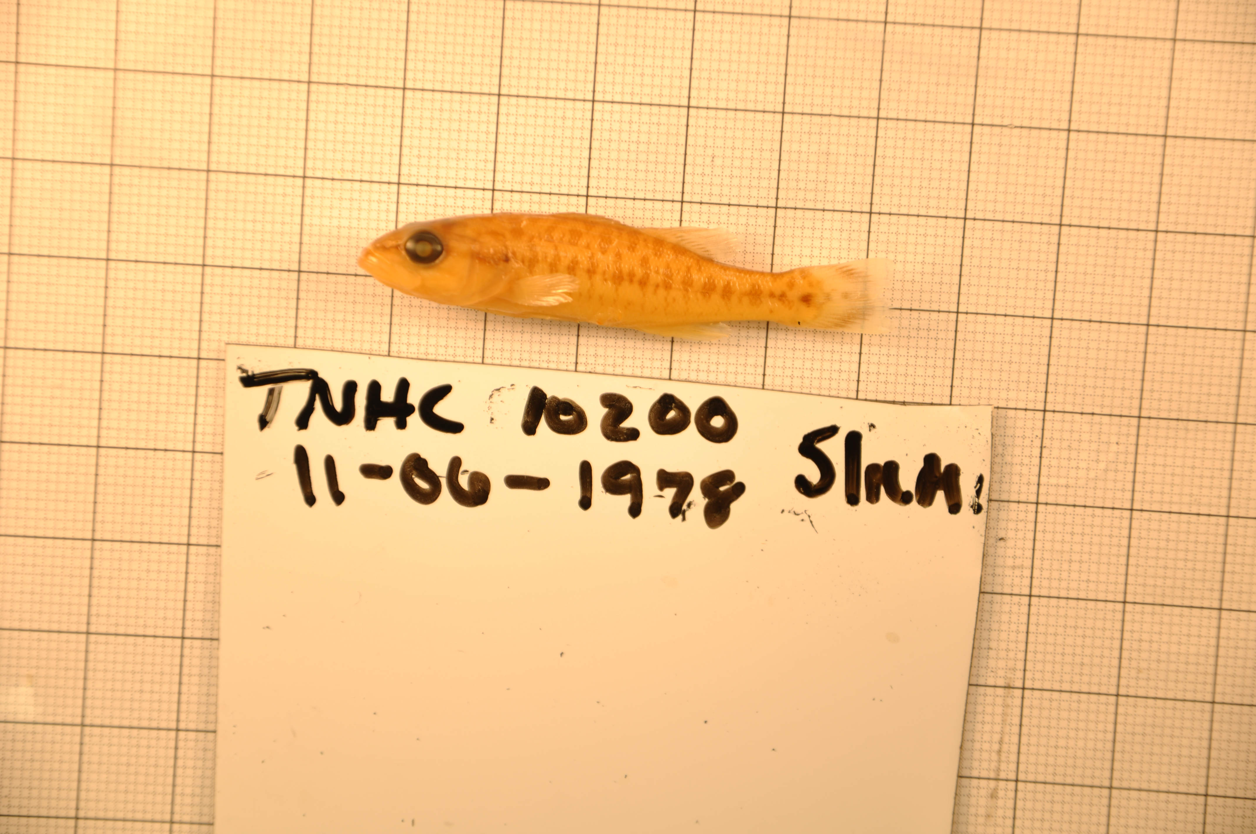
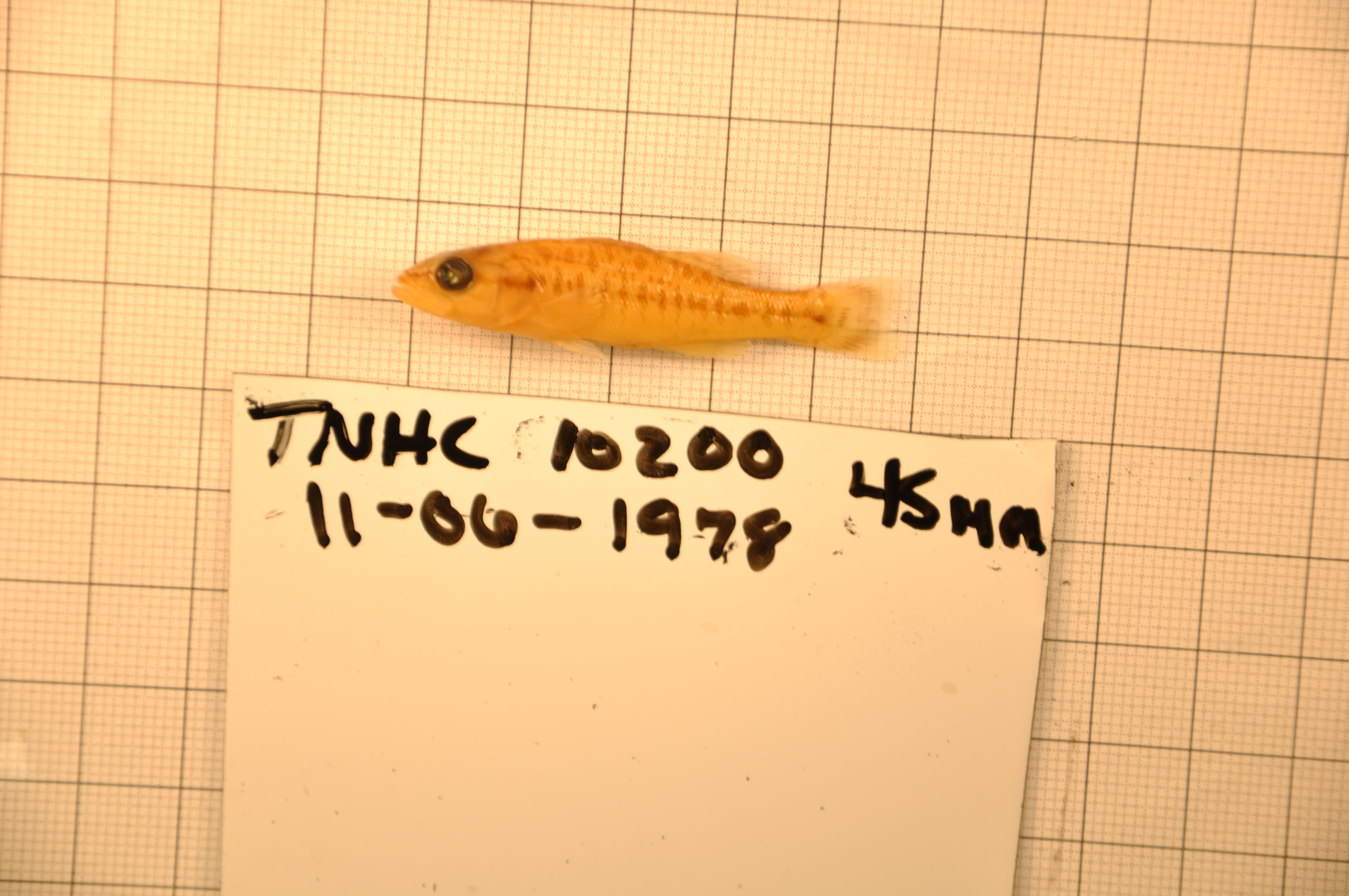
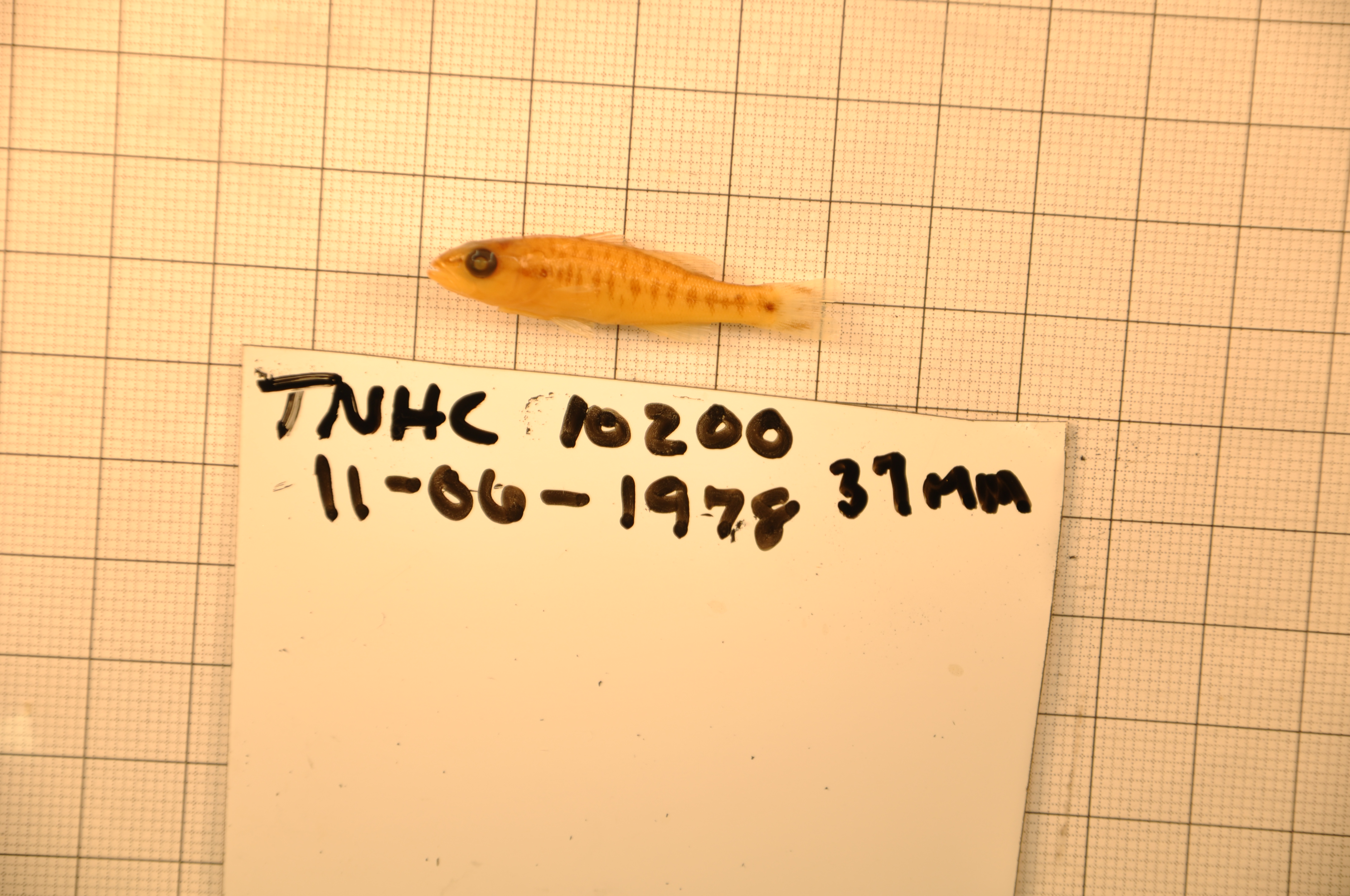
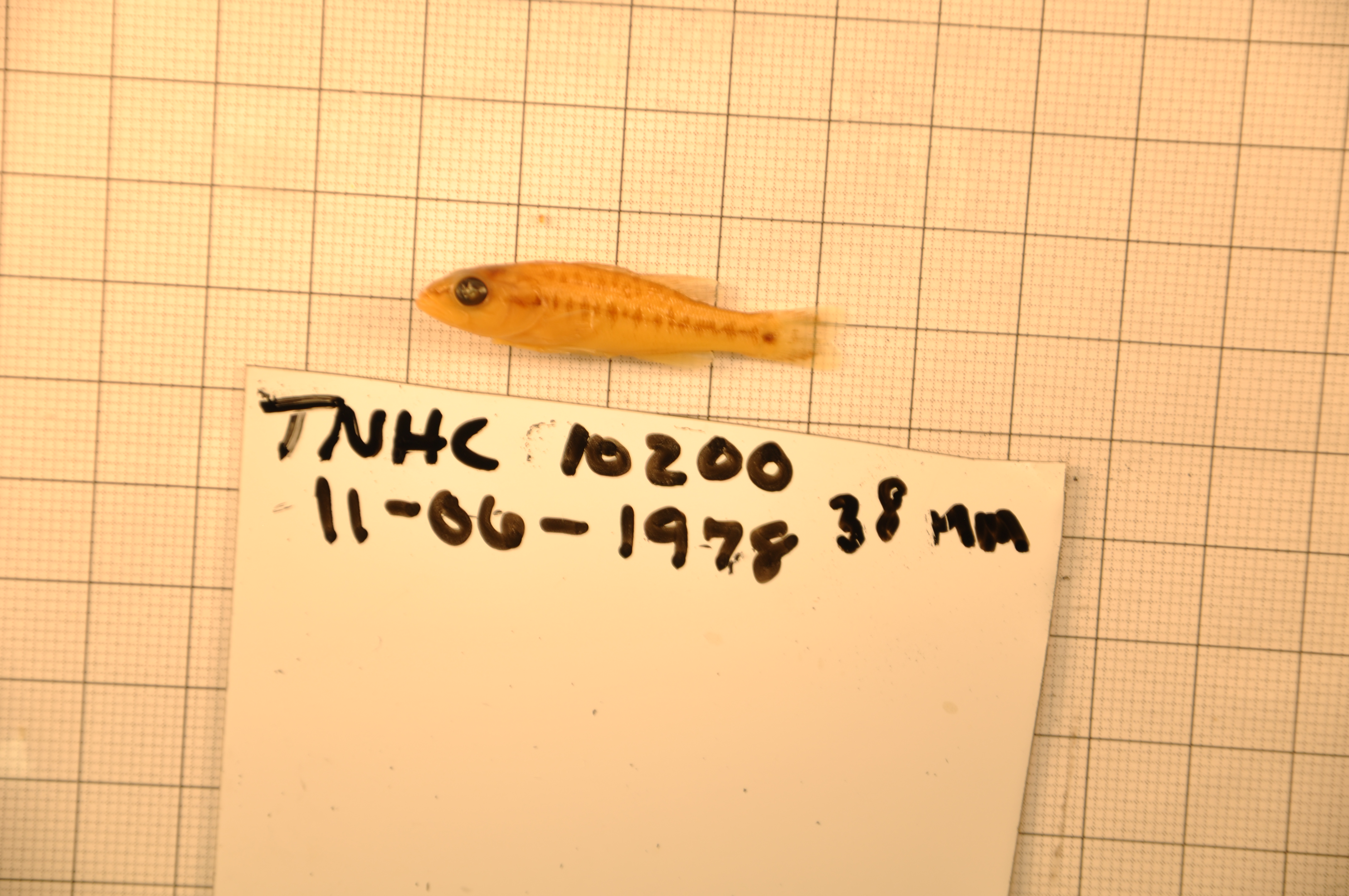
TNHCi_10200
Not suspect, not examinedPhotos


Map
Location
30.75243° N, 98.67581° W
(± 1576.4
m)
Taxonomy
GenusMicropterus
Speciestreculi
Specimen
Num Specimens15
Collection Event
CollectorEdwards
Collected Date1978.6.10
Geography
DrainageColorado
CountryUnited States
StateTexas
CountyLlano
LocalityLlano River, Llano near Hwy 16
Record Source
Source
Texas Natural History Collections
(type: specimens)
Institution
Texas Natural History Collections
(type: museum)
Curator
Dean Hendrickson
Record Added
May 13, 2010
Record Last Modified
March 23, 2026
Data Processing Track
Track 2
From Data Set Received
04/2009 to 10/2010
Identification
Suspect Notes
None
Count
15
Current Determination
Determiner
Fishes of Texas staff
Determination Date
Unknown
Determination Type
Unspecified
Identification Comments
None
Identification Confidence
Unknown
Collecting Event
Collected
June 11, 1978
Collector(s)
Collecting Event ID
10303
Field Notes
Locality
Region
Llano Uplift
Jurisdiction
Llano, Texas
Name
Llano River at Llano
Hydrography
Texas-Gulf Region
Lower Colorado-San Bernard Coastal
Middle Colorado-Llano
Llano
San Fernando Creek-Llano River
Oatman Creek-Llano River
Captive
no
Locality Photos
No locality photos available.
flag (suspect/examine)
suspect: noexamination: no
date
date_range: 6/11/1978-6/11/1978
collectors
collectors: Edwards
collectors
collectors: Edwards
date
date_range: 6/10/1978-6/10/1978
staff comment
ID Status: Not flagged for specimen examination. By default we accept donor specimen determinations (after synonymization to our taxonomy). If georeferenced to TX this record has been considered in spatial context with other occurences of this species and accepted as correct.
ID Comments: NAGeoref Remark: Point is placed on the SH 16 crossing and reach is defined by Llano geographic extent.
georeference
Error: 1576.36646880631
Remarks: Point is placed on the SH 16 crossing and reach is defined by Llano geographic extent.
Locality: Llano River at LlanoCoordinates: 30.752430934;-98.675814672Georeferencer: AECGeographic note: Inland USA TexasPoint is placed on the SH 16 crossing and reach is defined by Llano geographic extent.
Comments On TNHCi_10200