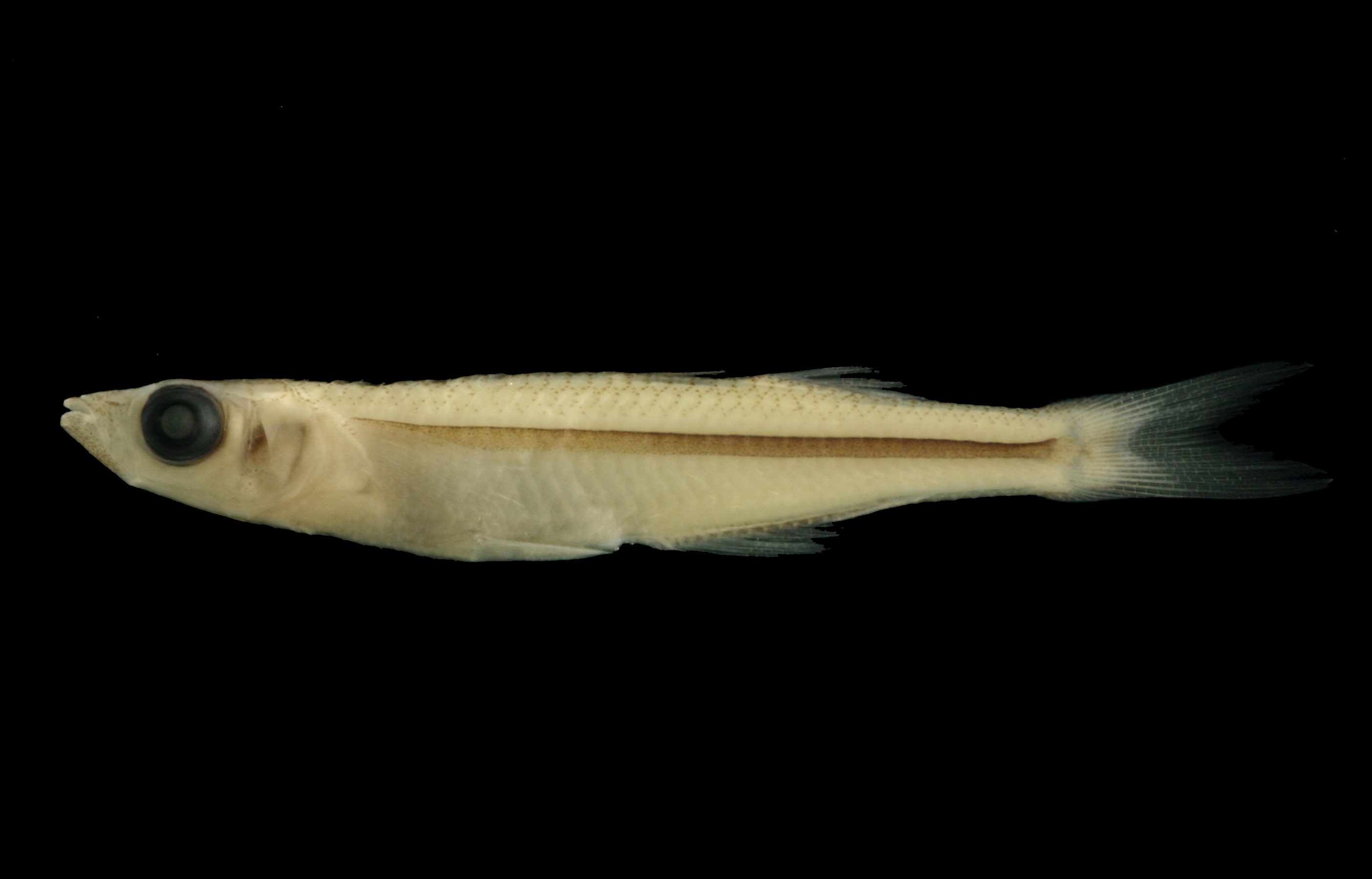
TNHCi_10269
Not suspect, not examinedPhotos
Map
Location
28.10373° N, 97.01907° W
(± 1863.6
m)
Taxonomy
GenusMenidia
Speciesclarkhubbsi
Specimen
Num Specimens10
Collection Event
CollectorEchelle, A.; et al.
Collected Date1979.11.22
Geography
DrainageSan Antonio-Nueces
CountryUnited States
StateTexas
CountyAransas
LocalityNine Mile Pond, Live Oak Point, 2 miles N Fulton
Record Source
Source
Texas Natural History Collections
(type: specimens)
Institution
Texas Natural History Collections
(type: museum)
Curator
Dean Hendrickson
Record Added
May 13, 2010
Record Last Modified
March 23, 2026
Data Processing Track
Track 2
From Data Set Received
04/2009 to 10/2010
Identification
Suspect Notes
None
Count
10
Current Determination
Determiner
Fishes of Texas staff
Determination Date
Unknown
Determination Type
Unspecified
Identification Comments
None
Identification Confidence
Unknown
Collecting Event
Collected
Nov. 23, 1979
Collector(s)
Collecting Event ID
10500
Field Notes
There are no field notes available.
Locality
Region
Gulf Coast Prairies & Marshes
Jurisdiction
Aransas, Texas
Name
Live Oak Point
Hydrography
Texas-Gulf Region
Central Texas Coastal
Central Texas Coastal
Aransas Bay
Aransas Bay
Aransas Bay
Captive
no
Locality Photos
No locality photos available.
HUC 12
121004050400
Georeferencing Remarks
Replaced original georeference by moving point from inland of peninsula to water . Species data reflects presence of obligate marine species, therefore, assuming to be found in water as opposed to peninsula center.
Georeferencing Annotation
Can\'t find \"Nine Mile Pond\", so georeferenced Live Oak Point, with an extent that runs halfway to nearest named place (Redfish Point)
Has not been Georeferenced because
—
Comments On TNHCi_10269