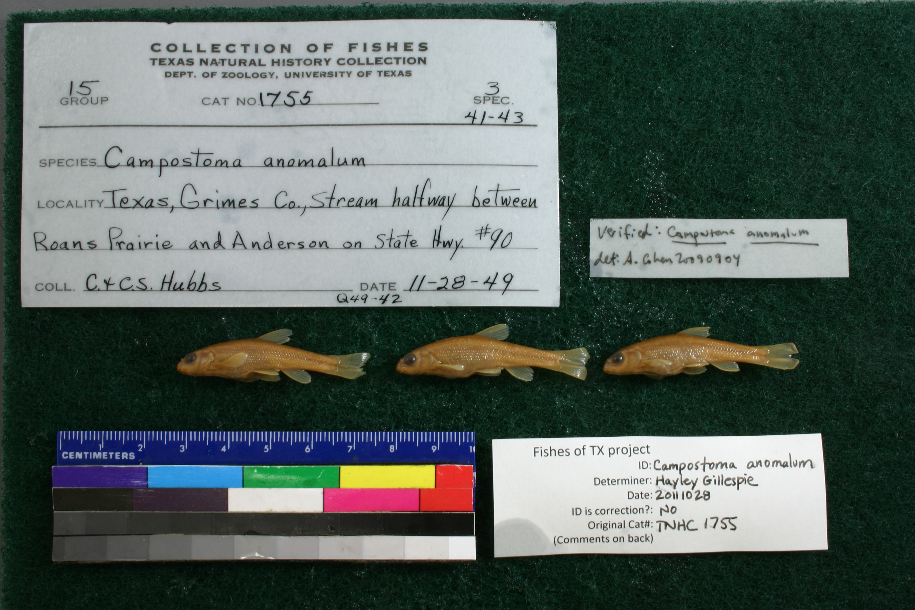
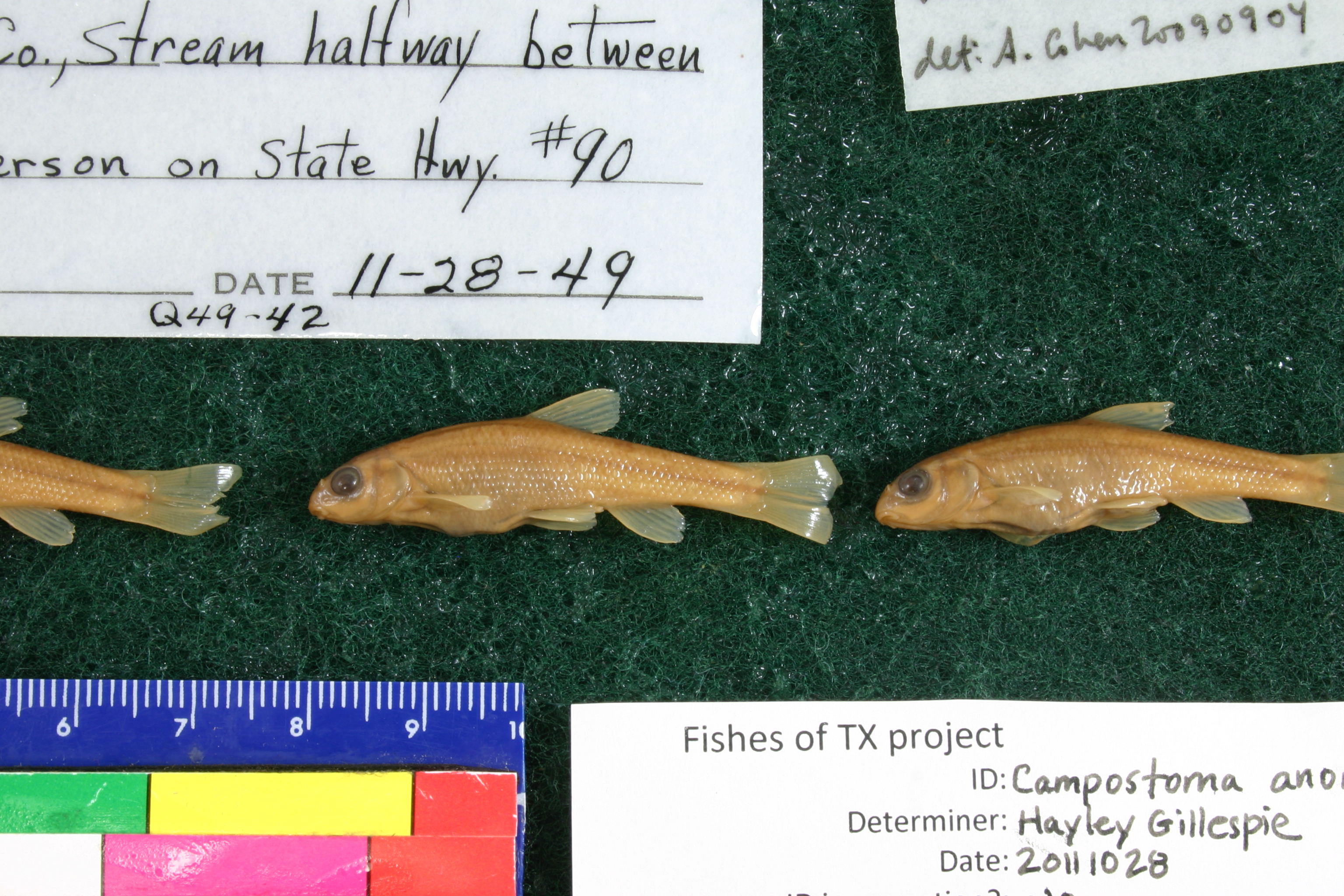
TNHCi_1755
Not suspect, examinedPhotos
Map
Location
30.53965° N, 95.97508° W
(± 2990.2
m)
Taxonomy
GenusCampostoma
Speciesanomalum
Specimen
Num Specimens3
Collection Event
CollectorHubbs, C.S.
Collected Date1949.11.27
Geography
DrainageBrazos
CountryUnited States
StateTexas
CountyGrimes
LocalityStream midway between Roans Prairie & Anderson, State Hwy 90
Record Source
Source
Texas Natural History Collections
(type: specimens)
Institution
Texas Natural History Collections
(type: museum)
Curator
Dean Hendrickson
Record Added
May 13, 2010
Record Last Modified
March 23, 2026
Data Processing Track
Track 2
From Data Set Received
04/2009 to 10/2010
Identification
Suspect Notes
None
Count
3
Current Determination
Determiner
Adam Cohen
Determination Date
Feb. 11, 2016
Determination Type
specimen examination
Identification Comments
ID complete
Identification Confidence
Unknown
Collecting Event
Collected
Nov. 28, 1949
Collector(s)
Collecting Event ID
7173
Field Notes
There are no field notes available.
Locality
Region
Oak Woods & Prairies
Jurisdiction
Grimes, Texas
Name
Unspecified stream midway between Roans Prairie and Anderson on SH 90
Hydrography
Texas-Gulf Region
Lower Brazos
Lower Brazos
Navasota
Rocky Creek-Navasota River
Rocky Creek
Captive
no
Locality Photos
No locality photos available.
flag (suspect/examine)
suspect: noexamination: yes
date
date_range: 11/28/1949-11/28/1949
collectors
collectors: Hubbs, Clark Hubbs, Catherine S.
collectors
collectors: Clark Hubbs, Catherine S. Hubbs
date
date_range: 11/27/1949-11/27/1949
staff comment
ID Status: Specimen examined and ID'ed for FoTX project
Georef Remark: Point is placed on SH 90 at midpoint between Roans Prairie and Anderson and extent runs halfway to each.
georeference
Error: 2990.16115198717
Remarks: Point is placed on SH 90 at midpoint between Roans Prairie and Anderson and extent runs halfway to each.
Locality: Unspecified stream midway between Roans Prairie and Anderson on SH 90Coordinates: 30.539652272;-95.975075128Georeferencer: AECGeographic note: Inland USA TexasPoint is placed on SH 90 at midpoint between Roans Prairie and Anderson and extent runs halfway to each.
Comments On TNHCi_1755