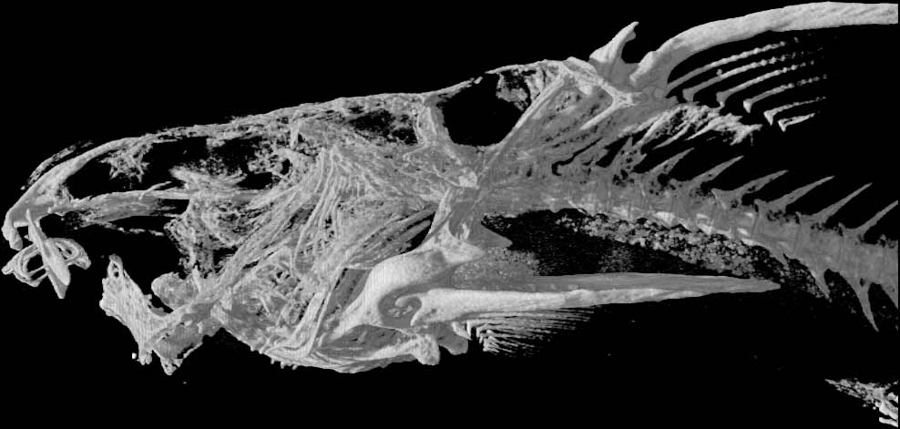
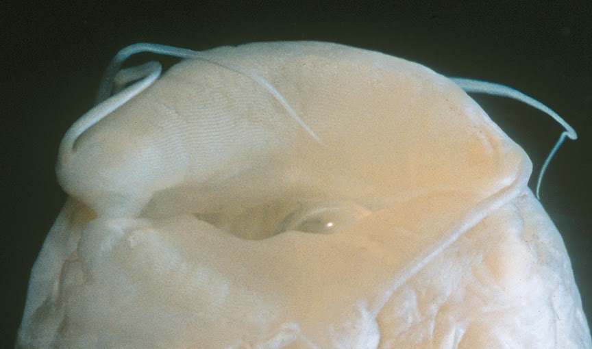
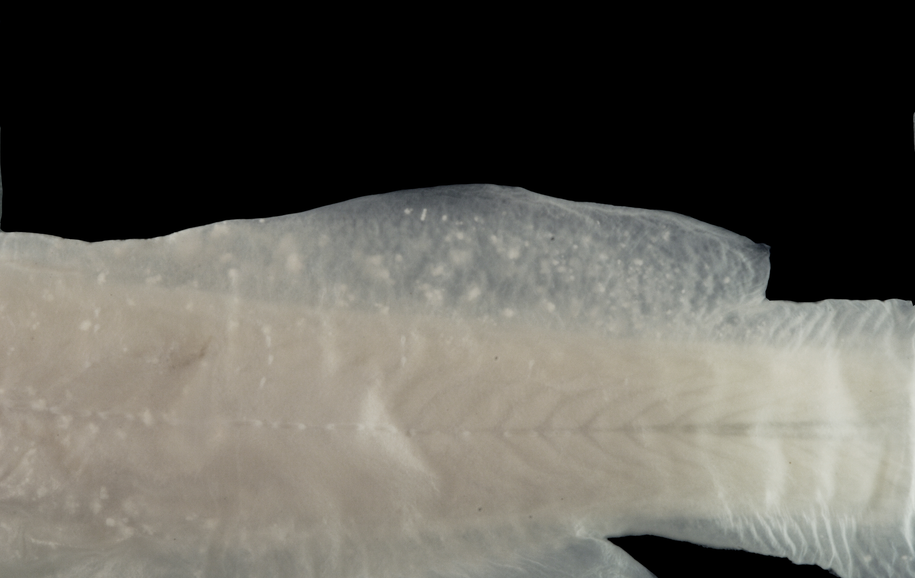
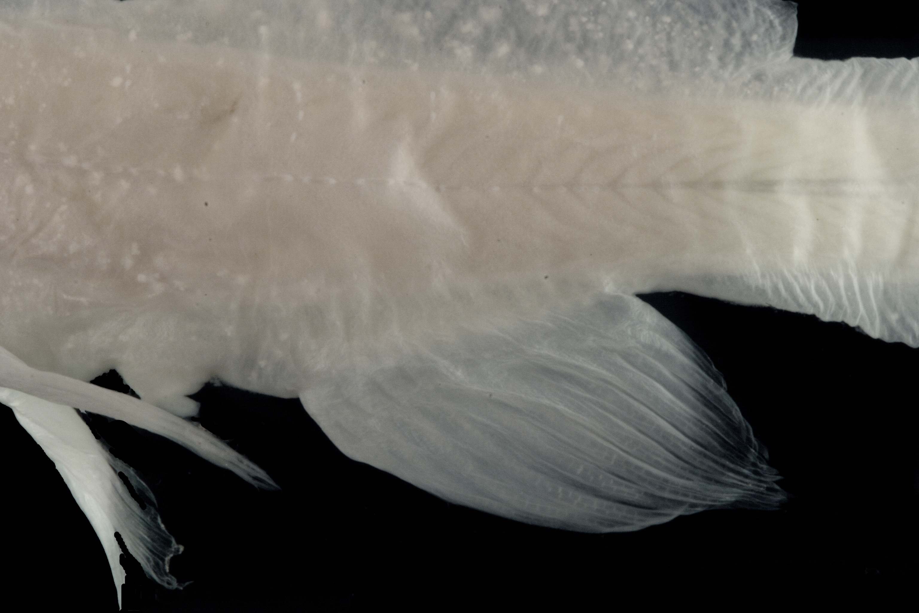
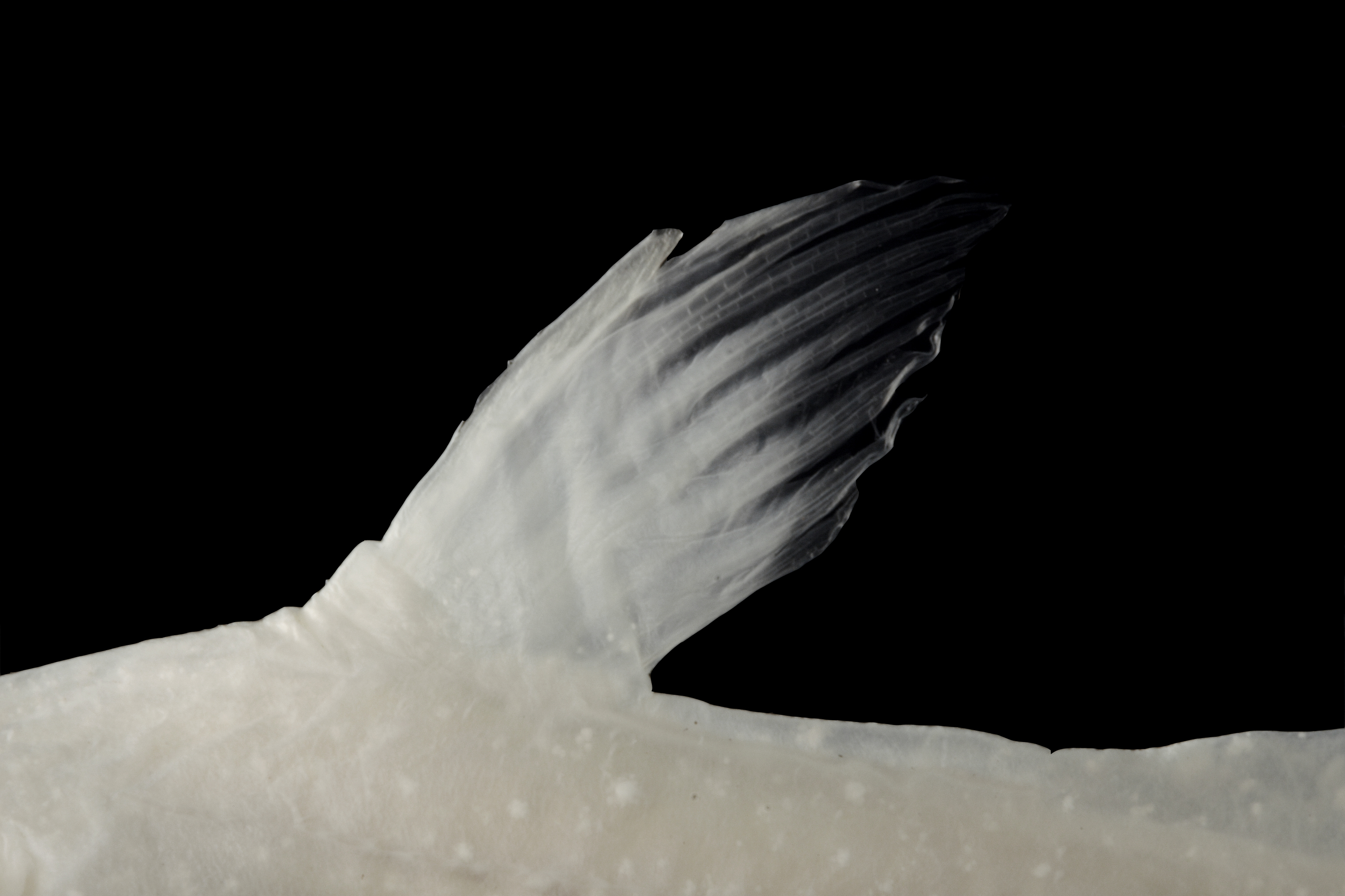
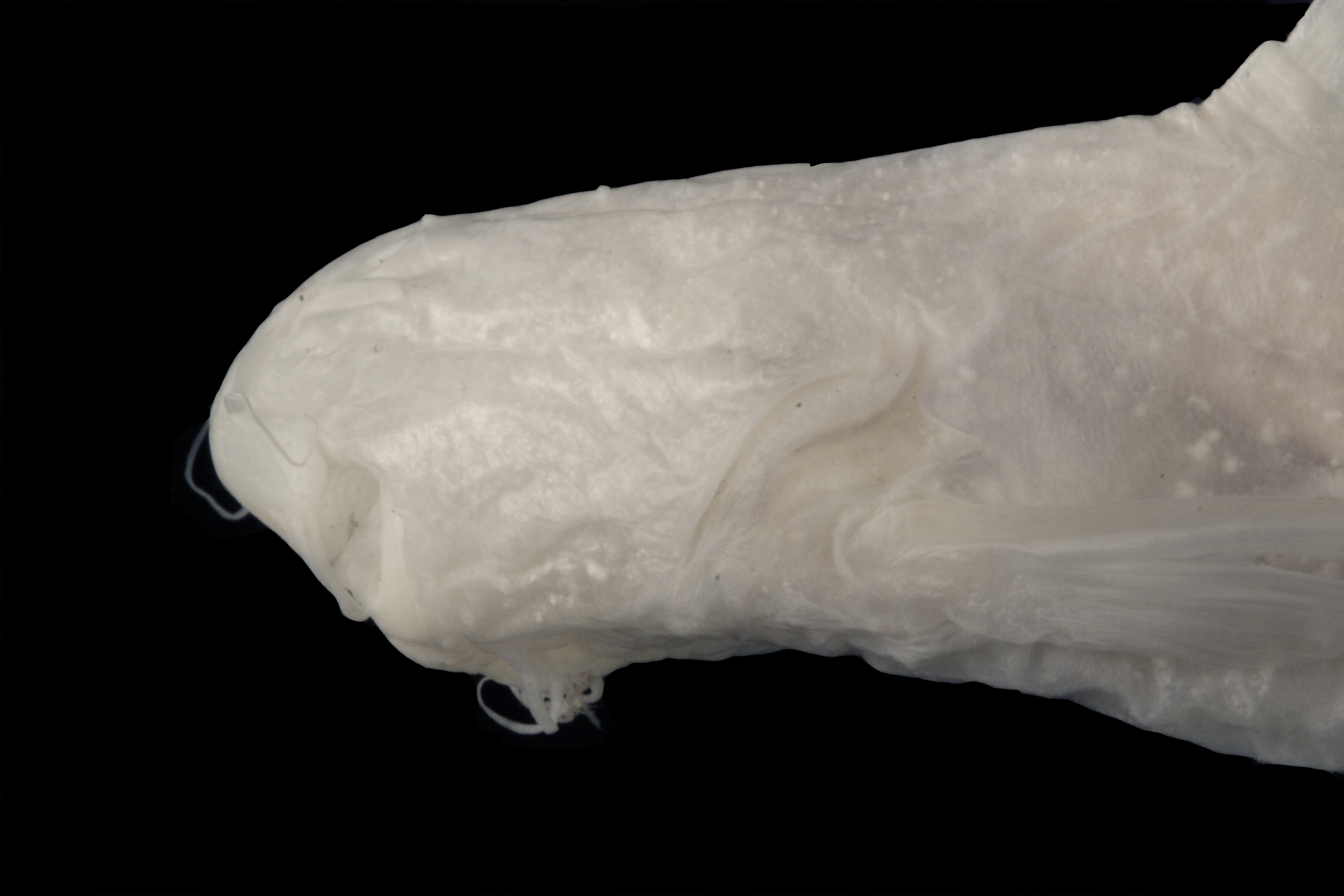
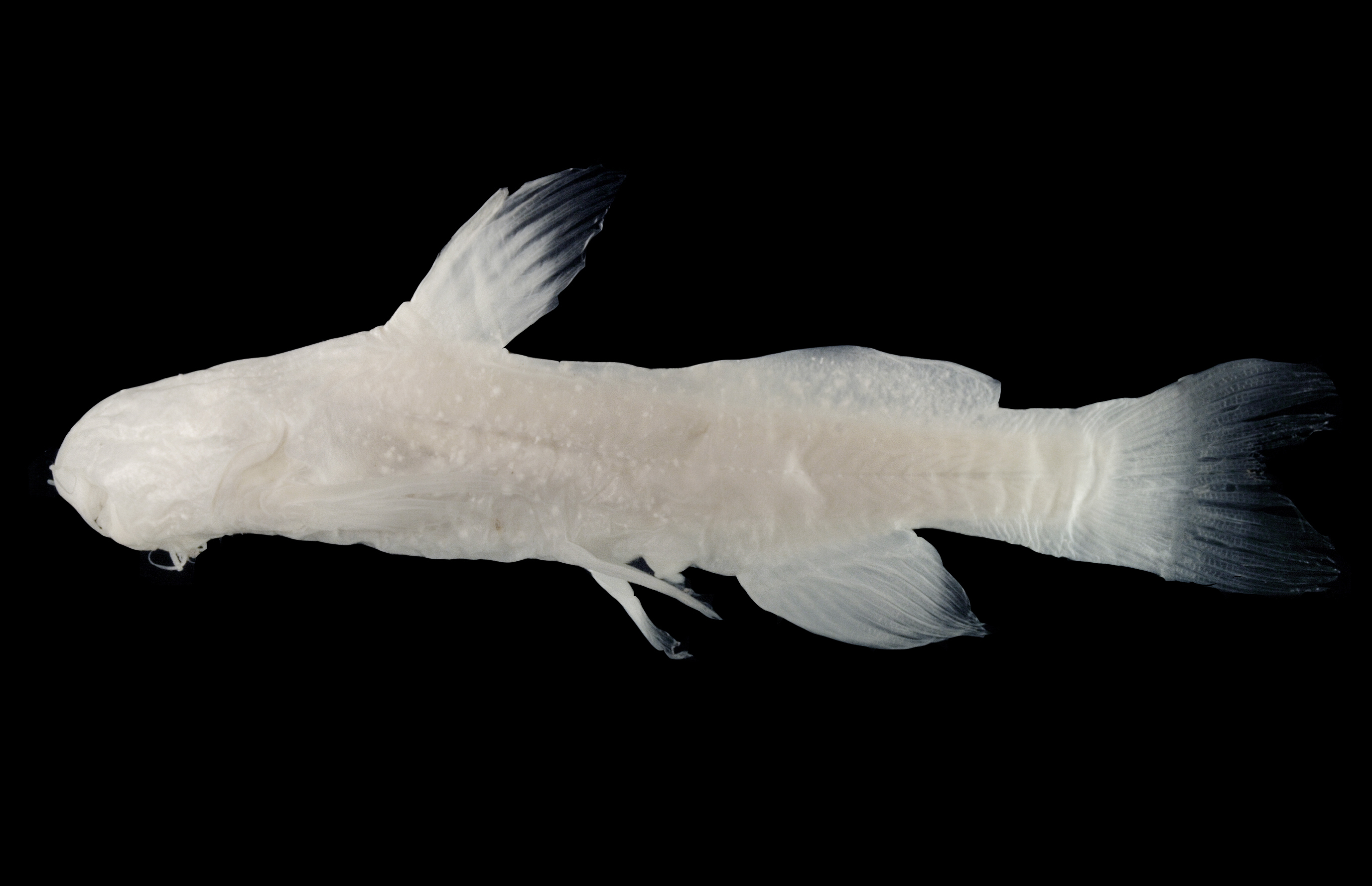
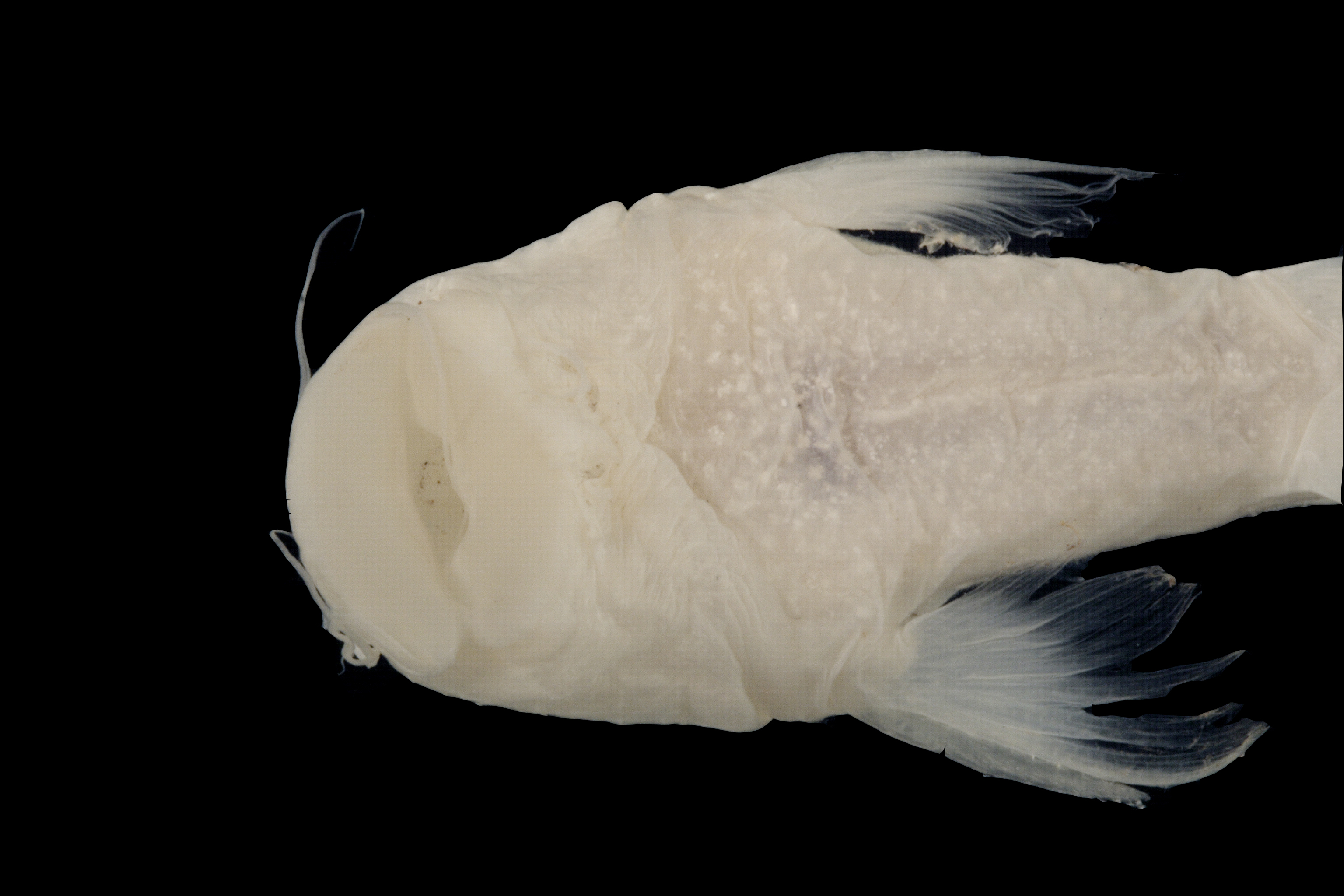
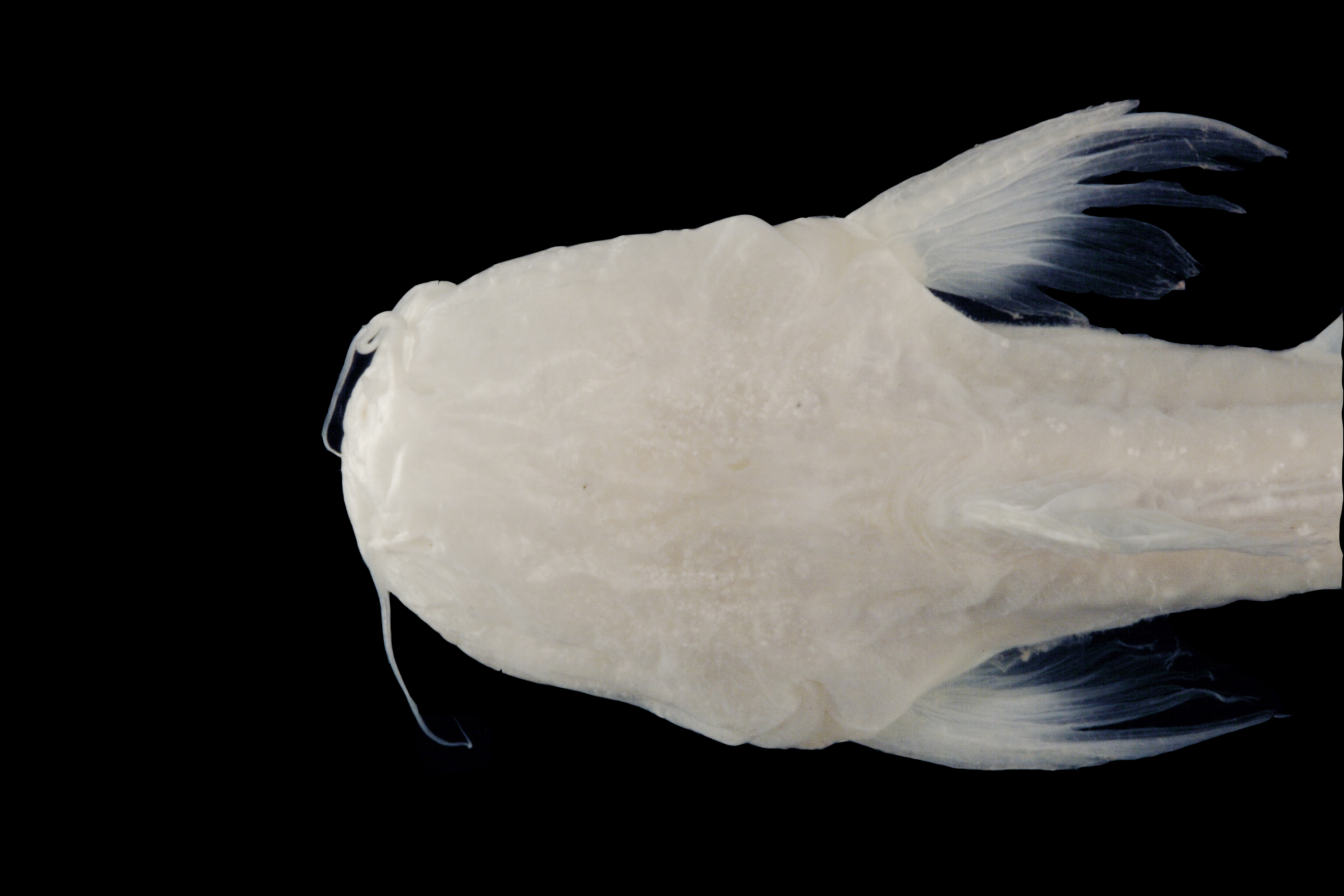
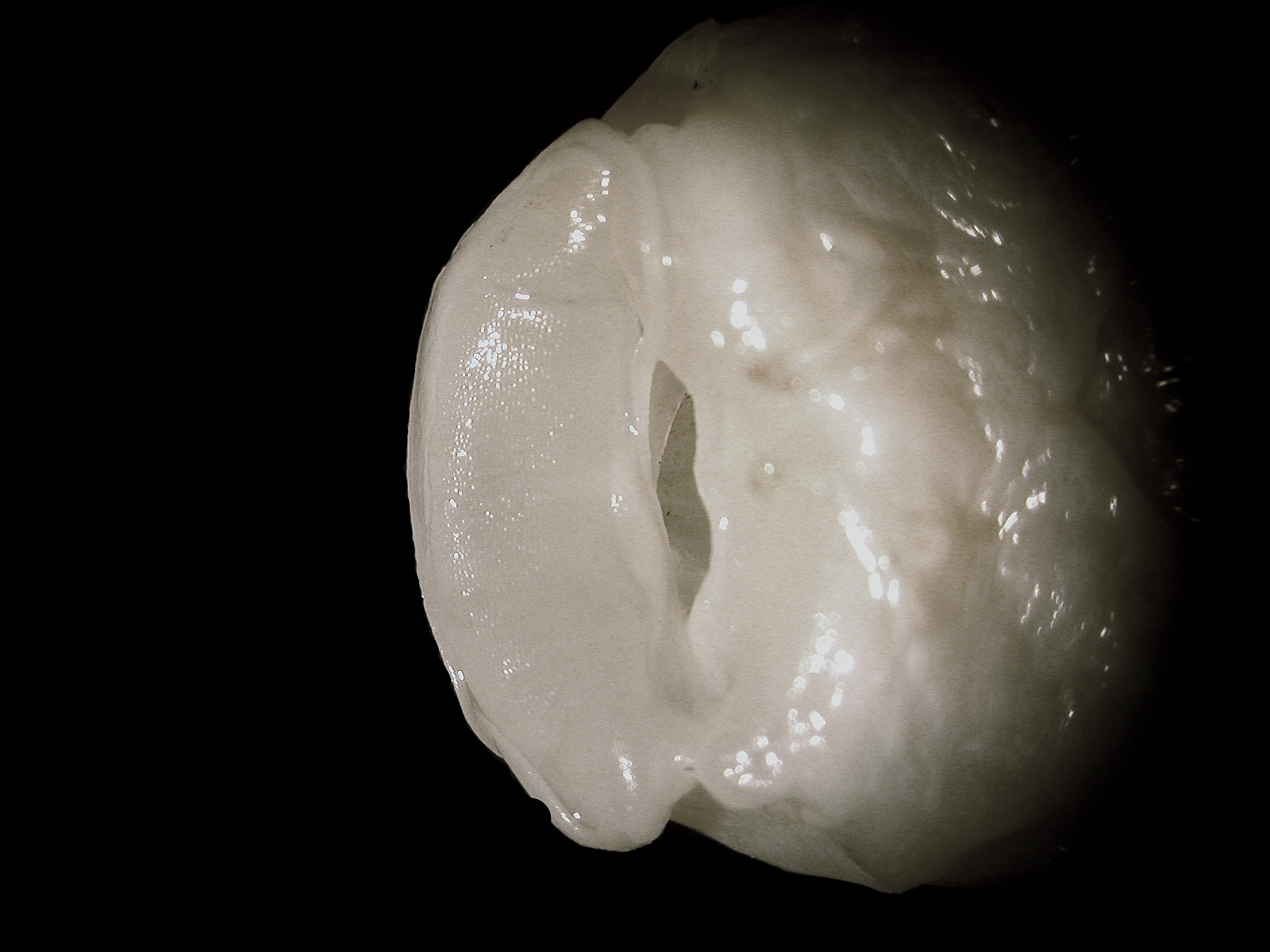
TNHCi_21701
Not suspect, not examinedPhotos
Map
Location
29.45203° N, 98.53320° W
(± 39441.8
m)
Taxonomy
GenusTrogloglanis
Speciespattersoni
Specimen
Num Specimens1
Collection Event
CollectorH Karnei
Collected Date1978.4.25
Geography
CountryUnited States
StateTexas
CountyBexar
LocalityArtesia well #4
Record Source
Source
Texas Natural History Collections
(type: specimens)
Institution
Texas Natural History Collections
(type: museum)
Curator
Dean Hendrickson
Record Added
May 13, 2010
Record Last Modified
March 23, 2026
Data Processing Track
Track 2
From Data Set Received
04/2009 to 10/2010
Identification
Suspect Notes
None
Count
1
Current Determination
Determiner
Fishes of Texas staff
Determination Date
Unknown
Determination Type
Unspecified
Identification Comments
None
Identification Confidence
Unknown
Collecting Event
Collected
April 26, 1978
Collector(s)
Collecting Event ID
9332
Field Notes
There are no field notes available.
Locality
Region
Edwards Plateau
Jurisdiction
Bexar, Texas
Name
Bexar County
Hydrography
Texas-Gulf Region
Central Texas Coastal
San Antonio
Upper San Antonio
Headwaters San Antonio River
San Pedro Creek
Captive
no
Locality Photos
No locality photos available.
Comments On TNHCi_21701