TNHCi_2314
Not suspect, not examined
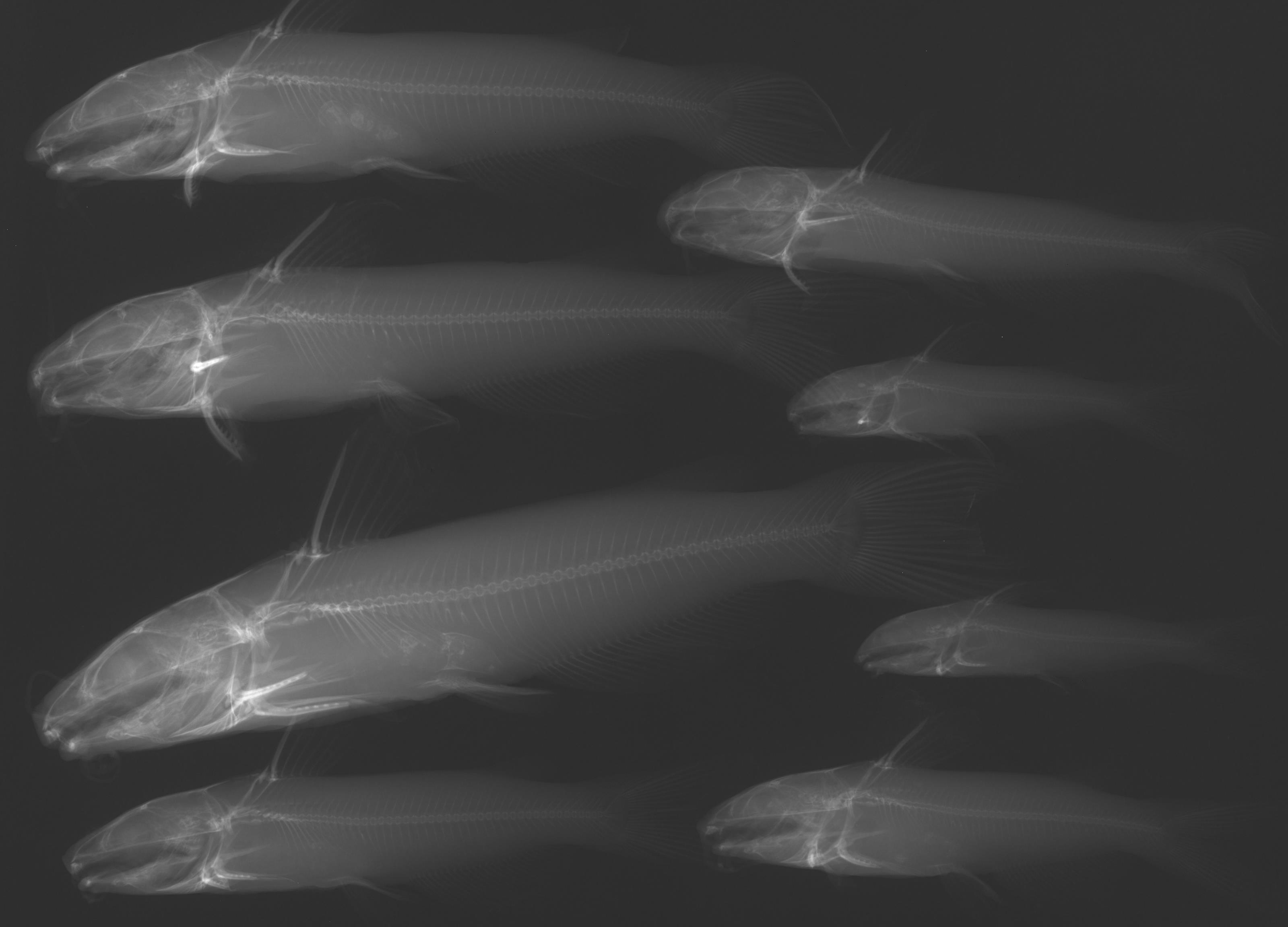
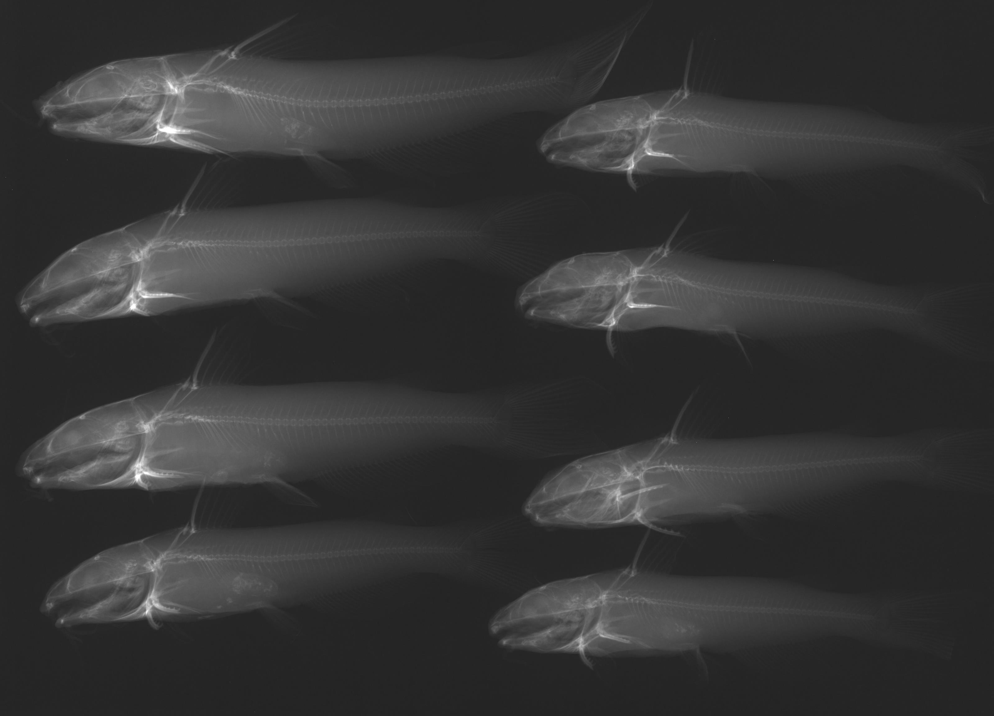
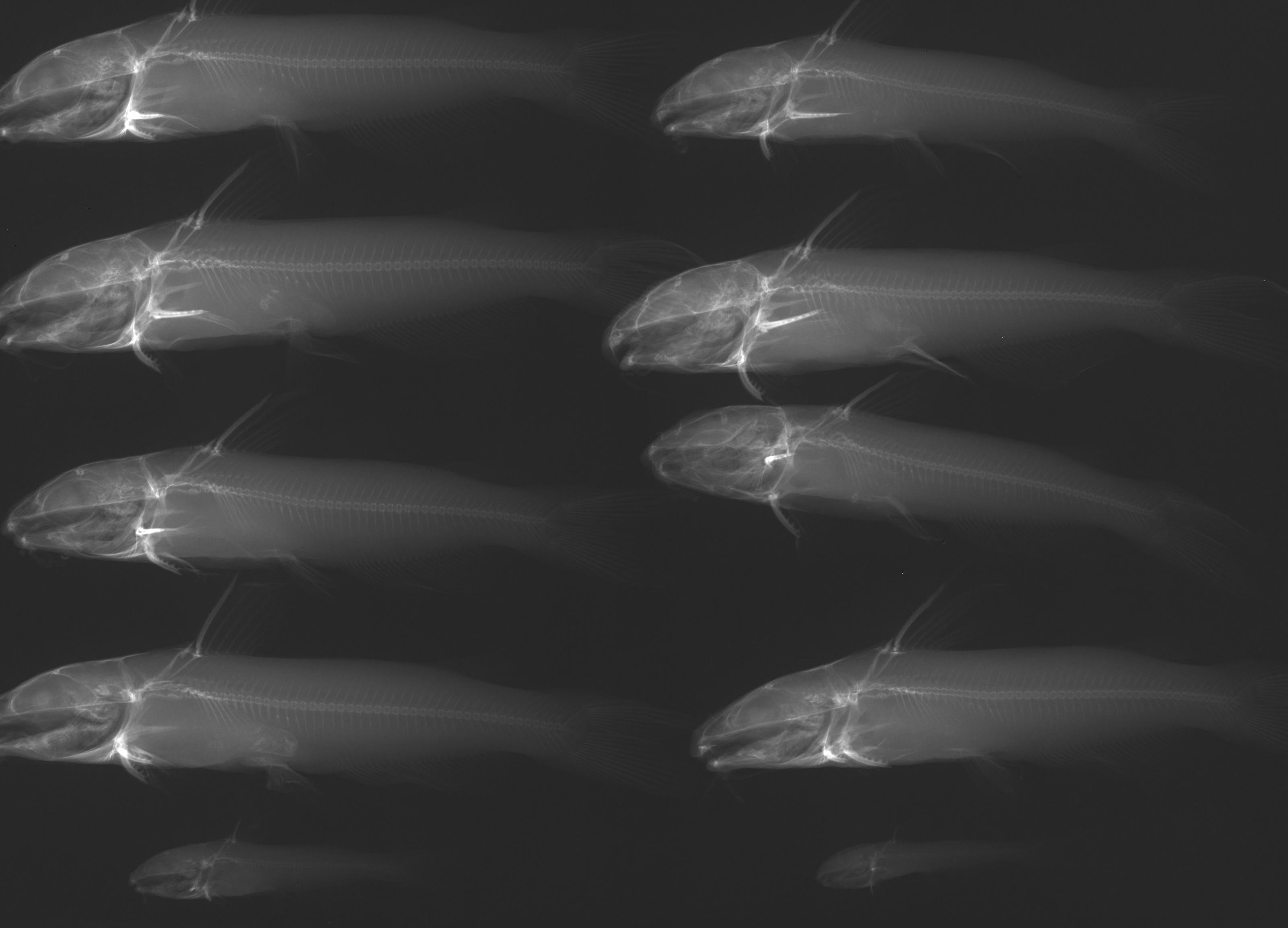
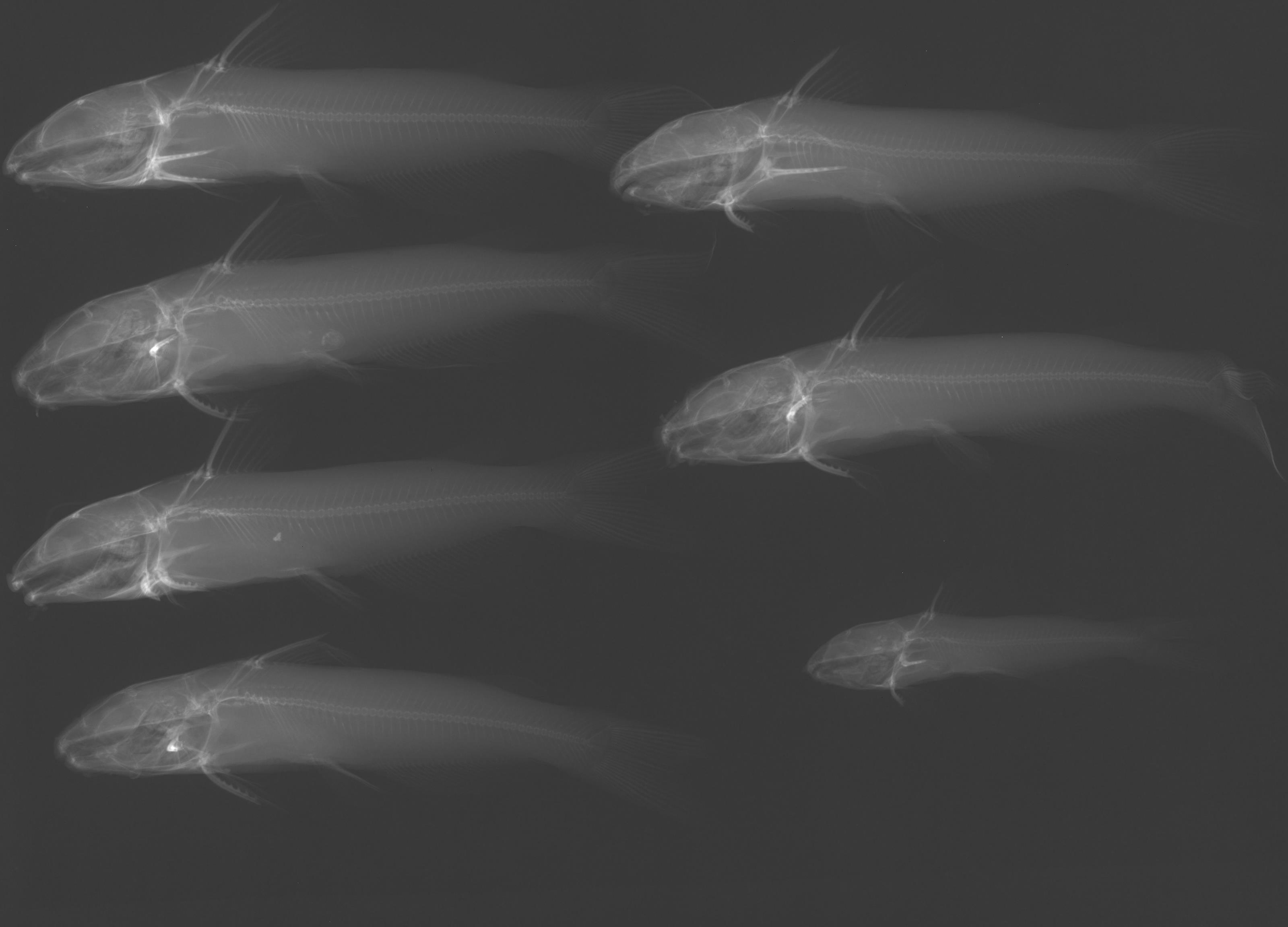
Channel Catfish –
Ictalurus punctatus
Photos
Map
Location
30.00808° N, 99.11478° W
(± 2314.2
m)
Taxonomy
GenusIctalurus
Speciespunctatus
Specimen
Num Specimens33
Collection Event
CollectorHubbs, C.S.
Collected Date1951.8.5
Geography
DrainageGuadalupe
CountryUnited States
StateTexas
CountyKerr
LocalityGuadalupe River, Flat Rock, 4 mi. SE Kerrville
Record Source
Source
Texas Natural History Collections
(type: specimens)
Institution
Texas Natural History Collections
(type: museum)
Curator
Dean Hendrickson
Record Added
May 13, 2010
Record Last Modified
March 23, 2026
Data Processing Track
Track 2
From Data Set Received
04/2009 to 10/2010
Identification
Suspect Notes
None
Count
33
Current Determination
Determiner
Fishes of Texas staff
Determination Date
Unknown
Determination Type
Unspecified
Identification Comments
None
Identification Confidence
Unknown
Collecting Event
Collected
Aug. 6, 1951
Collector(s)
Collecting Event ID
6806
Field Notes
There are no field notes available.
Locality
Region
Edwards Plateau
Jurisdiction
Kerr, Texas
Name
Guadalupe River at Flat Rock
Hydrography
USGS HUC
Texas-Gulf Region
Central Texas Coastal
Guadalupe
Upper Guadalupe
Turtle Creek-Guadalupe River
Quinlan Creek-Guadalupe River
HydroBASINS
7519
751940
75194095
7519409551
751940955100
Captive
no
Locality Photos
No locality photos available.
flag (suspect/examine)
suspect: noexamination: no
date
date_range: 8/6/1951-8/6/1951
collectors
collectors: Hubbs, Clark Hubbs, Catherine S.
collectors
collectors: Clark Hubbs, Catherine S. Hubbs
date
date_range: 8/5/1951-8/5/1951
staff comment
ID Status: Not flagged for specimen examination. By default we accept donor specimen determinations (after synonymization to our taxonomy). If georeferenced to TX this record has been considered in spatial context with other occurences of this species and accepted as correct.
ID Comments: NAGeoref Remark: This description could refer to the reservoir, dam, or park. All three are continuous so the reach is defined by all three.
georeference
Error: 2314.23667199007
Remarks: This description could refer to the reservoir, dam, or park. All three are continuous so the reach is defined by all three.
Locality: Guadalupe River at Flat RockCoordinates: 30.00808413;-99.114783853Georeferencer: AECGeographic note: Inland USA TexasThis description could refer to the reservoir, dam, or park. All three are continuous so the reach is defined by all three.
Comments On TNHCi_2314