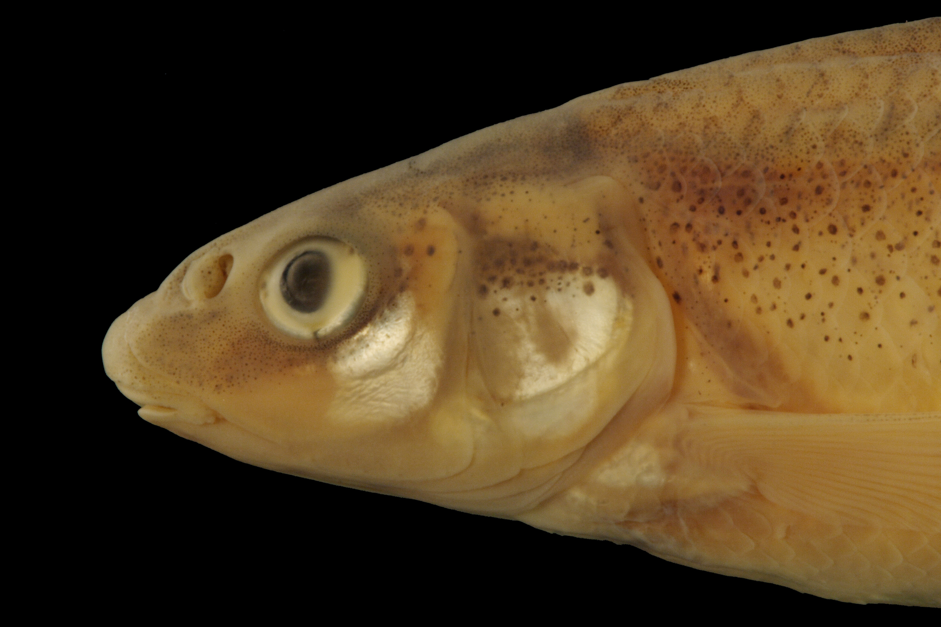
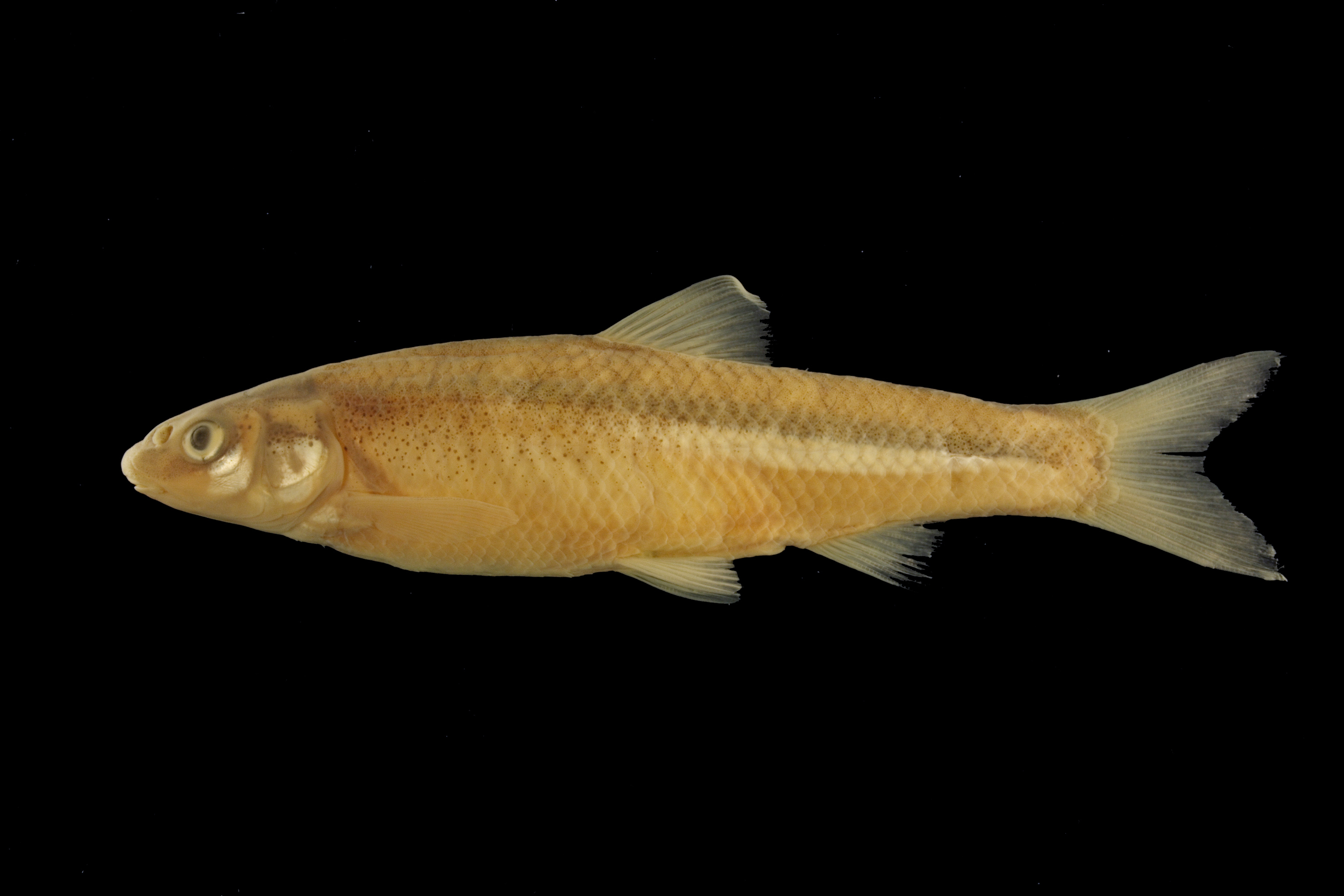
TNHCi_26439
Not suspect, not examinedPhotos
Map
Location
34.17901° N, 99.27837° W
(± 43.6
m)
Taxonomy
GenusHybognathus
Speciesplacitus
Specimen
Num Specimens7
Collection Event
CollectorSneegas, G. W.
Collected Date1999.4.23
Geography
CountryUnited States
StateTexas
CountyWilbarger
LocalityPease R at Hwy 283 bridge, 1.4 mi N Vernon
Record Source
Source
Texas Natural History Collections
(type: specimens)
Institution
Texas Natural History Collections
(type: museum)
Curator
Dean Hendrickson
Record Added
May 13, 2010
Record Last Modified
March 23, 2026
Data Processing Track
Track 2
From Data Set Received
04/2009 to 10/2010
Identification
Suspect Notes
None
Count
7
Current Determination
Determiner
Fishes of Texas staff
Determination Date
Unknown
Determination Type
Unspecified
Identification Comments
None
Identification Confidence
Unknown
Collecting Event
Collected
April 23, 1999
Collector(s)
Collecting Event ID
10591
Field Notes
There are no field notes available.
Locality
Region
Rolling Plains
Jurisdiction
Wilbarger, Texas
Name
Pease River at US 283
Hydrography
Arkansas-White-Red Region
Red-Washita
Red-Pease
Pease
Lower Pease River
Boggy Creek-Pease River
Captive
no
Locality Photos
No locality photos available.
flag (suspect/examine)
suspect: noexamination: no
date
date_range: 4/23/1999-4/23/1999
collectors
collectors: Sneegas, Garold W.
collectors
collectors: Garold W. Sneegas
date
date_range: 4/23/1999-4/23/1999
staff comment
ID Status: Not flagged for specimen examination. By default we accept donor specimen determinations (after synonymization to our taxonomy). If georeferenced to TX this record has been considered in spatial context with other occurences of this species and accepted as correct.
ID Comments: NAGeoref Remark: Original georeference was done incorrectly. Lat and Long were the same number. Updated with correct coordinates for this crossing.
georeference
Error: 43.634
Remarks: Original georeference was done incorrectly. Lat and Long were the same number. Updated with correct coordinates for this crossing.
Locality: Pease River at US 283Coordinates: 34.179014994;-99.278365451Georeferencer: MJCGeographic note: Inland USA TexasOriginal georeference was done incorrectly. Lat and Long were the same number. Updated with correct coordinates for this crossing.
Comments On TNHCi_26439