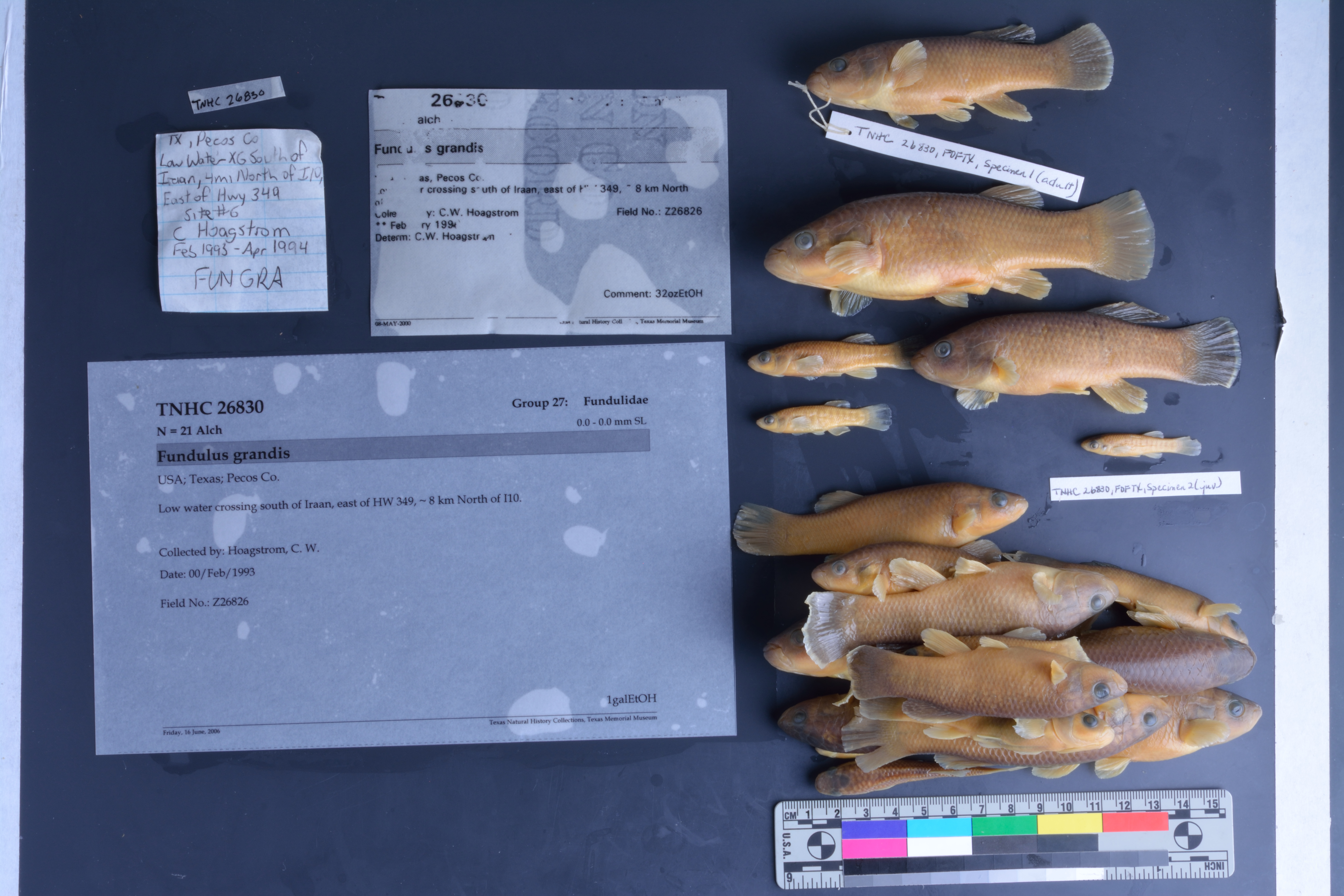
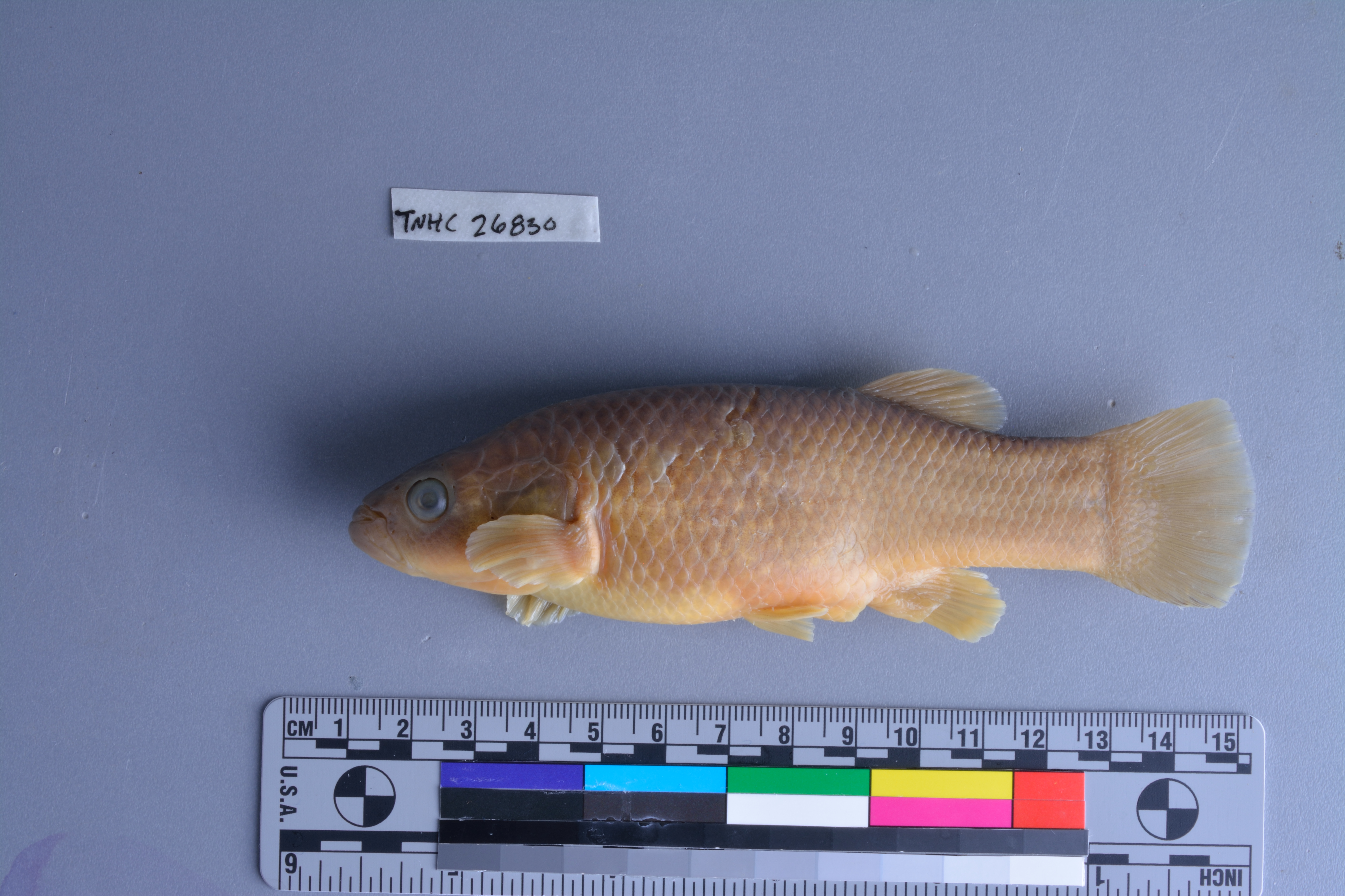
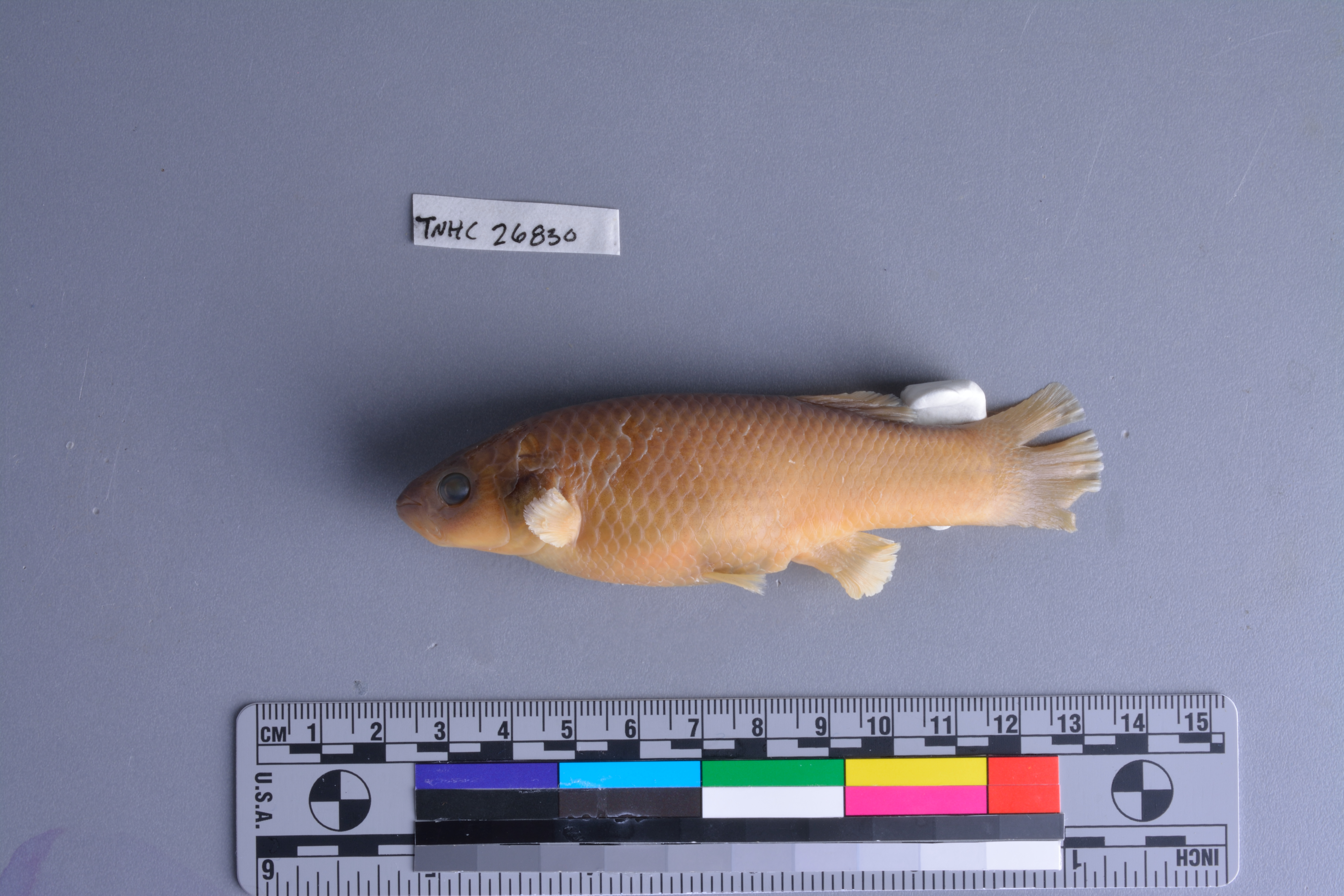
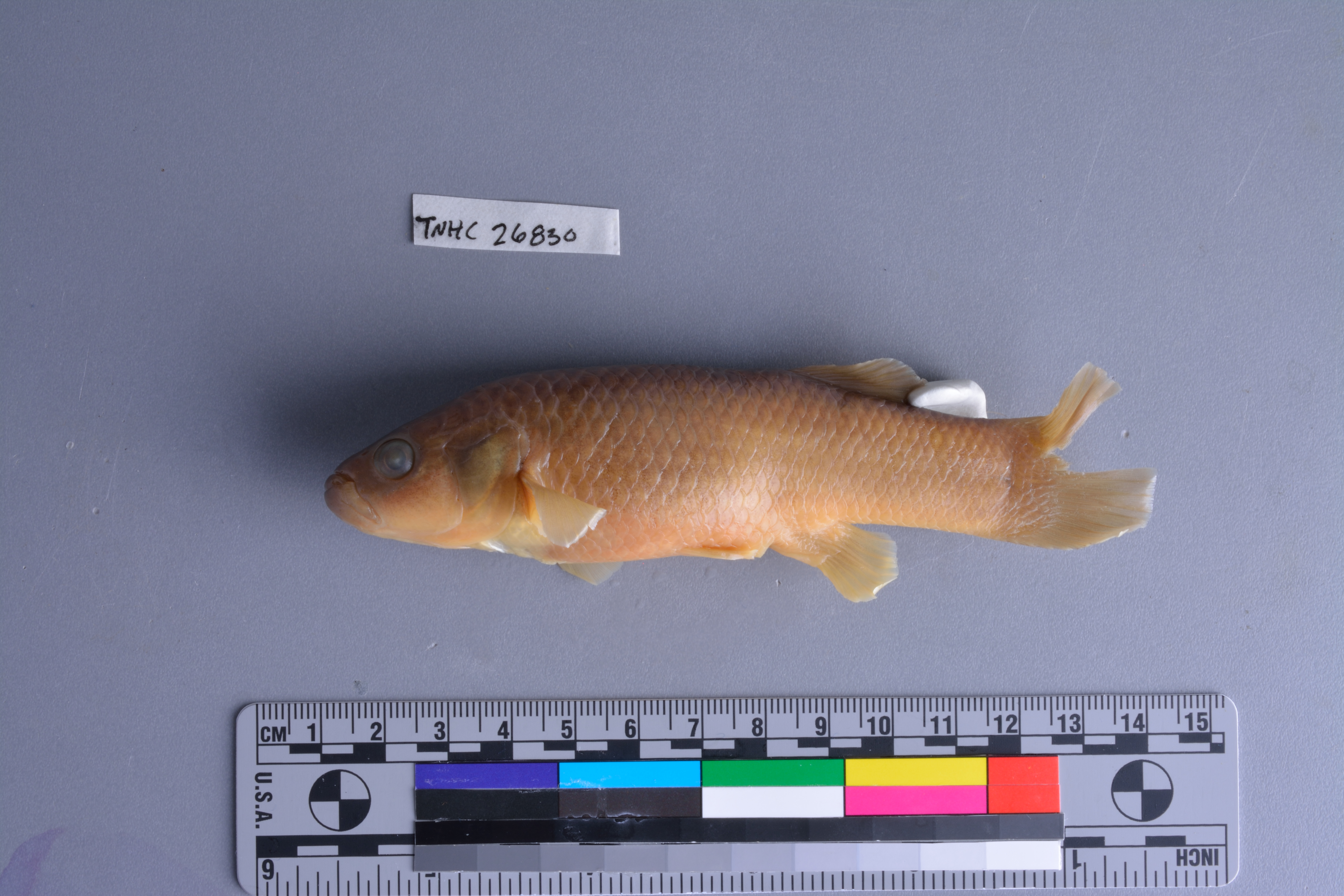
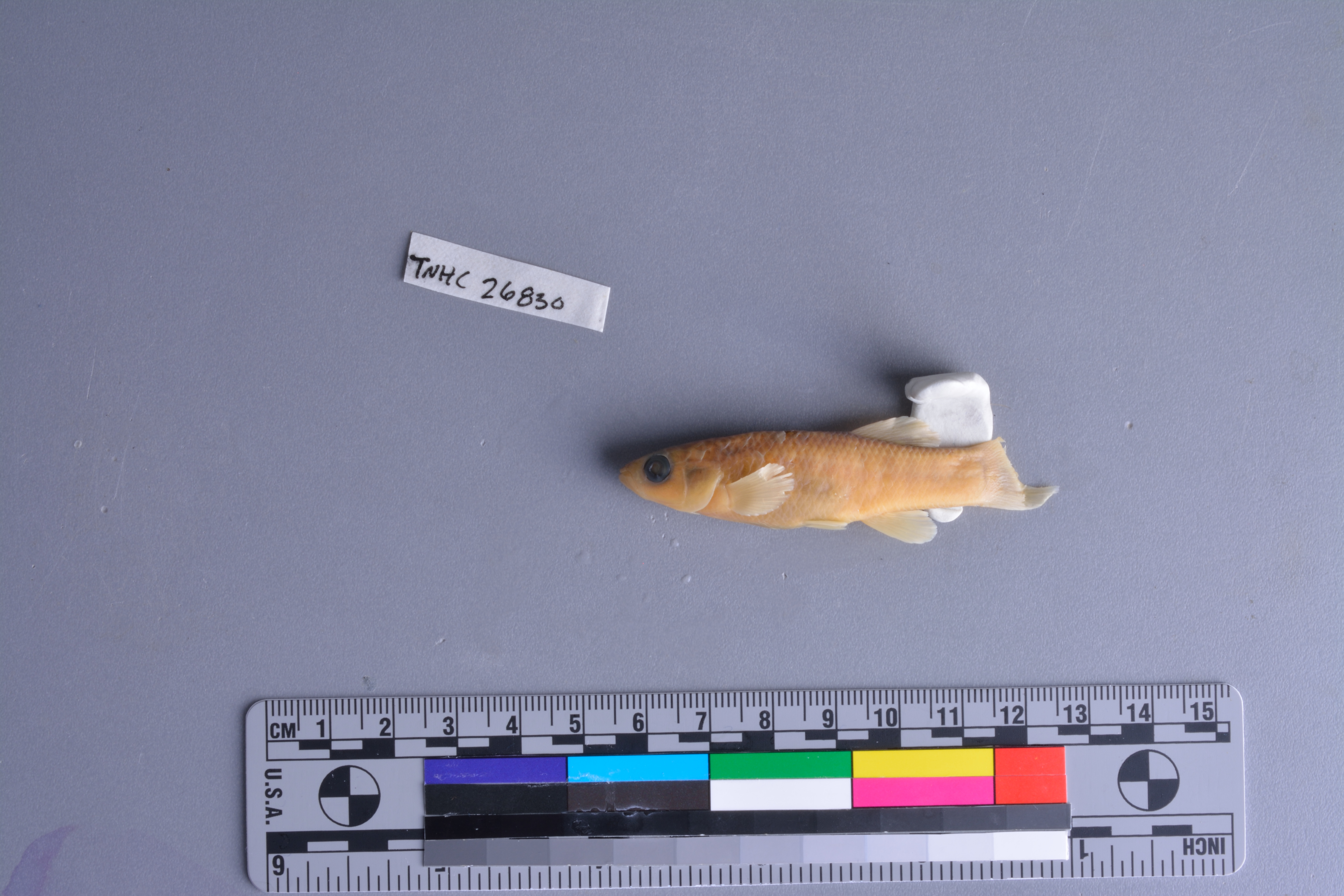
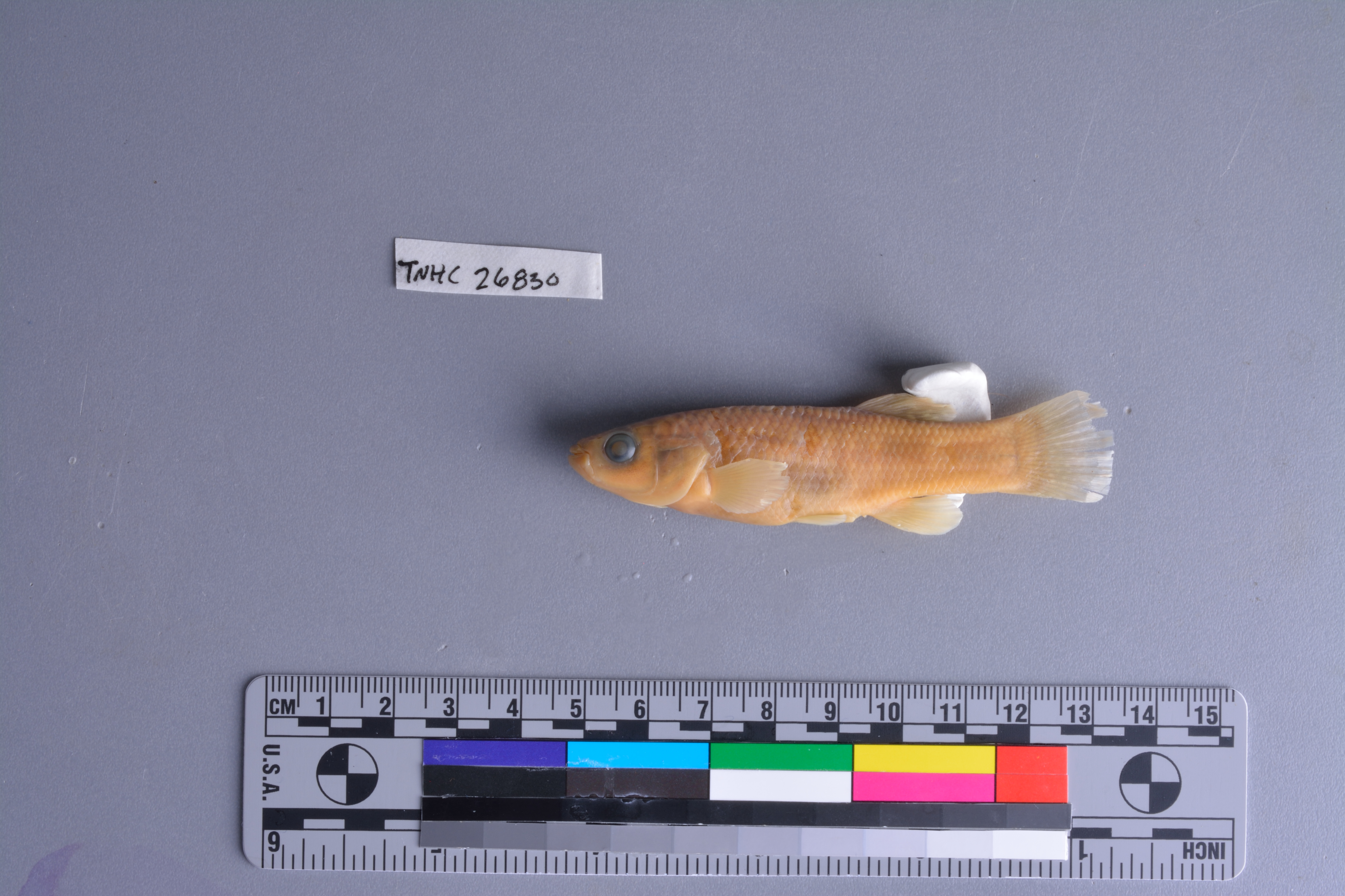
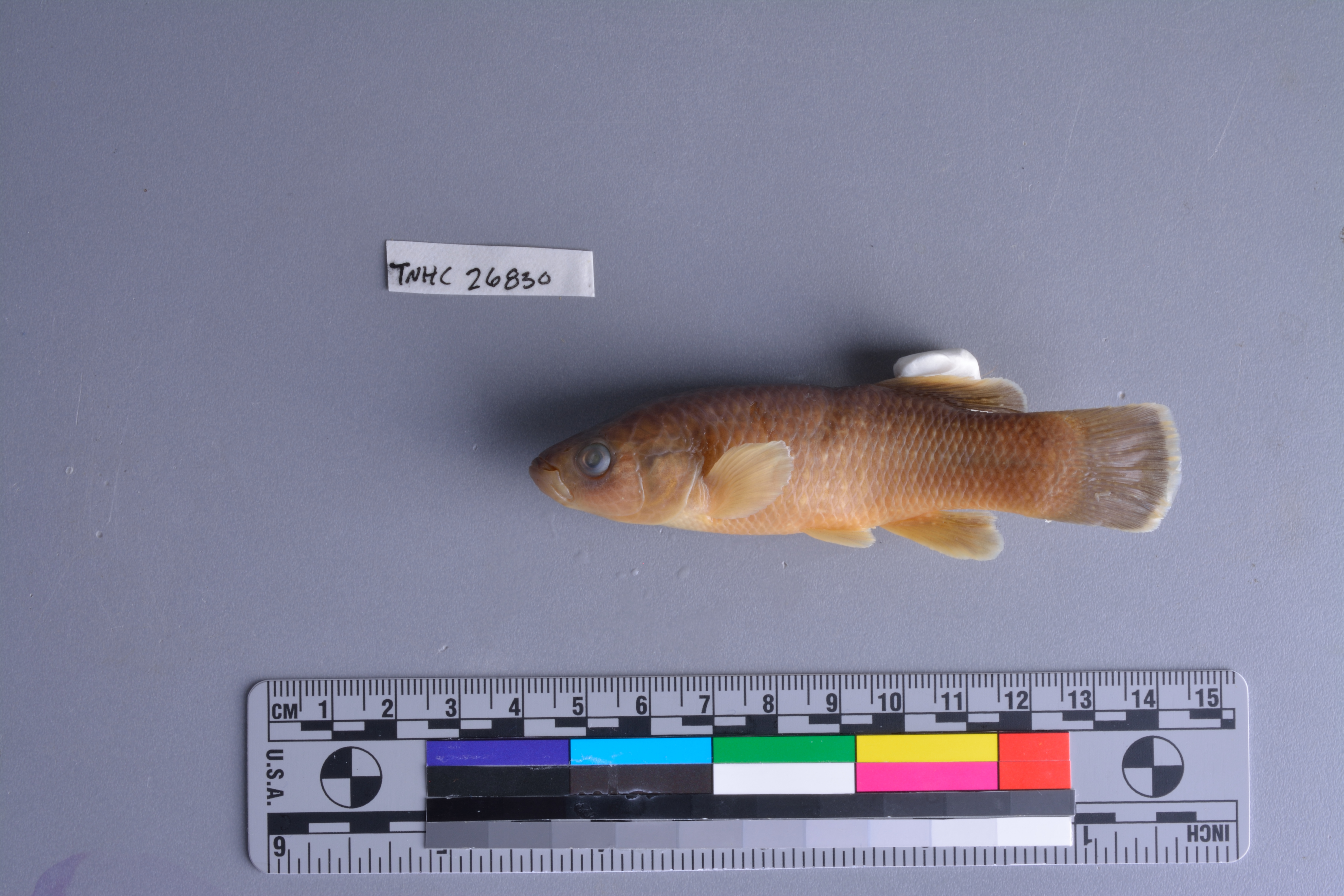
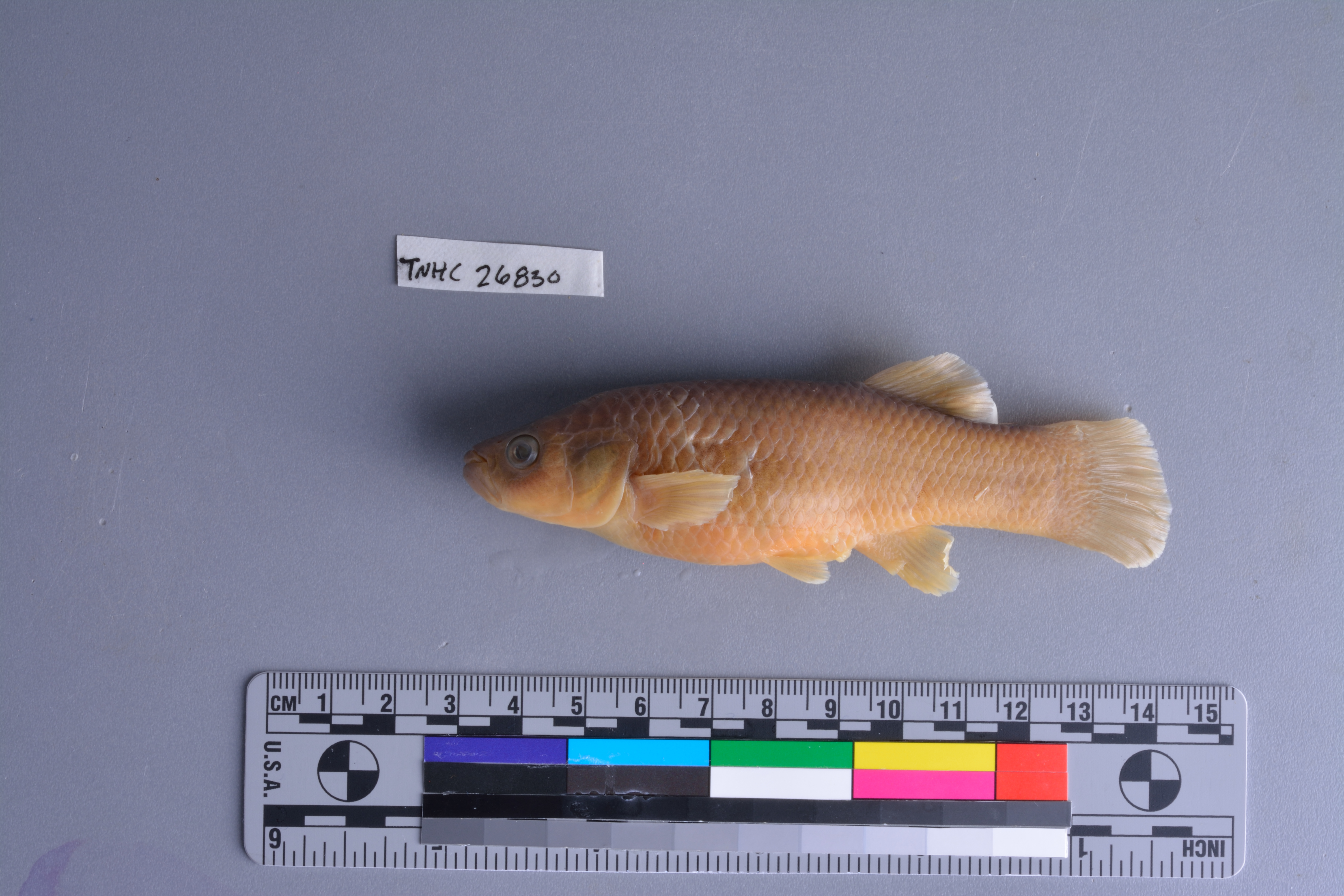
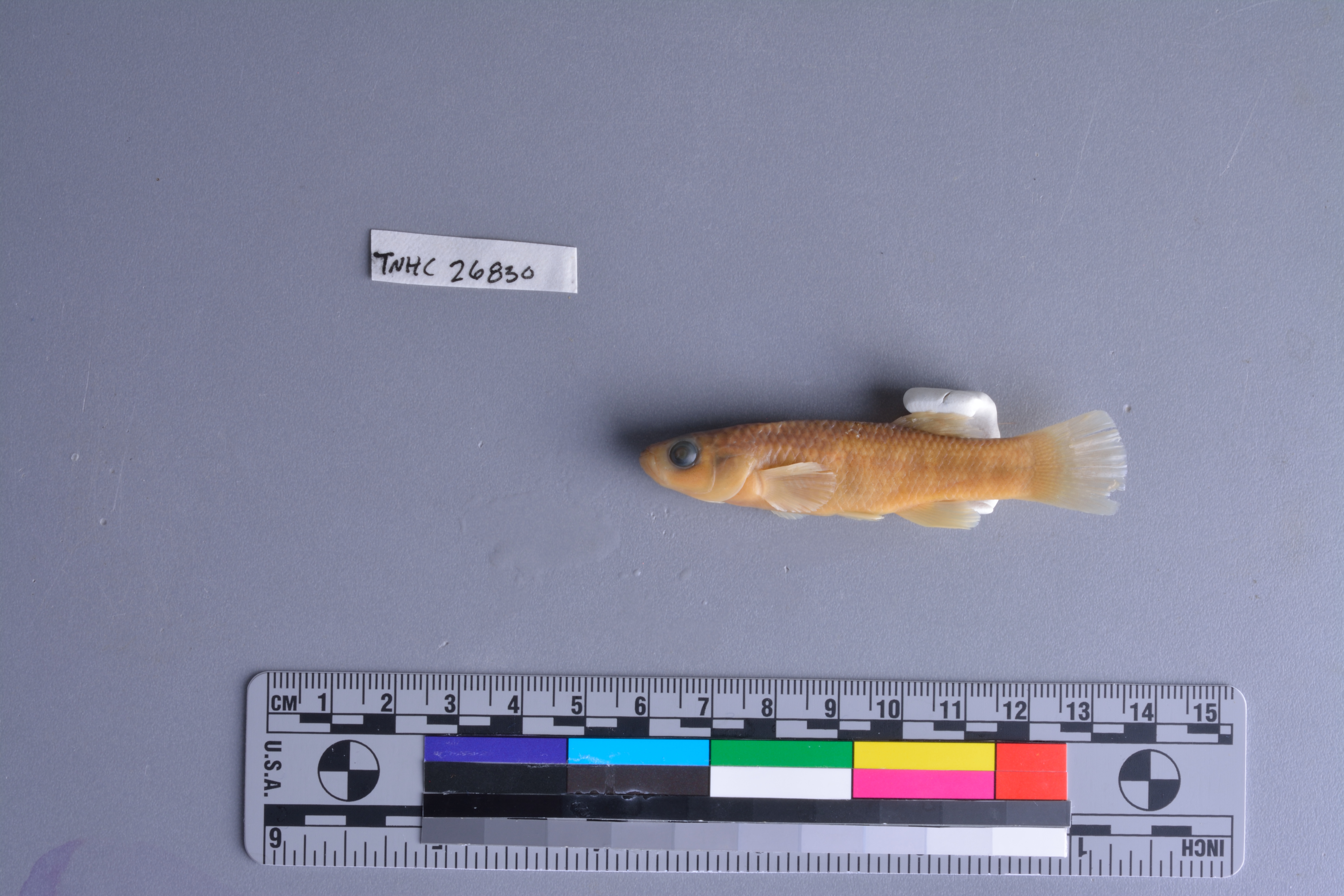
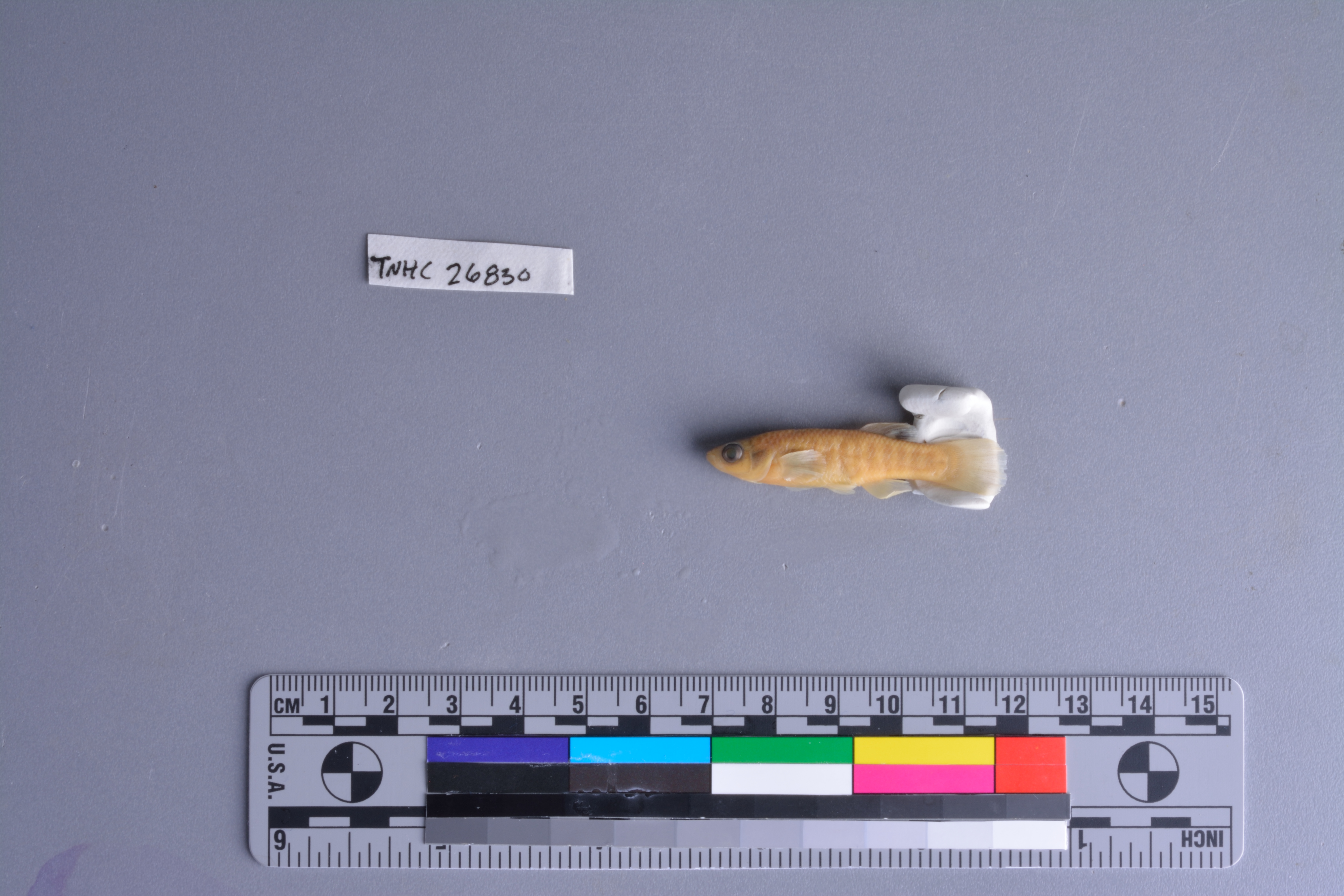
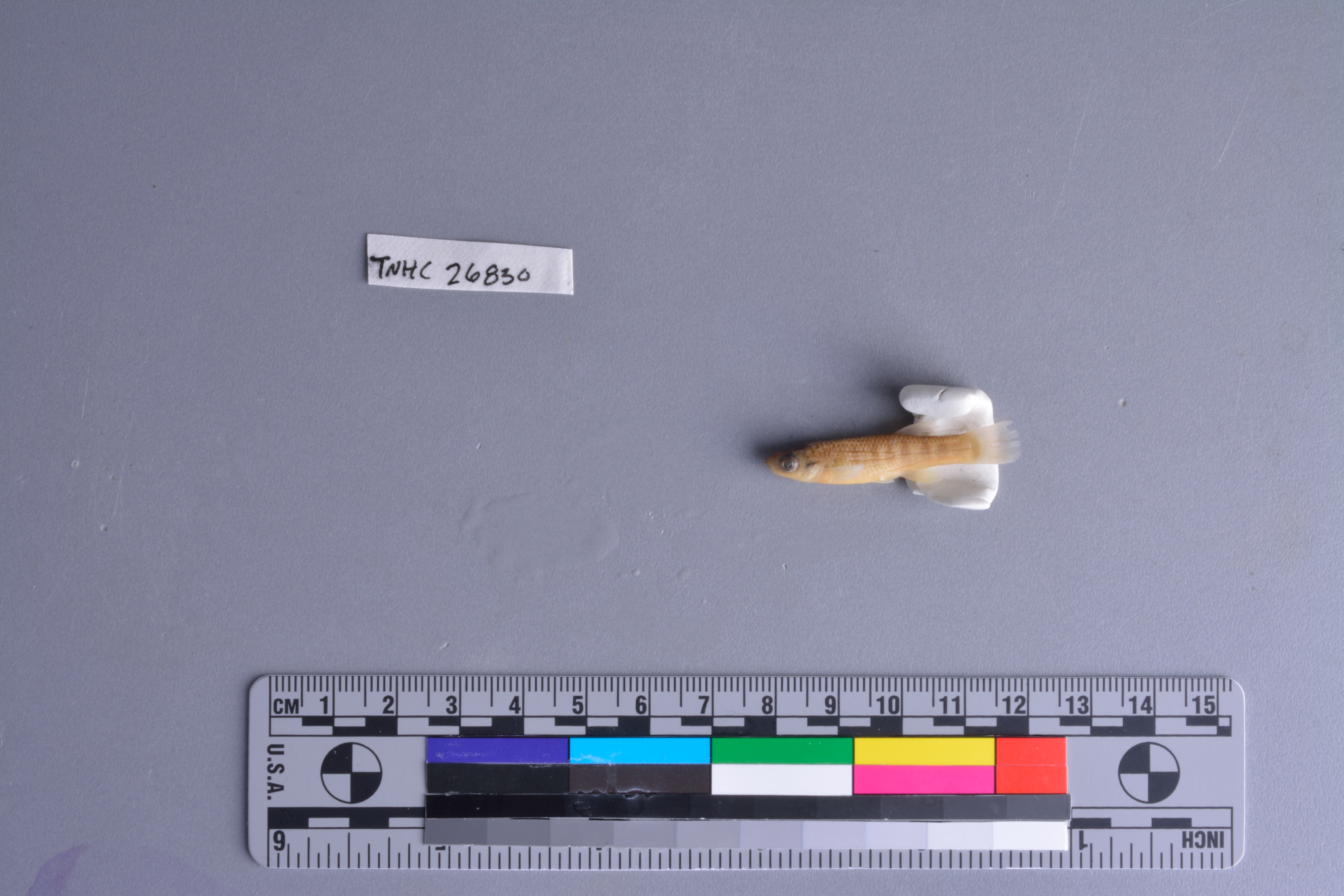
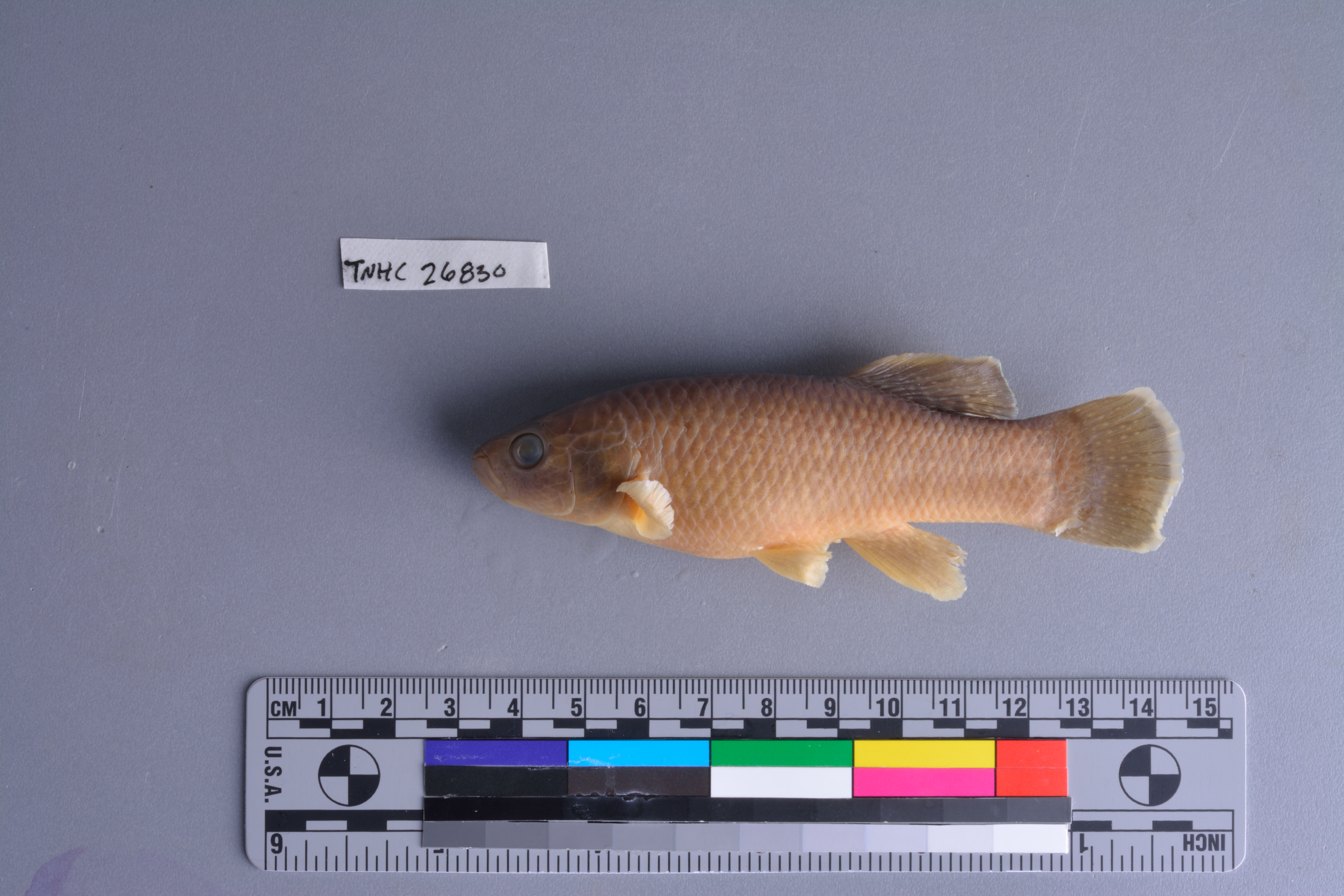
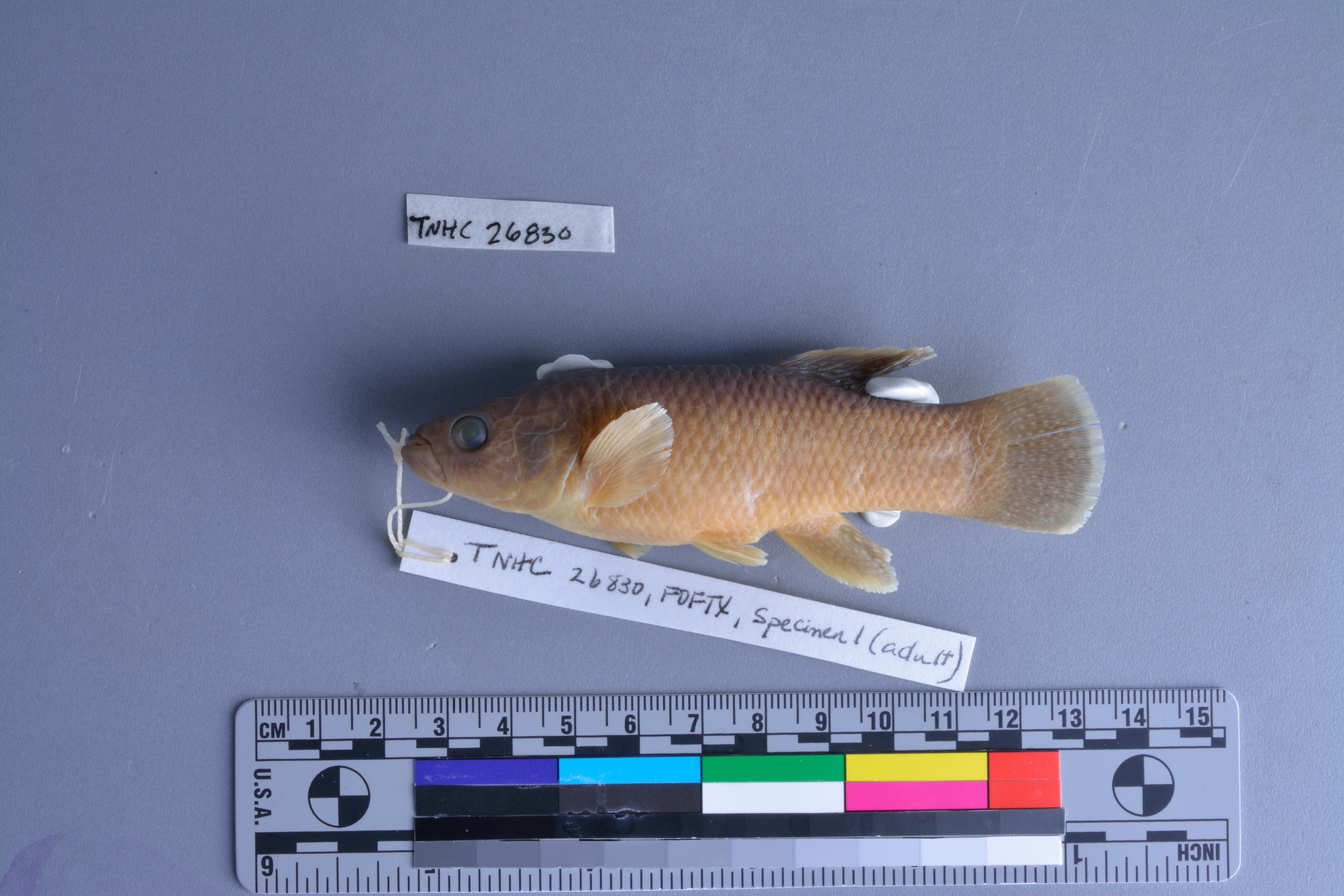
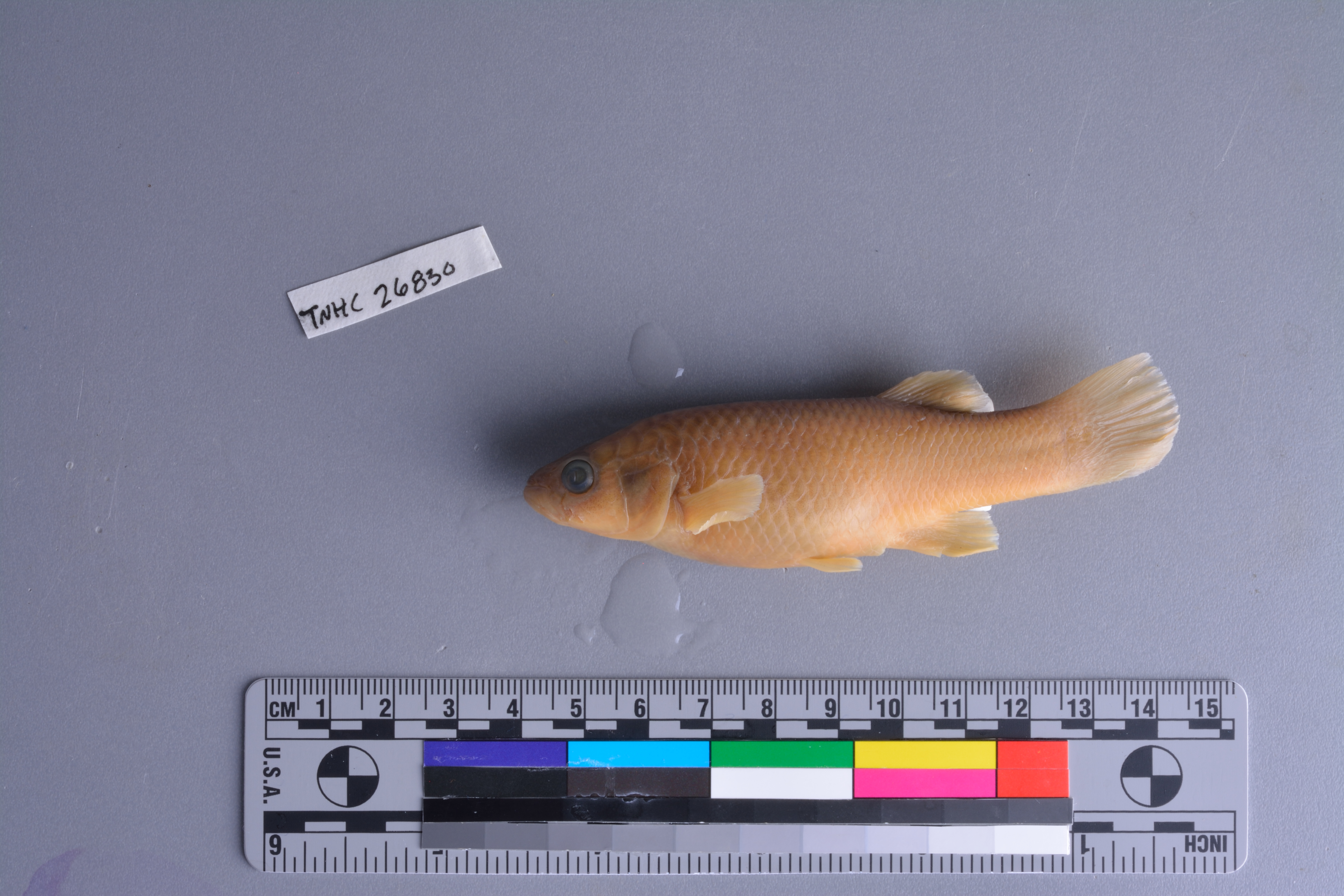
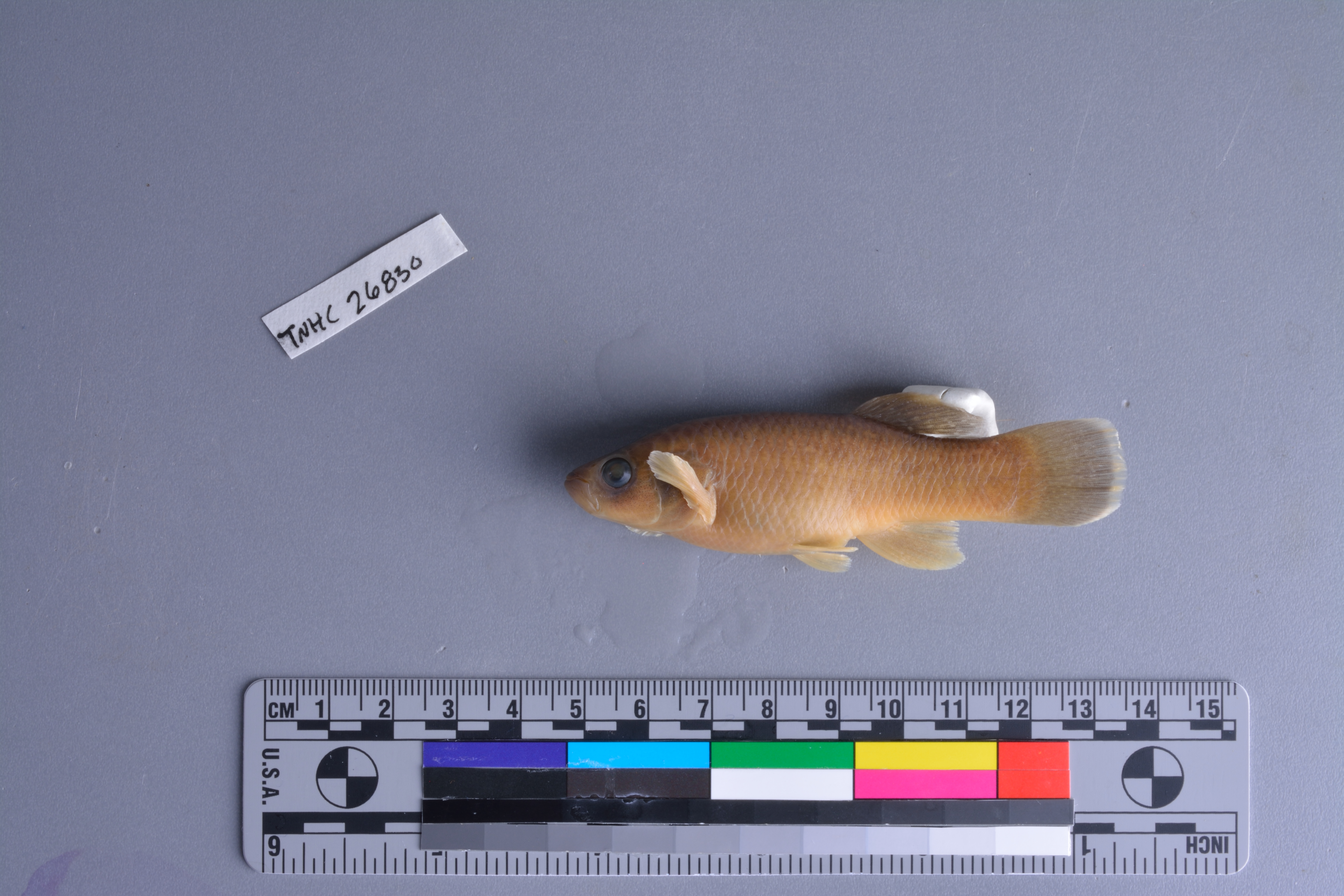
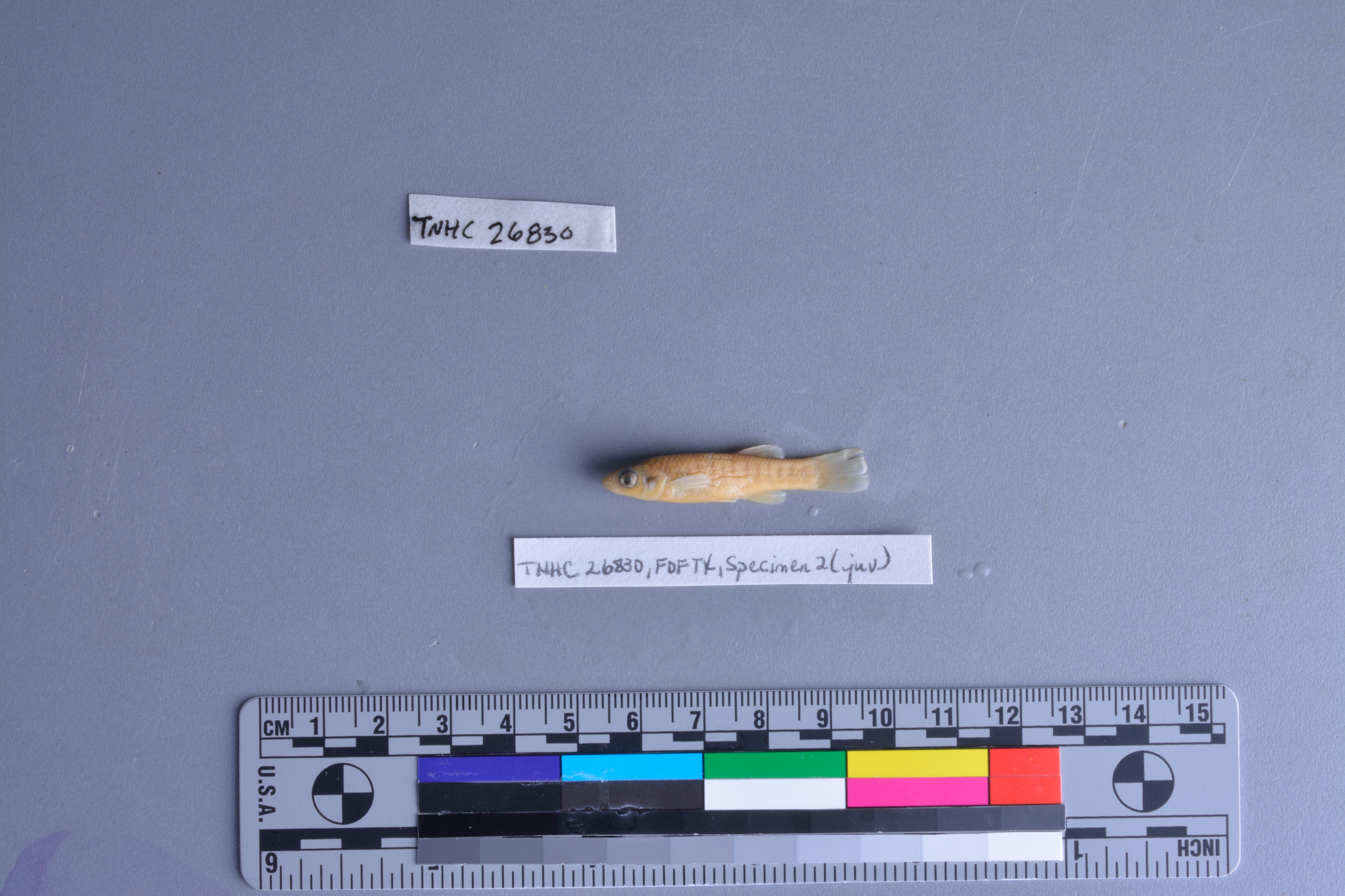
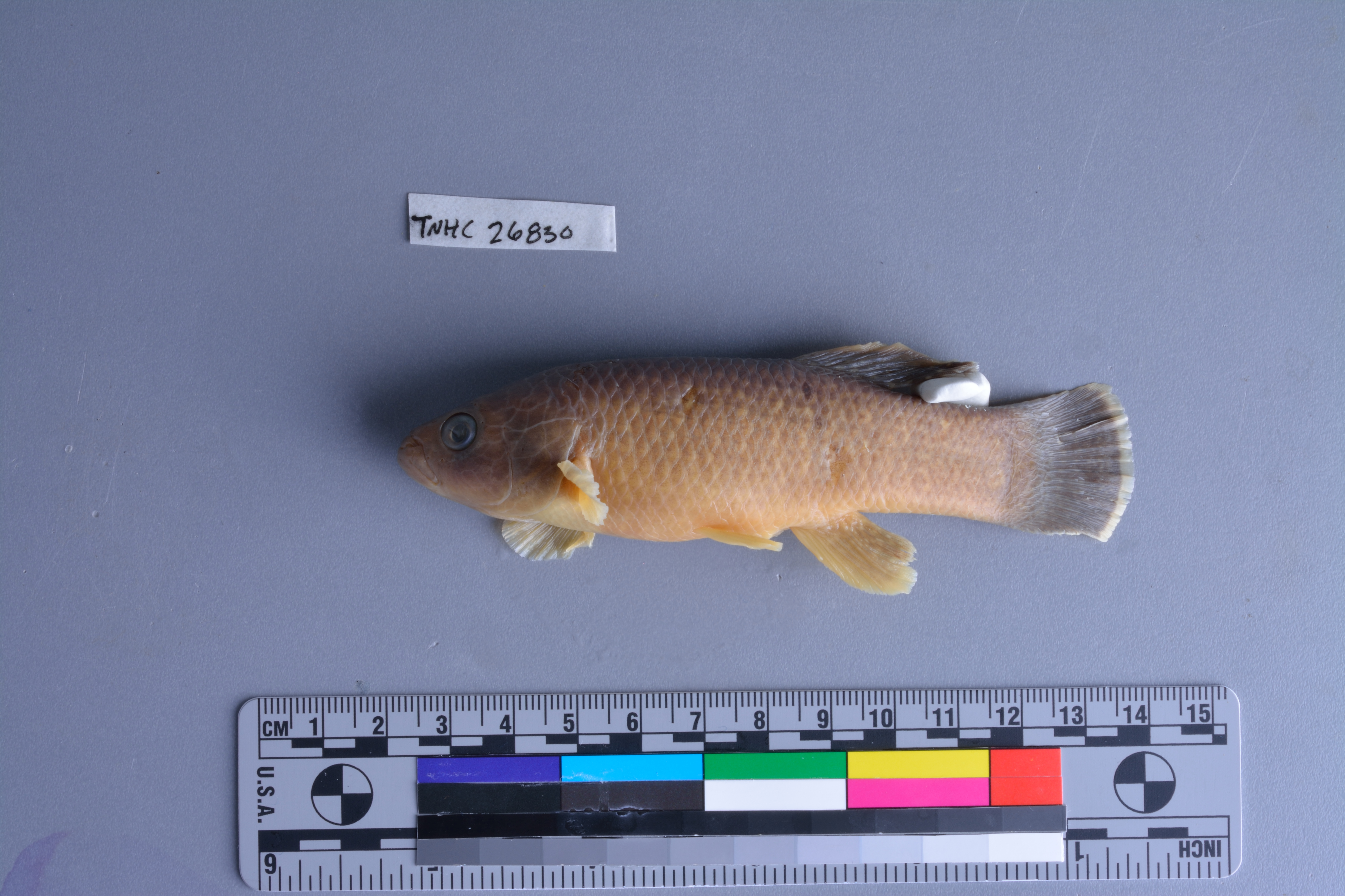
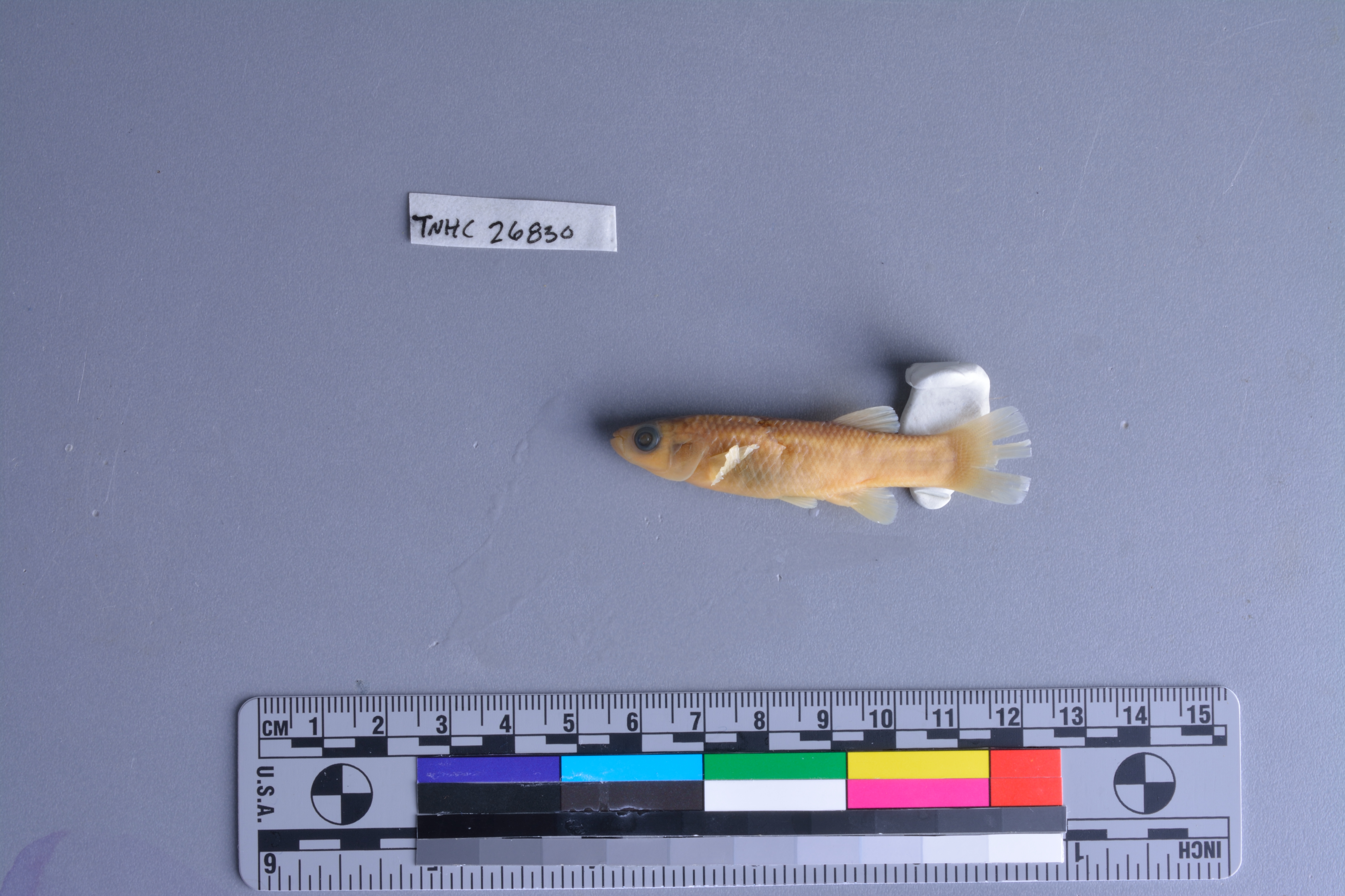
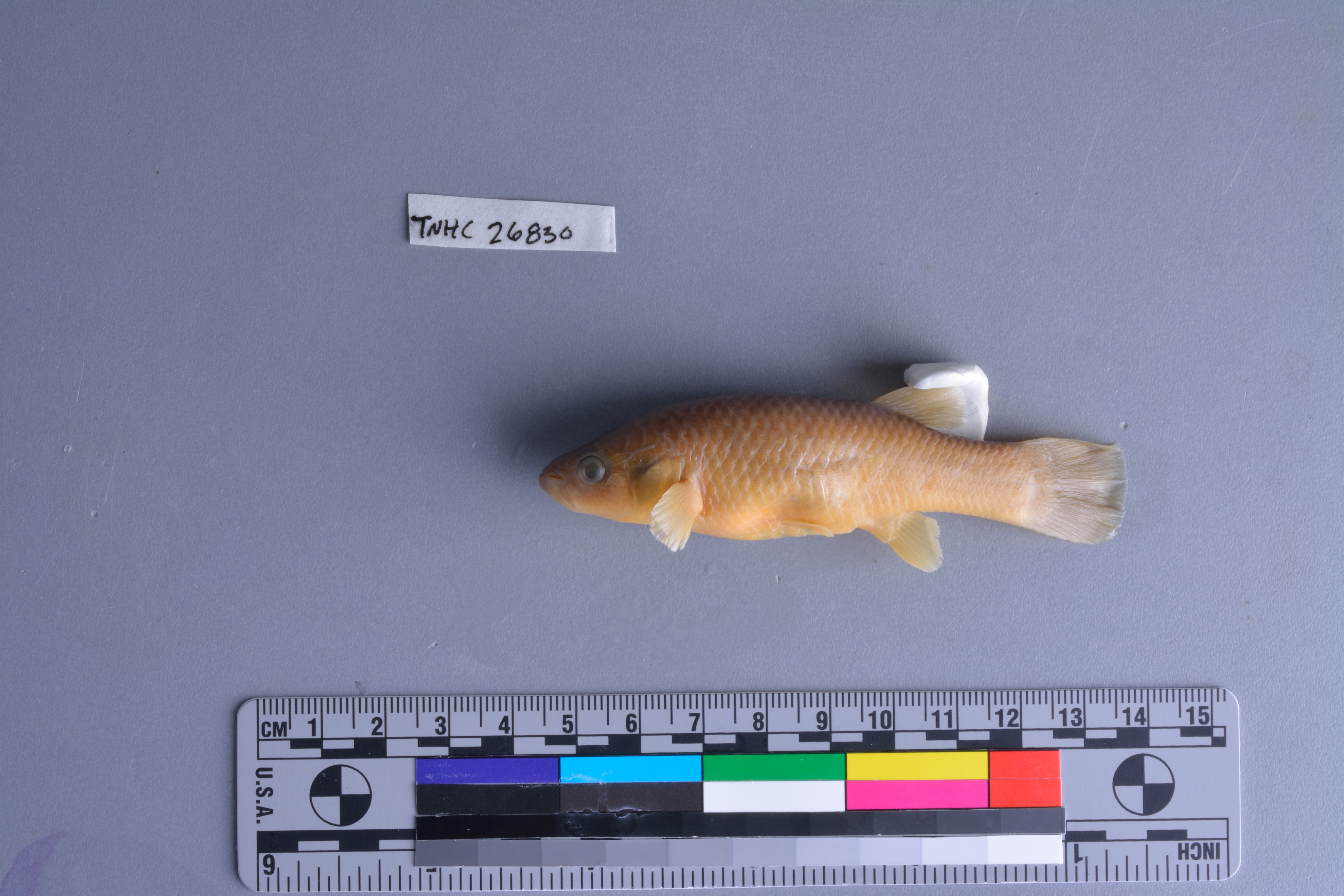
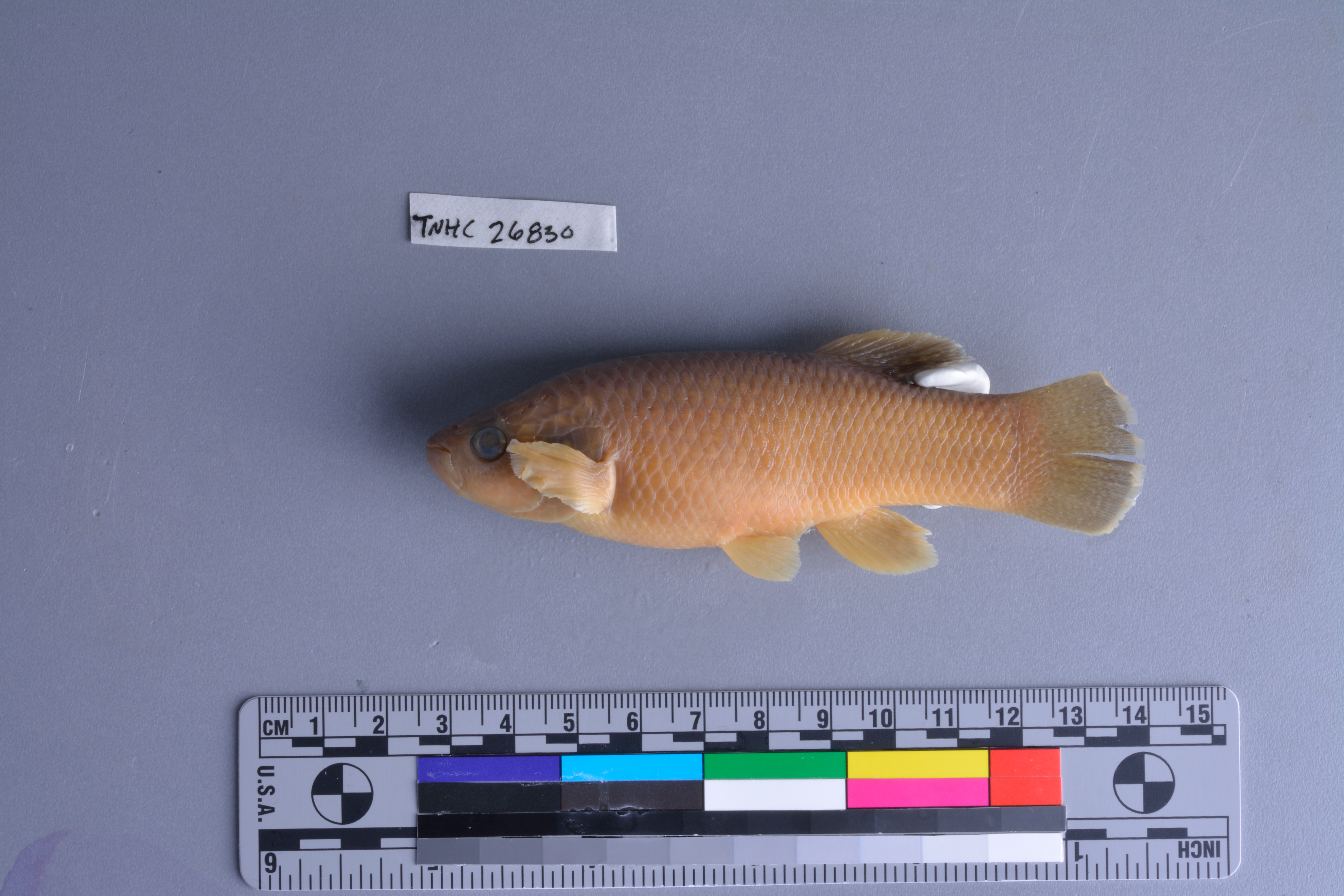
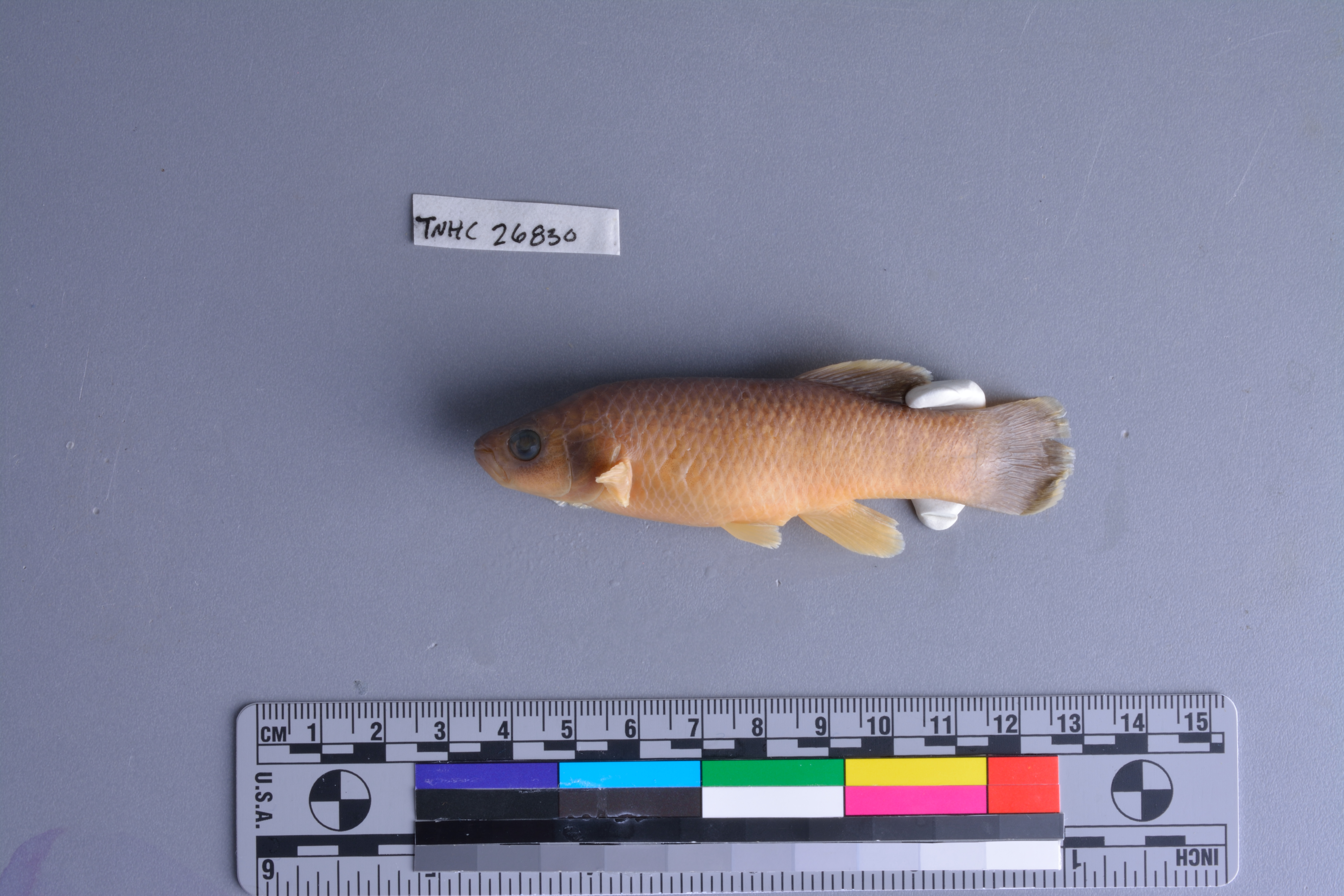
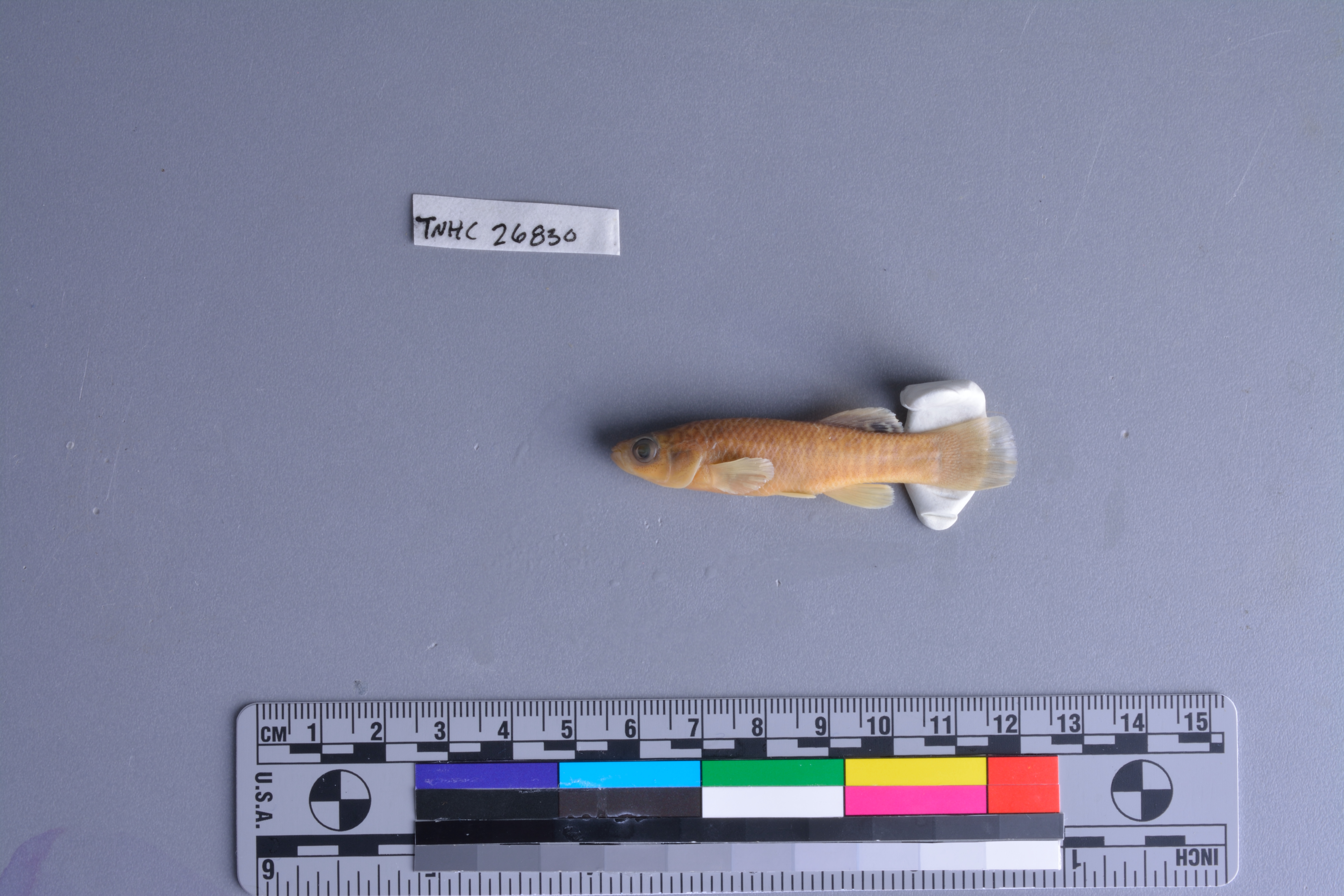
TNHCi_26830
Not suspect, not examinedPhotos
Map
Location
30.80742° N, 101.83562° W
(± 405.3
m)
Taxonomy
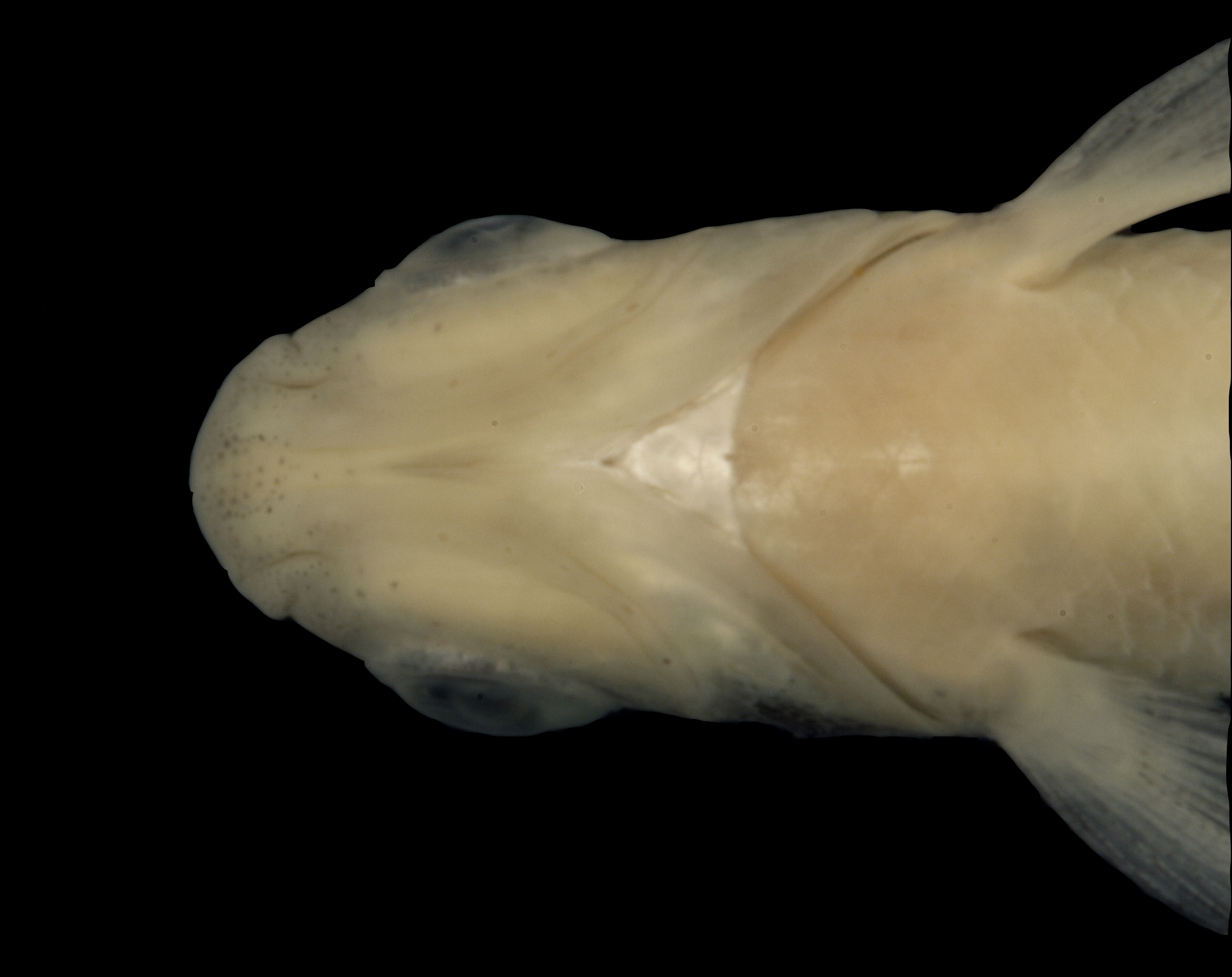
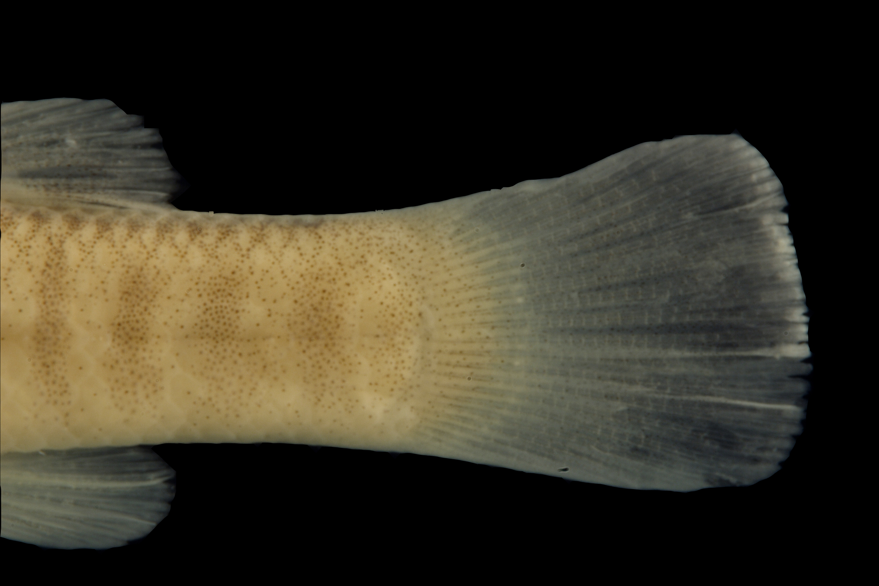
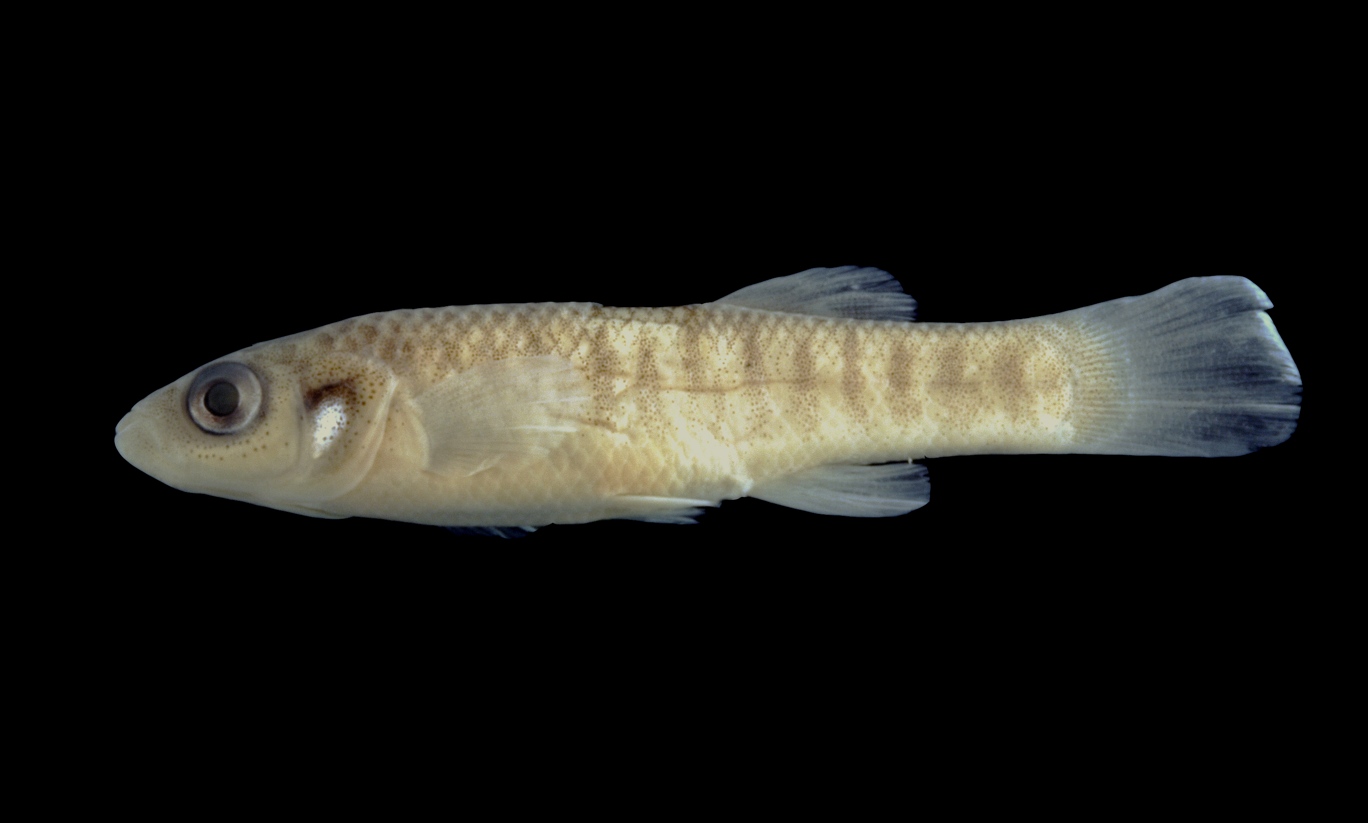
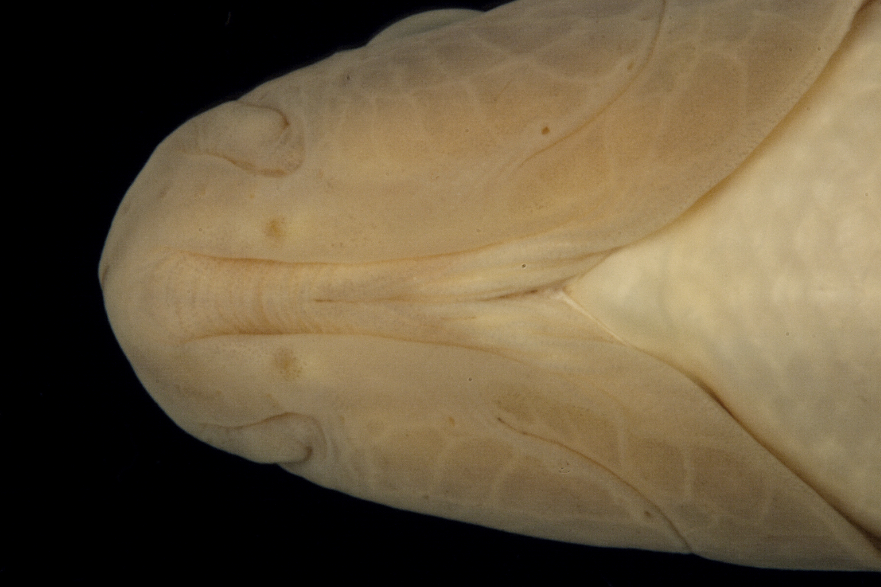
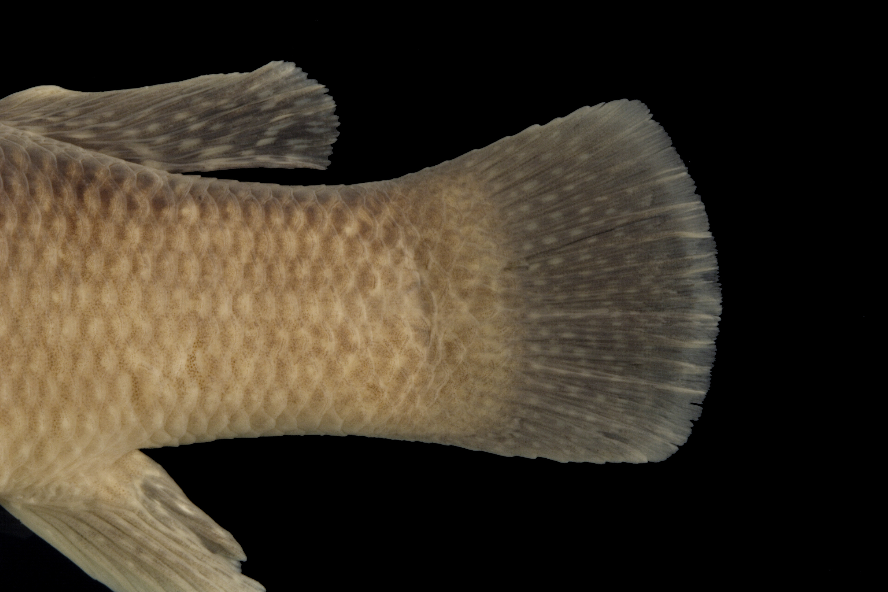
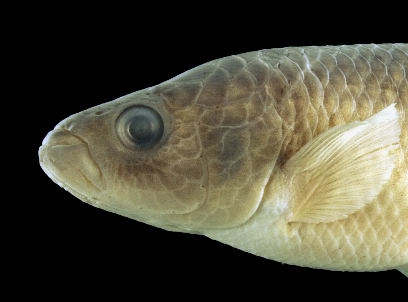
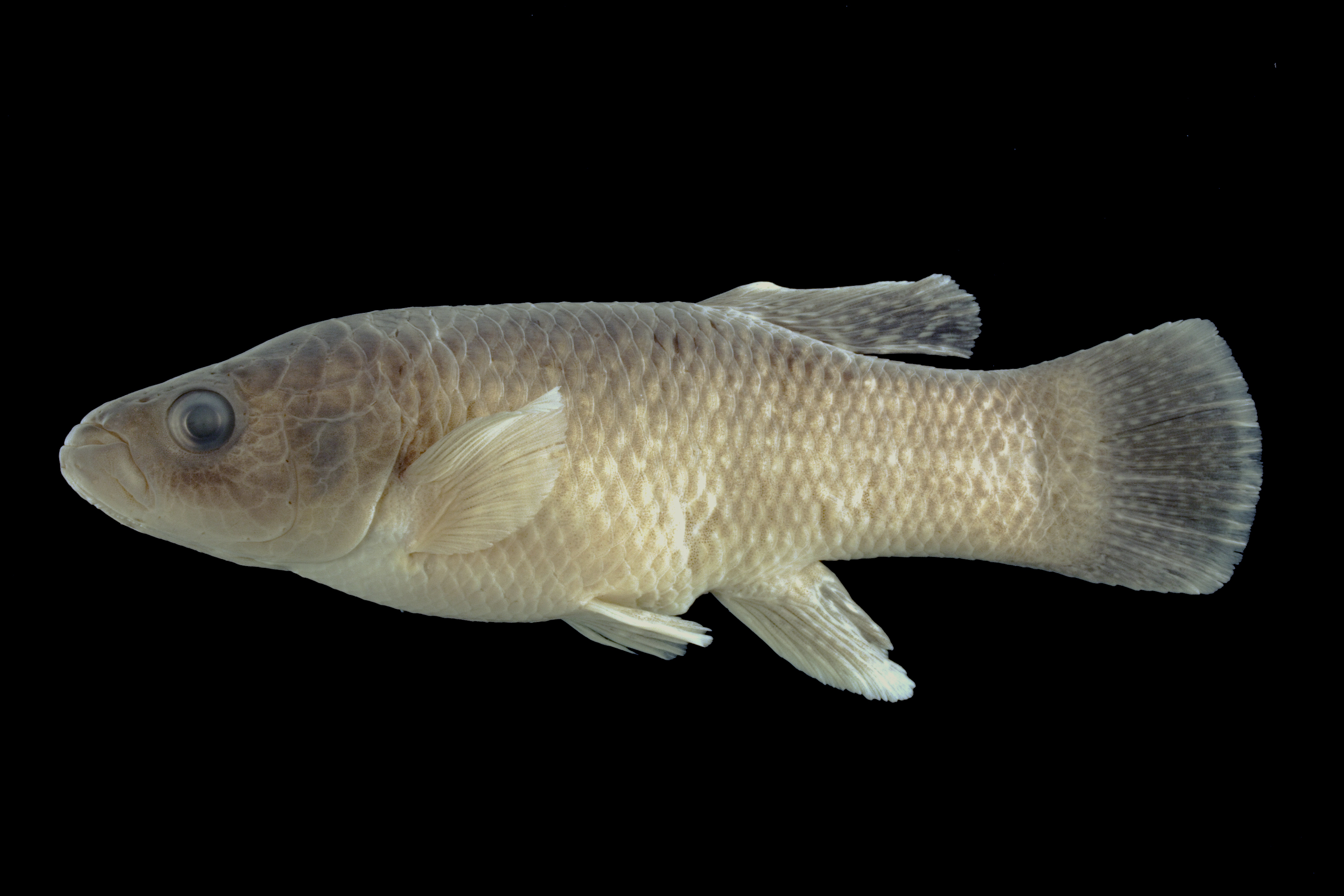
GenusFundulus
Speciesgrandis
Specimen
Num Specimens21
Collection Event
CollectorHoagstrom, C. W.
Collected Date00/Feb/1993
Geography
CountryUnited States
StateTexas
CountyPecos
LocalityLow water crossing south of Iraan, east of HW 349, ~ 8 km North of I10.
Record Source
Source
Texas Natural History Collections
(type: specimens)
Institution
Texas Natural History Collections
(type: museum)
Curator
Dean Hendrickson
Record Added
May 13, 2010
Record Last Modified
March 23, 2026
Data Processing Track
Track 2
From Data Set Received
04/2009 to 10/2010
Identification
Suspect Notes
None
Count
21
Current Determination
Determiner
Fishes of Texas staff
Determination Date
Unknown
Determination Type
Unspecified
Identification Comments
None
Identification Confidence
Unknown
Collecting Event
Collected
Feb. 1, 1993
– Feb. 28, 1993
Collector(s)
Collecting Event ID
6658
Field Notes
There are no field notes available.
Locality
Region
Trans Pecos
Jurisdiction
Pecos, Texas
Name
Unnamed draw 8 km north of IH 10 and east of SH 349
Hydrography
USGS HUC
Rio Grande Region
Lower Pecos
Lower Pecos
Pecos
Simpson Canyon-Pecos River
Riffle Canyon-Pecos River
HydroBASINS
7521
752161
75216137
7521613701
752161370110
Captive
no
Locality Photos
No locality photos available.
flag (suspect/examine)
suspect: noexamination: no
date
date_range: 2/1/1993-2/28/1993
collectors
collectors: Hoagstrom, Christopher W.
collectors
collectors: Christopher W. Hoagstrom
date
date_range: 2/1/1993-2/28/1993
staff comment
ID Status: Not flagged for specimen examination. By default we accept donor specimen determinations (after synonymization to our taxonomy). If georeferenced to TX this record has been considered in spatial context with other occurences of this species and accepted as correct.
ID Comments: NA
georeference
Error: 405.324564001621Locality: Unnamed draw 8 km north of IH 10 and east of SH 349Coordinates: 30.807422001;-101.835615024Georeferencer: AECGeographic note: Inland USA Texas
Comments On TNHCi_26830