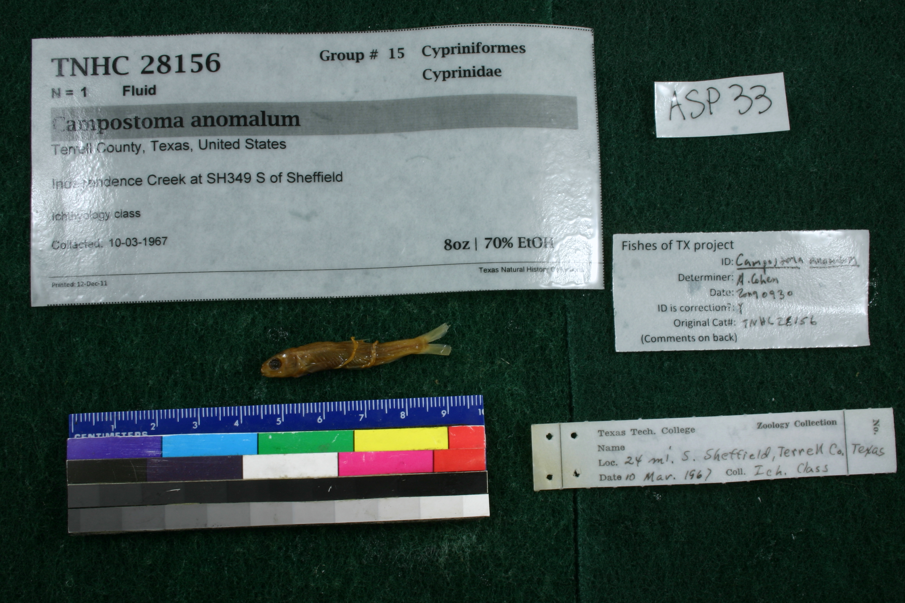
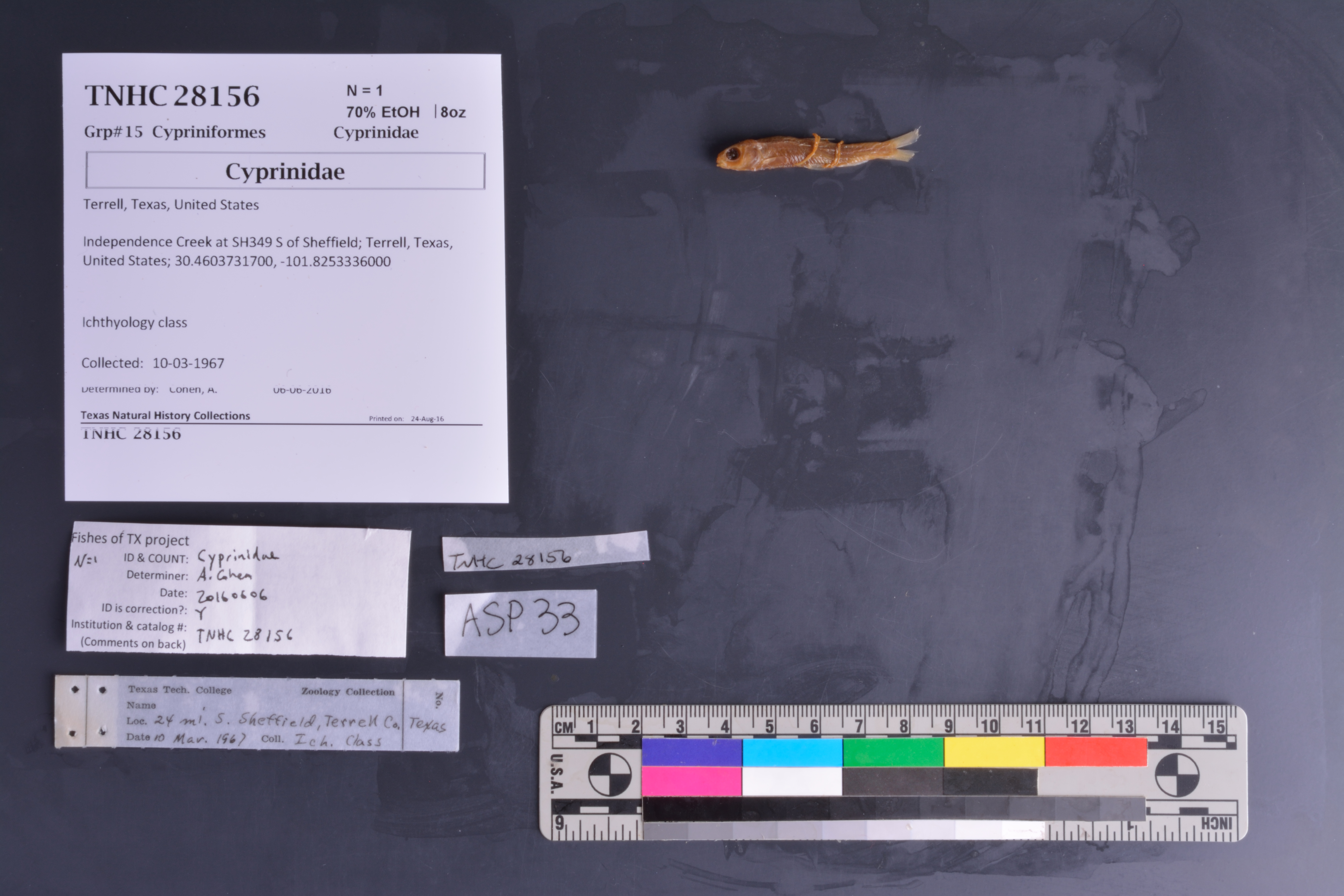
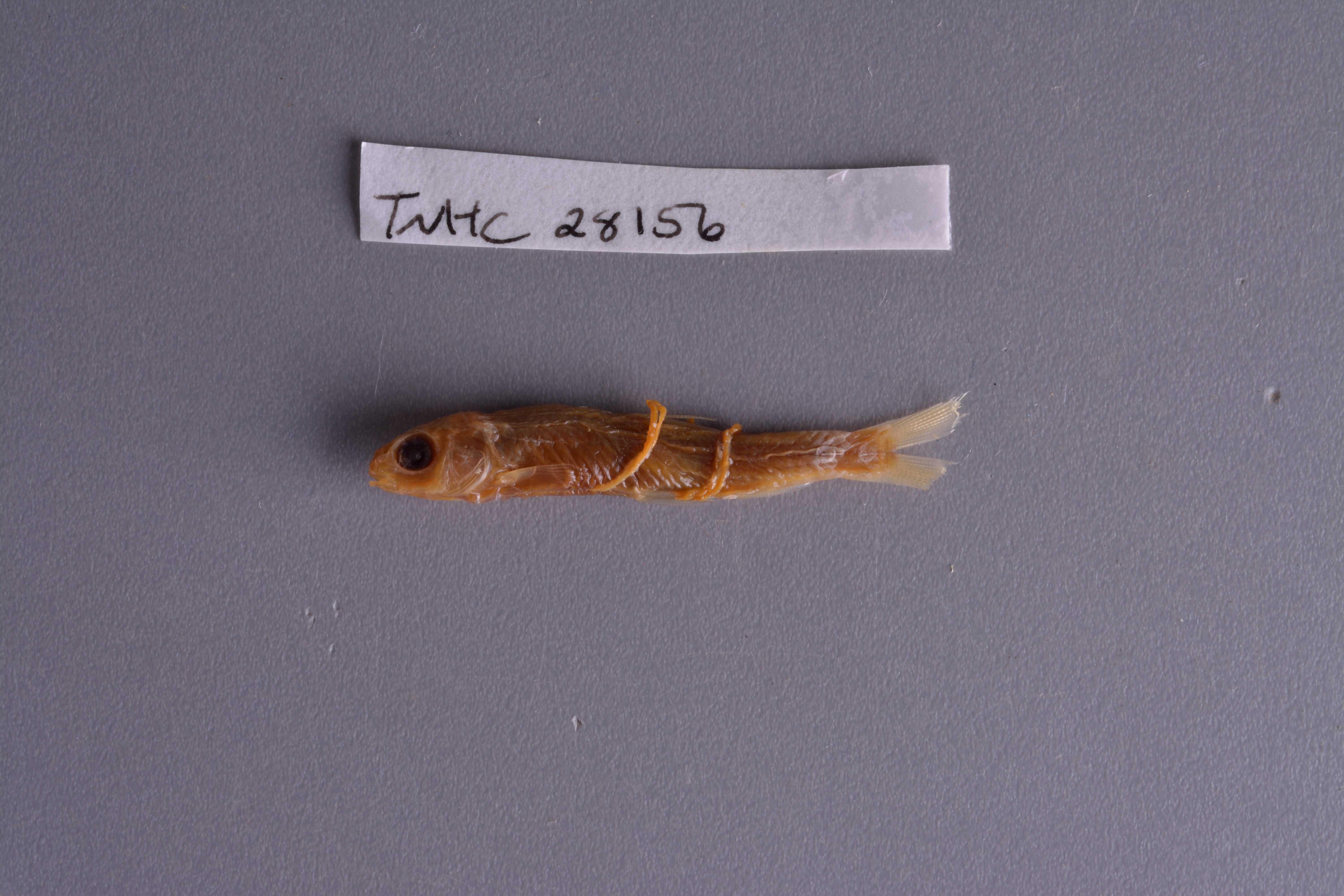
TNHCi_28156
Not suspect, examinedPhotos
Map
Location
30.46022° N, 101.82533° W
(± 18198.5
m)
Specimen
Num Specimens1
Identification
DeterminerIchthyology Class 1967
Collection Event
CollectorIchthyology Class
Collected Date1967.3.10
Geography
CountryUnited States
StateTexas
CountyTerrell
LocalityIndependence Creek , 24 mi S of Sheffield at State Hwy 349
Record Source
Source
Texas Natural History Collections
(type: specimens)
Institution
Texas Natural History Collections
(type: museum)
Curator
Dean Hendrickson
Record Added
May 13, 2010
Record Last Modified
March 23, 2026
Data Processing Track
Track 2
From Data Set Received
04/2009 to 10/2010
Identification
Suspect Notes
None
Count
1
Current Determination
Determiner
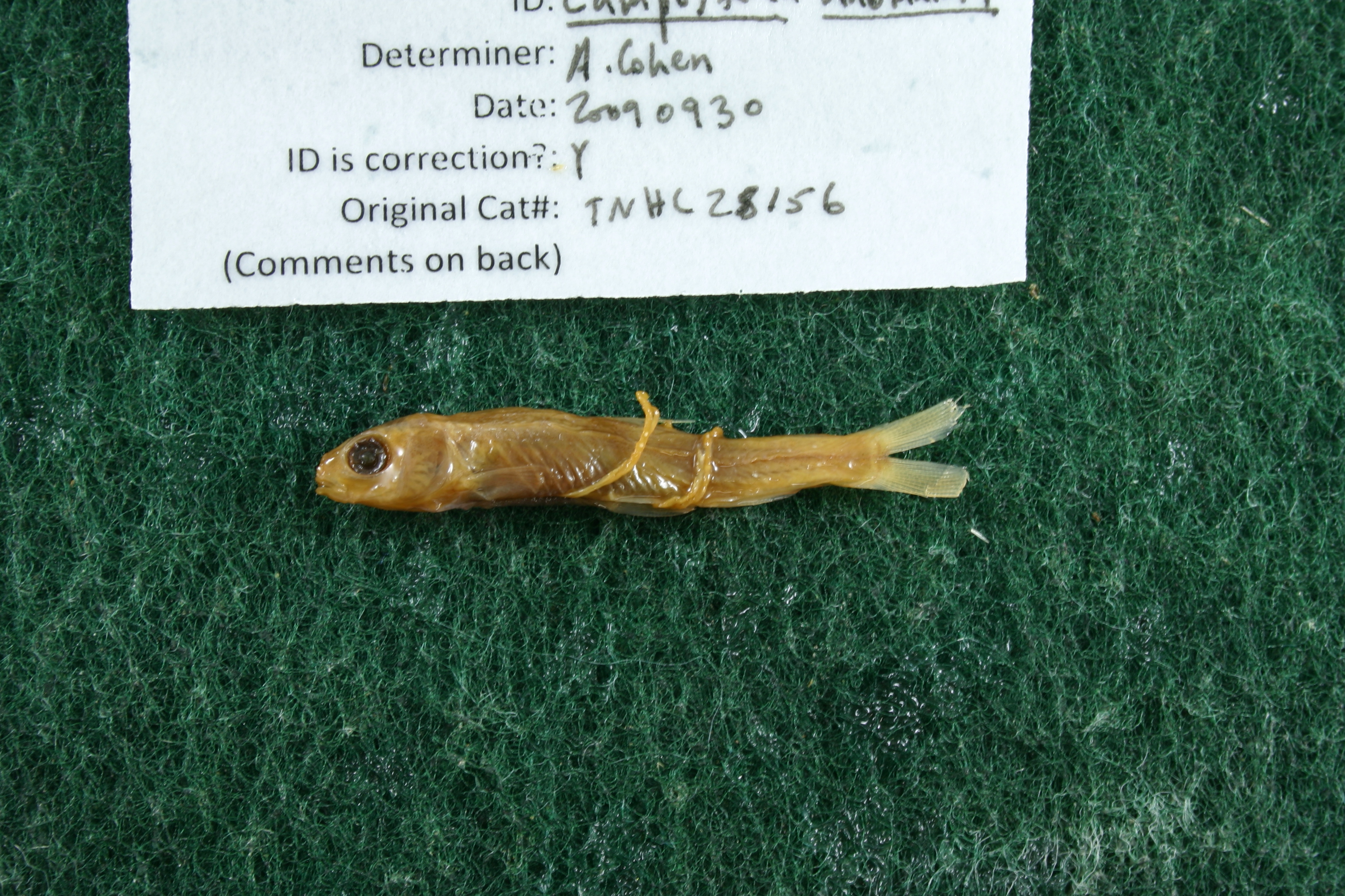
Adam Cohen
Determination Date
Feb. 11, 2016
Determination Type
specimen examination
Identification Comments
ID complete | specimen appears to have been dried and rehydrated; anal count not possible; long intestine and cartilaginous ridge on lower lip
Identification Confidence
Unknown
Previous Determination
Determiner
Adam Cohen
Determination Date
Feb. 11, 2016
Determination Type
specimen examination
Identification Comments
ID complete | probably Dionda argentosa or Campostoma anomalum but is dried and difficult to see needed; Roy Kleinsasser concurs with ID (Aug 30, 2016) and adds 'Poor condition. More likely Dionda argentosa than C. anomalum due to: 1) relationship of dorsal and pelvic fins, 2) lack of apparent cartilage ridge and 3) frequency of occurrence of D. argentosa'
Identification Confidence
High
Collecting Event
Collected
March 10, 1967
Collector(s)
Collecting Event ID
7721
Field Notes
There are no field notes available.
Locality
Region
Trans Pecos
Jurisdiction
Terrell, Texas
Name
Independence Creek south of Sheffield
Hydrography
Rio Grande Region
Lower Pecos
Lower Pecos
Independence
Middle Independence Creek
Oil Well Canyon-Independence Creek
Captive
no
Locality Photos
No locality photos available.
flag (suspect/examine)
note: Previously examined and can't resolve to species level. ID cannot be made to species level at this time
Examination: Examined
flag (suspect/examine)
suspect: noexamination: yes
date
date_range: 3/10/1967-3/10/1967
collectors
collectors: Ichthyology class
collectors
collectors: Ichthyology class
date
date_range: 3/10/1967-3/10/1967
staff comment
ID Status: Specimen examined and ID'ed for FoTX project
ID Comments: specimen appears to have been dried and rehydrated; anal count not possible; long intestine and cartilaginous ridge on lower lip
georeference
Error: 43.659Locality: Independence Creek at SH349 S of SheffieldCoordinates: 30.460373171;-101.825333572Georeferencer: BJLGeographic note: Inland USA Texas
Comments On TNHCi_28156