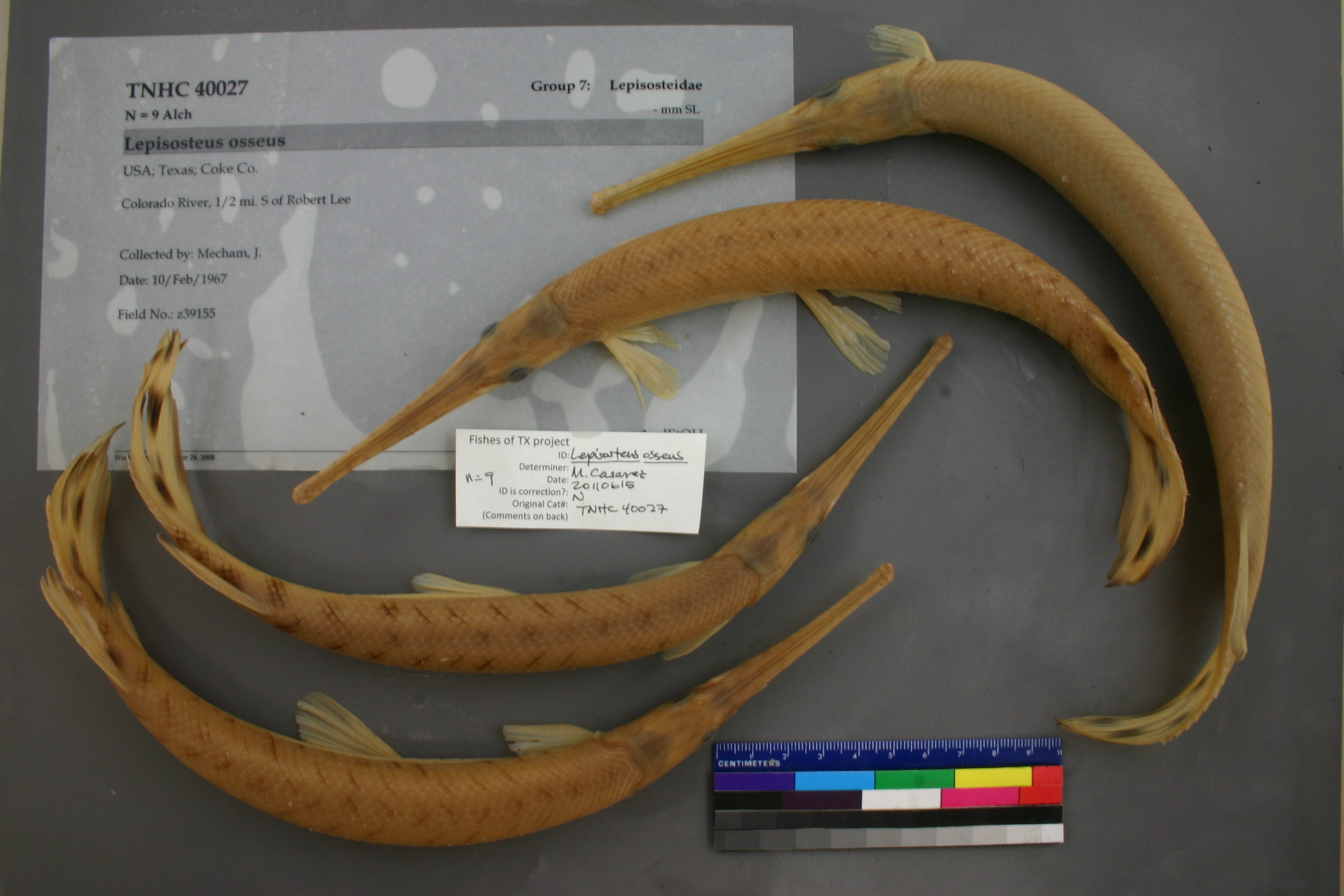
TNHCi_40027
Not suspect, examinedPhotos
Map
Location
31.88226° N, 100.48421° W
(± 1156.6
m)
Taxonomy
FamilyLepisosteidae
GenusLepisosteus
Speciesosseus
Specimen
Num Specimens9
Collection Event
CollectorMecham, J.
Collected Date1967.2.10-1967.2.10
Field Numberz39155
Geography
DrainageColorado
CountryUSA
StateTexas
CountyCoke
LocalityColorado River, 1/2 mi. S of Robert Lee
Other
QuestionableNo
CurrentYes
NoTTM 0010
YearMC/2008
RemarksDonation from Texas Tech University most specimens cut on lateral side
SalinityF
Record Source
Source
Texas Natural History Collections
(type: specimens)
Institution
Texas Natural History Collections
(type: museum)
Curator
Dean Hendrickson
Record Added
April 23, 2015
Record Last Modified
March 23, 2026
Data Processing Track
Track 2
From Data Set Received
04/2009 to 10/2010
Identification
Suspect Notes
None
Count
9
Current Determination
Determiner
Melissa Casarez
Determination Date
Feb. 11, 2016
Determination Type
specimen examination
Identification Comments
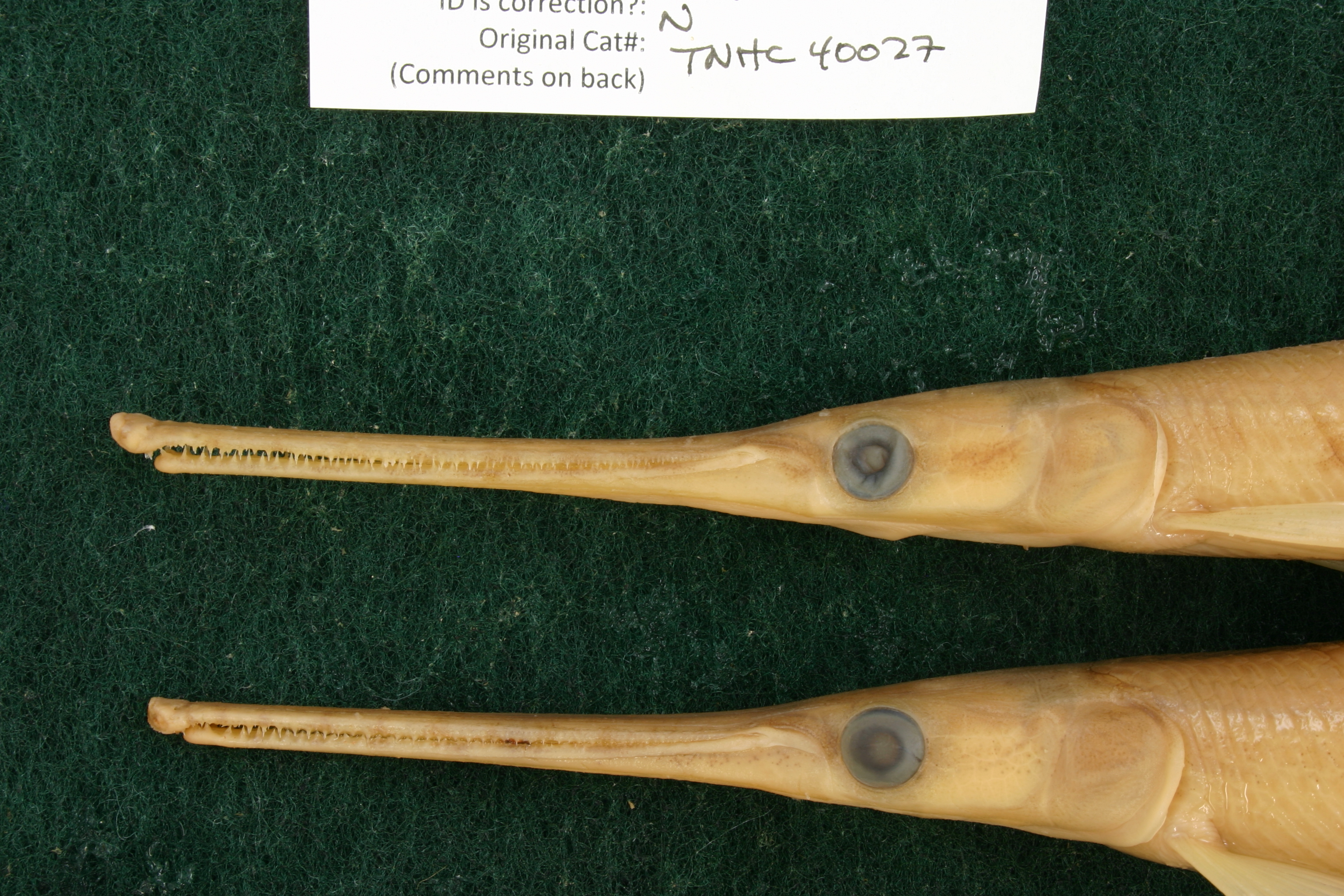
Specimen examined and Id'ed for FoTX project. | ID notes: lateral line scales: 62,63; *note for SL measurements that gar have heterocercal tails - all length measurements are based on SL and are approximate; MinSL(mm): 244; MaxSL(mm): 311; Jar: 1 gallon; Specimen condition: good; Mutations: none; Count Male: ; Count female: ; Extern parasites: n
Identification Confidence
High
Collecting Event
Collected
Feb. 10, 1967
Collector(s)
Collecting Event ID
9547
Field Notes
There are no field notes available.
Locality
Region
Rolling Plains
Jurisdiction
Coke, Texas
Name
Colorado River south of Robert Lee
Hydrography
Texas-Gulf Region
Upper Colorado
Upper Colorado
Upper Colorado
Kickapoo Creek-Colorado River
Messbox Creek-Colorado River
Captive
no
Locality Photos
No locality photos available.
flag (suspect/examine)
suspect: noexamination: yes
date
date_range: 2/10/1967-2/10/1967
date
date_range: 2\10\1967-2\10\1967
collectors
collectors: Mecham, John S.
Comments On TNHCi_40027