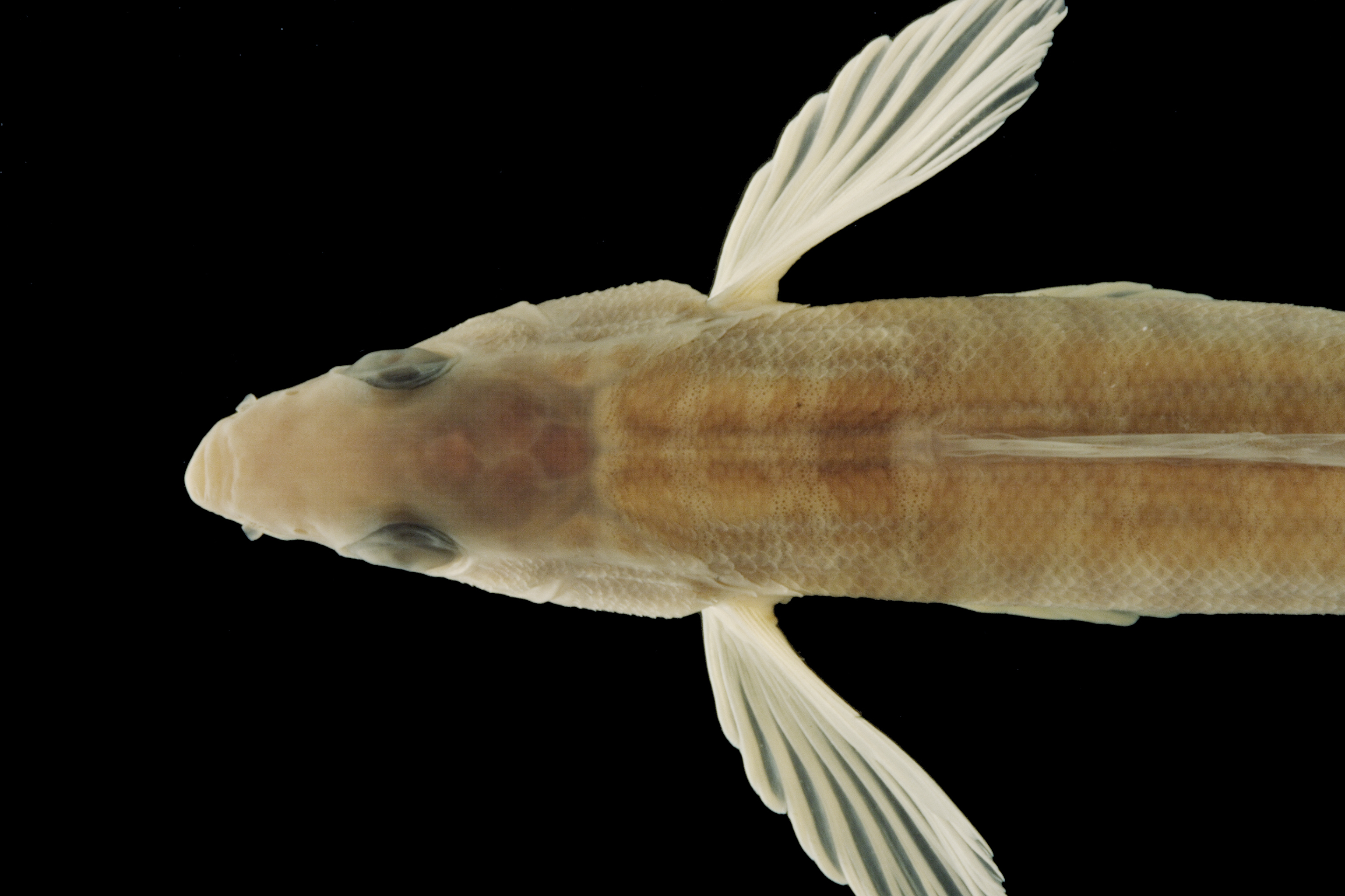
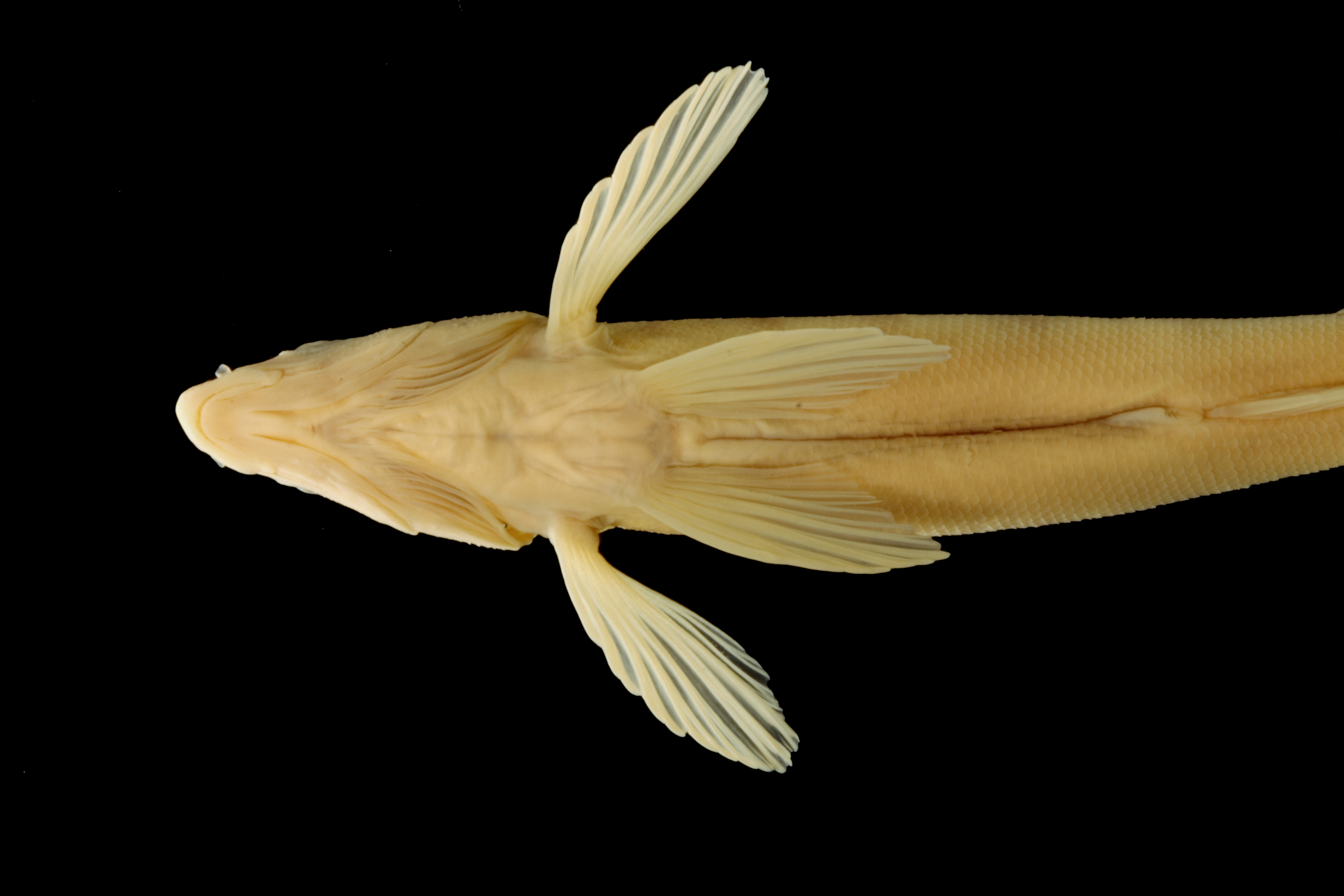
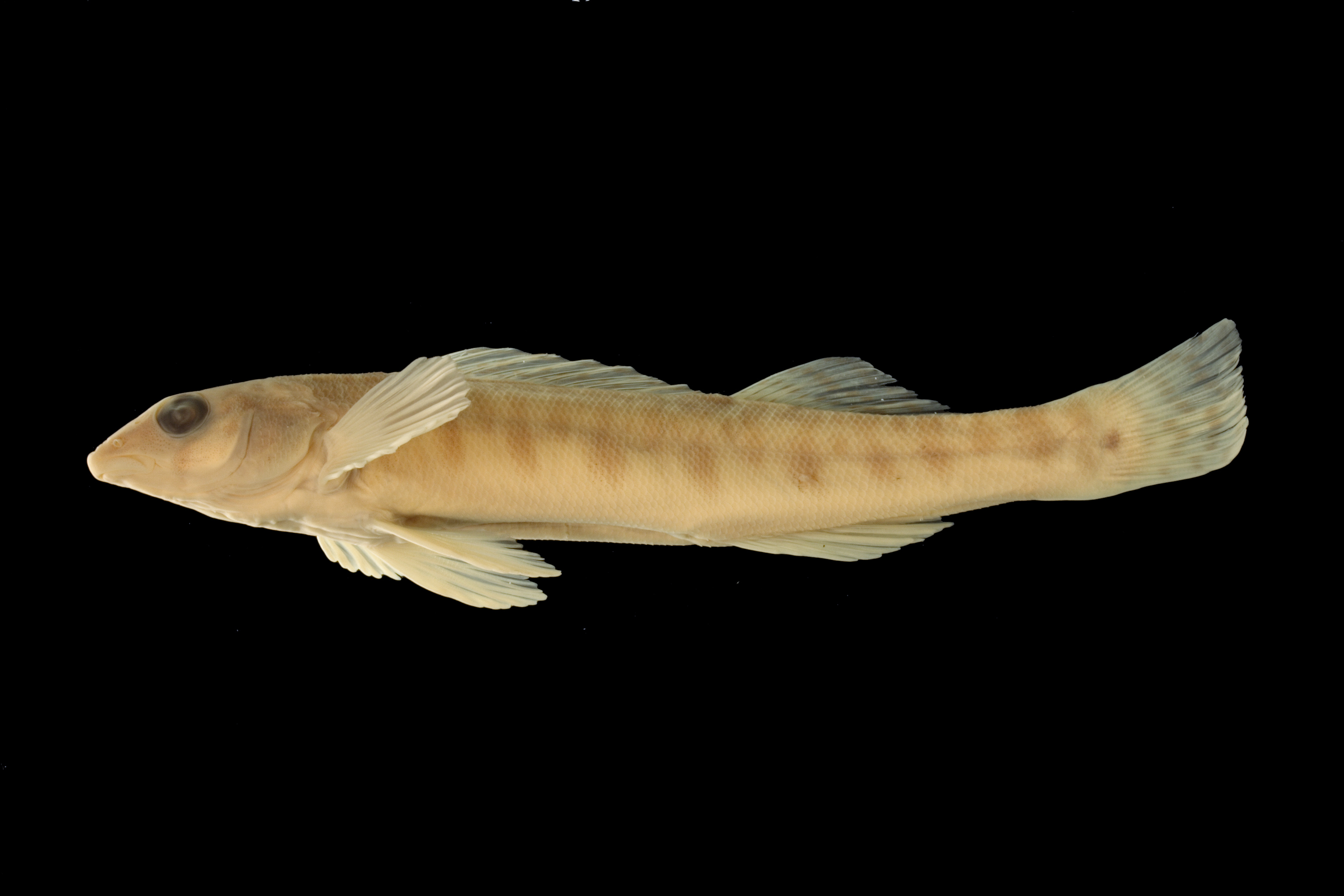
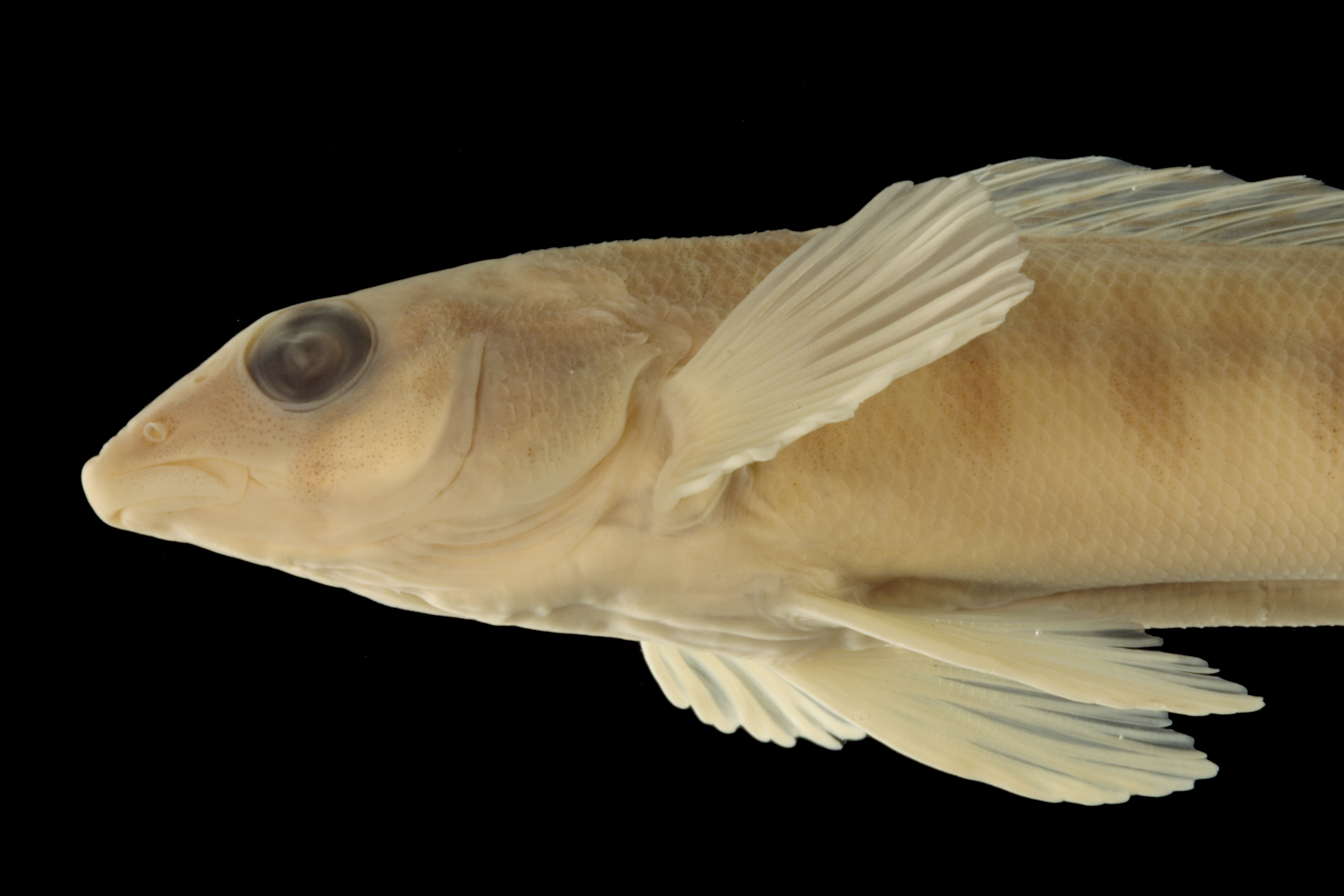
TNHCi_41
Not suspect, not examinedPhotos
Map
Location
29.85696° N, 97.89681° W
(± 43.7
m)
Taxonomy
GenusPercina
Speciescaprodes
Hybrid Speciescarbonaria
Specimen
Num Specimens2
Collection Event
CollectorJurgens, K.; Hubbs, C.
Collected Date1949.9.25
Geography
DrainageGuadalupe
CountryUnited States
StateTexas
CountyHays
LocalitySan Marcos River, low water bridge 3 mi SE State Fish Hatchery
Record Source
Source
Texas Natural History Collections
(type: specimens)
Institution
Texas Natural History Collections
(type: museum)
Curator
Dean Hendrickson
Record Added
May 13, 2010
Record Last Modified
March 23, 2026
Data Processing Track
Track 2
From Data Set Received
04/2009 to 10/2010
Identification
Suspect Notes
None
Count
2
Current Determination
Determiner
Fishes of Texas staff
Determination Date
Unknown
Determination Type
Unspecified
Identification Comments
None
Identification Confidence
Unknown
Collecting Event
Collected
Sept. 26, 1949
Collector(s)
Collecting Event ID
6249
Field Notes
There are no field notes available.
Locality
Region
Blackland Prairies
Jurisdiction
Caldwell, Texas
Name
San Marcos River at North Old Bastrop Highway
Hydrography
Texas-Gulf Region
Central Texas Coastal
Guadalupe
San Marcos
Upper San Marcos River
Morrison Creek-San Marcos River
Captive
no
Locality Photos
No locality photos available.
flag (suspect/examine)
suspect: noexamination: no
date
date_range: 9/26/1949-9/26/1949
collectors
collectors: Jurgens, Kenneth C. Hubbs, Clark
collectors
collectors: Kenneth C. Jurgens, Clark Hubbs
date
date_range: 9/25/1949-9/25/1949
staff comment
ID Status: Not flagged for specimen examination. By default we accept donor specimen determinations (after synonymization to our taxonomy). If georeferenced to TX this record has been considered in spatial context with other occurences of this species and accepted as correct.
ID Comments: NAGeoref Remark: Low water crossing is determined (from Google Maps) to be 'North Old Bastrop Highway'.
georeference
Error: 43.662
Remarks: Low water crossing is determined (from Google Maps) to be 'North Old Bastrop Highway'.
Locality: San Marcos River at North Old Bastrop HighwayCoordinates: 29.856961417;-97.896812657Georeferencer: AECGeographic note: Inland USA TexasLow water crossing is determined (from Google Maps) to be 'North Old Bastrop Highway'.
Comments On TNHCi_41