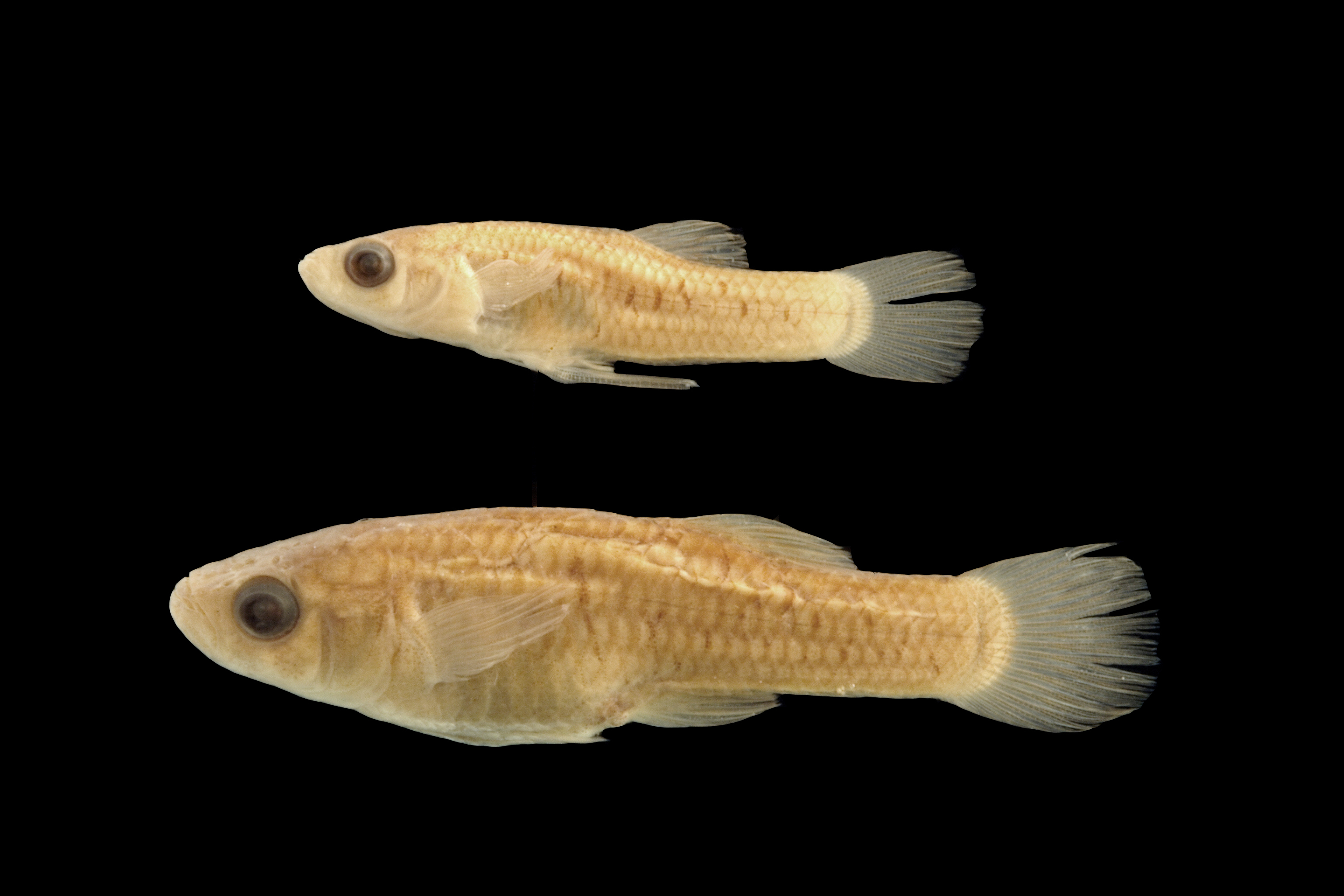
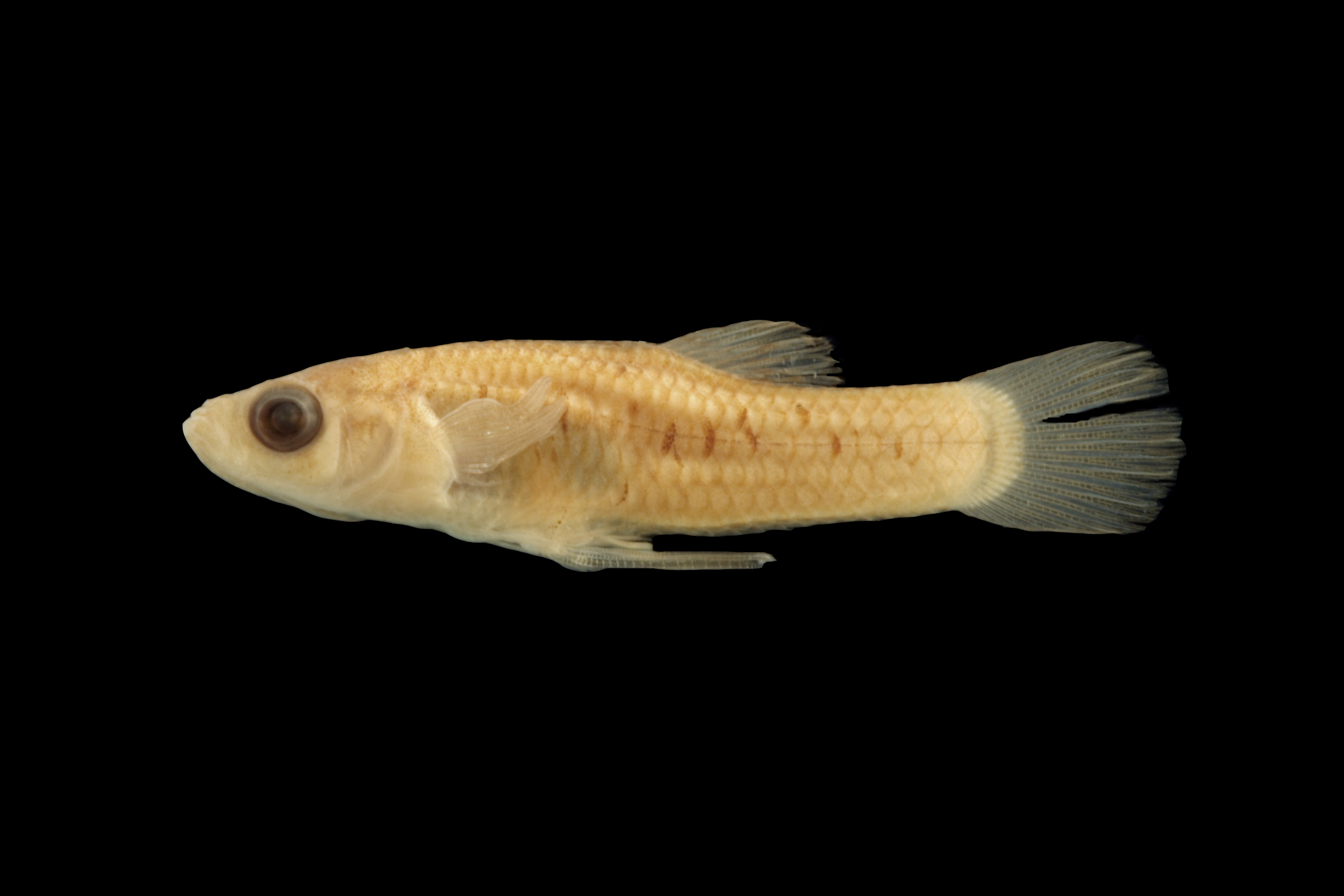
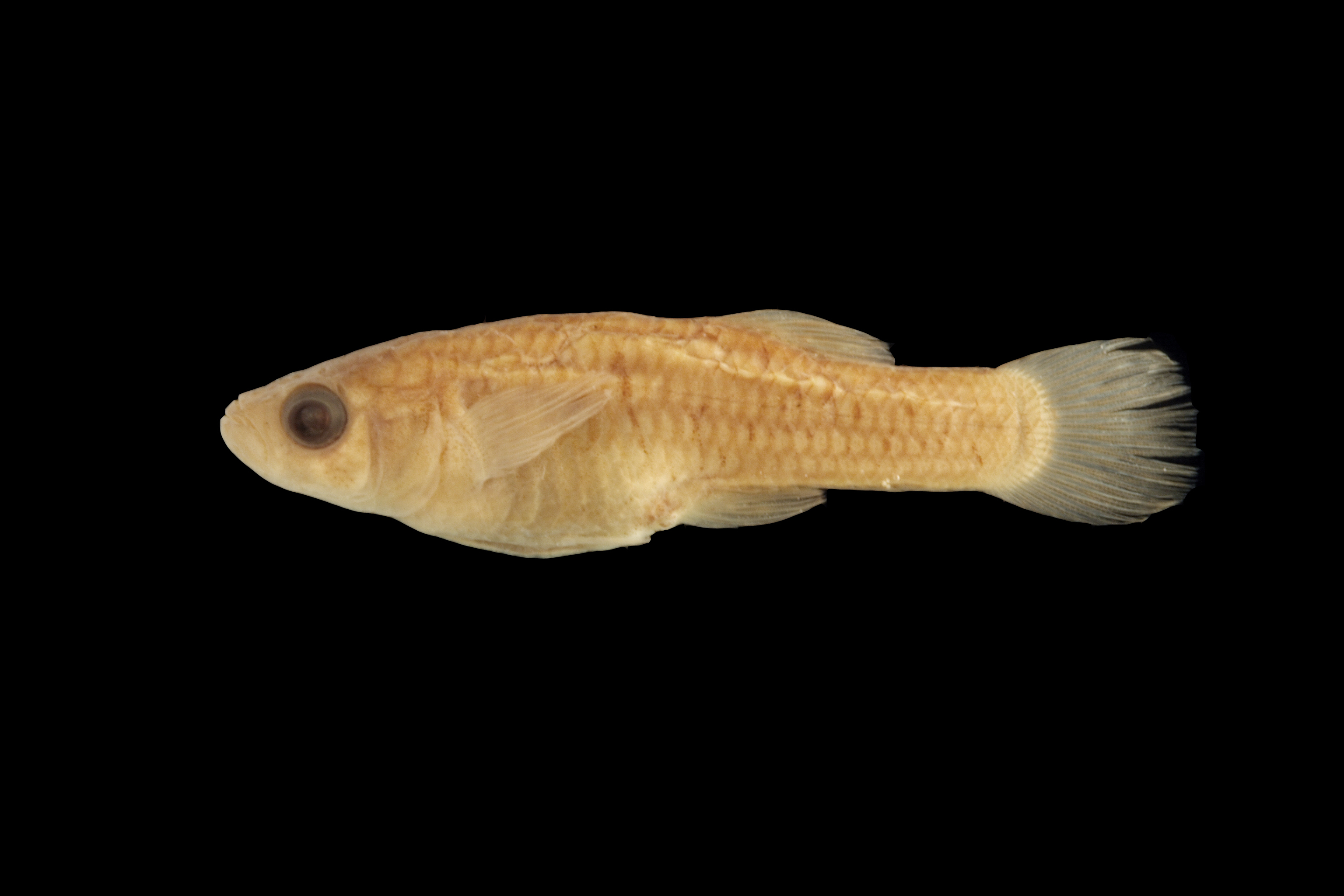
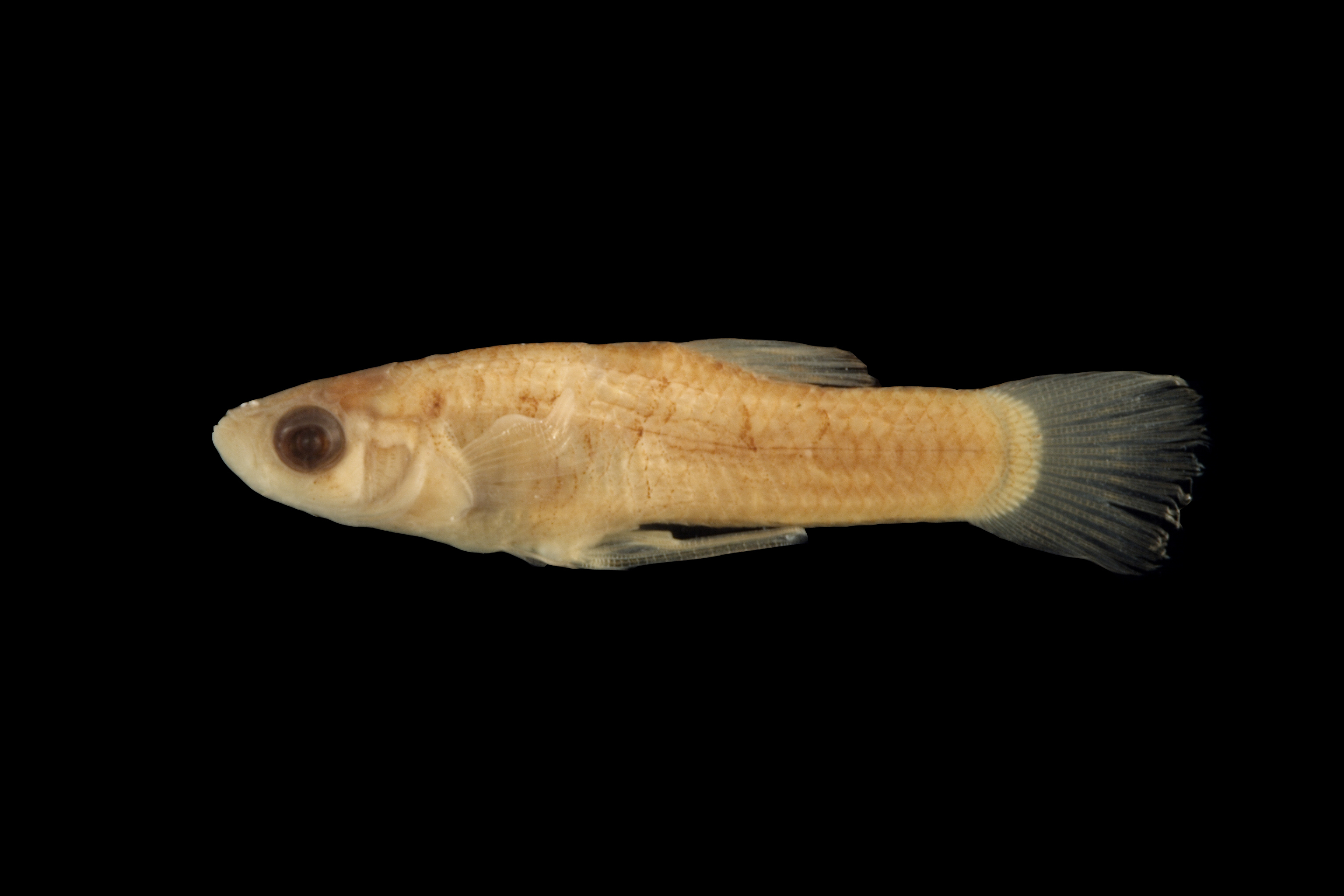
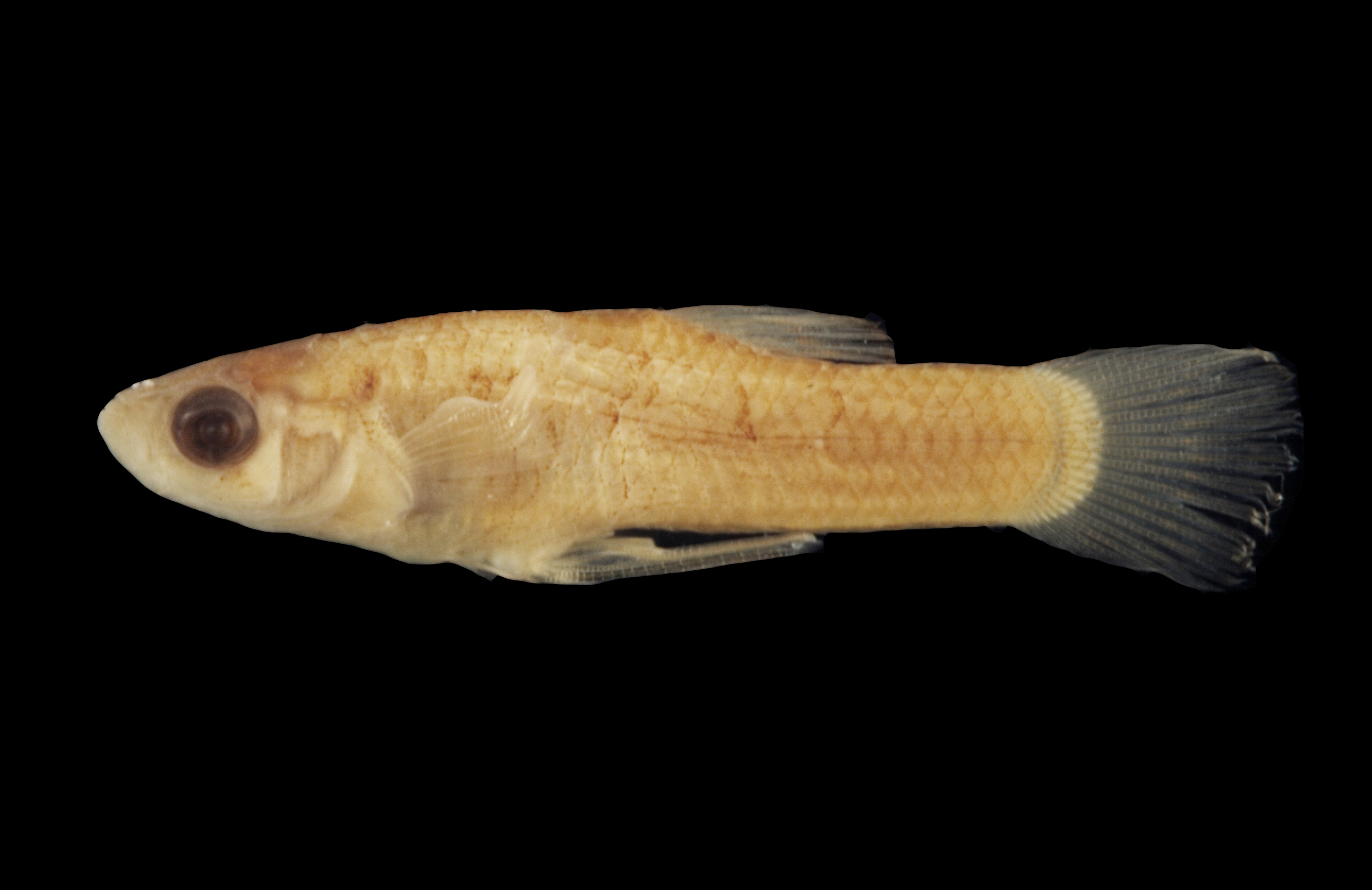
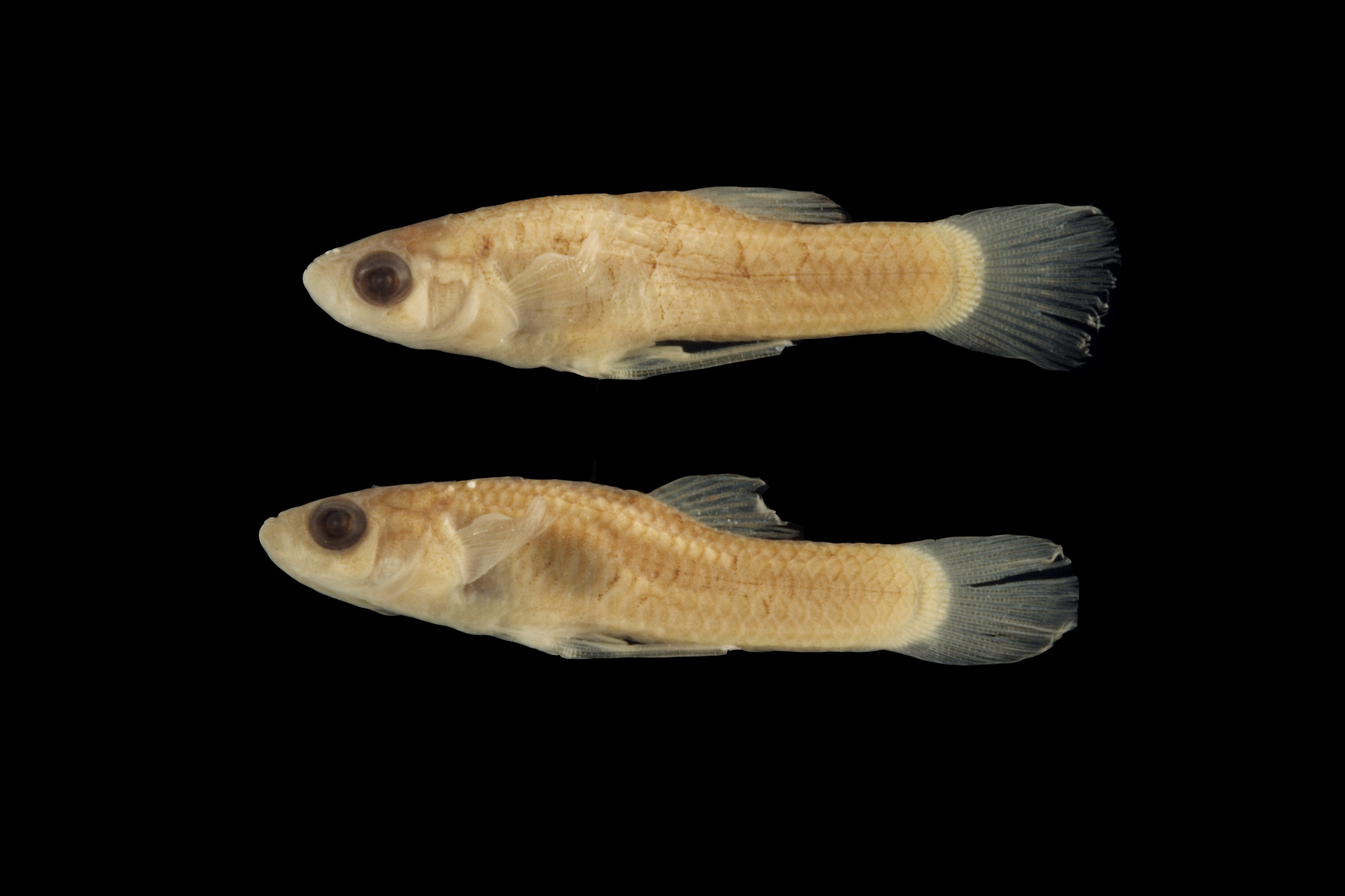
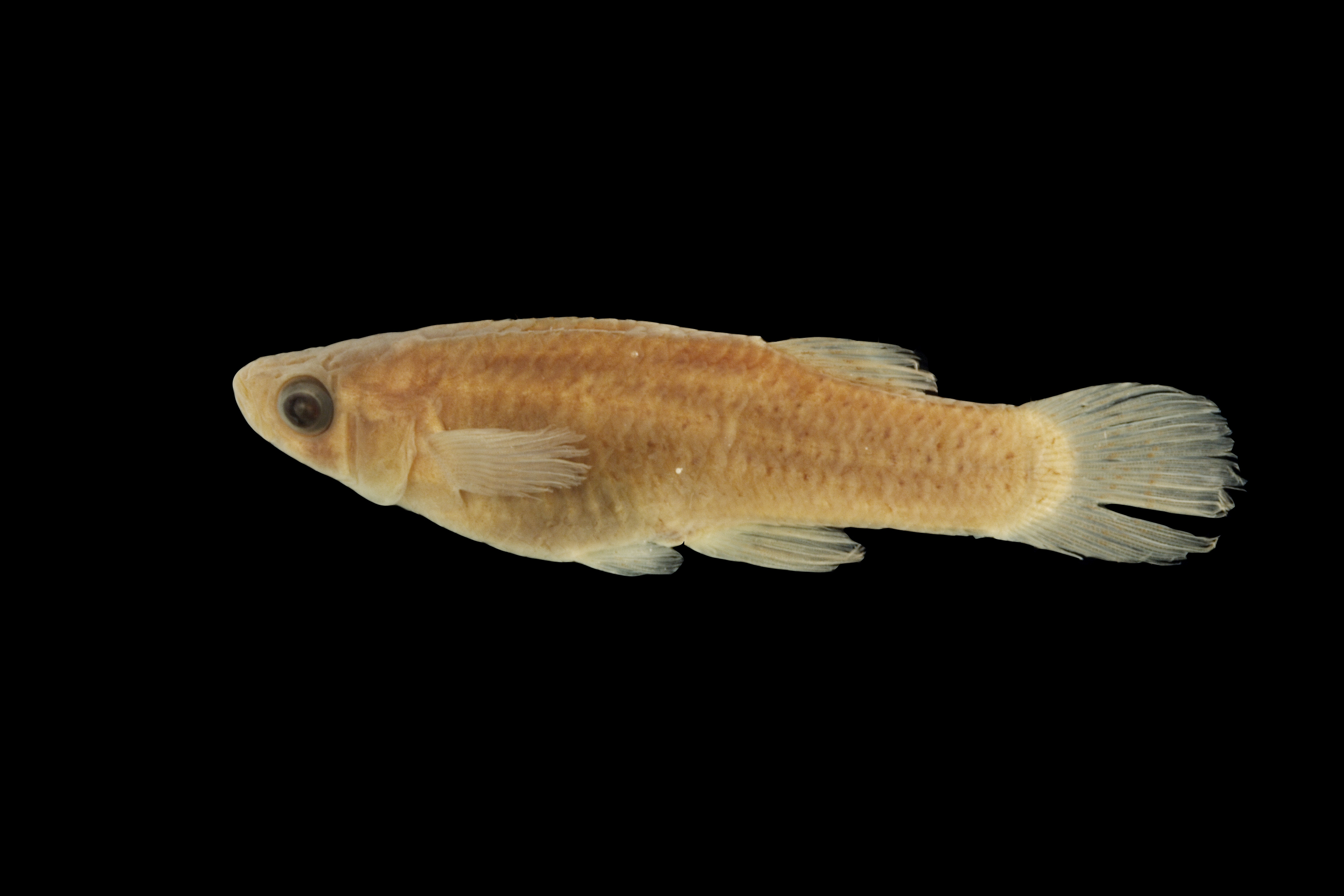
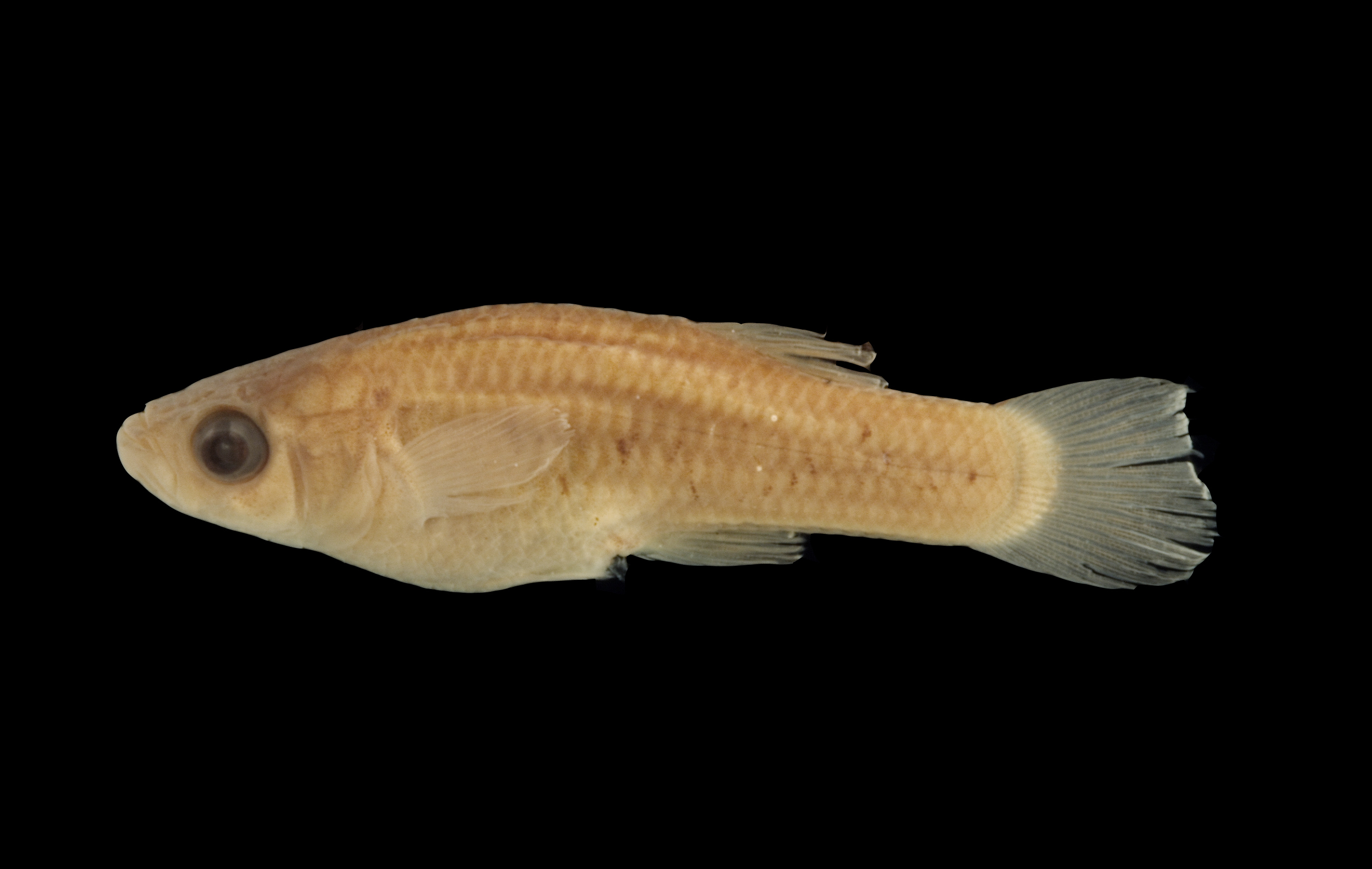
TNHCi_4652
Not suspect, not examinedPhotos
Map
Location
30.90736° N, 99.94509° W
(± 2426.9
m)
Taxonomy
GenusGambusia
Speciesheterochir
Specimen
Num Specimens61
Collection Event
CollectorTilton; et al.
Collected Date1956.2.19
Geography
DrainageColorado
CountryUnited States
StateTexas
CountyMenard
LocalityClear Creek, 10.4 mi. W Menard
Record Source
Source
Texas Natural History Collections
(type: specimens)
Institution
Texas Natural History Collections
(type: museum)
Curator
Dean Hendrickson
Record Added
May 13, 2010
Record Last Modified
March 23, 2026
Data Processing Track
Track 2
From Data Set Received
04/2009 to 10/2010
Identification
Suspect Notes
None
Count
61
Current Determination
Determiner
Fishes of Texas staff
Determination Date
Unknown
Determination Type
Unspecified
Identification Comments
None
Identification Confidence
Unknown
Collecting Event
Collected
Feb. 20, 1956
Collector(s)
Collecting Event ID
6809
Field Notes
There are no field notes available.
Locality
Region
Edwards Plateau
Jurisdiction
Menard, Texas
Name
Clear Creek
Hydrography
Texas-Gulf Region
Lower Colorado-San Bernard Coastal
Middle Colorado-Concho
San Saba
Dry Creek-San Saba River
Las Moras Creek-San Saba River
Captive
no
Locality Photos
No locality photos available.
flag (suspect/examine)
suspect: noexamination: no
date
date_range: 2/20/1956-2/20/1956
collectors
collectors: Tilton, J.E.
collectors
collectors: J.E. Tilton
date
date_range: 2/19/1956-2/19/1956
staff comment
ID Status: Not flagged for specimen examination. By default we accept donor specimen determinations (after synonymization to our taxonomy). If georeferenced to TX this record has been considered in spatial context with other occurences of this species and accepted as correct.
ID Comments: NAGeoref Remark: Treated as entire length
georeference
Error: 2426.89075198959Remarks: Treated as entire lengthLocality: Clear CreekCoordinates: 30.90736338;-99.945087441Georeferencer: AECGeographic note: Inland USA Texas
Treated as entire length
Comments On TNHCi_4652