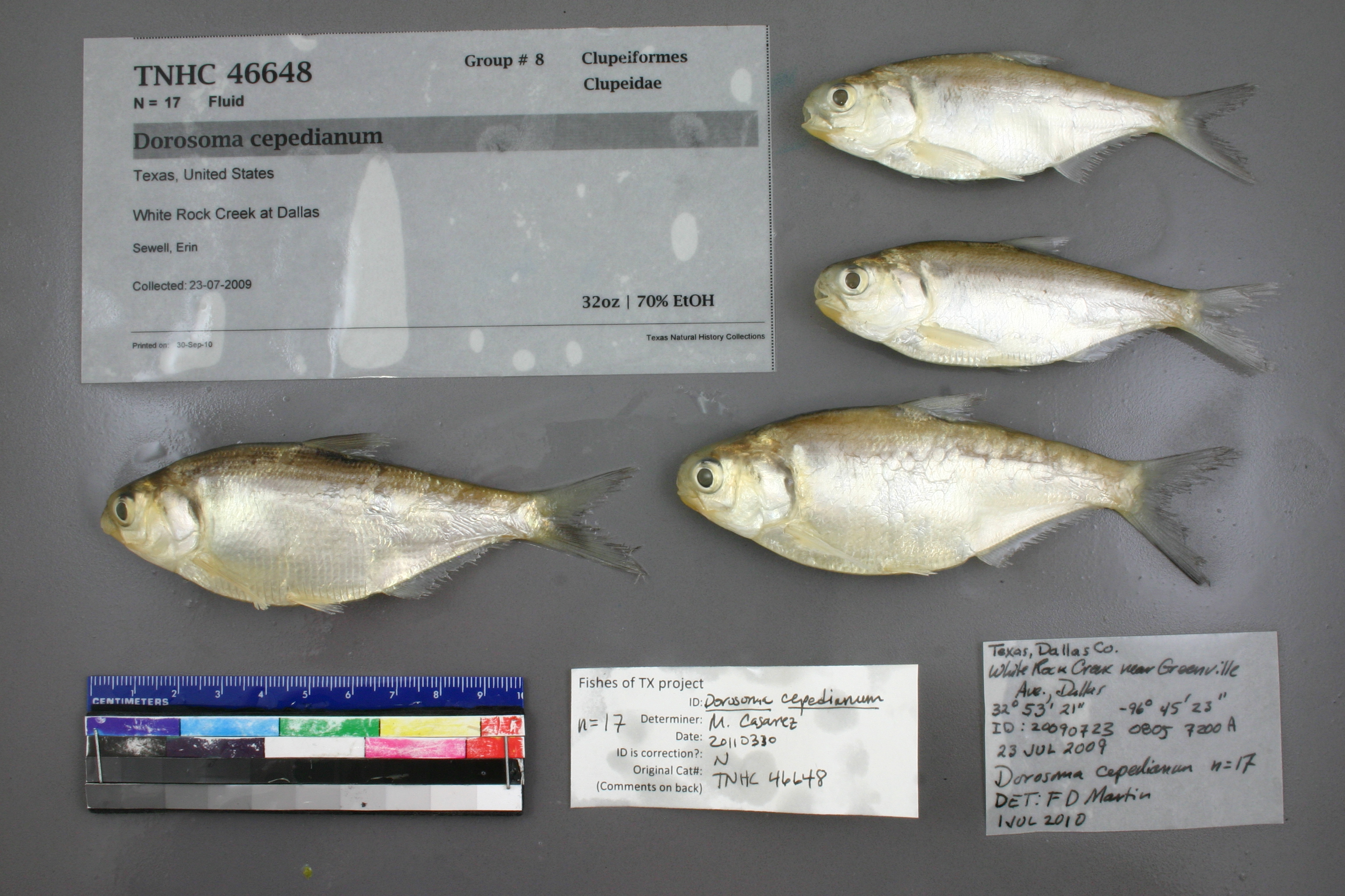
TNHCi_46648
Not suspect, not examinedPhotos
Map
Location
32.91943° N, 96.77826° W
(± 21779.3
m)
Taxonomy
FamilyClupeidae
GenusDorosoma
Speciescepedianum
Specimen
Num Specimens17
PreparationFluid - 17
Identification
Identified ByMartin2, Floyd
Date Identified2010.7.1
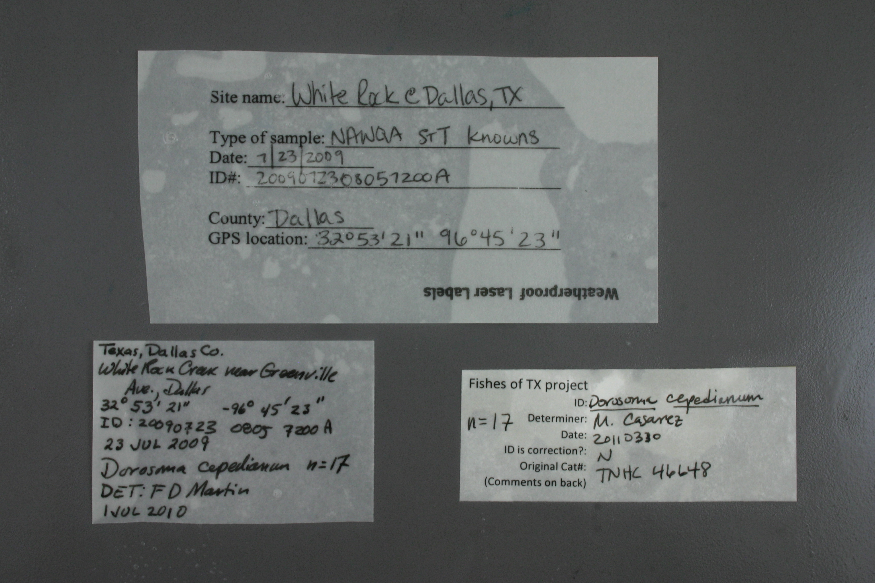
Collection Event
CollectorSewell, Erin
Collected Date2009.7.23
Field Number2009072308057200A
Event Remarksusing a pre-exisiting georeferenced locality
Geography
CountryUnited States
StateTexas
LocalityWhite Rock Creek at Dallas
Latitude32.9194298
Longitude-96.778261
DatumWGS84
Error21779.25235
Record Source
Source
Texas Natural History Collections
(type: specimens)
Institution
Texas Natural History Collections
(type: museum)
Curator
Dean Hendrickson
Record Added
June 24, 2020
Record Last Modified
March 23, 2026
Data Processing Track
Track 3
From Data Set Received
5/2017 to 11/2017
Identification
Suspect Notes
None
Count
17
Current Determination
Determiner
Melissa Casarez
Determination Date
Feb. 11, 2016
Determination Type
specimen examination
Identification Comments
Specimen examined and Id'ed for FoTX project. | ID notes: anal rays: 36, 36, 32; 36 anal ray count is above range for D. cepedianum (counts taken on 2 smallest specimens) but all other features match for cepedianum; MinSL(mm): 73.35; MaxSL(mm): 98.75; Jar: 32 oz; Specimen condition: good; Mutations: none; Count Male: ; Count female: ; Extern parasites: y
Identification Confidence
High
Collecting Event
Collected
July 23, 2009
Collector(s)
Collecting Event ID
397124
Field Notes
There are no field notes available.
Locality
Jurisdiction
Dallas, Texas
Name
White Rock Creek at Dallas
Hydrography
Texas-Gulf Region
Trinity
Upper Trinity
Upper Trinity
Headwaters Trinity River
Floyd Branch-White Rock Creek
Captive
no
Locality Photos
No locality photos available.
HUC 12
120301050104
Georeferencing Remarks
Georeference needs verification/refinement; coordinates provided by donor
Georeferencing Annotation
—
Has not been Georeferenced because
This record, being part of the track 3 import, is not formally georeferenced by FoTX staff at this time. However, to allow mapping and visualization of this record, locality information has been provisionally accepted if provided by the donor or if location text could be matched to previously georeferenced records by FoTX team or donor data. For many records spatial error is either accepted from the donor (when provided) or derived based on coordinate precision.
Comments On TNHCi_46648