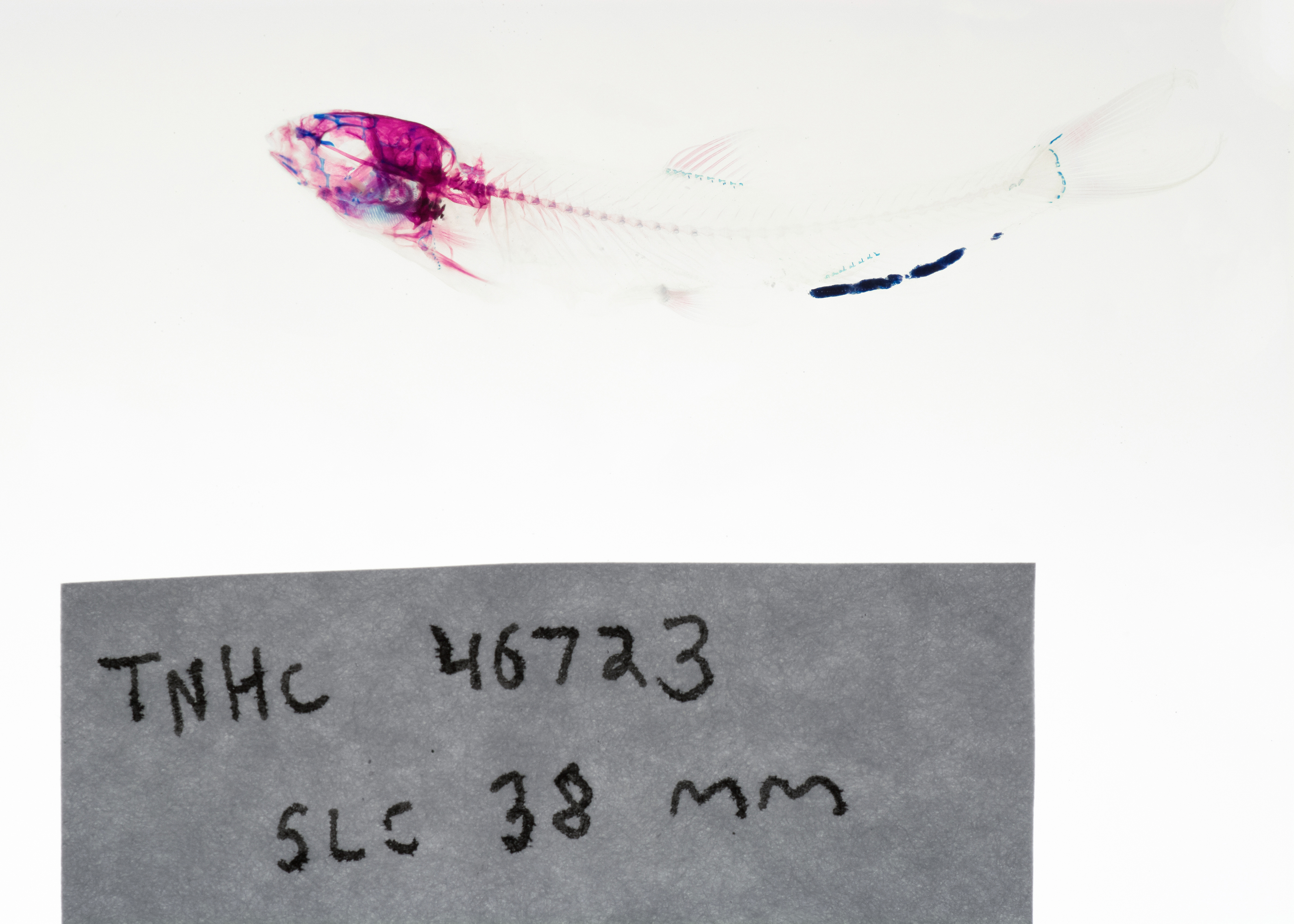
TNHCi_46723
Not suspect, not examined
Nueces Roundnose Minnow –
Dionda serena
Photos
Map
Location
29.49529° N, 99.71163° W
(± 385.5
m)
Taxonomy
FamilyCyprinidae
GenusDionda
Speciesserena
Specimen
Num Specimens55
PreparationFluid - 52; C&S skeleton - 1; C&S skeleton - 1; C&S skeleton - 1
Identification
Identified ByMartin, Floyd
Date Identified2010.7.8
Collection Event
CollectorRosendale, John
Collected Date2006.8.24
Field Number2006082408195000A
Event RemarksUsed pre-exisiting georeferenced locality.
Geography
CountryUnited States
StateTexas
CountyUvalde
LocalityFrio River near Concan
Latitude29.49529
Longitude-99.7116275
DatumWGS84
Error385.5207936
Georeferencing
Georeference RemarksExtent runs to a point halfway to Ellis Camp.
Record Source
Source
Texas Natural History Collections
(type: specimens)
Institution
Texas Natural History Collections
(type: museum)
Curator
Dean Hendrickson
Record Added
June 24, 2020
Record Last Modified
March 23, 2026
Data Processing Track
Track 3
From Data Set Received
5/2017 to 11/2017
Identification
Suspect Notes
None
Count
55
Current Determination
Determiner
Unknown
Determination Date
Unknown
Determination Type
Unspecified
Identification Comments
None
Identification Confidence
Unknown
Collecting Event
Collected
Aug. 24, 2006
Collector(s)
Collecting Event ID
390335
Field Notes
There are no field notes available.
Locality
Jurisdiction
Uvalde, Texas
Name
Frio River near Concan
Hydrography
USGS HUC
Texas-Gulf Region
Nueces-Southwestern Texas Coastal
Nueces
Upper Frio
Headwaters Frio River
Brushy Creek-Frio River
HydroBASINS
7519
751962
75196297
7519629702
751962970200
Captive
no
Locality Photos
No locality photos available.
HUC 12
121101060205
Georeferencing Remarks
Georeference needs verification/refinement; coordinates provided by donor
Georeferencing Annotation
—
Has not been Georeferenced because
This record, being part of the track 3 import, is not formally georeferenced by FoTX staff at this time. However, to allow mapping and visualization of this record, locality information has been provisionally accepted if provided by the donor or if location text could be matched to previously georeferenced records by FoTX team or donor data. For many records spatial error is either accepted from the donor (when provided) or derived based on coordinate precision.
Comments On TNHCi_46723