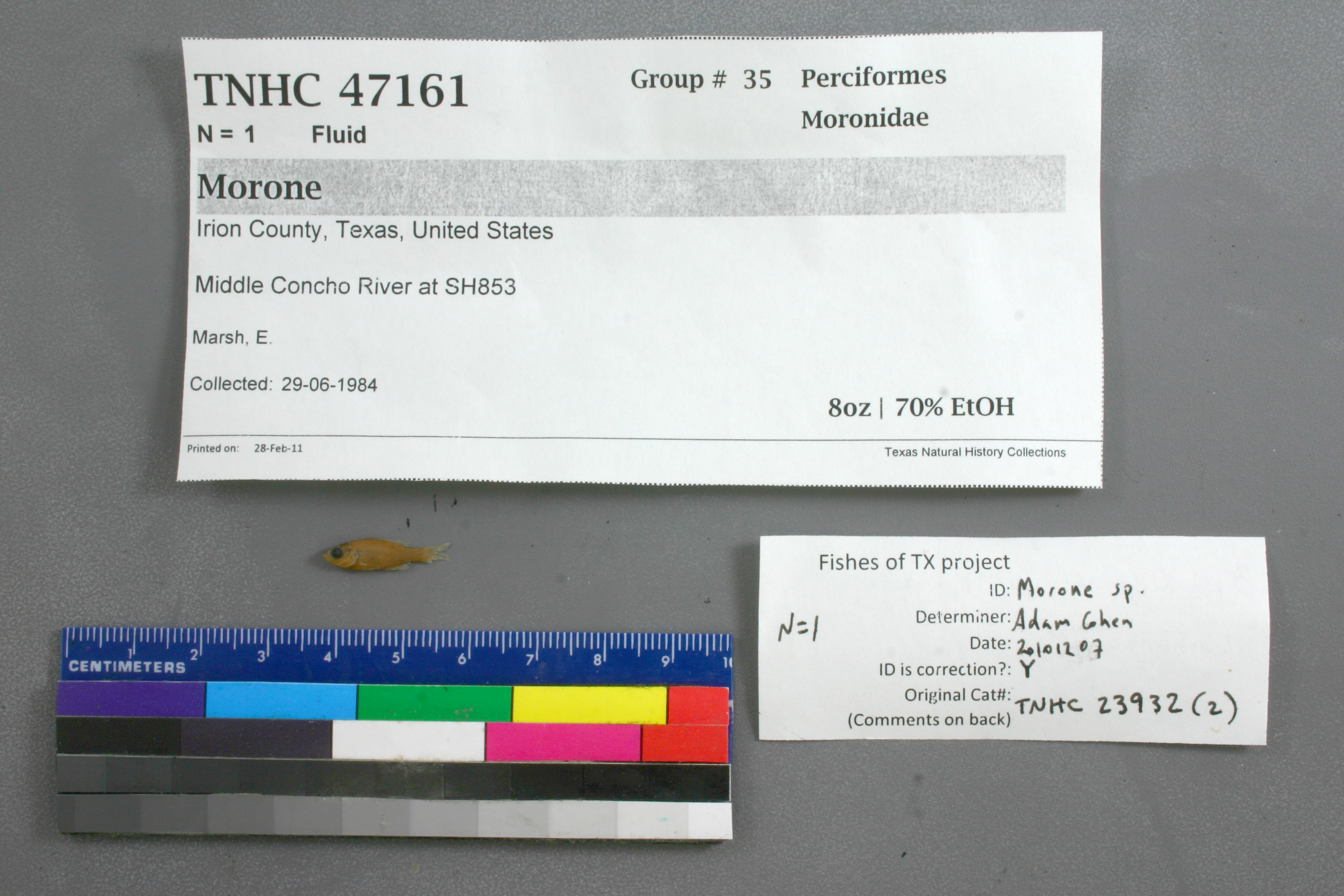
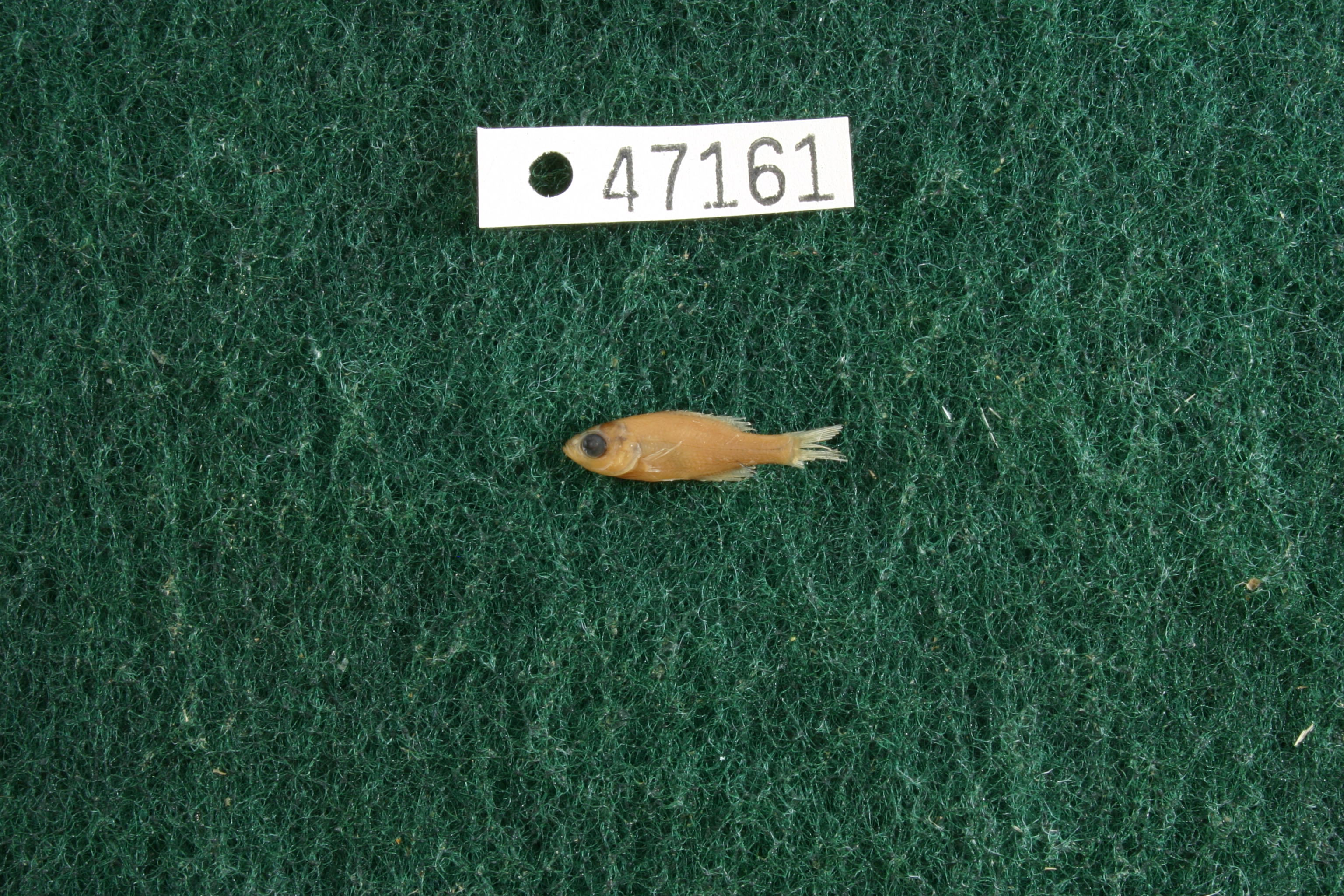
TNHCi_47161
Not suspect, pending examinationPhotos
Map
Location
31.41765° N, 100.80059° W
(± 43.7
m)
Taxonomy
FamilyMoronidae
GenusMorone
Specimen
Num Specimens1
PreparationFluid - 1
Identification
Identification RemarksCohen's notes: 3 anal spines, 10 or 11 anal rays, 12 soft dorsal rays.
Identified ByCohen, Adam
Date Identified2010.12.7
Collection Event
CollectorMarsh, E.
Collected Date1984.6.29
Field NumberECM-84-18
Event Remarkstemp 26°C; water murky, substrate mud, rock. Old coll. method: : 6', 15', & 30' seine
Geography
CountryUnited States
StateTexas
CountyIrion
LocalityMiddle Concho River at SH853
Latitude31.4176455
Longitude-100.8005908
DatumWGS84
Error43.653
Record Source
Source
Texas Natural History Collections
(type: specimens)
Institution
Texas Natural History Collections
(type: museum)
Curator
Dean Hendrickson
Record Added
June 24, 2020
Record Last Modified
March 23, 2026
Data Processing Track
Track 3
From Data Set Received
5/2017 to 11/2017
Identification
Suspect Notes
None
Count
1
Current Determination
Determiner
Unknown
Determination Date
Unknown
Determination Type
Unspecified
Identification Comments
None
Identification Confidence
Unknown
Collecting Event
Collected
June 29, 1984
Collector(s)
Collecting Event ID
314613
Field Notes
There are no field notes available.
Locality
Jurisdiction
Irion, Texas
Name
Middle Concho River at SH853
Hydrography
Texas-Gulf Region
Lower Colorado-San Bernard Coastal
Middle Colorado-Concho
Middle Concho
West Rocky Creek-Middle Concho River
Arden Cemetery-Middle Concho River
Captive
no
Locality Photos
No locality photos available.
HUC 12
120901031103
Georeferencing Remarks
Georeference needs verification/refinement; coordinates provided by donor
Georeferencing Annotation
—
Has not been Georeferenced because
This record, being part of the track 3 import, is not formally georeferenced by FoTX staff at this time. However, to allow mapping and visualization of this record, locality information has been provisionally accepted if provided by the donor or if location text could be matched to previously georeferenced records by FoTX team or donor data. For many records spatial error is either accepted from the donor (when provided) or derived based on coordinate precision.
flag (suspect/examine)
note: examine due to determination not to species levelExamination: Pending
Comments On TNHCi_47161