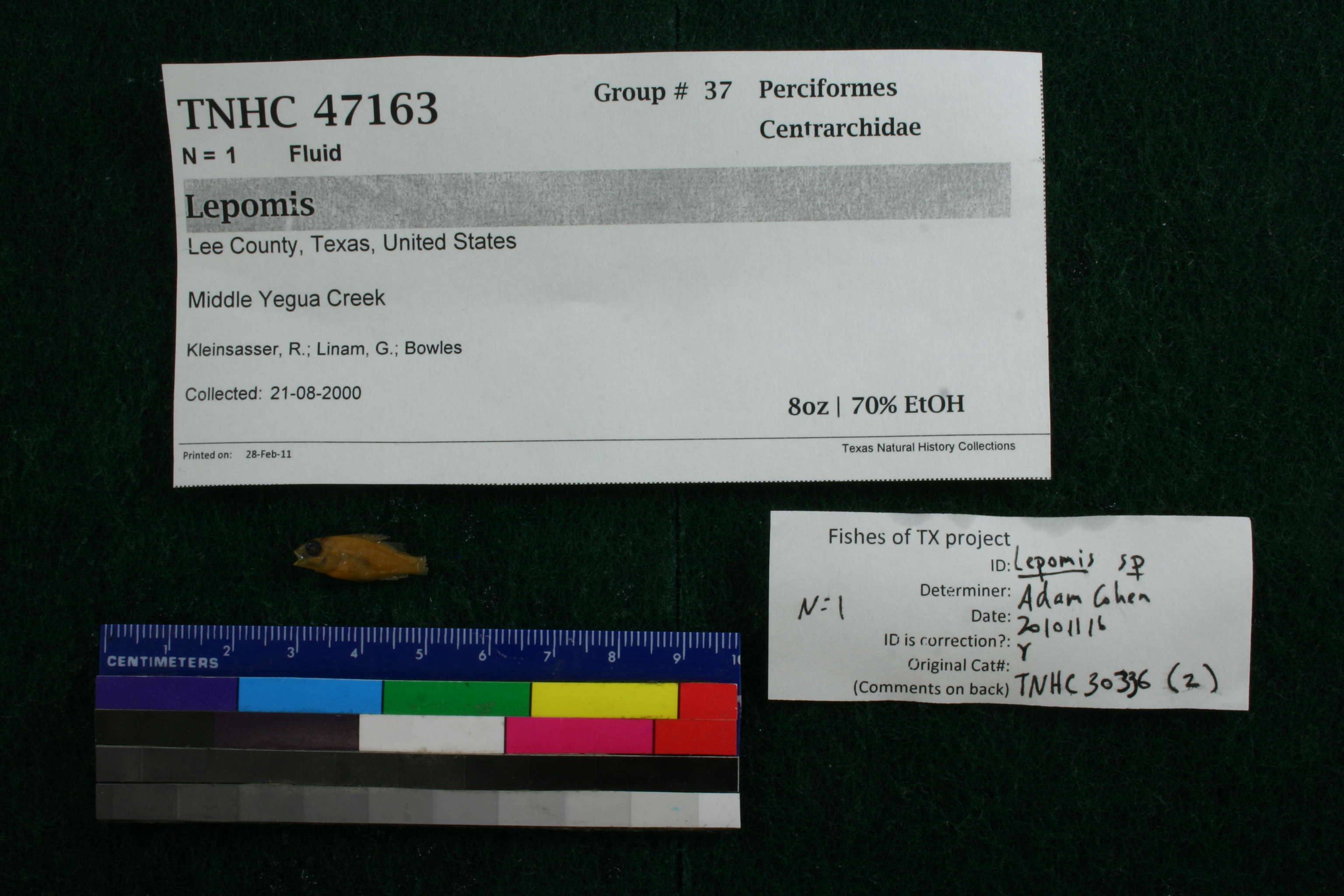
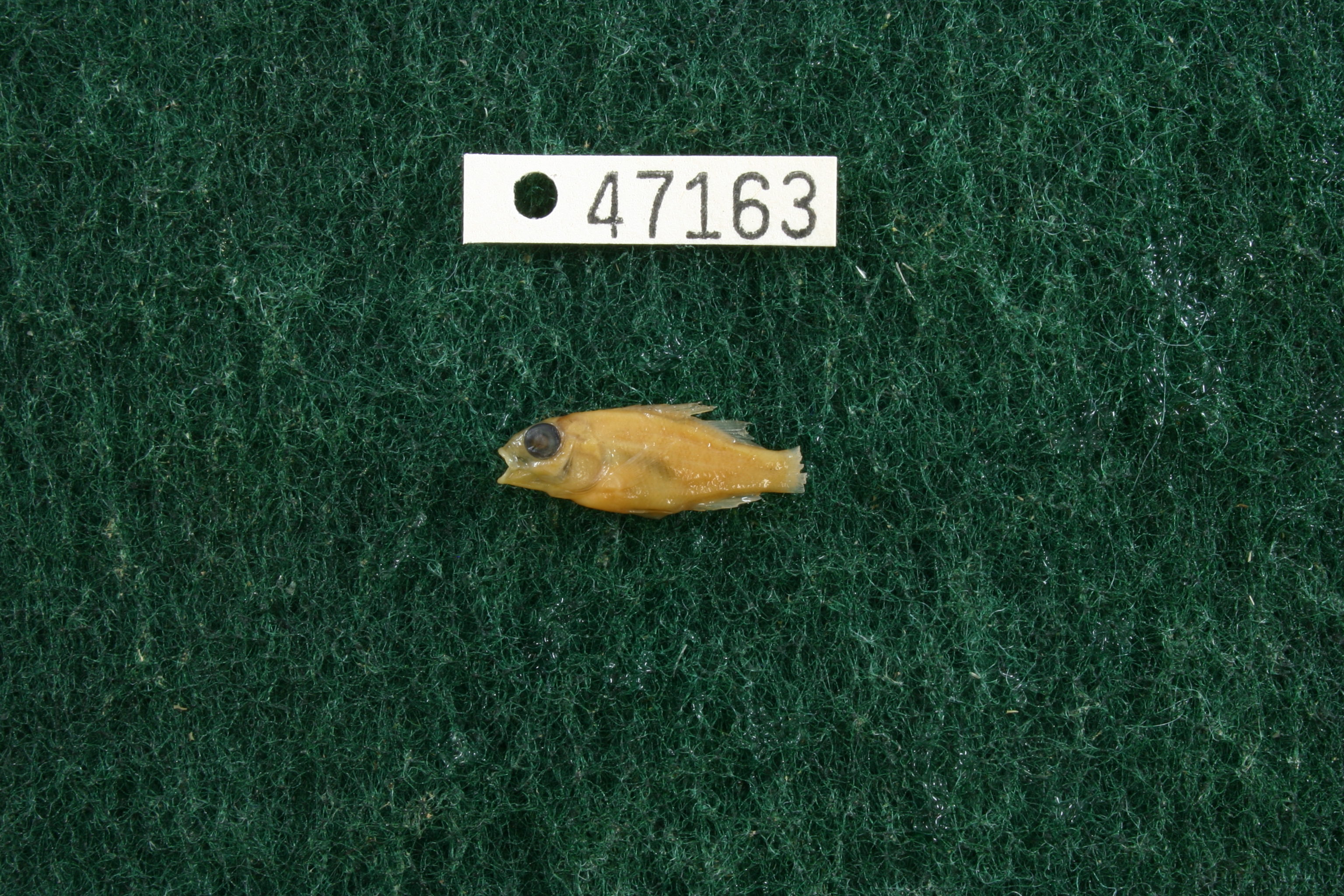
TNHCi_47163
Not suspect, pending examinationPhotos
Map
Location
30.35683° N, 96.99724° W
(± 24997.9
m)
Taxonomy
FamilyCentrarchidae
GenusLepomis
Specimen
Num Specimens1
PreparationFluid - 1
Identification
Identified ByCohen, Adam
Date Identified2011.11.16
Collection Event
CollectorKleinsasser, R.; Linam, G.; Bowles
Collected Date2000.8.21
Field Numberz30334
Event RemarksRemap 276. Electrofish sample Jug 261. Old coll. method: : Electroshocker
Geography
CountryUnited States
StateTexas
CountyLee
LocalityMiddle Yegua Creek
Latitude30.3568266
Longitude-96.9972409
DatumWGS84
Error24997.94035
Record Source
Source
Texas Natural History Collections
(type: specimens)
Institution
Texas Natural History Collections
(type: museum)
Curator
Dean Hendrickson
Record Added
June 24, 2020
Record Last Modified
March 23, 2026
Data Processing Track
Track 3
From Data Set Received
5/2017 to 11/2017
Identification
Suspect Notes
None
Count
1
Current Determination
Determiner
Unknown
Determination Date
Unknown
Determination Type
Unspecified
Identification Comments
None
Identification Confidence
Unknown
Collecting Event
Collected
Aug. 21, 2000
Collector(s)
Collecting Event ID
364046
Field Notes
There are no field notes available.
Locality
Jurisdiction
Lee, Texas
Name
Middle Yegua Creek
Hydrography
Texas-Gulf Region
Lower Brazos
Lower Brazos
Yegua
Middle Yegua Creek
Indian Camp Branch-Middle Yegua Creek
Captive
no
Locality Photos
No locality photos available.
HUC 12
120701020106
Georeferencing Remarks
Georeference needs verification/refinement; coordinates provided by donor
Georeferencing Annotation
—
Has not been Georeferenced because
This record, being part of the track 3 import, is not formally georeferenced by FoTX staff at this time. However, to allow mapping and visualization of this record, locality information has been provisionally accepted if provided by the donor or if location text could be matched to previously georeferenced records by FoTX team or donor data. For many records spatial error is either accepted from the donor (when provided) or derived based on coordinate precision.
flag (suspect/examine)
note: examine due to determination not to species levelExamination: Pending
Comments On TNHCi_47163