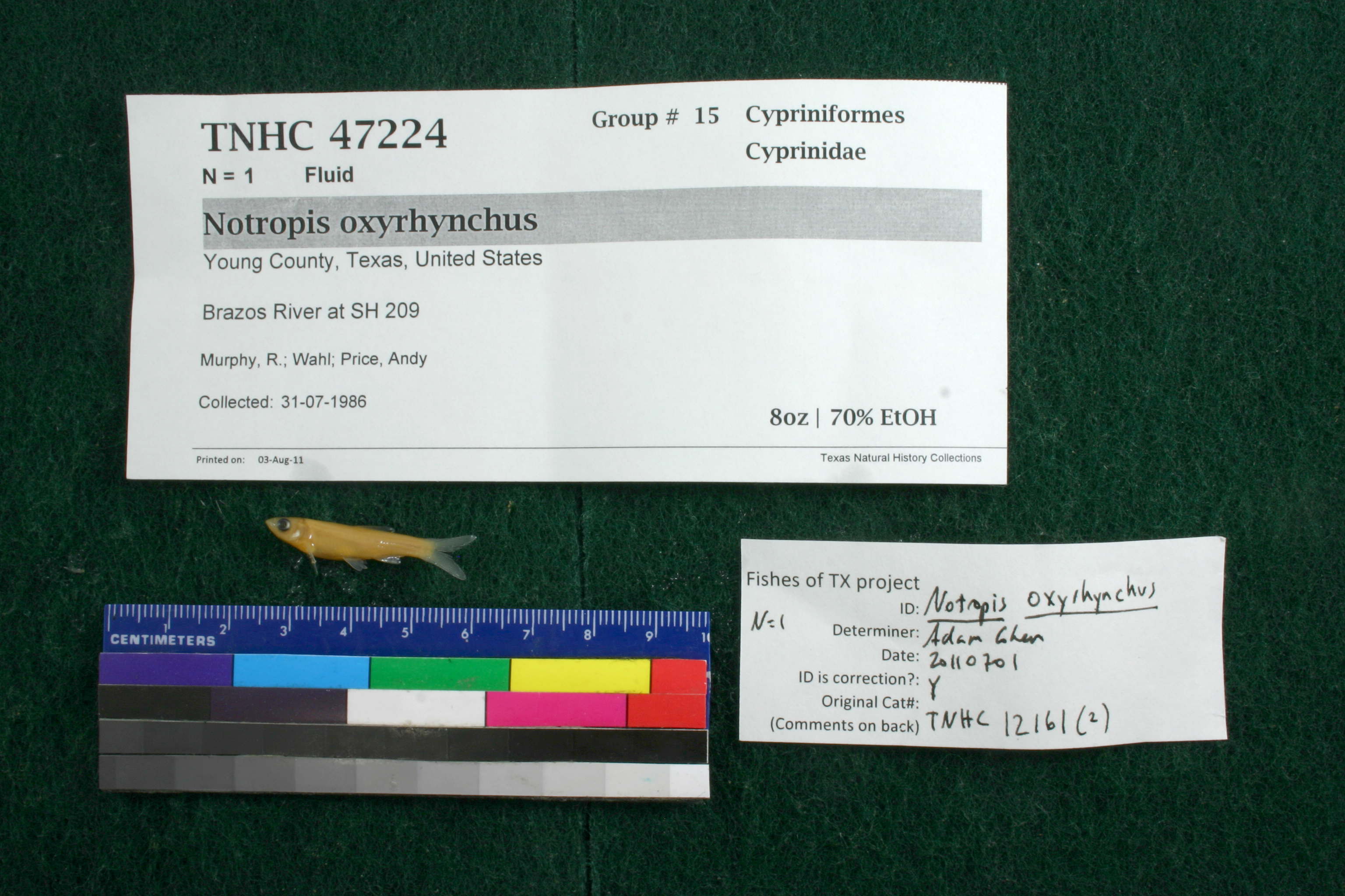
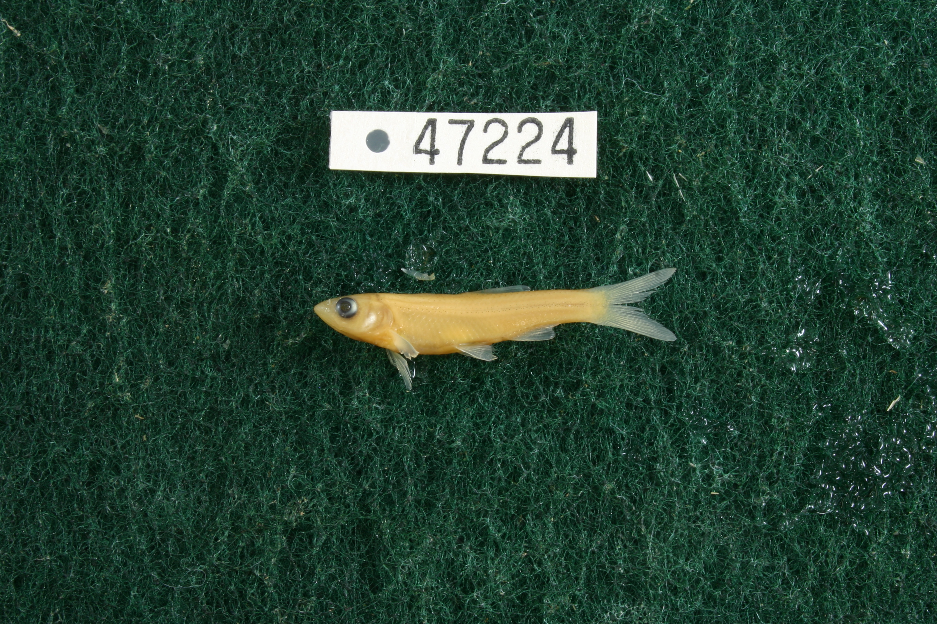
TNHCi_47224
Not suspect, not examinedPhotos
Map
Location
33.08157° N, 98.72737° W
(± 43.6
m)
Taxonomy
FamilyCyprinidae
GenusNotropis
Speciesoxyrhynchus
Specimen
Num Specimens1
PreparationFluid - 1
Identification
Identification RemarksCohen's notes: 10 anal rays
Identified ByCohen, Adam
Date Identified2011.7.1
Collection Event
CollectorMurphy, R.; Wahl; Price, Andy
Collected Date1986.7.31
Field NumberZ121614-18
Geography
CountryUnited States
StateTexas
CountyYoung
LocalityBrazos River at SH 209
Latitude33.0815716
Longitude-98.7273725
DatumWGS84
Error43.642
Record Source
Source
Texas Natural History Collections
(type: specimens)
Institution
Texas Natural History Collections
(type: museum)
Curator
Dean Hendrickson
Record Added
June 24, 2020
Record Last Modified
March 23, 2026
Data Processing Track
Track 3
From Data Set Received
5/2017 to 11/2017
Identification
Suspect Notes
None
Count
1
Current Determination
Determiner
Unknown
Determination Date
Unknown
Determination Type
Unspecified
Identification Comments
None
Identification Confidence
Unknown
Collecting Event
Collected
July 31, 1986
Collector(s)
Collecting Event ID
317805
Field Notes
There are no field notes available.
Locality
Jurisdiction
Young, Texas
Name
Brazos River at SH 209
Hydrography
Texas-Gulf Region
Middle Brazos
Middle Brazos-Clear Fork
Middle Brazos-Millers
Fish Creek-Brazos River
Gibbens Creek-Brazos River
Captive
no
Locality Photos
No locality photos available.
HUC 12
120601010905
Georeferencing Remarks
Georeference needs verification/refinement; coordinates provided by donor
Georeferencing Annotation
—
Has not been Georeferenced because
This record, being part of the track 3 import, is not formally georeferenced by FoTX staff at this time. However, to allow mapping and visualization of this record, locality information has been provisionally accepted if provided by the donor or if location text could be matched to previously georeferenced records by FoTX team or donor data. For many records spatial error is either accepted from the donor (when provided) or derived based on coordinate precision.
Comments On TNHCi_47224