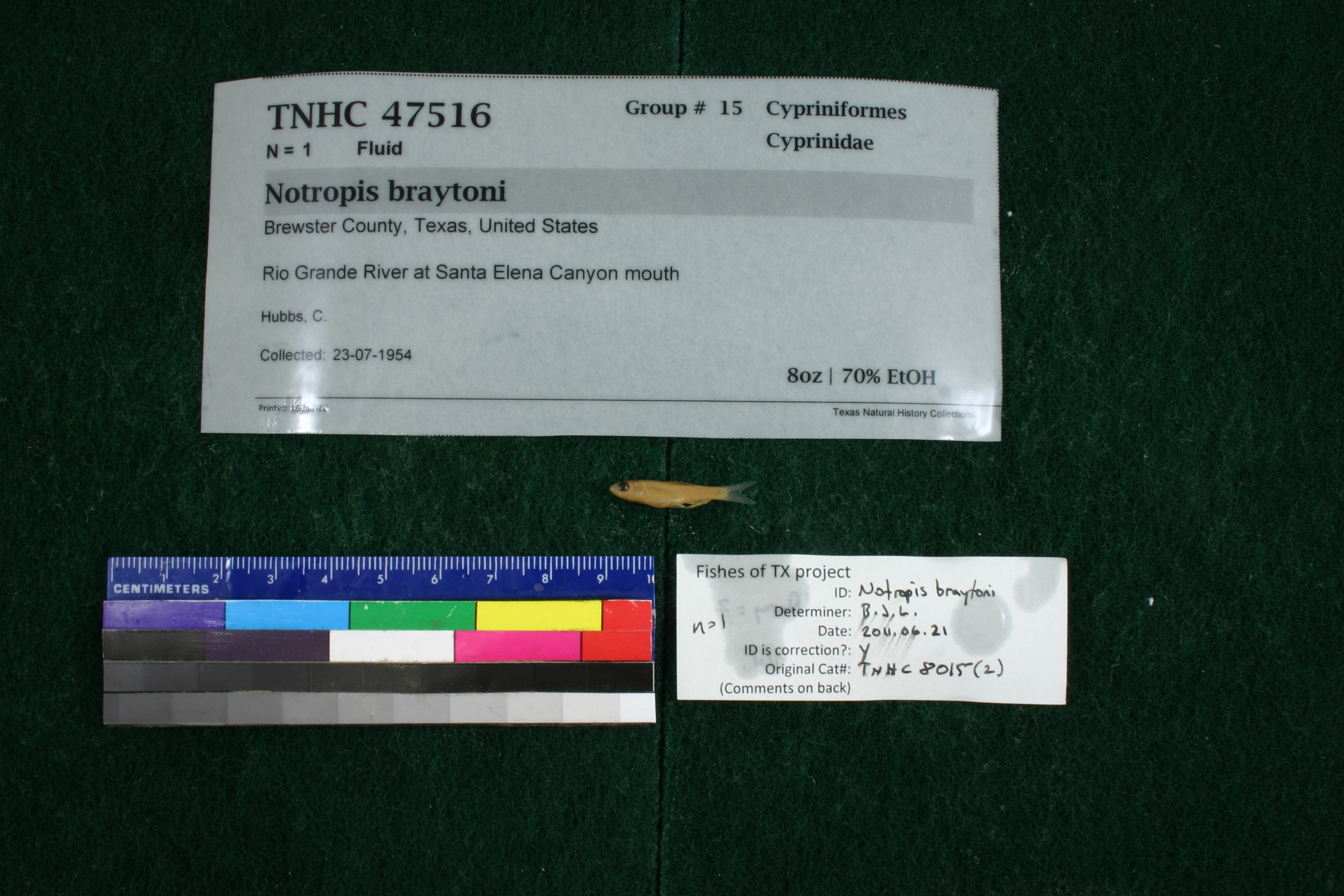
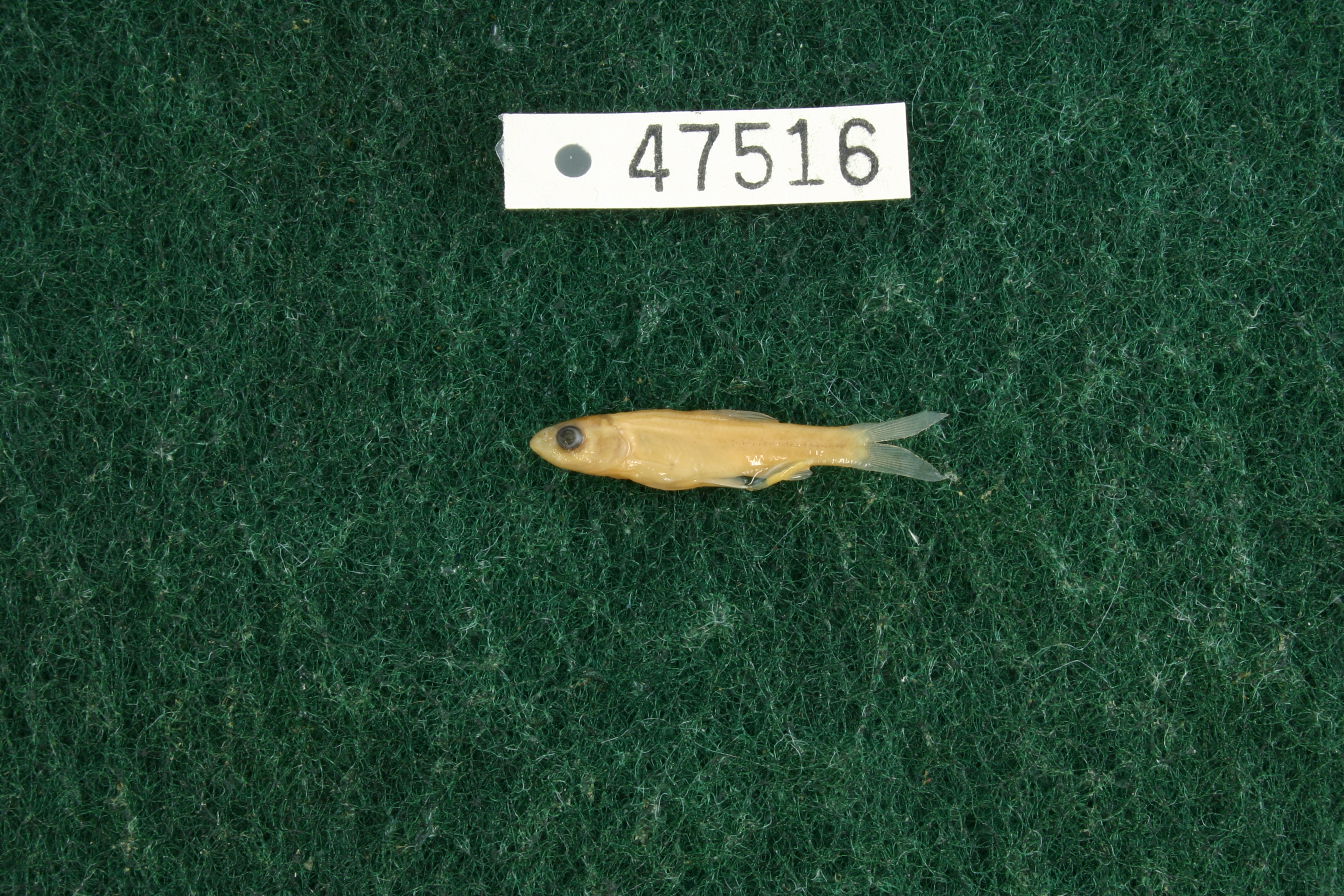
TNHCi_47516
Not suspect, not examinedPhotos
Map
Location
29.16506° N, 103.61235° W
(± 202.6
m)
Taxonomy
FamilyCyprinidae
GenusNotropis
Speciesbraytoni
Specimen
Num Specimens1
PreparationFluid - 1
Identification
Identification RemarksLabay's notes: anal fin ray =7.
Identified ByLabay, Ben
Date Identified2011.6.21
Collection Event
CollectorHubbs, C.
Collected Date1954.7.23
Field NumberZ8015Q-54-89
Geography
CountryUnited States
StateTexas
CountyBrewster
LocalityRio Grande at Santa Elena Canyon mouth
Latitude29.1650618
Longitude-103.6123535
DatumWGS84
Error202.6426224
Georeferencing
Georeference RemarksTreated as shown
Record
Occurrence RemarksFound in TNHC 8015.
Record Source
Source
Texas Natural History Collections
(type: specimens)
Institution
Texas Natural History Collections
(type: museum)
Curator
Dean Hendrickson
Record Added
June 24, 2020
Record Last Modified
March 23, 2026
Data Processing Track
Track 3
From Data Set Received
5/2017 to 11/2017
Identification
Suspect Notes
None
Count
1
Current Determination
Determiner
Unknown
Determination Date
Unknown
Determination Type
Unspecified
Identification Comments
None
Identification Confidence
Unknown
Collecting Event
Collected
July 23, 1954
Collector(s)
Collecting Event ID
278795
Field Notes
There are no field notes available.
Locality
Jurisdiction
Manuel Benavides, Chihuahua
Name
Rio Grande at Santa Elena Canyon mouth
Hydrography
Rio Grande Region
Rio Grande-Amistad
Rio Grande-Amistad
Black Hills-Fresno
Fresno Creek-Rio Grande
Tinaja Blanca-Rio Grande
Captive
no
Locality Photos
No locality photos available.
HUC 12
130402031509
Georeferencing Remarks
Georeference needs verification/refinement; coordinates provided by donor
Georeferencing Annotation
—
Has not been Georeferenced because
This record, being part of the track 3 import, is not formally georeferenced by FoTX staff at this time. However, to allow mapping and visualization of this record, locality information has been provisionally accepted if provided by the donor or if location text could be matched to previously georeferenced records by FoTX team or donor data. For many records spatial error is either accepted from the donor (when provided) or derived based on coordinate precision.
Comments On TNHCi_47516