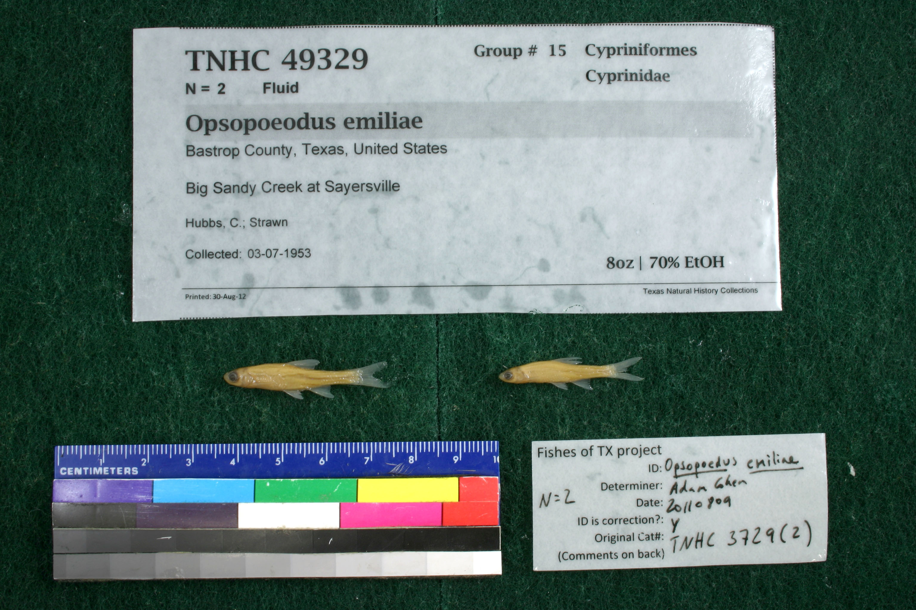
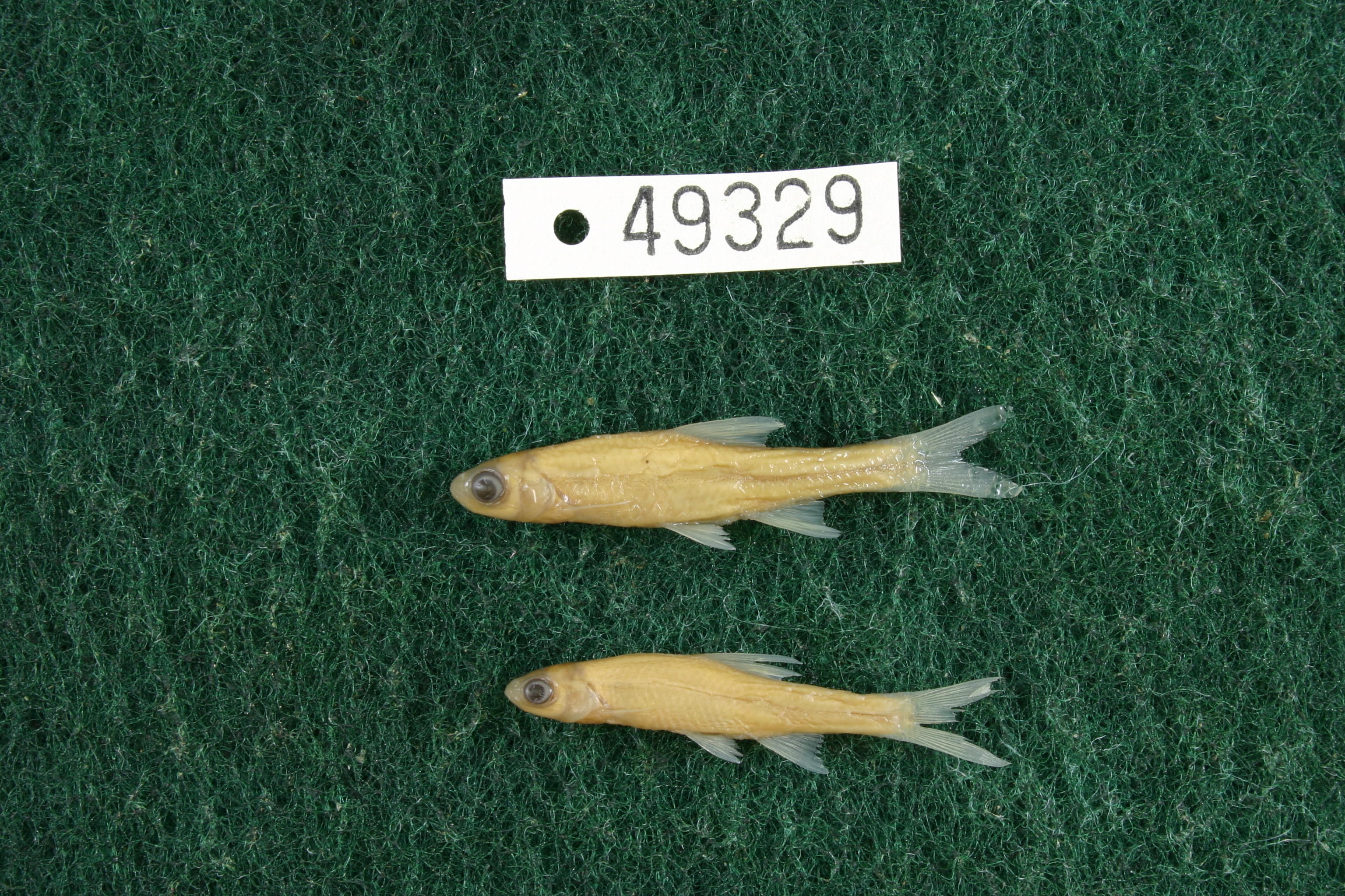
TNHCi_49329
Not suspect, not examinedPhotos
Map
Location
30.23185° N, 97.32956° W
(± 470.9
m)
Taxonomy
FamilyCyprinidae
GenusOpsopoeodus
Speciesemiliae
Specimen
Num Specimens2
PreparationFluid - 2
Identification
Identified ByCohen, Adam
Date Identified2011.8.9
Collection Event
CollectorHubbs, C.; Strawn
Collected Date1953.7.3
Field NumberZ3729Q-53-91
Geography
CountryUnited States
StateTexas
CountyBastrop
LocalityBig Sandy Creek at Sayersville
Latitude30.2318501
Longitude-97.3295591
DatumWGS84
Error470.8602216
Georeferencing
Georeference RemarksSayersville, not Sayeriulle
Record
Occurrence RemarksRemoved from TNHC 3729 due to redetermination.
Record Source
Source
Texas Natural History Collections
(type: specimens)
Institution
Texas Natural History Collections
(type: museum)
Curator
Dean Hendrickson
Record Added
June 24, 2020
Record Last Modified
March 23, 2026
Data Processing Track
Track 3
From Data Set Received
5/2017 to 11/2017
Identification
Suspect Notes
None
Count
2
Current Determination
Determiner
Unknown
Determination Date
Unknown
Determination Type
Unspecified
Identification Comments
None
Identification Confidence
Unknown
Collecting Event
Collected
July 3, 1953
Collecting Event ID
277923
Field Notes
There are no field notes available.
Locality
Jurisdiction
Bastrop, Texas
Name
Big Sandy Creek at Sayersville
Hydrography
Texas-Gulf Region
Lower Colorado-San Bernard Coastal
Lower Colorado
Lower Colorado-Cummins
Piney Creek-Colorado River
Big Sandy Creek-Colorado River
Captive
no
Locality Photos
No locality photos available.
HUC 12
120903010204
Georeferencing Remarks
Georeference needs verification/refinement; coordinates provided by donor
Georeferencing Annotation
—
Has not been Georeferenced because
This record, being part of the track 3 import, is not formally georeferenced by FoTX staff at this time. However, to allow mapping and visualization of this record, locality information has been provisionally accepted if provided by the donor or if location text could be matched to previously georeferenced records by FoTX team or donor data. For many records spatial error is either accepted from the donor (when provided) or derived based on coordinate precision.
Comments On TNHCi_49329