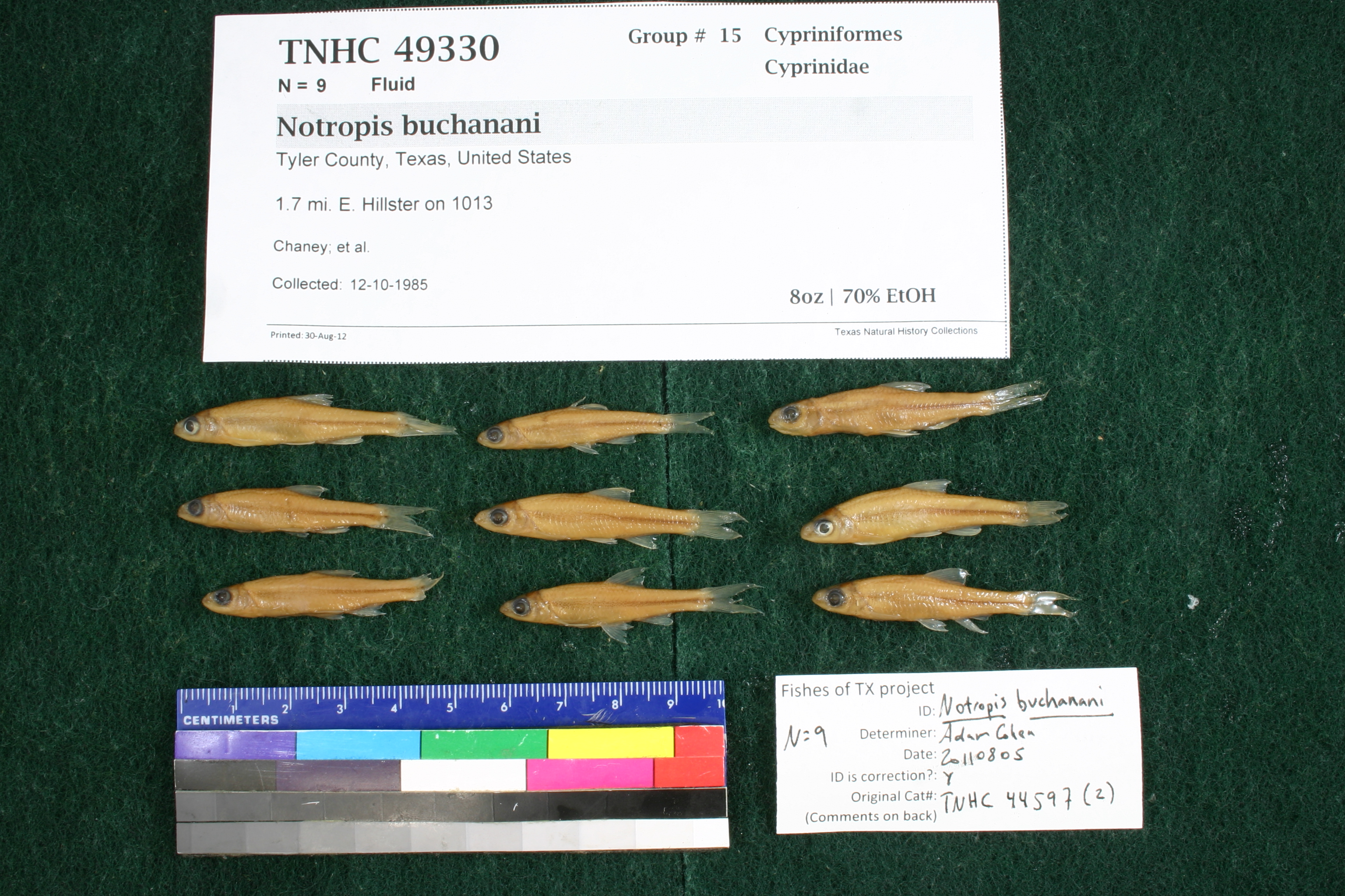
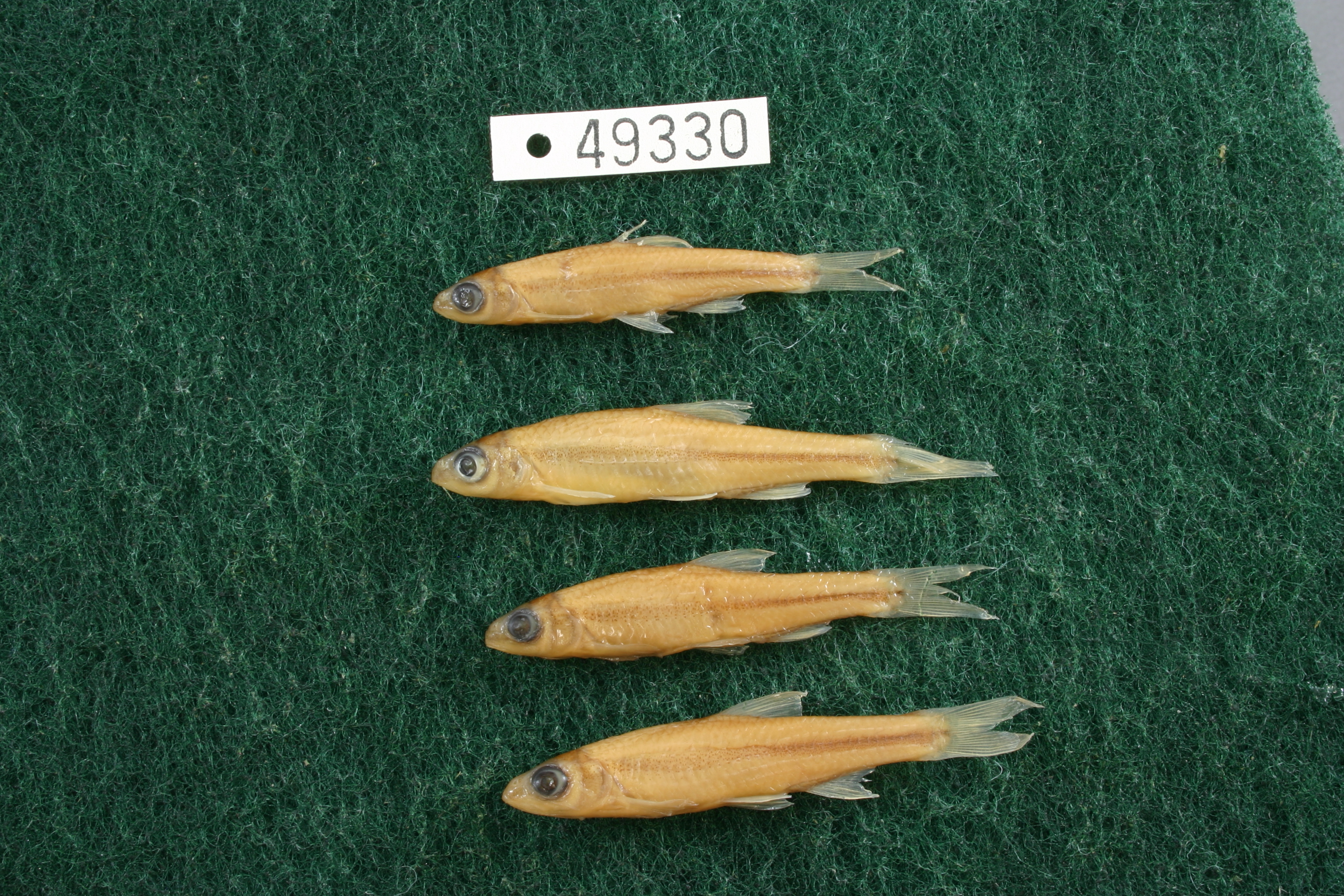
TNHCi_49330
Not suspect, not examinedPhotos
Map
Location
30.67576° N, 94.35440° W
(± 1561.1
m)
Taxonomy
FamilyCyprinidae
GenusNotropis
Speciesbuchanani
Specimen
Num Specimens9
PreparationFluid - 9
Identification
Identification RemarksCohen's notes: 8 and 9 anal rays, p-teeth 4-4 on 2, medium confidence could be N. volucellus.
Identified ByCohen, Adam
Date Identified2011.8.5
Collection Event
CollectorChaney; et al.
Collected Date1985.10.12
Field Numberz33205
Geography
CountryUnited States
StateTexas
CountyTyler
Locality1.7 mi E Hillister on FM 1013
Latitude30.67576
Longitude-94.3544037
DatumWGS84
Error1561.06368
Georeferencing
Georeference RemarksAssumed by road. Name is spelled Hillister, not Hillster.
Record
Occurrence RemarksSpecimens removed from TNHC 44597due to redetermination, in Aug. 2012.
Record Source
Source
Texas Natural History Collections
(type: specimens)
Institution
Texas Natural History Collections
(type: museum)
Curator
Dean Hendrickson
Record Added
June 24, 2020
Record Last Modified
March 23, 2026
Data Processing Track
Track 3
From Data Set Received
5/2017 to 11/2017
Identification
Suspect Notes
None
Count
9
Current Determination
Determiner
Unknown
Determination Date
Unknown
Determination Type
Unspecified
Identification Comments
None
Identification Confidence
Unknown
Collecting Event
Collected
Oct. 12, 1985
Collector(s)
Collecting Event ID
316698
Field Notes
There are no field notes available.
Locality
Jurisdiction
Tyler, Texas
Name
1.7 mi E Hillister on FM 1013
Hydrography
Texas-Gulf Region
Neches
Neches
Village
Turkey Creek-Village Creek
Little Turkey Creek-Turkey Creek
Captive
no
Locality Photos
No locality photos available.
HUC 12
120200060206
Georeferencing Remarks
Georeference needs verification/refinement; coordinates provided by donor
Georeferencing Annotation
—
Has not been Georeferenced because
This record, being part of the track 3 import, is not formally georeferenced by FoTX staff at this time. However, to allow mapping and visualization of this record, locality information has been provisionally accepted if provided by the donor or if location text could be matched to previously georeferenced records by FoTX team or donor data. For many records spatial error is either accepted from the donor (when provided) or derived based on coordinate precision.
Comments On TNHCi_49330