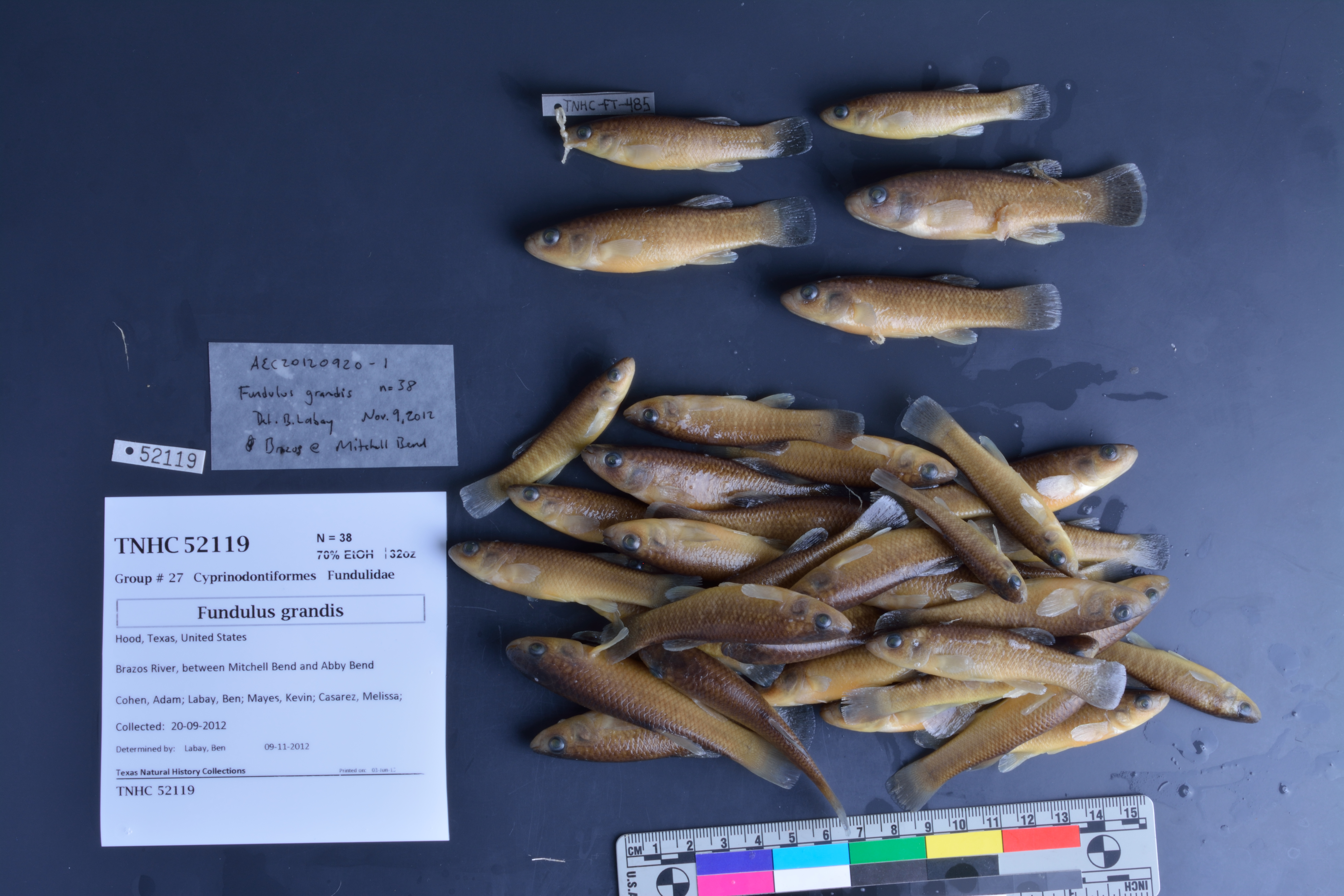
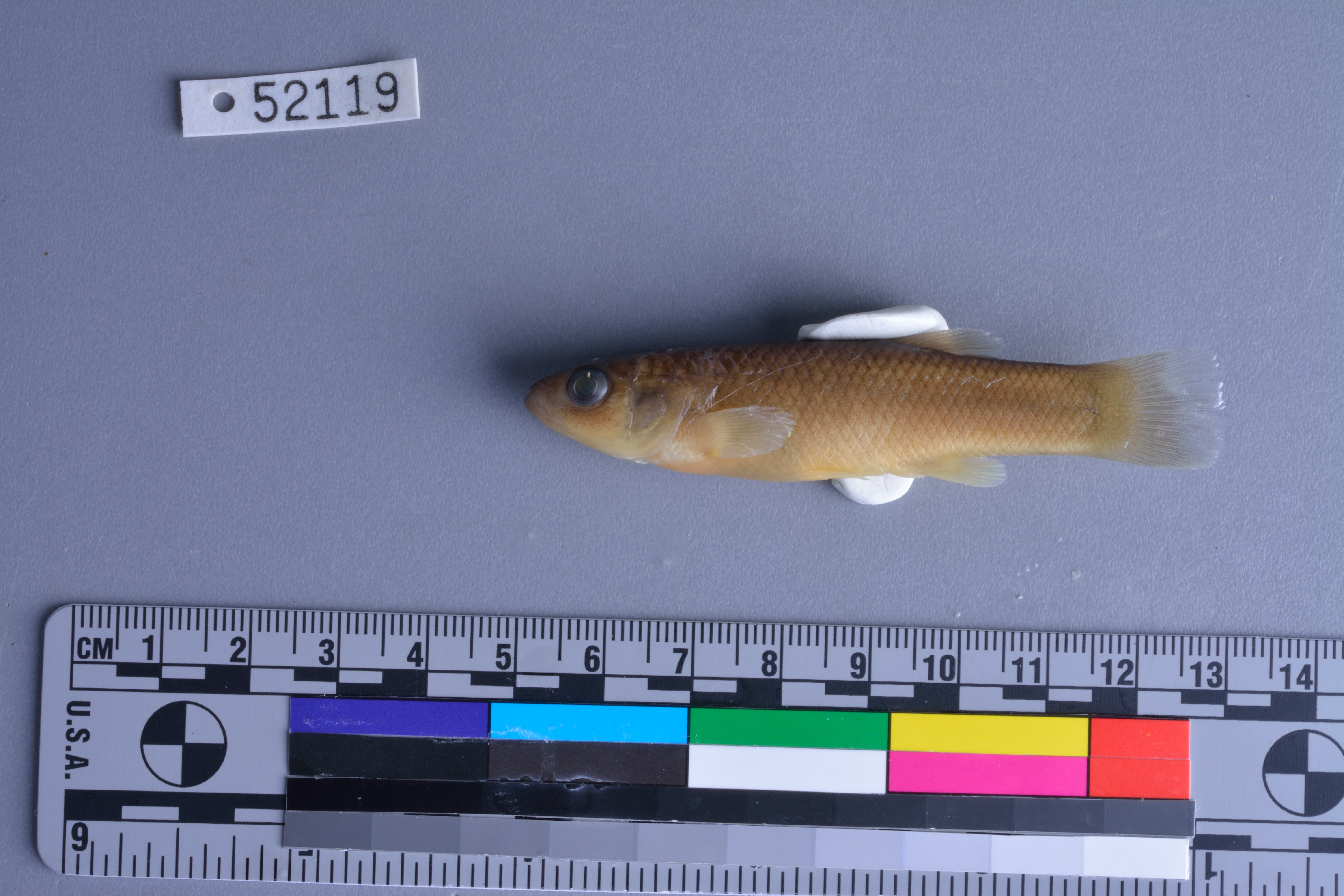
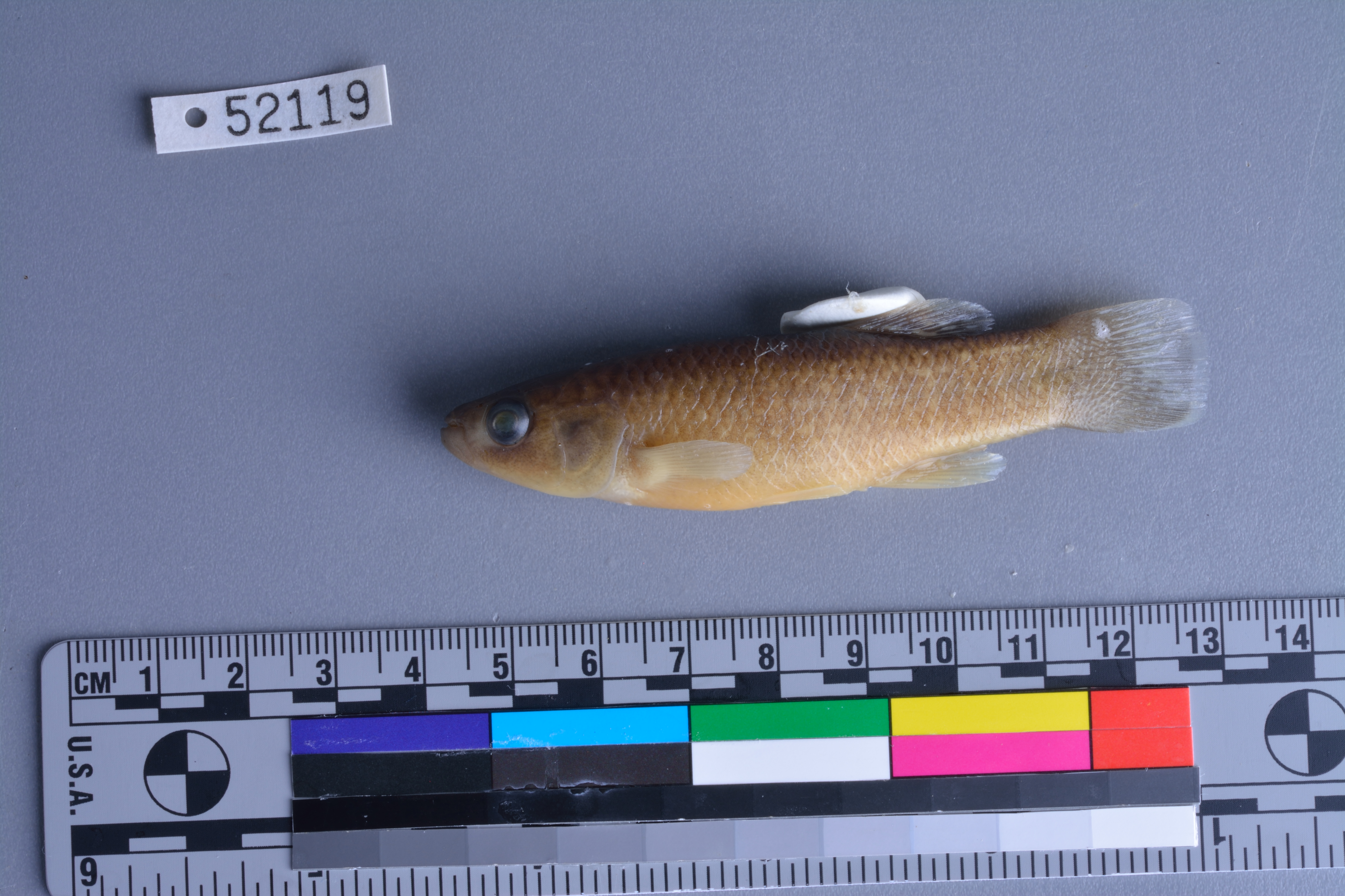
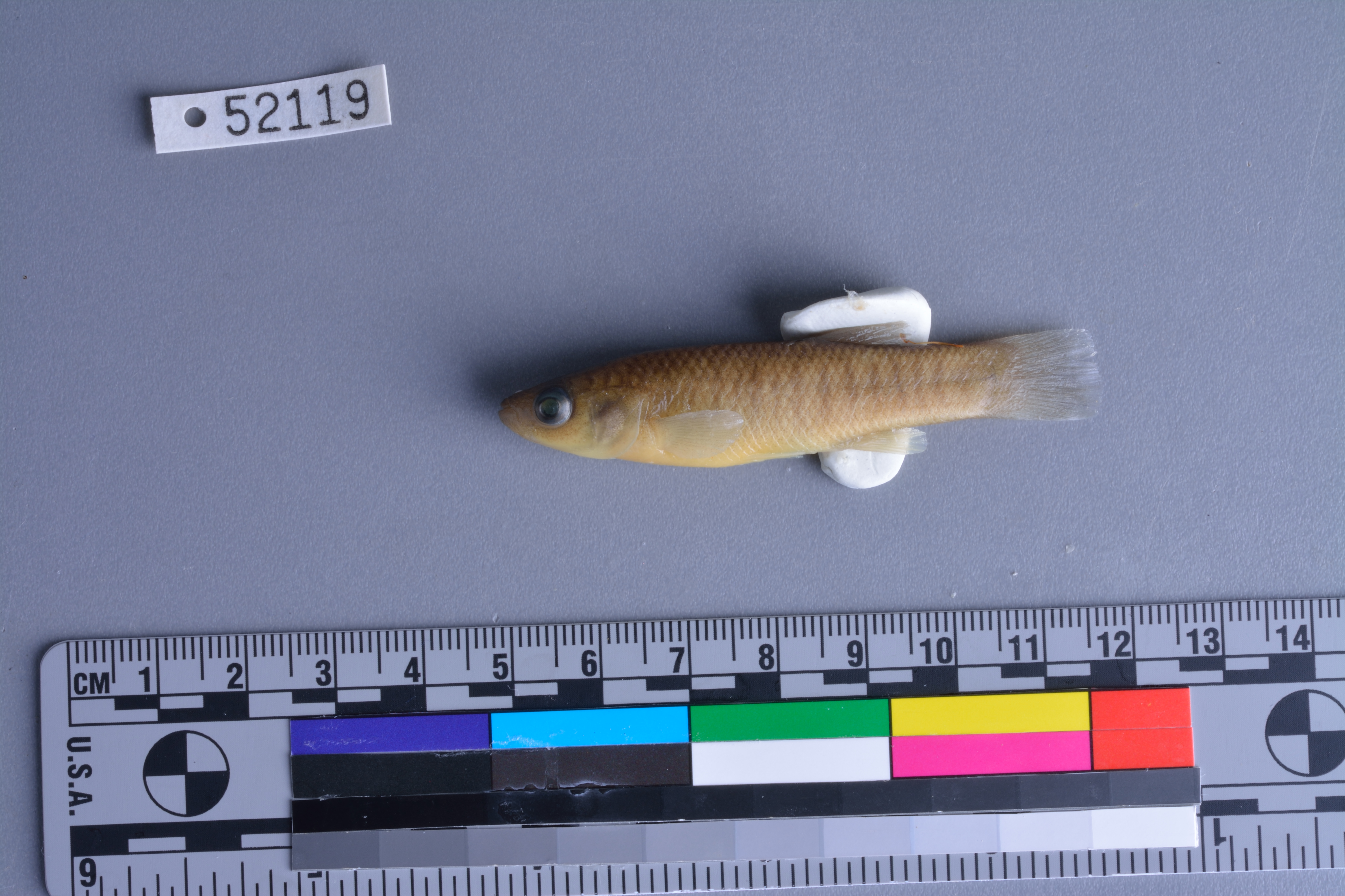
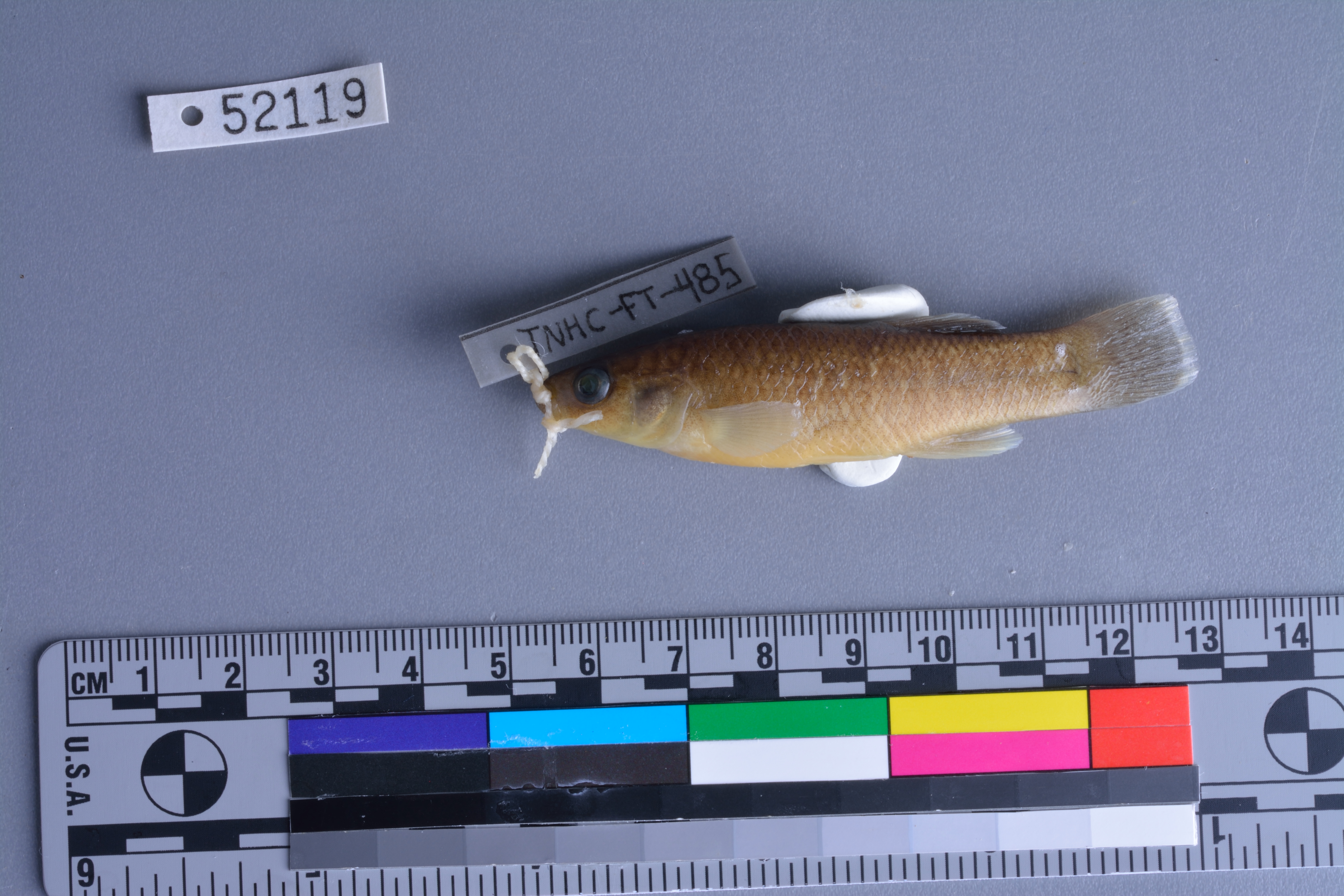
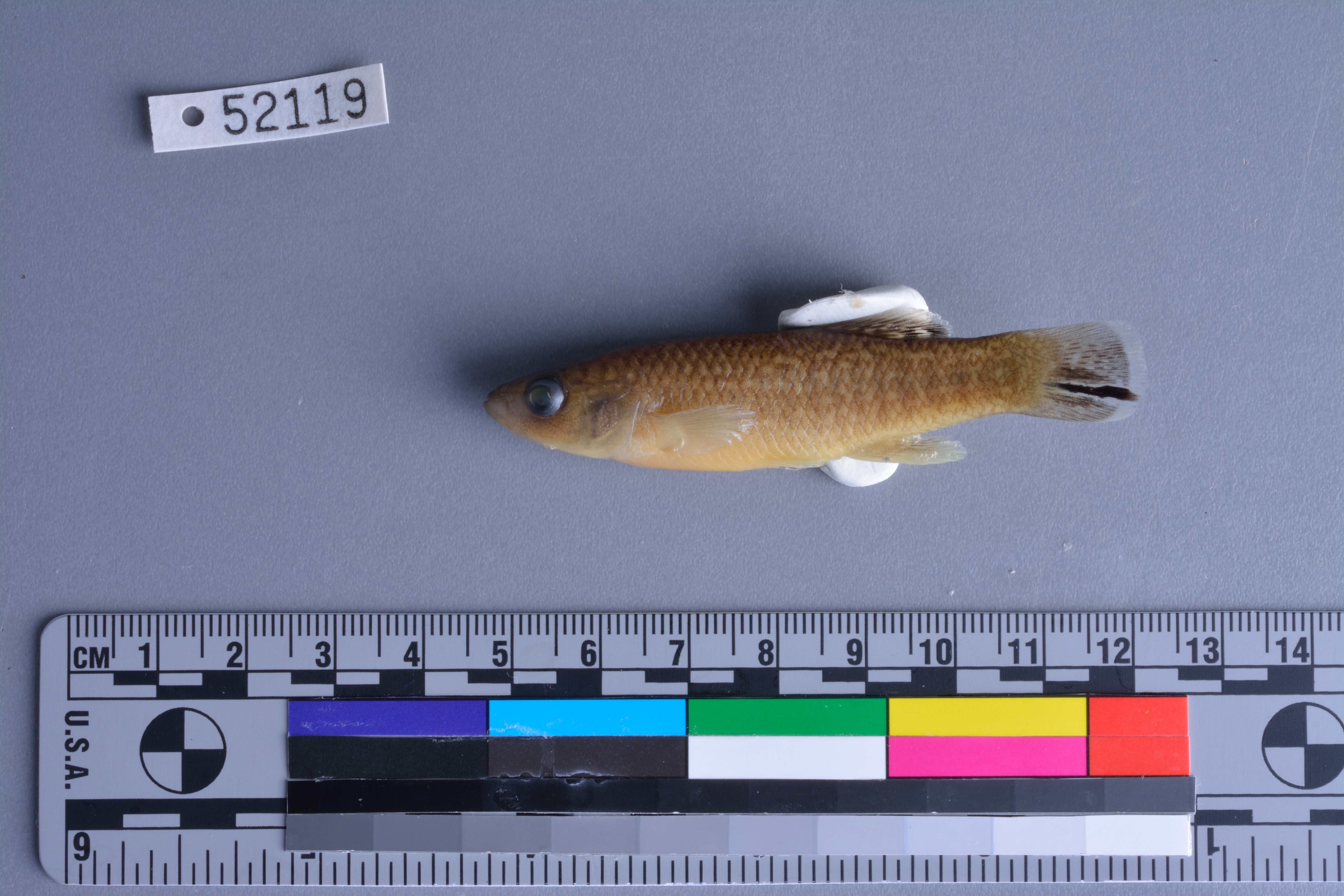
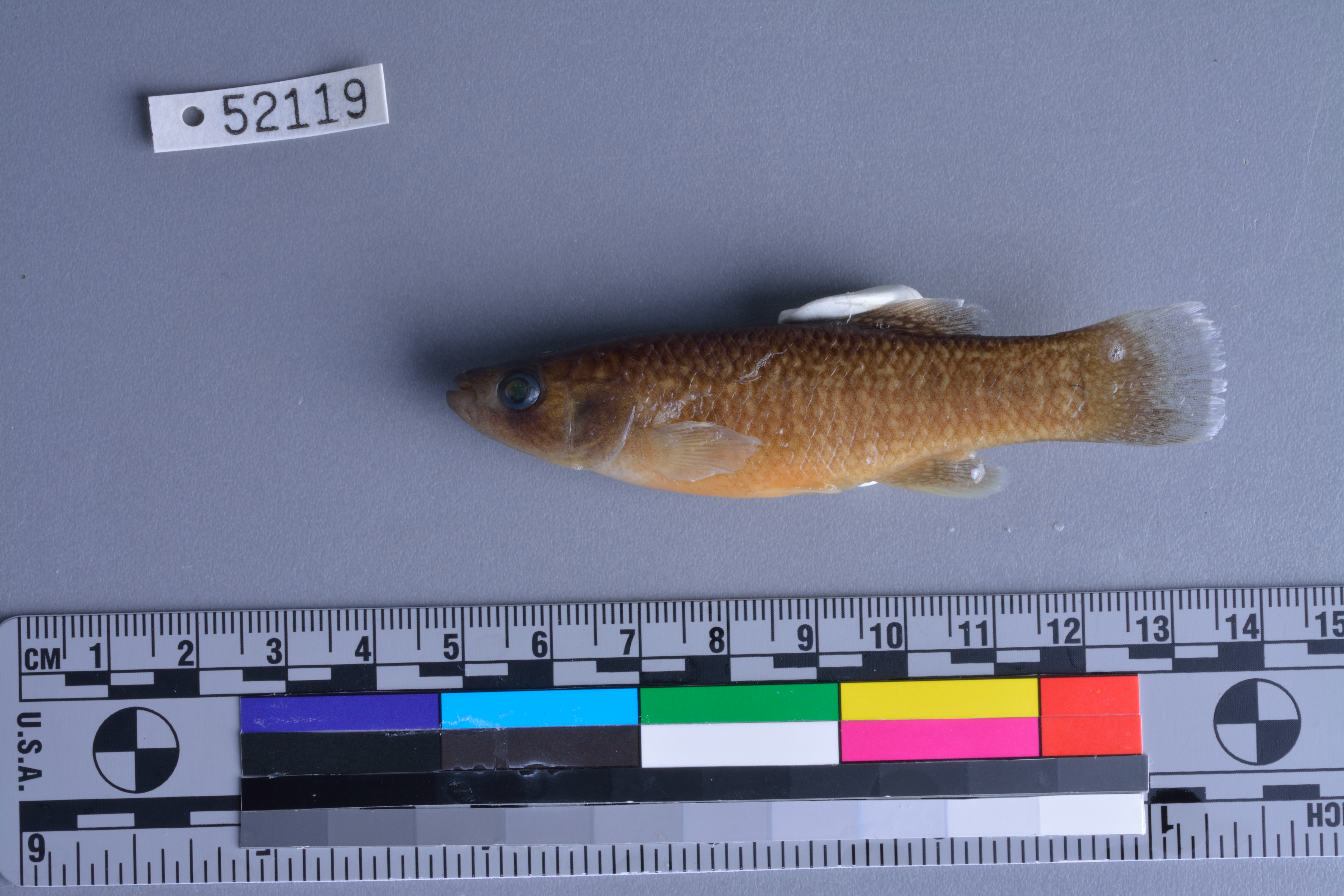
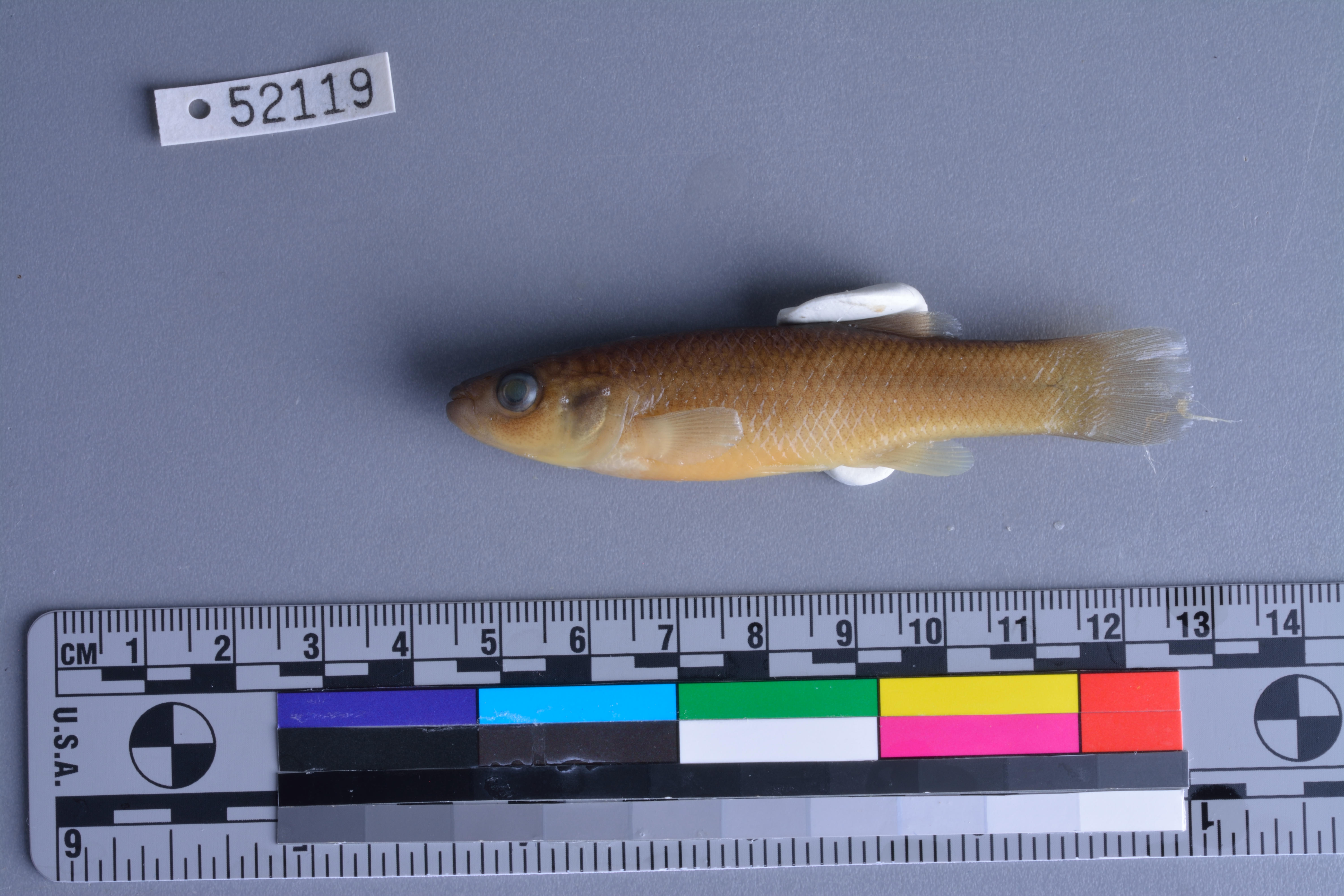
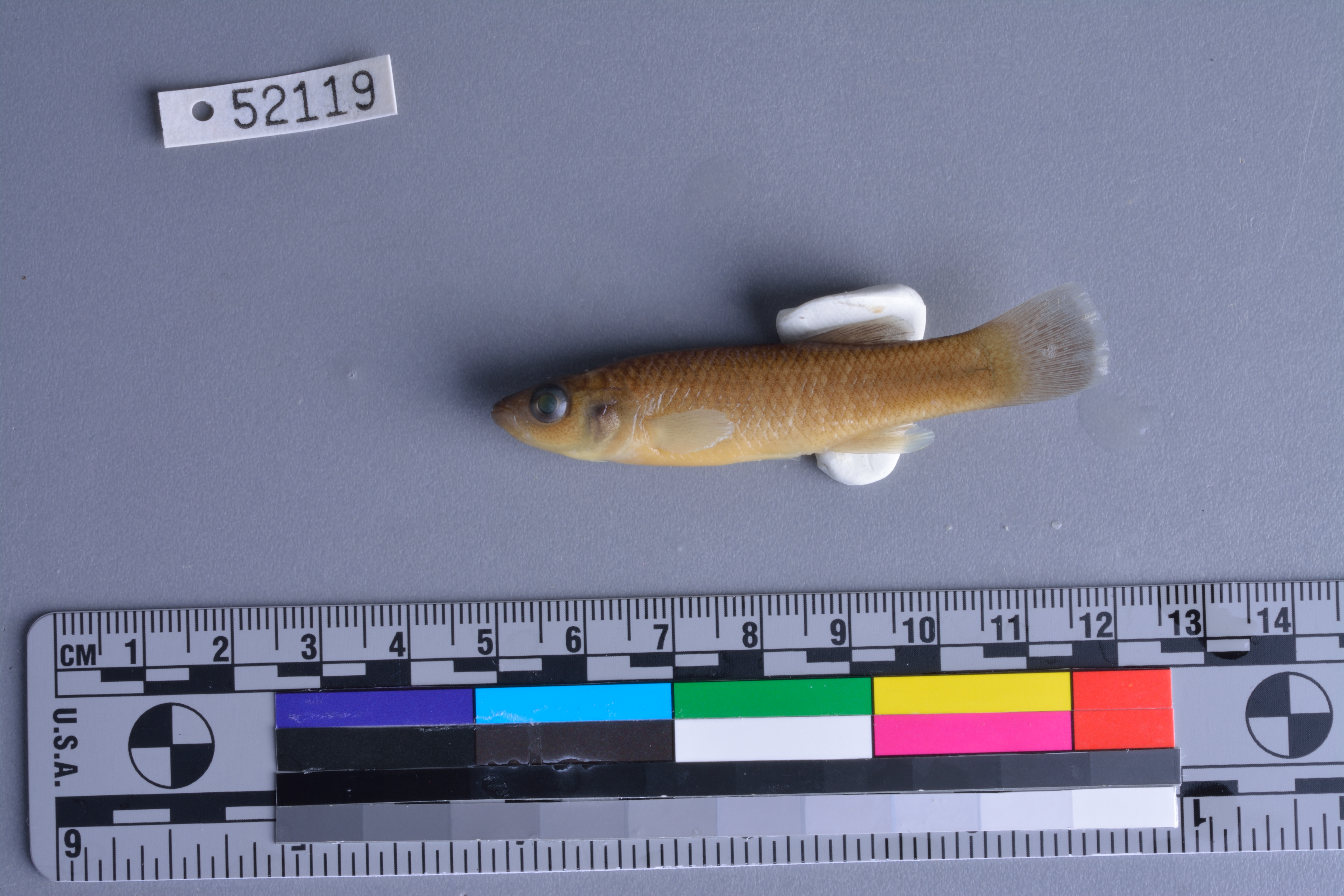
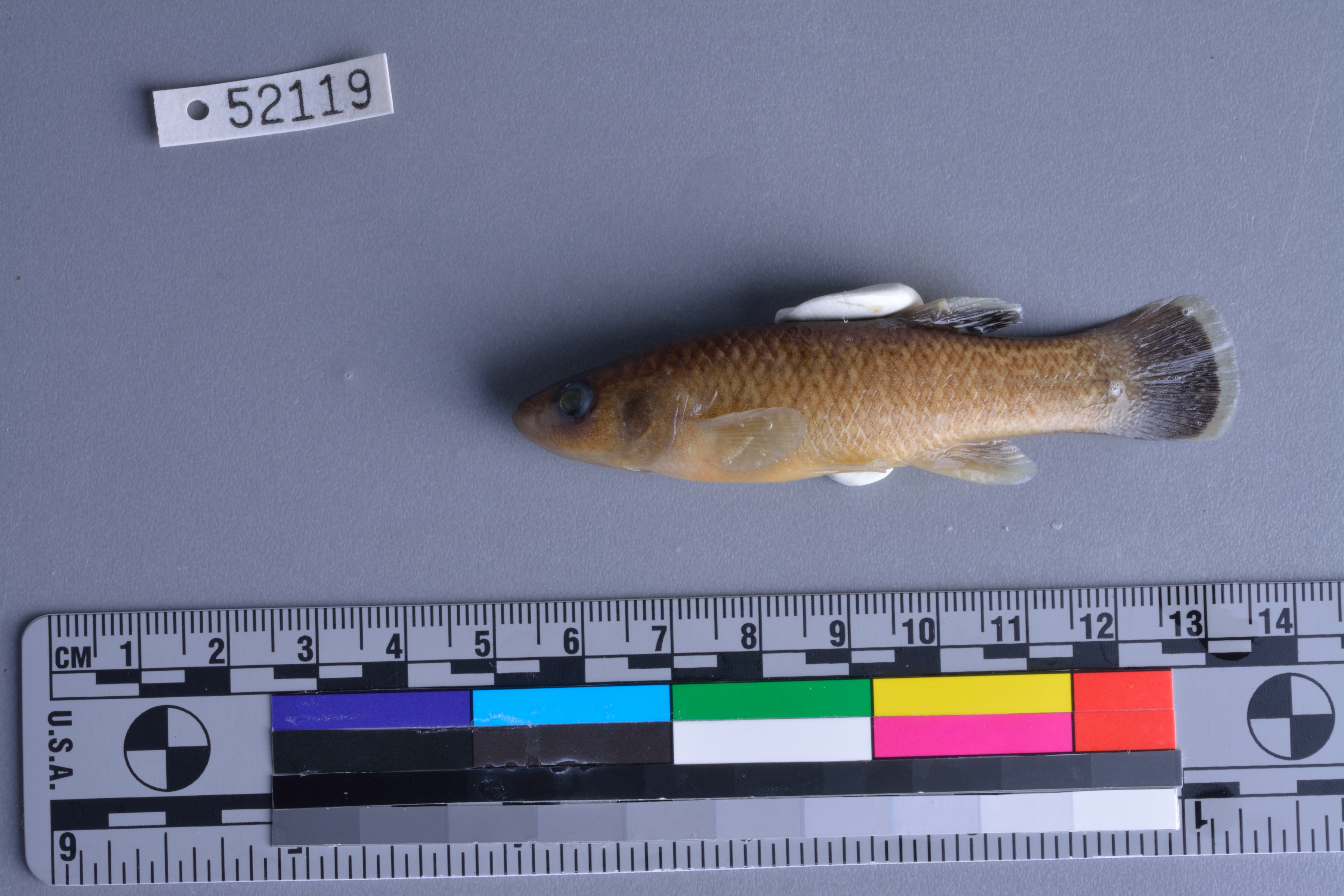
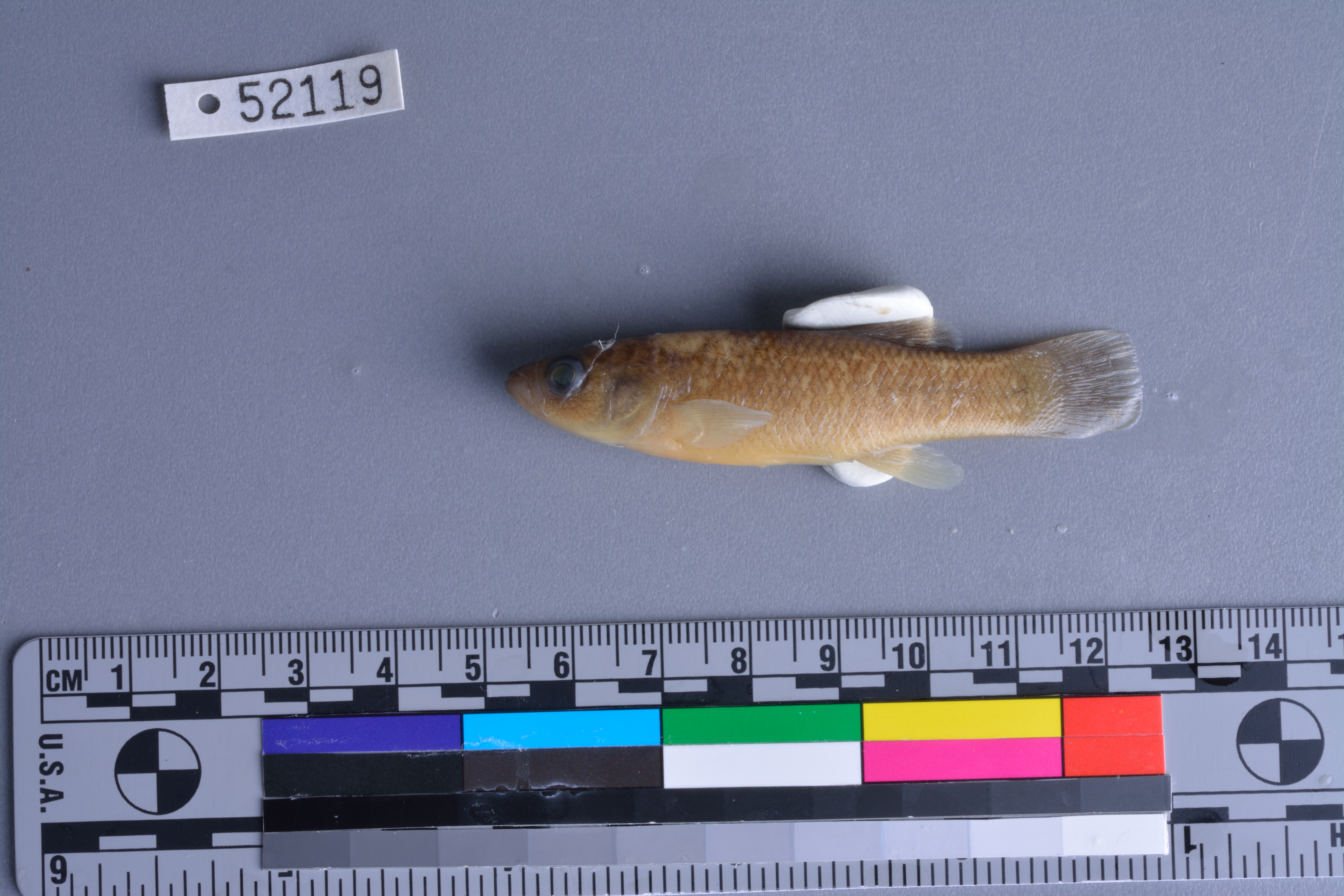
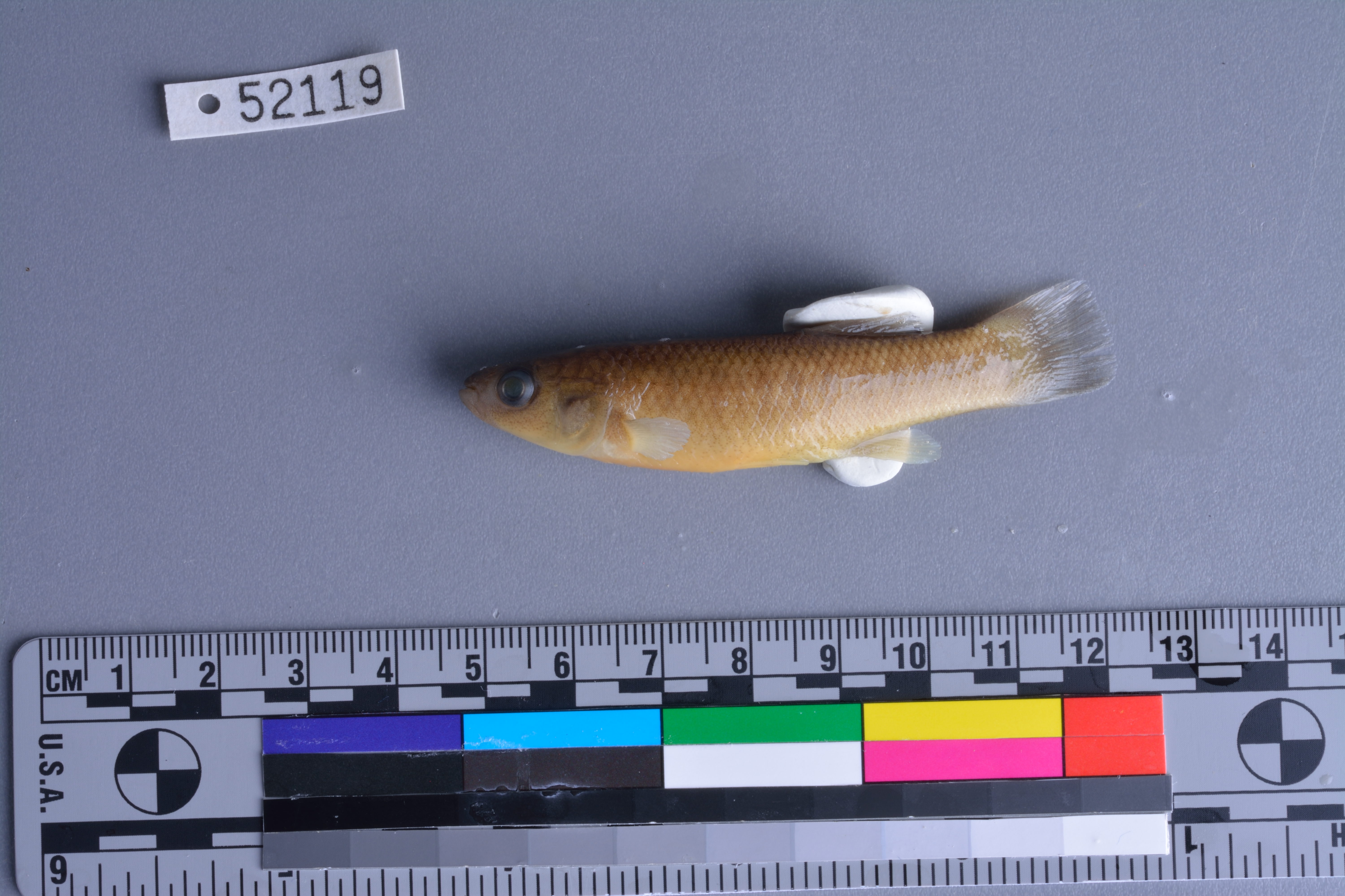
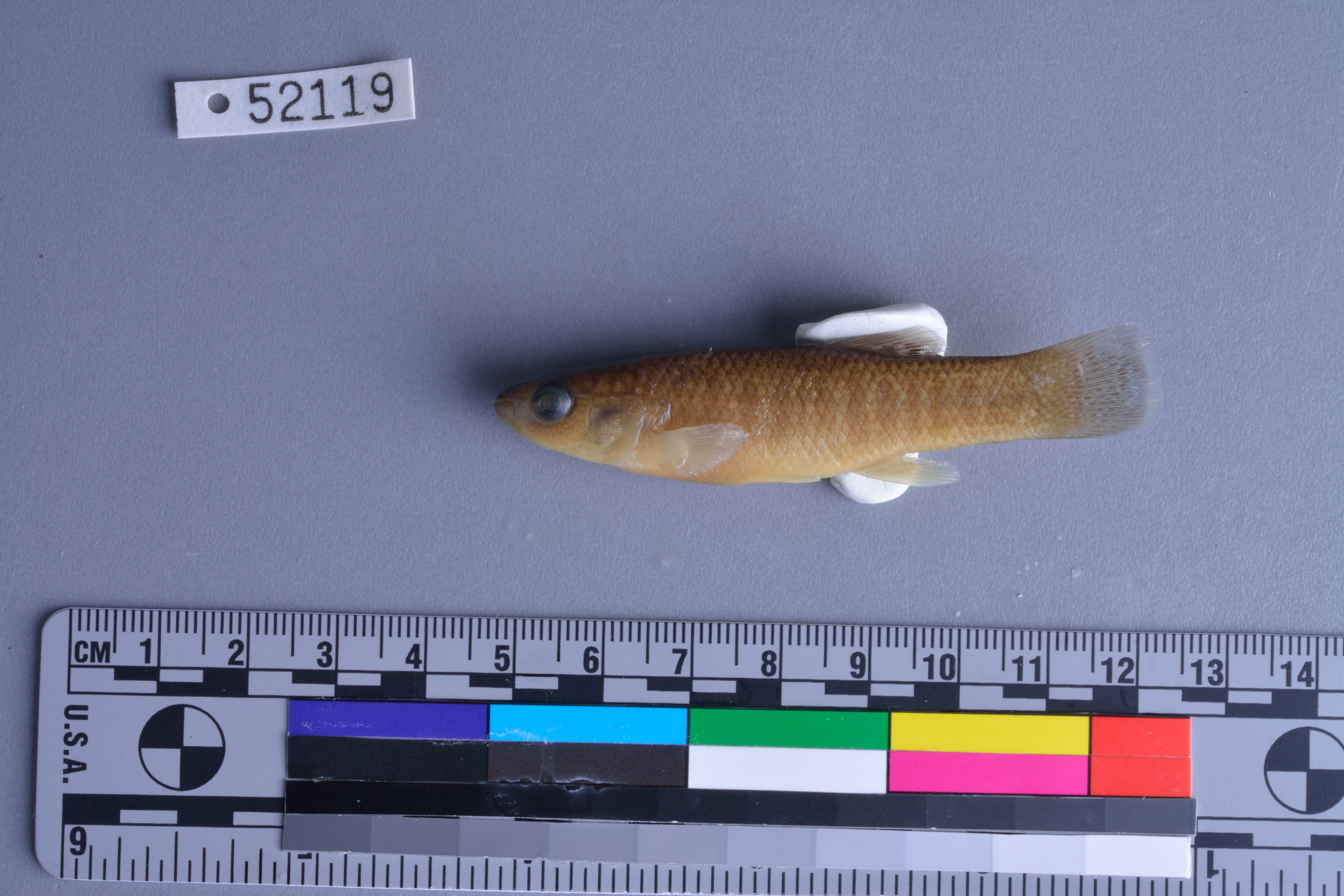
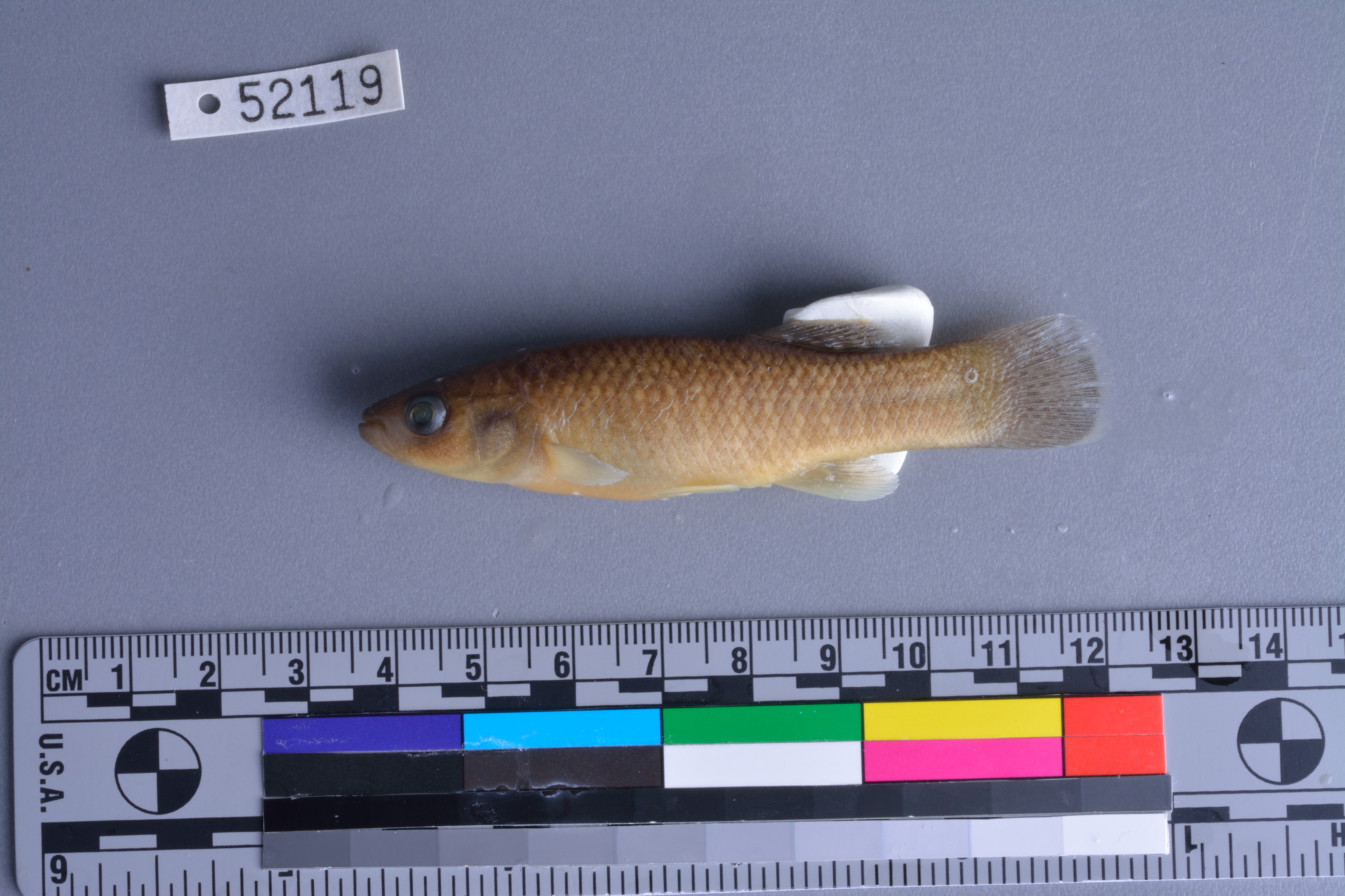
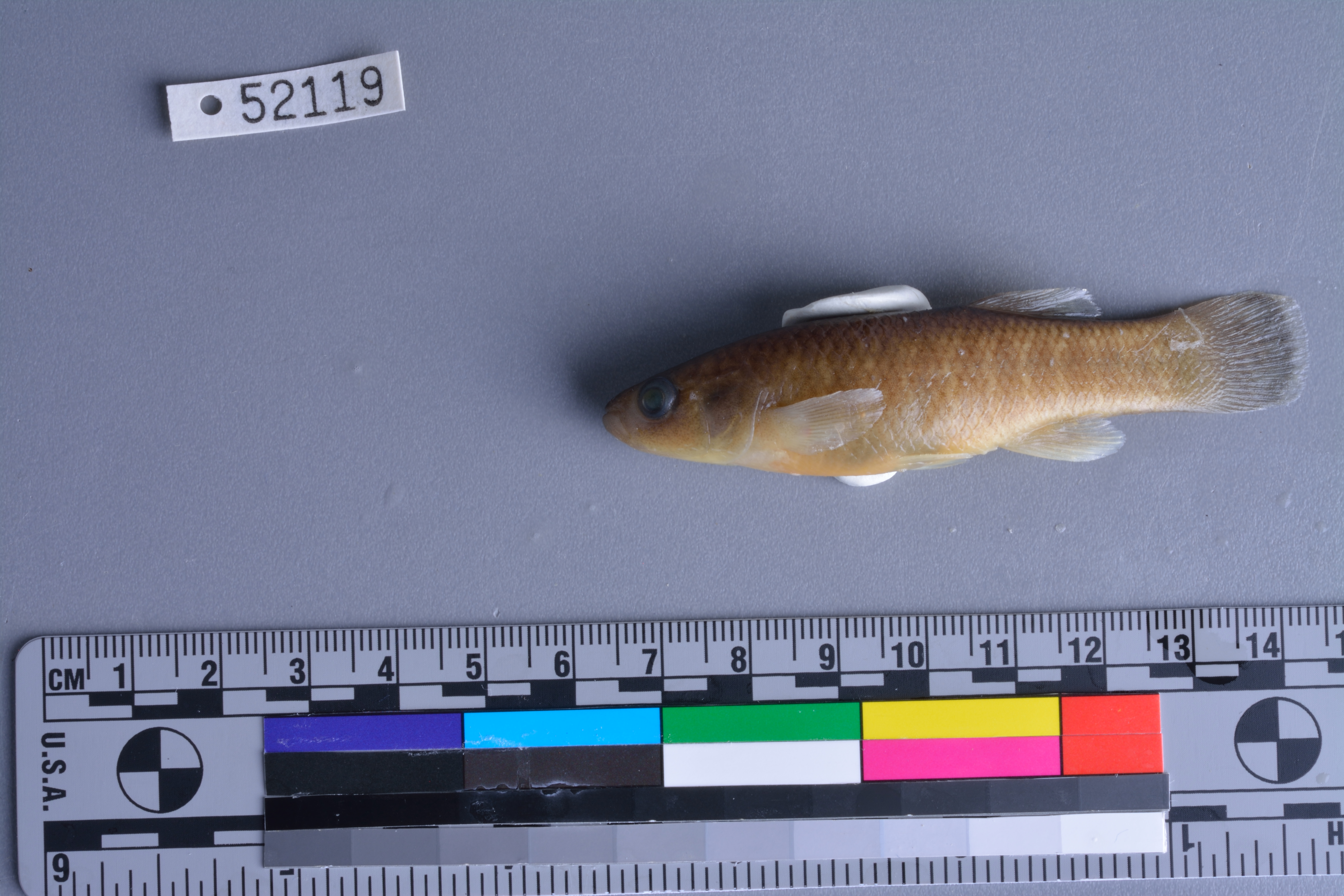
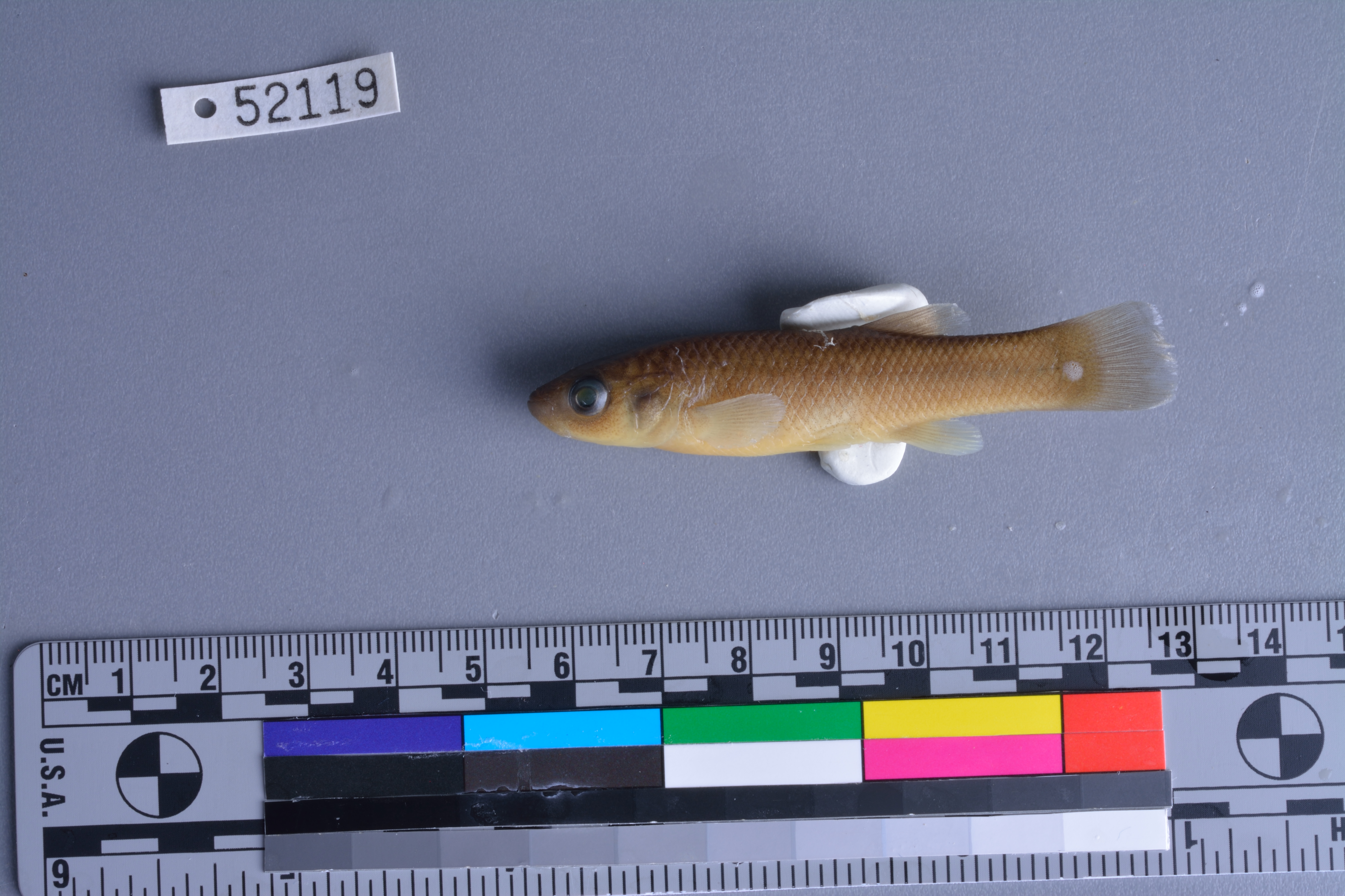
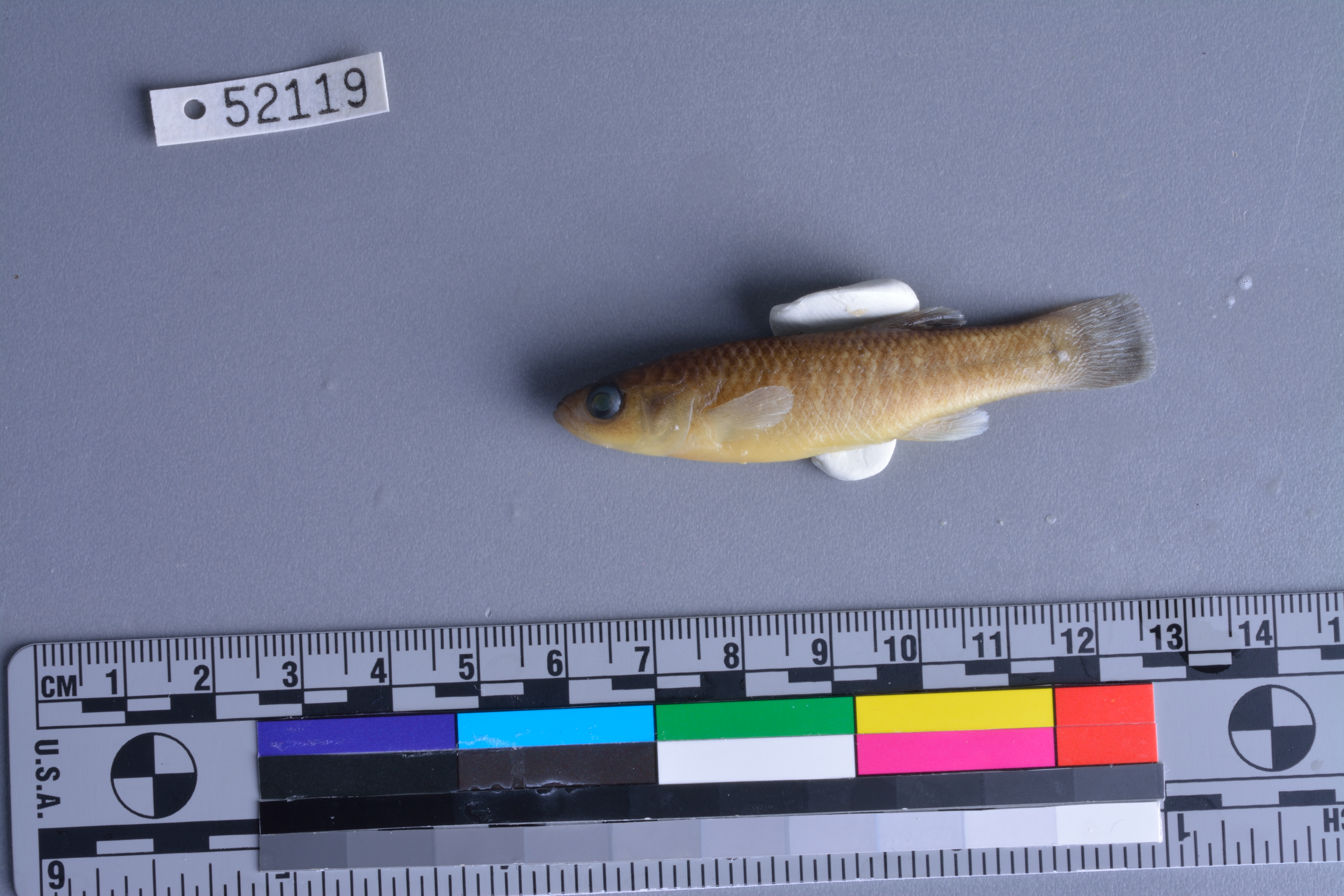
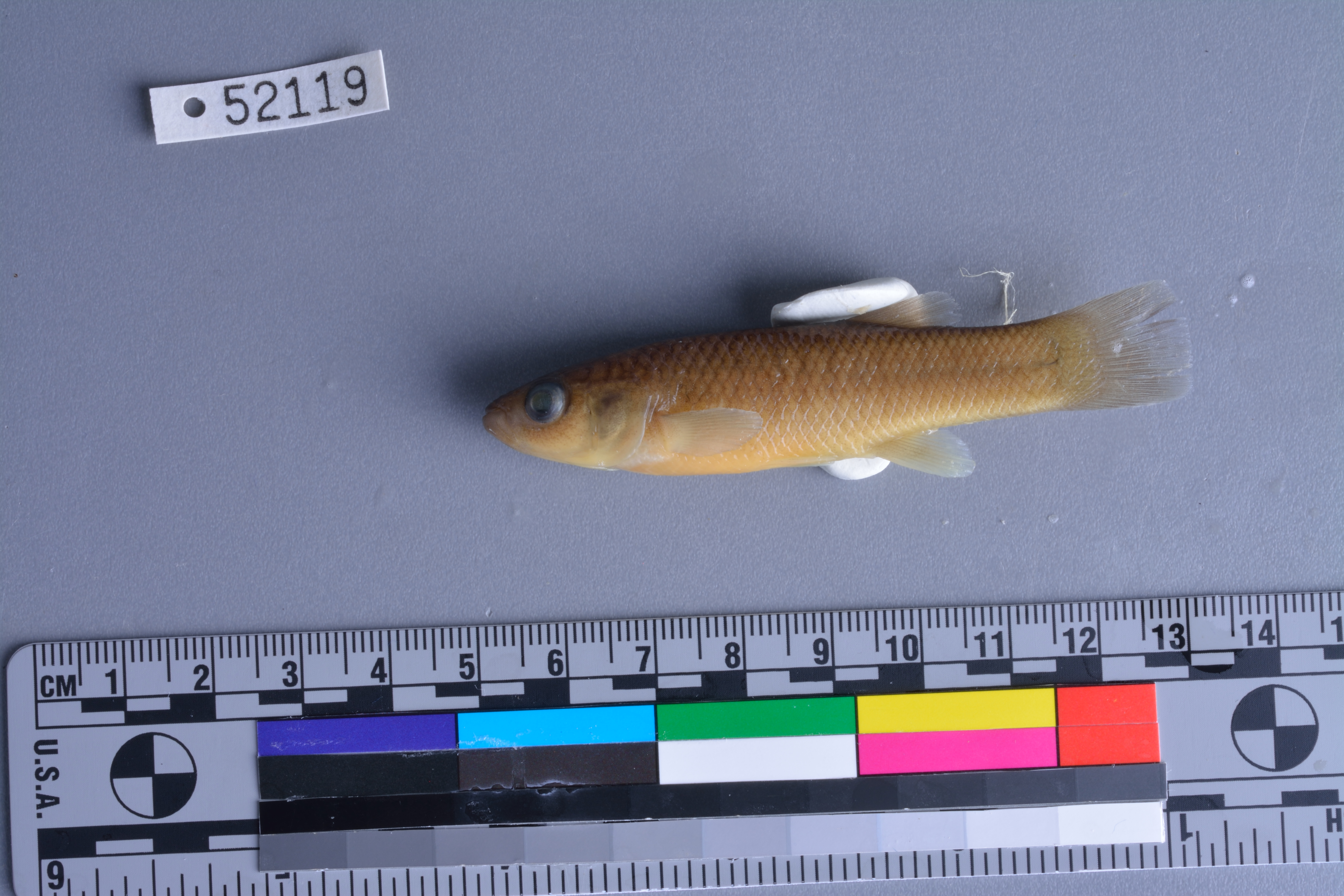
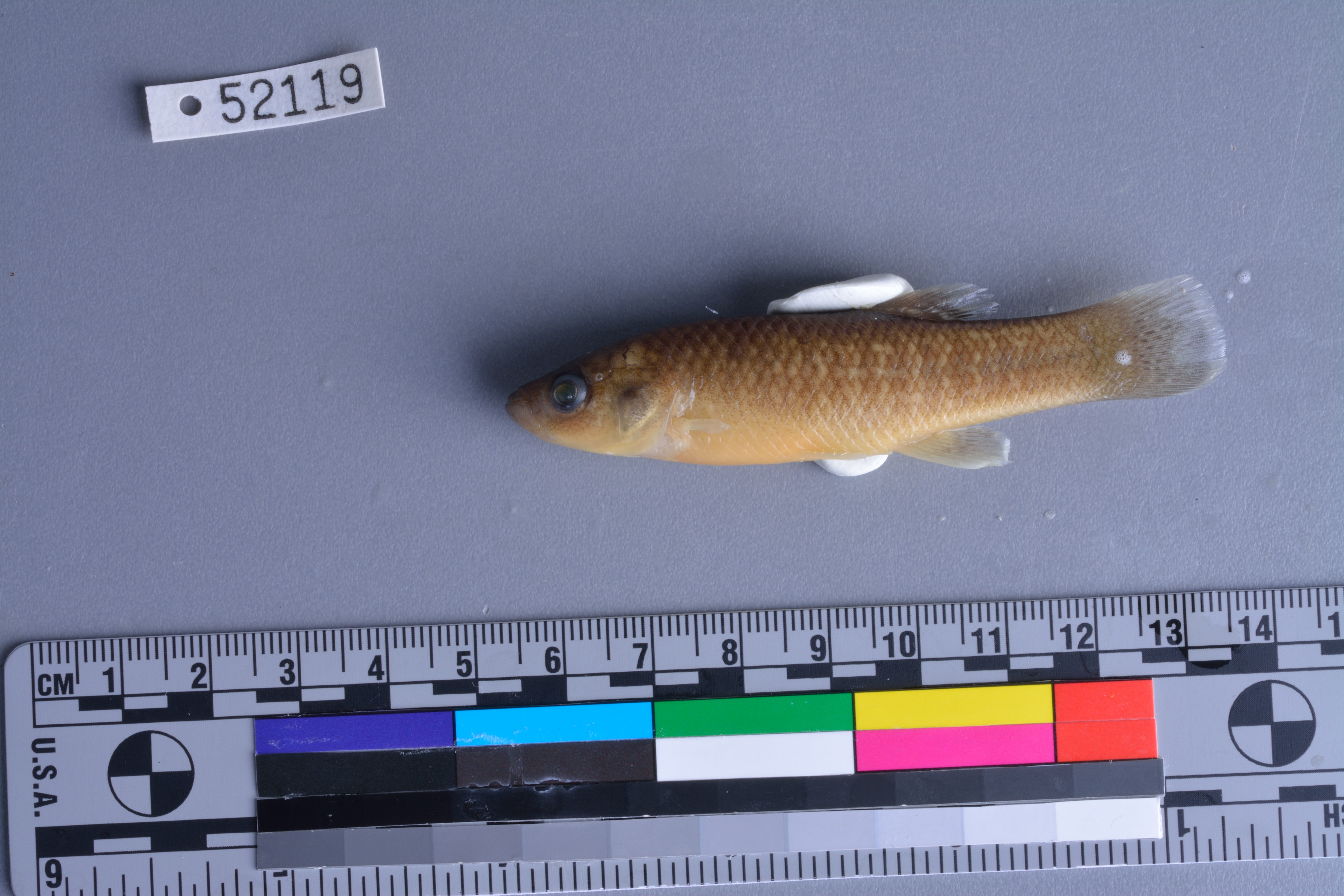
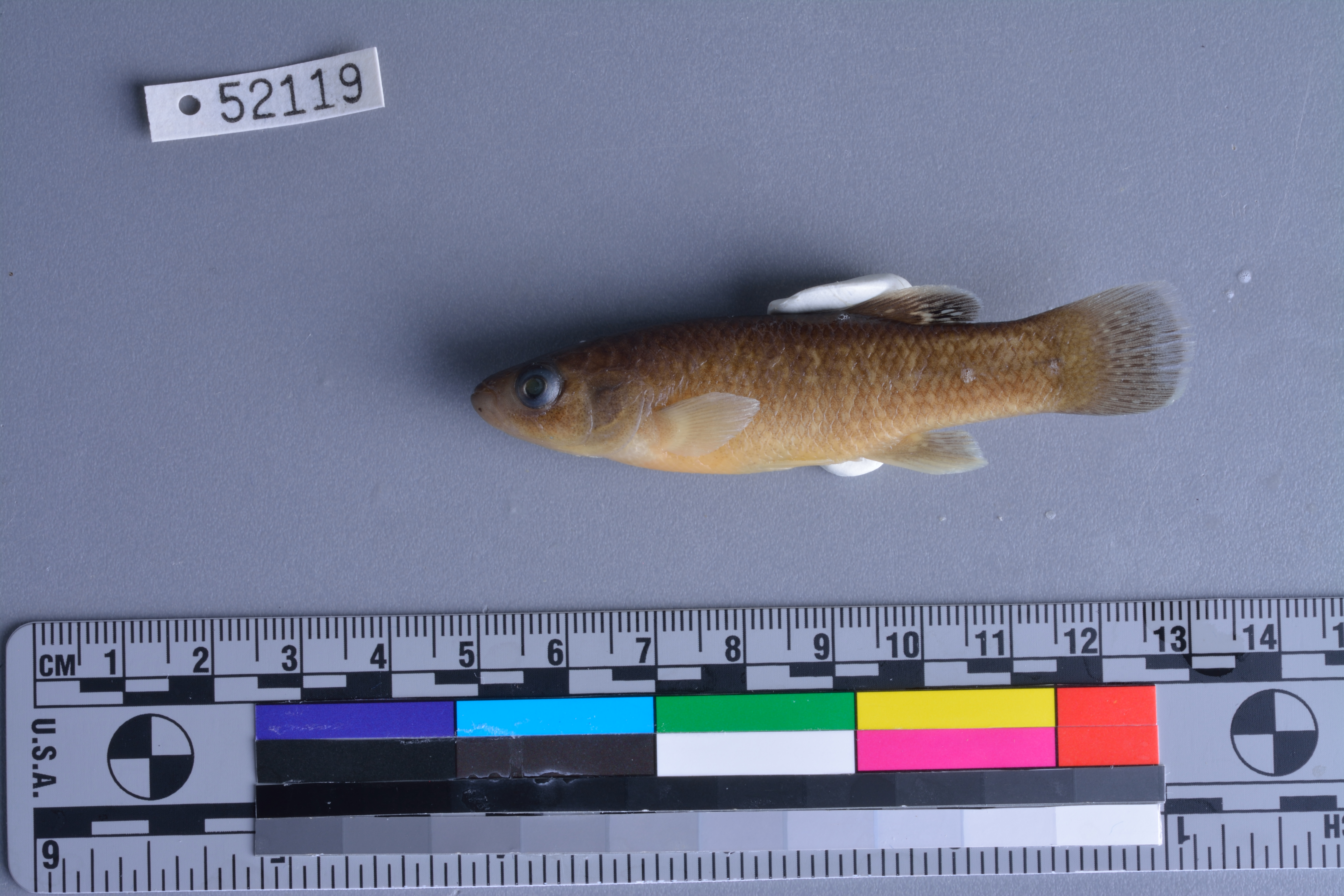
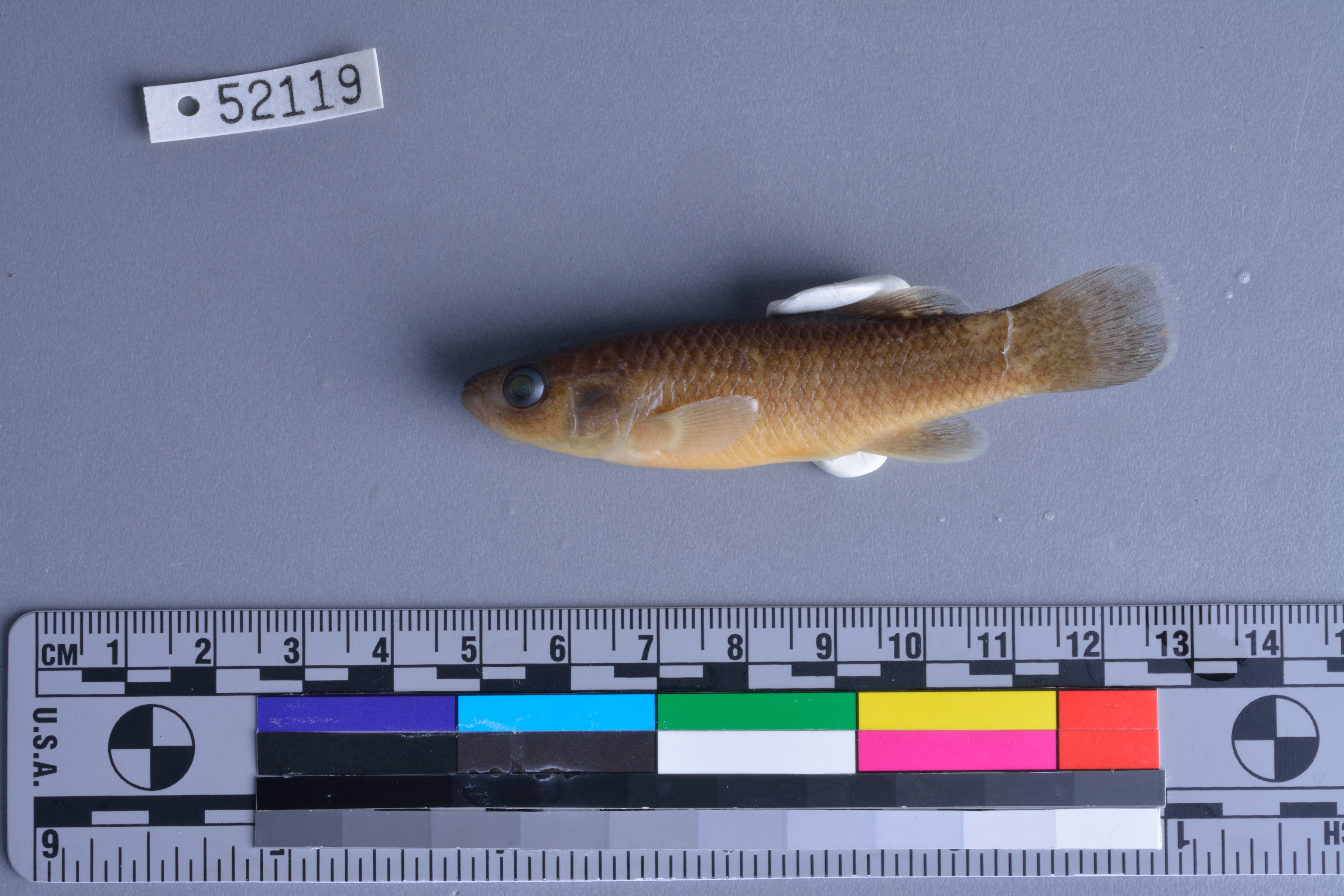
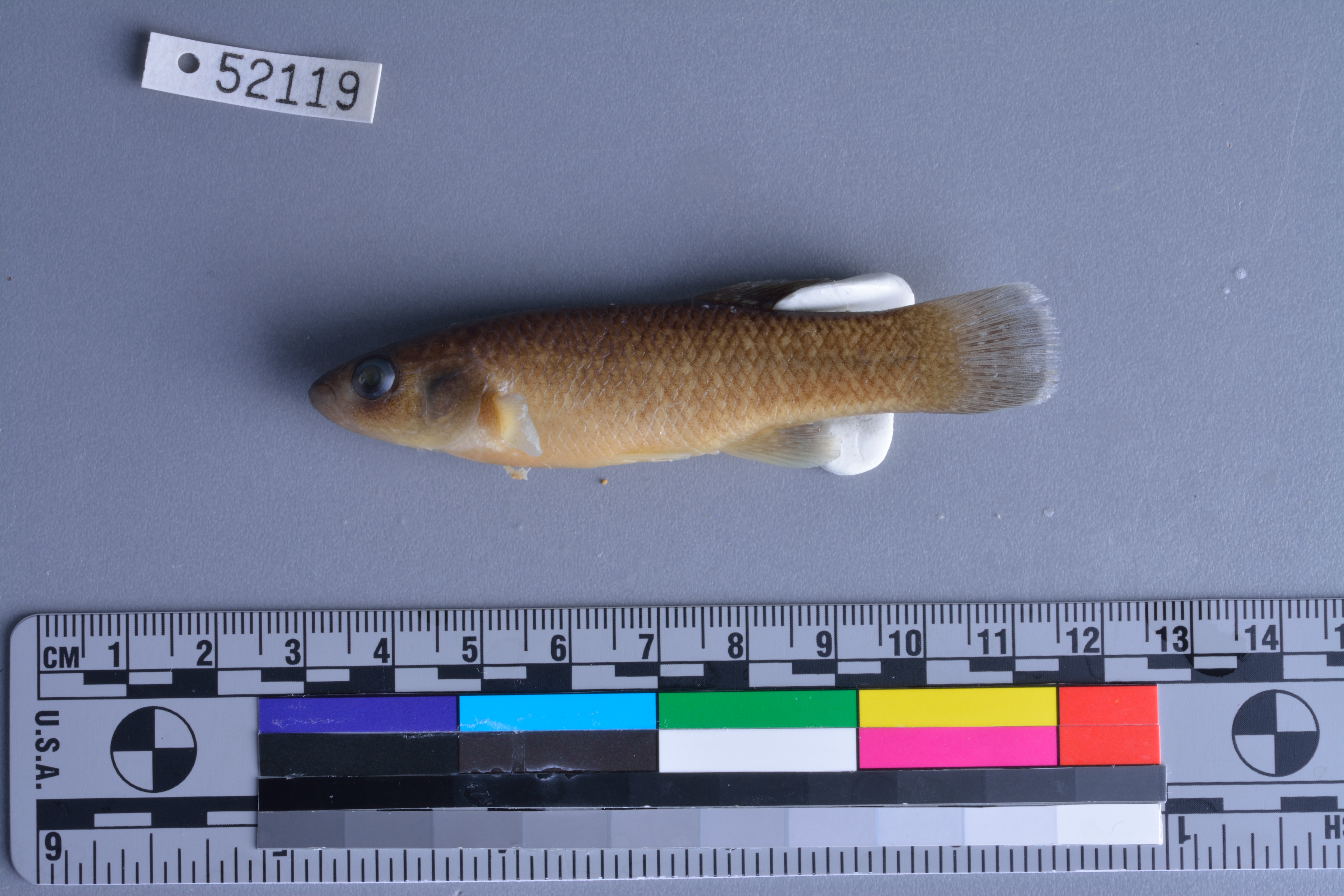
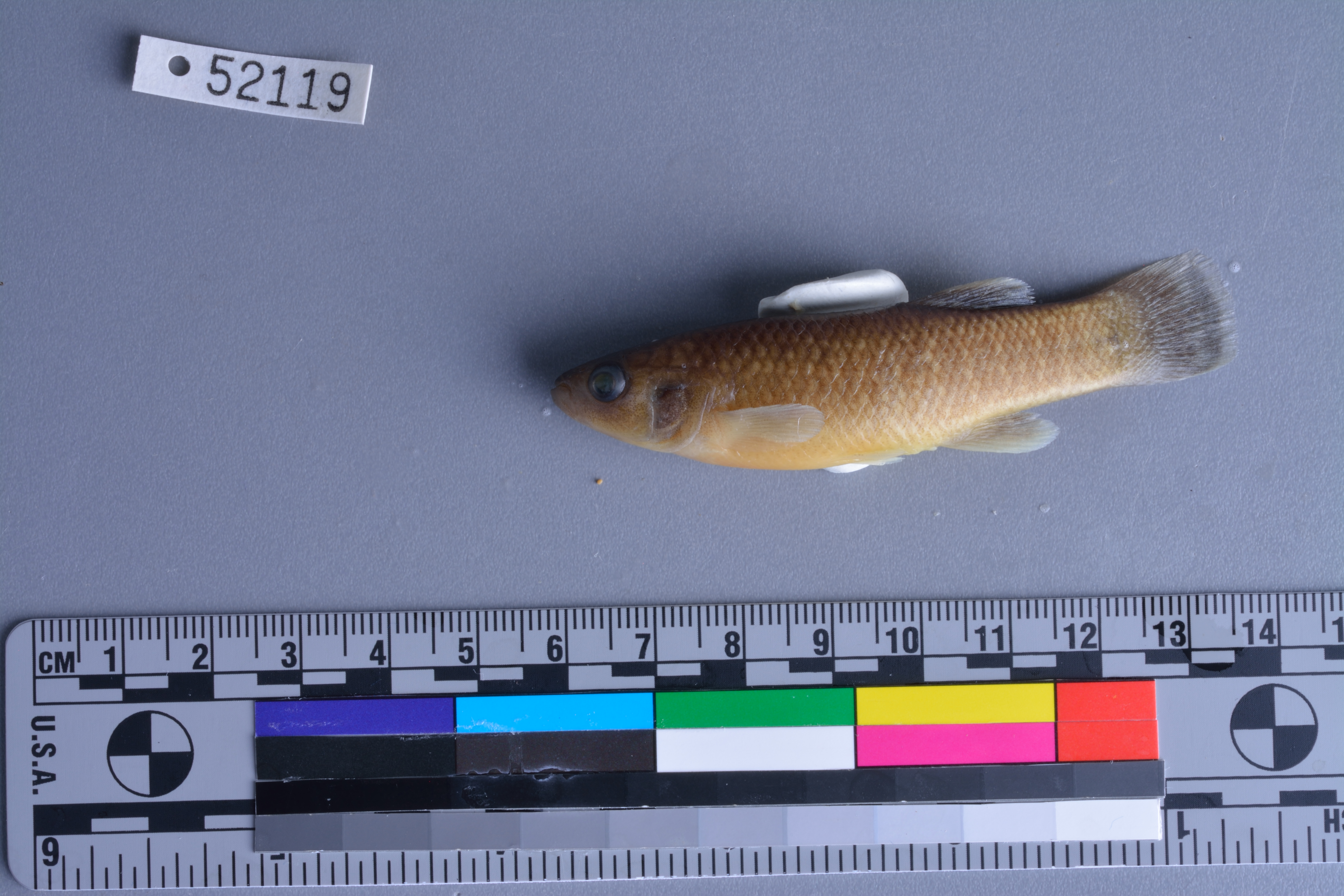
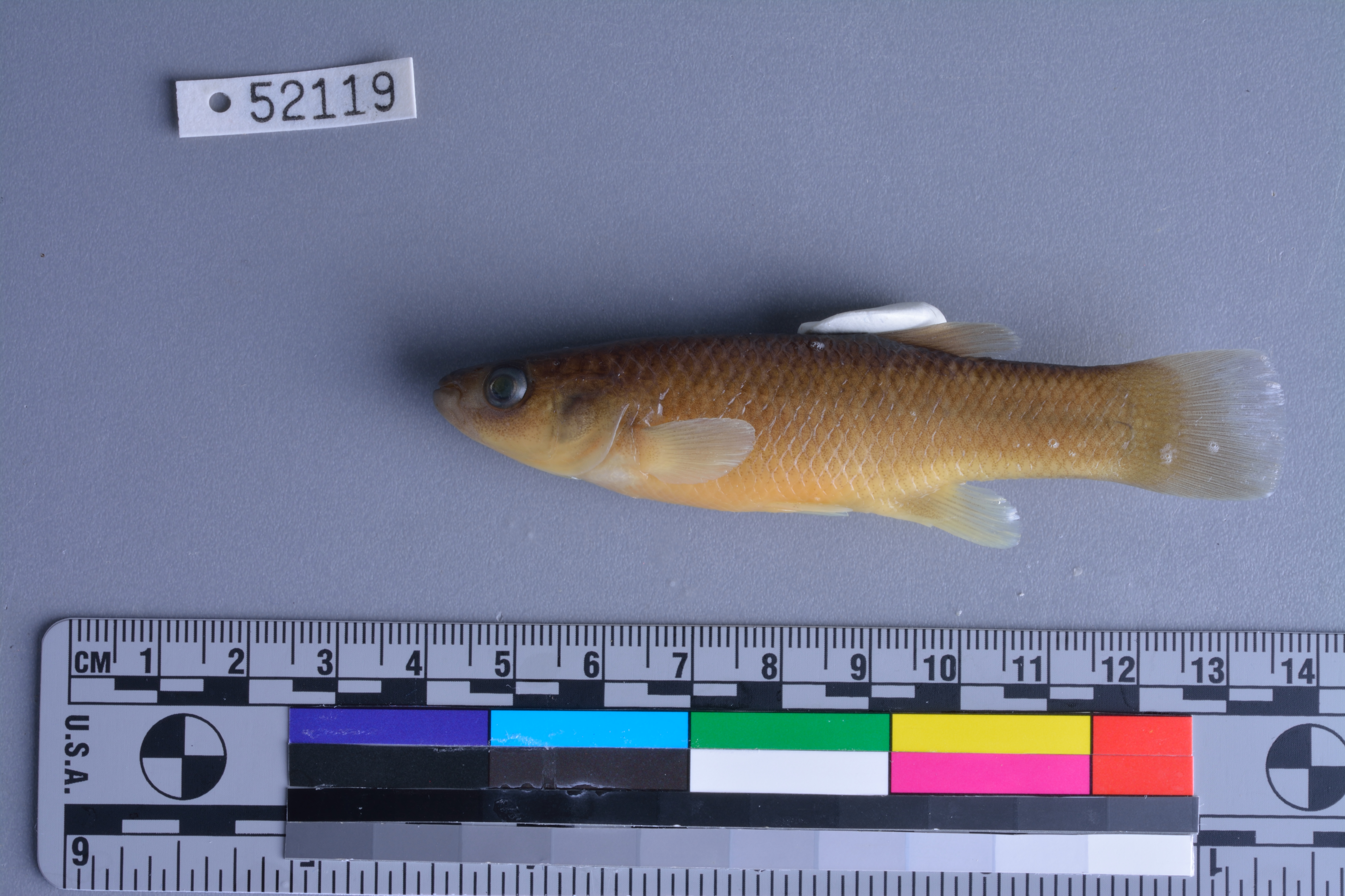
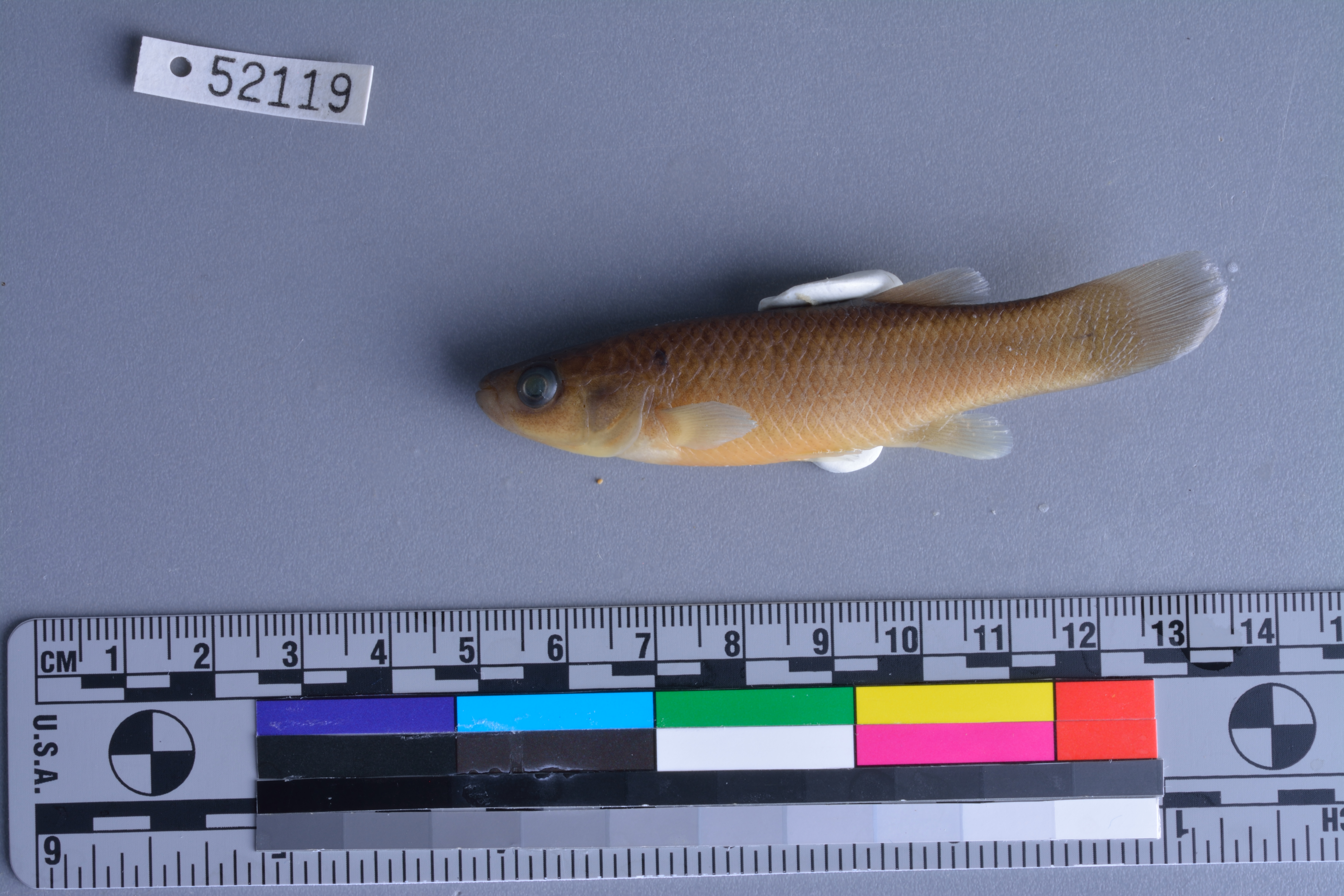
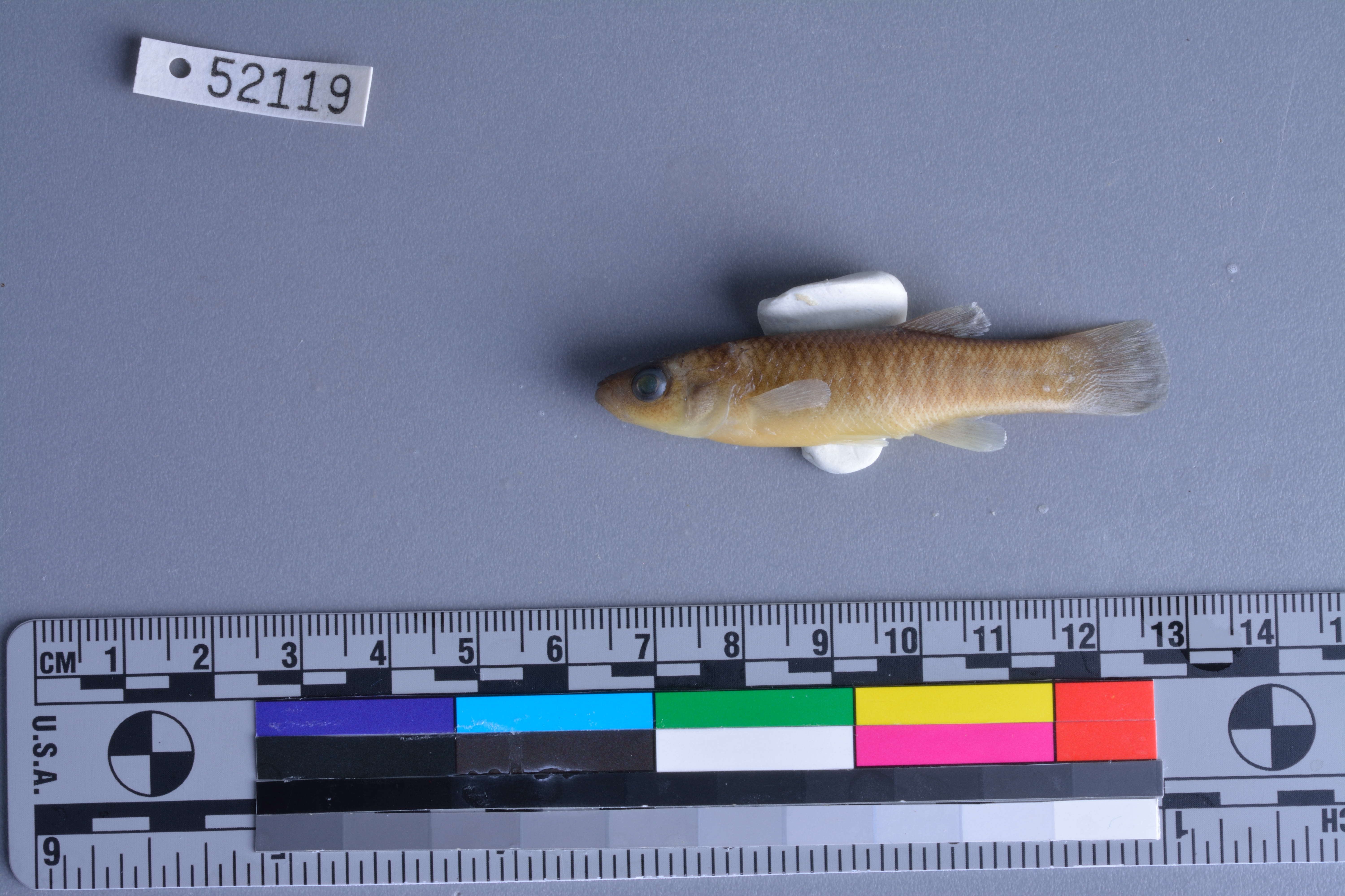
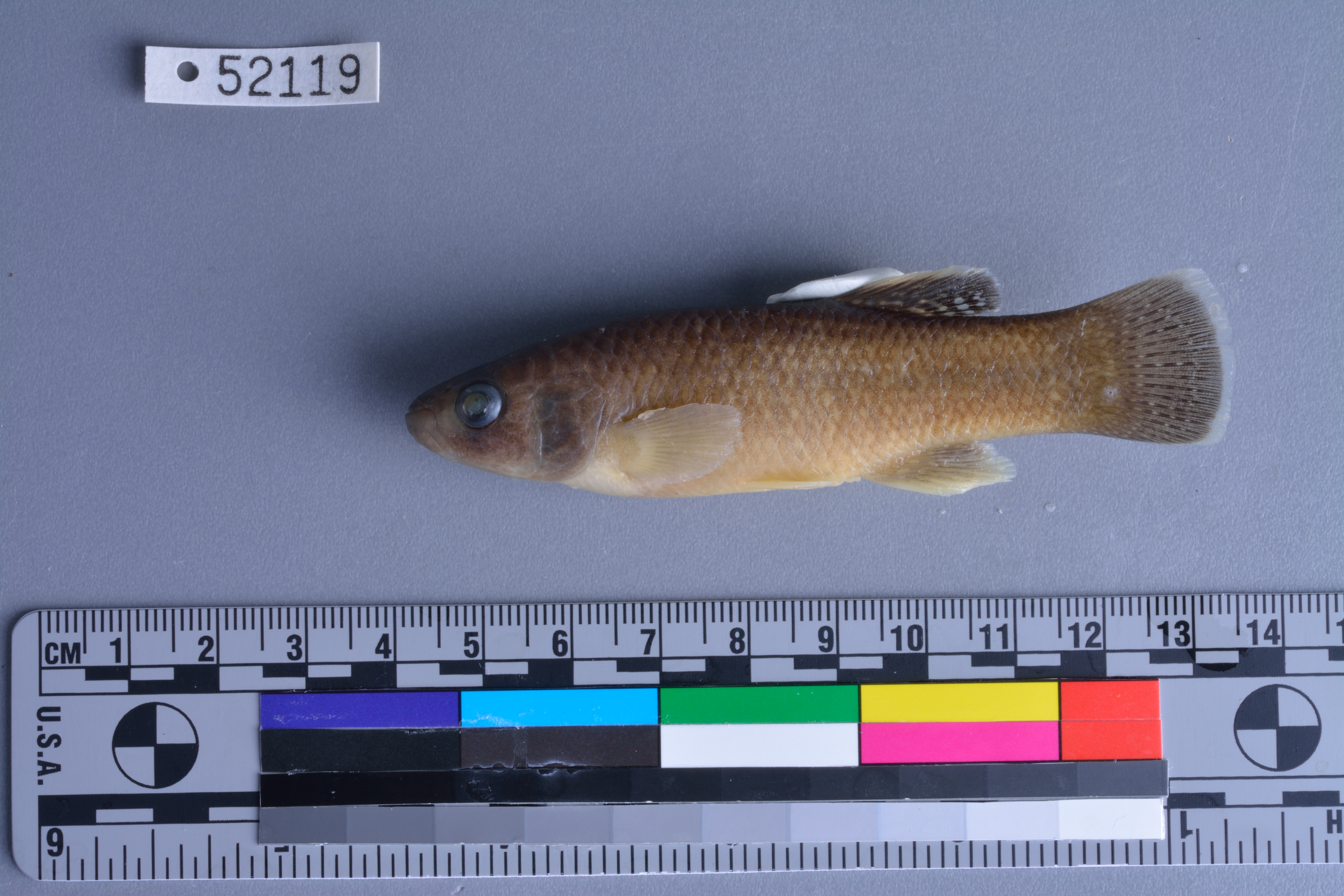
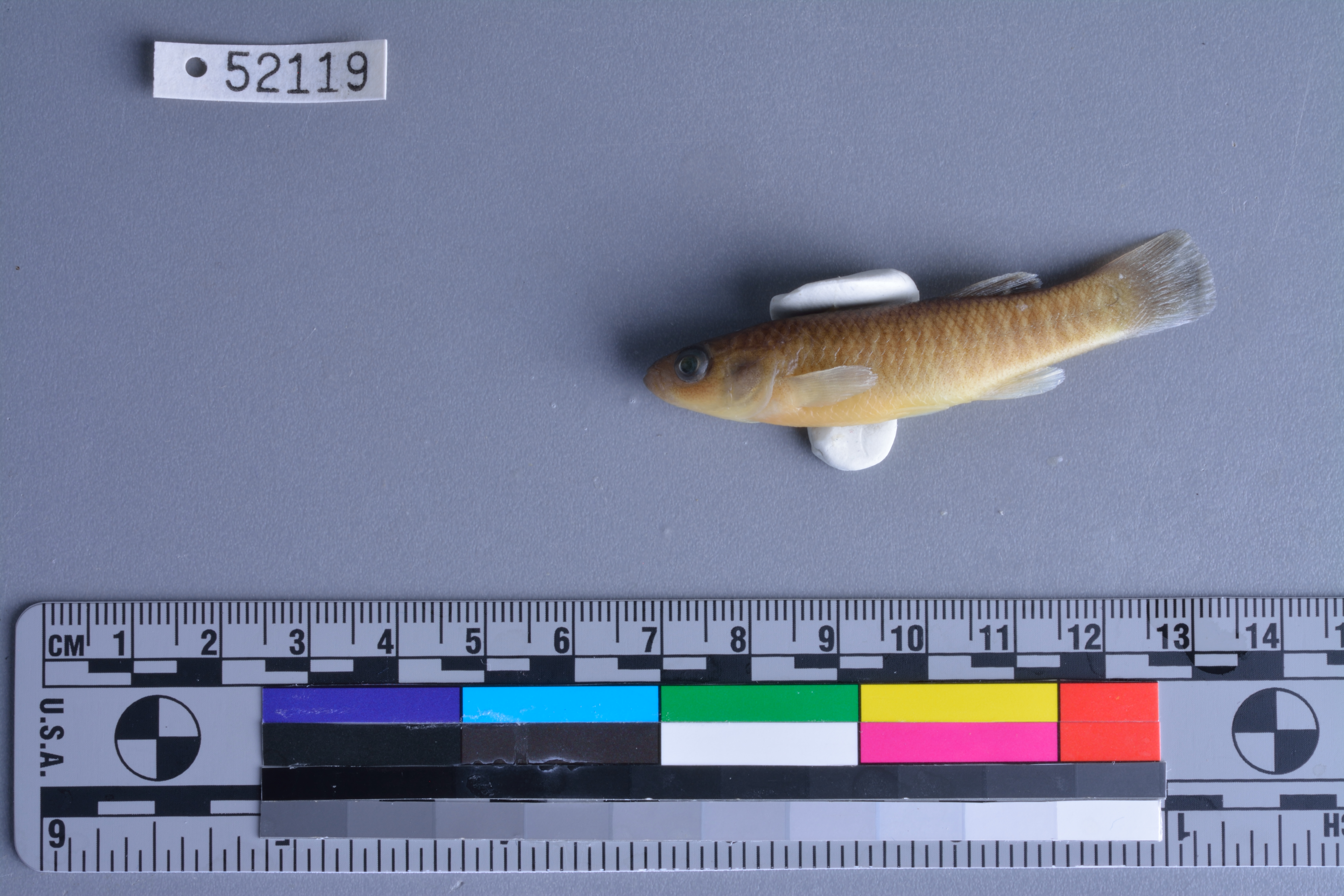
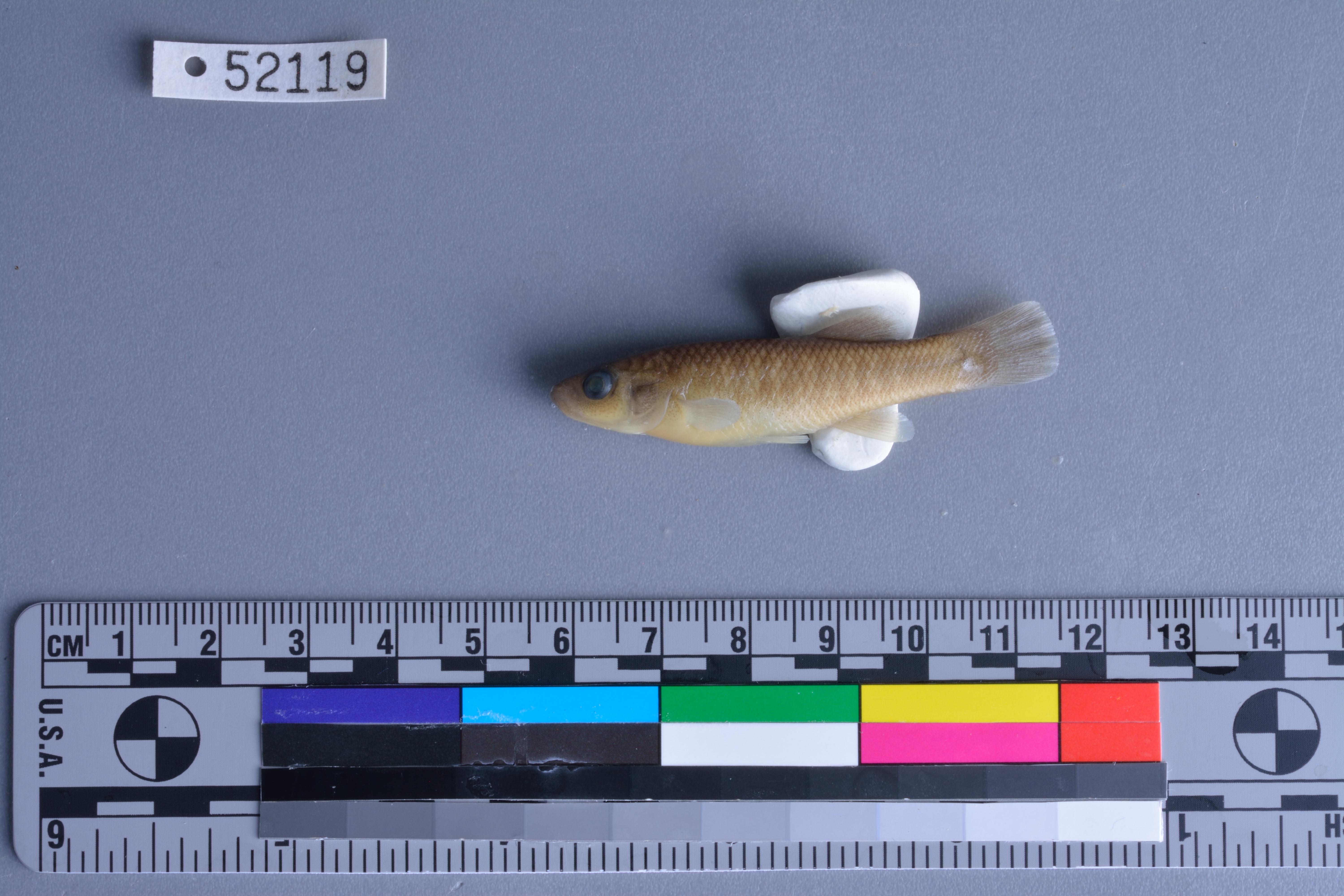
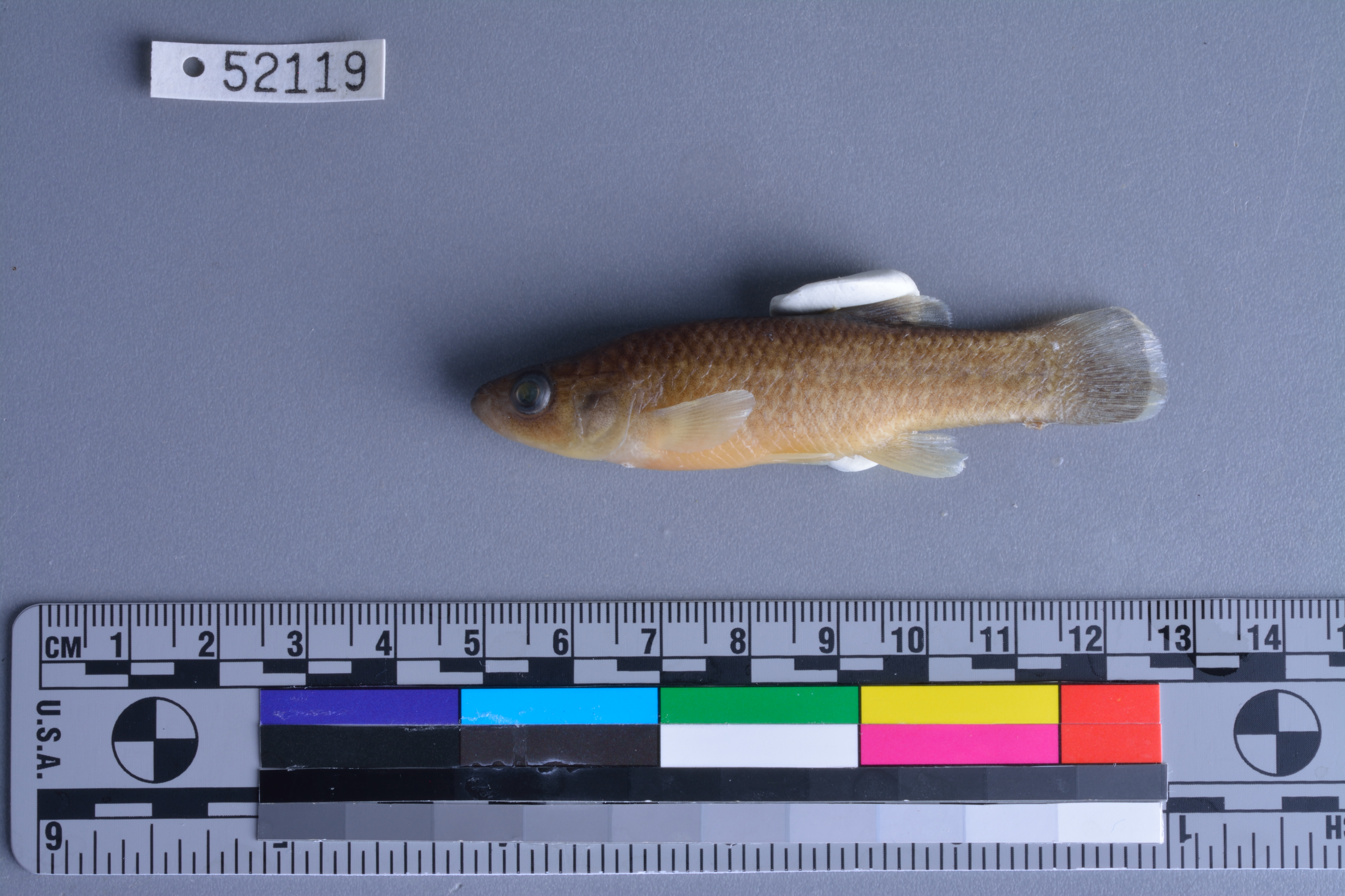
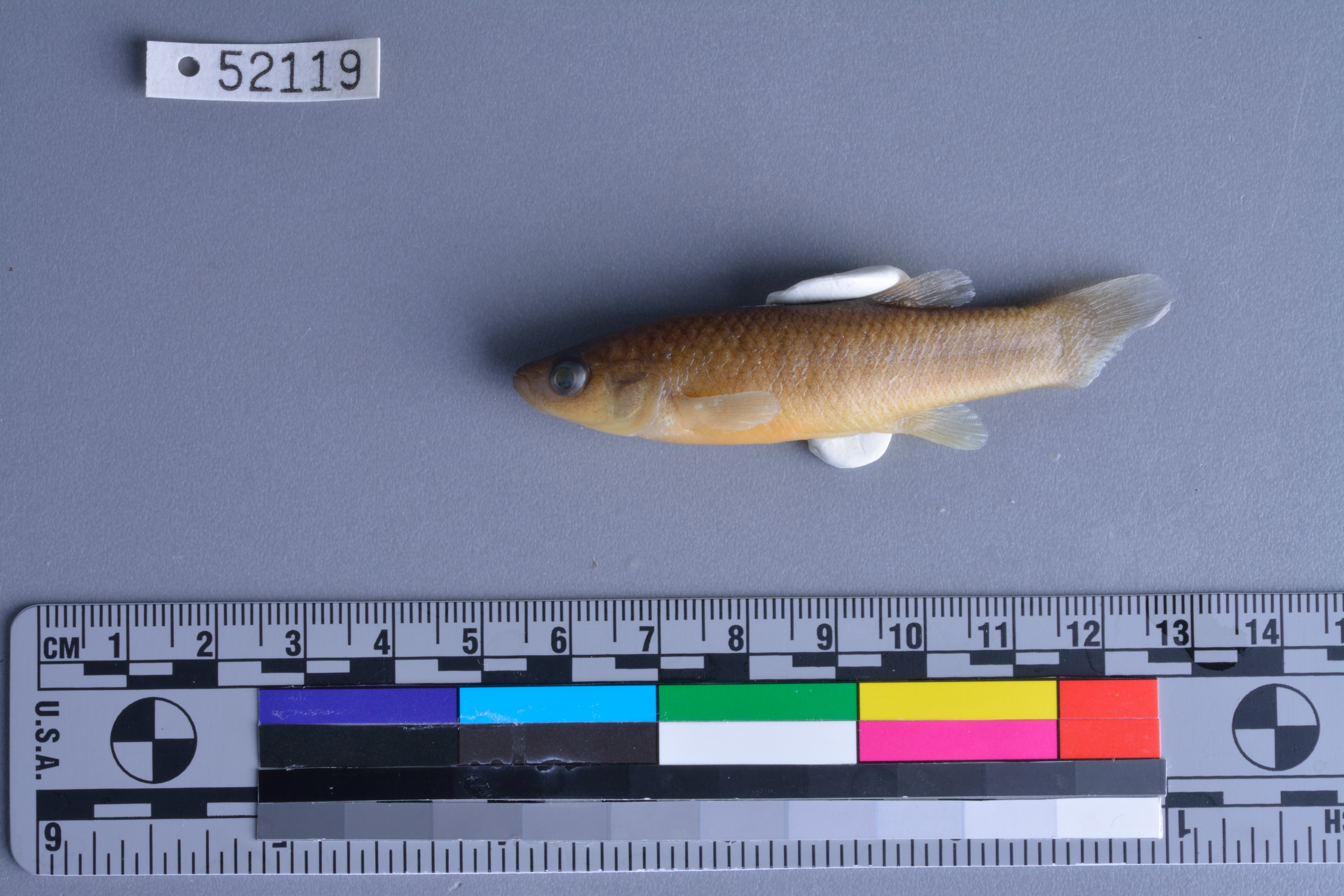
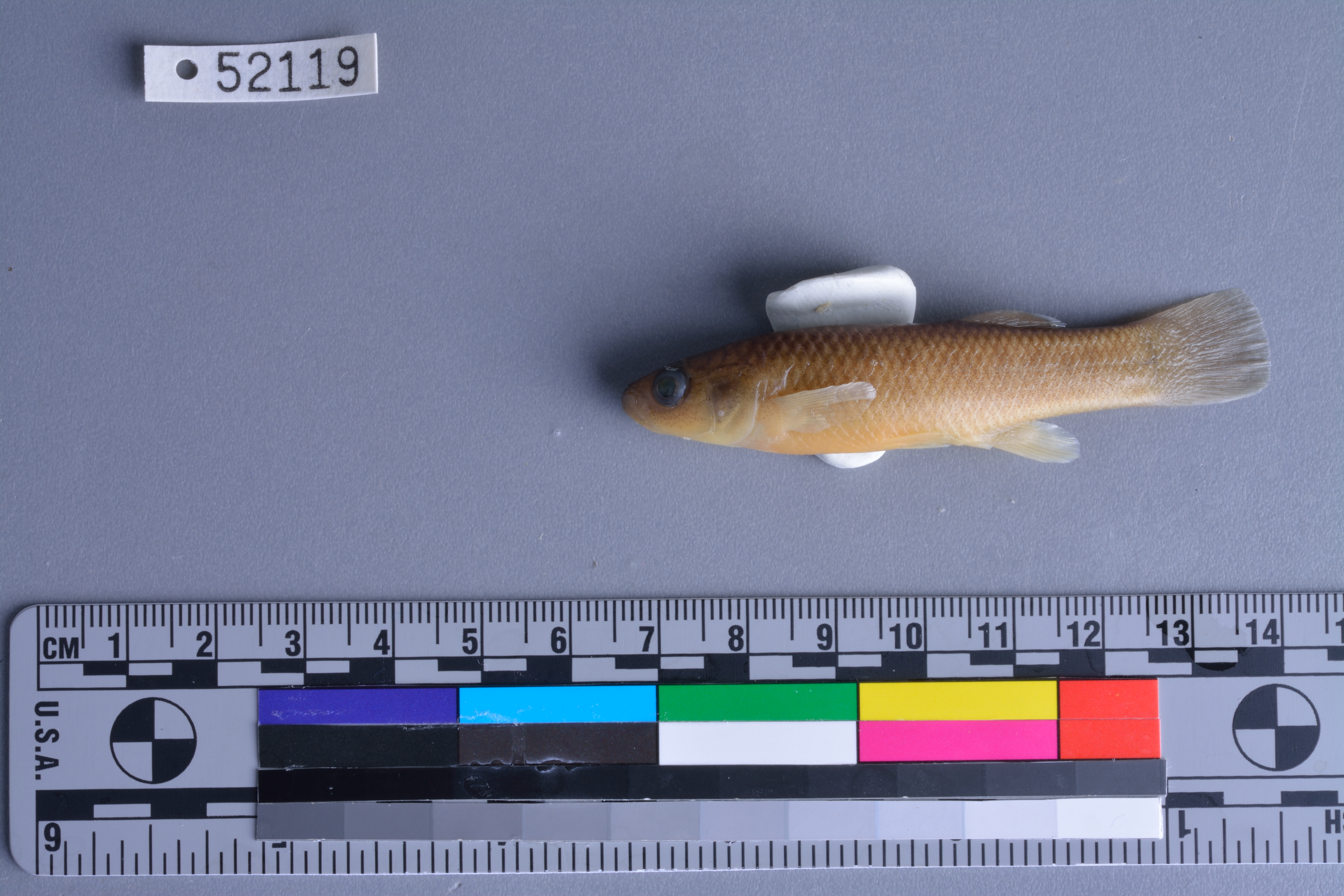
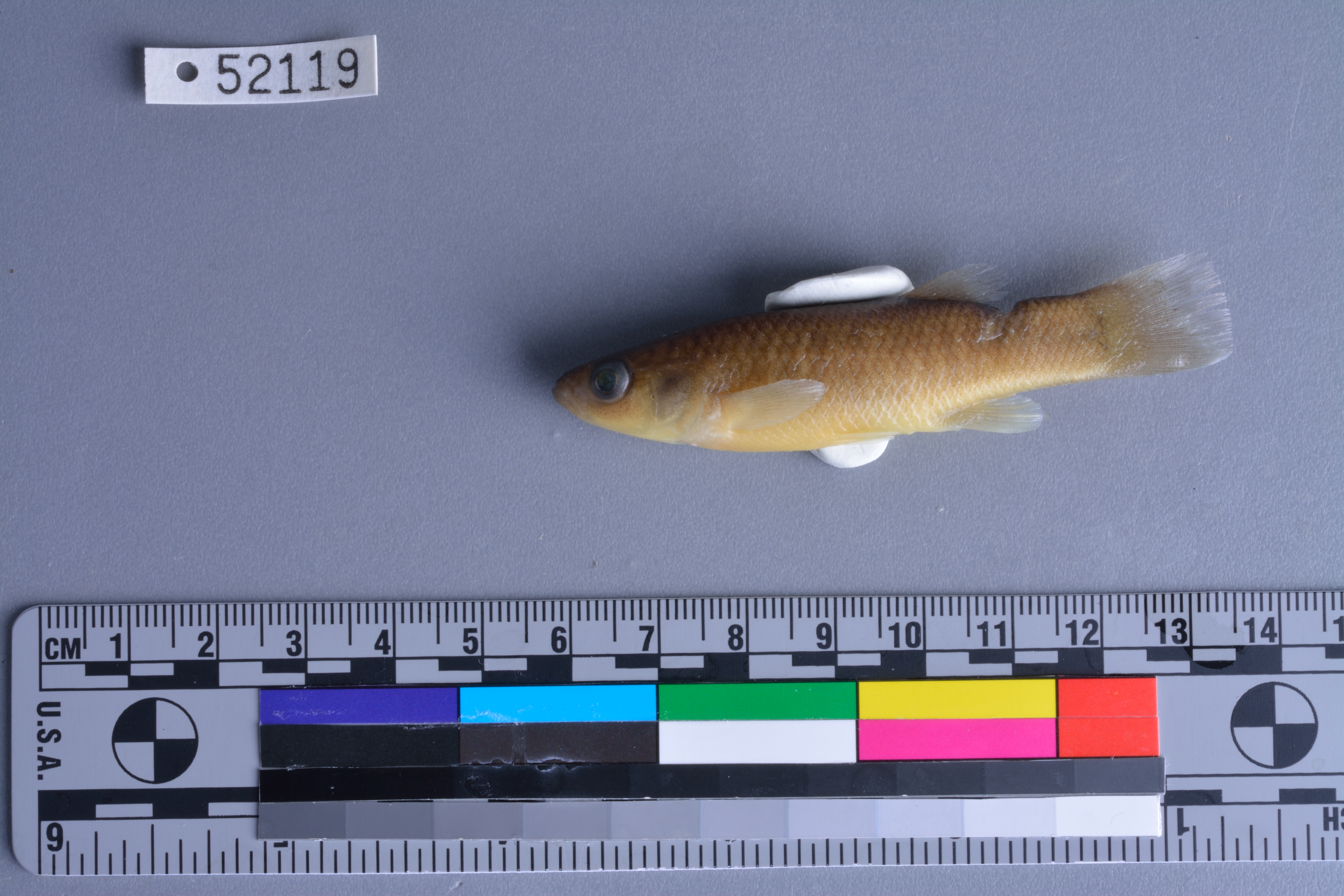
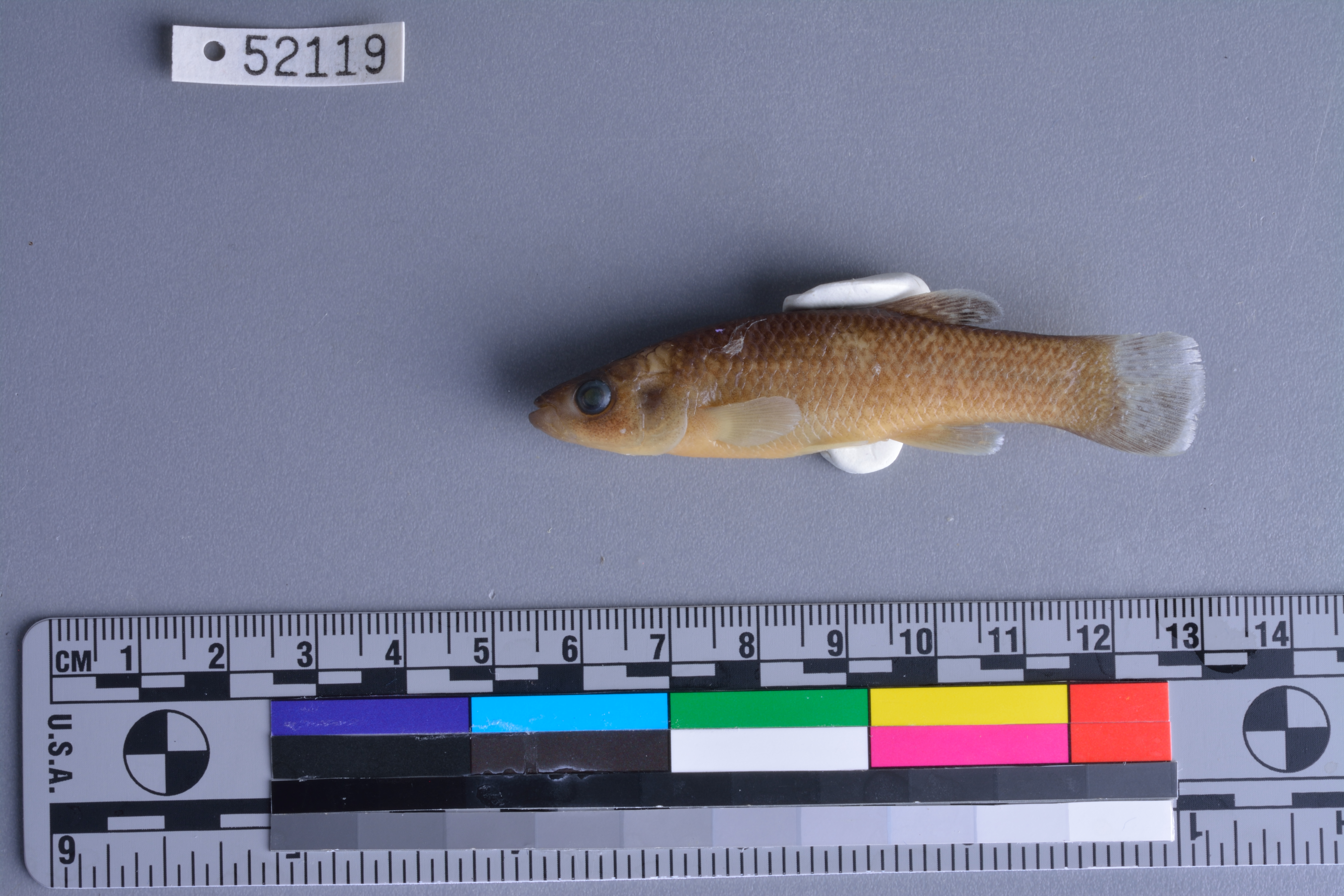
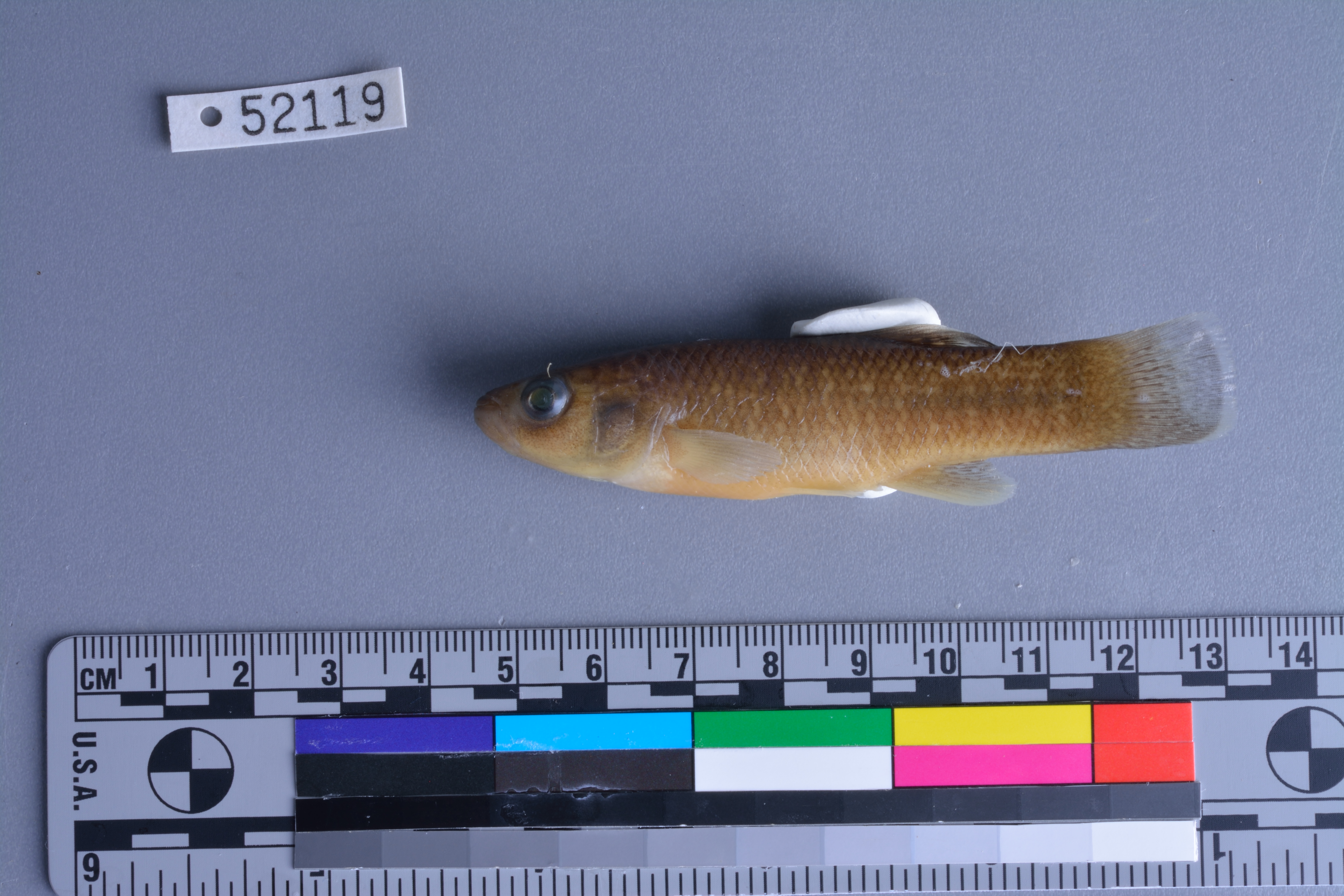
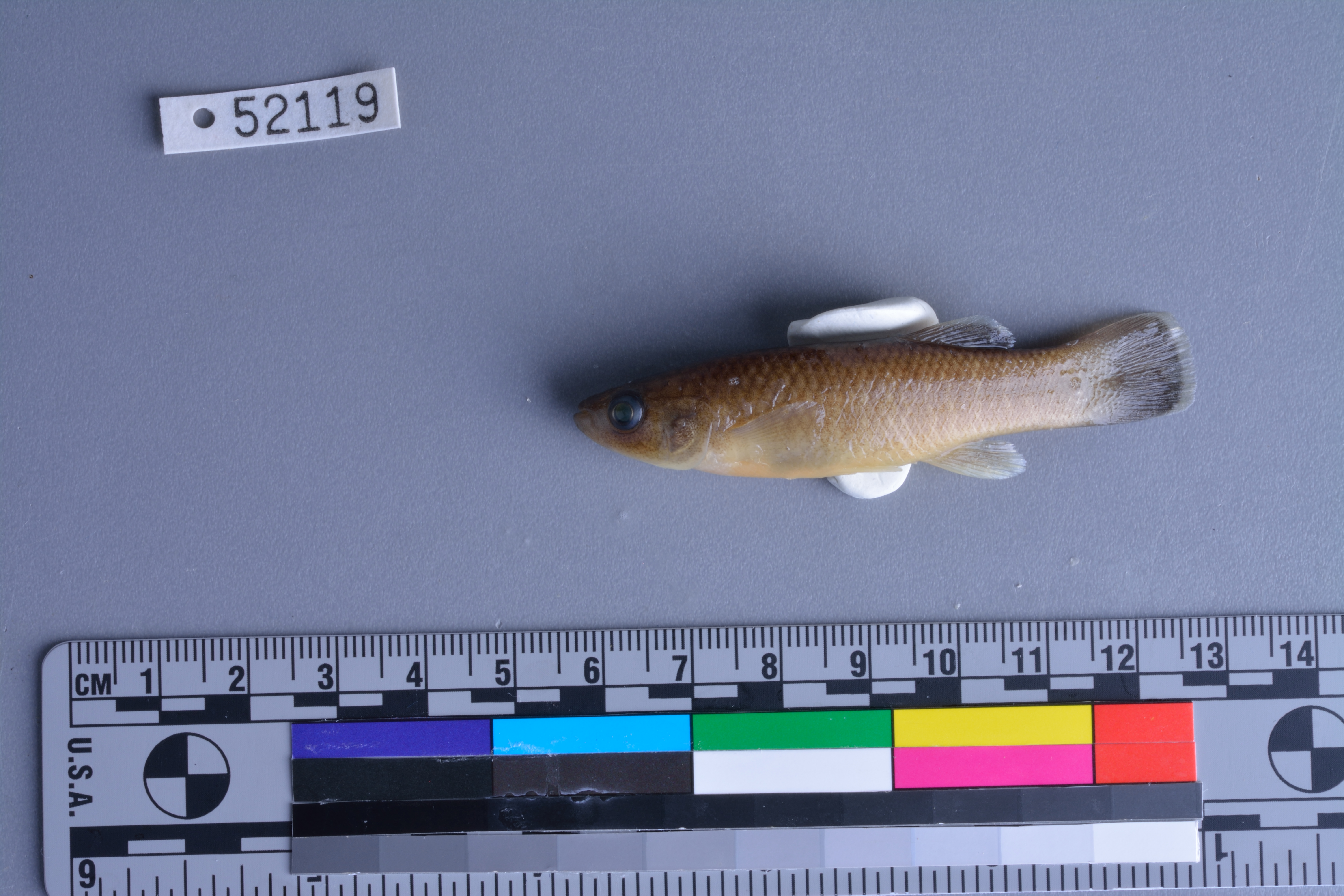
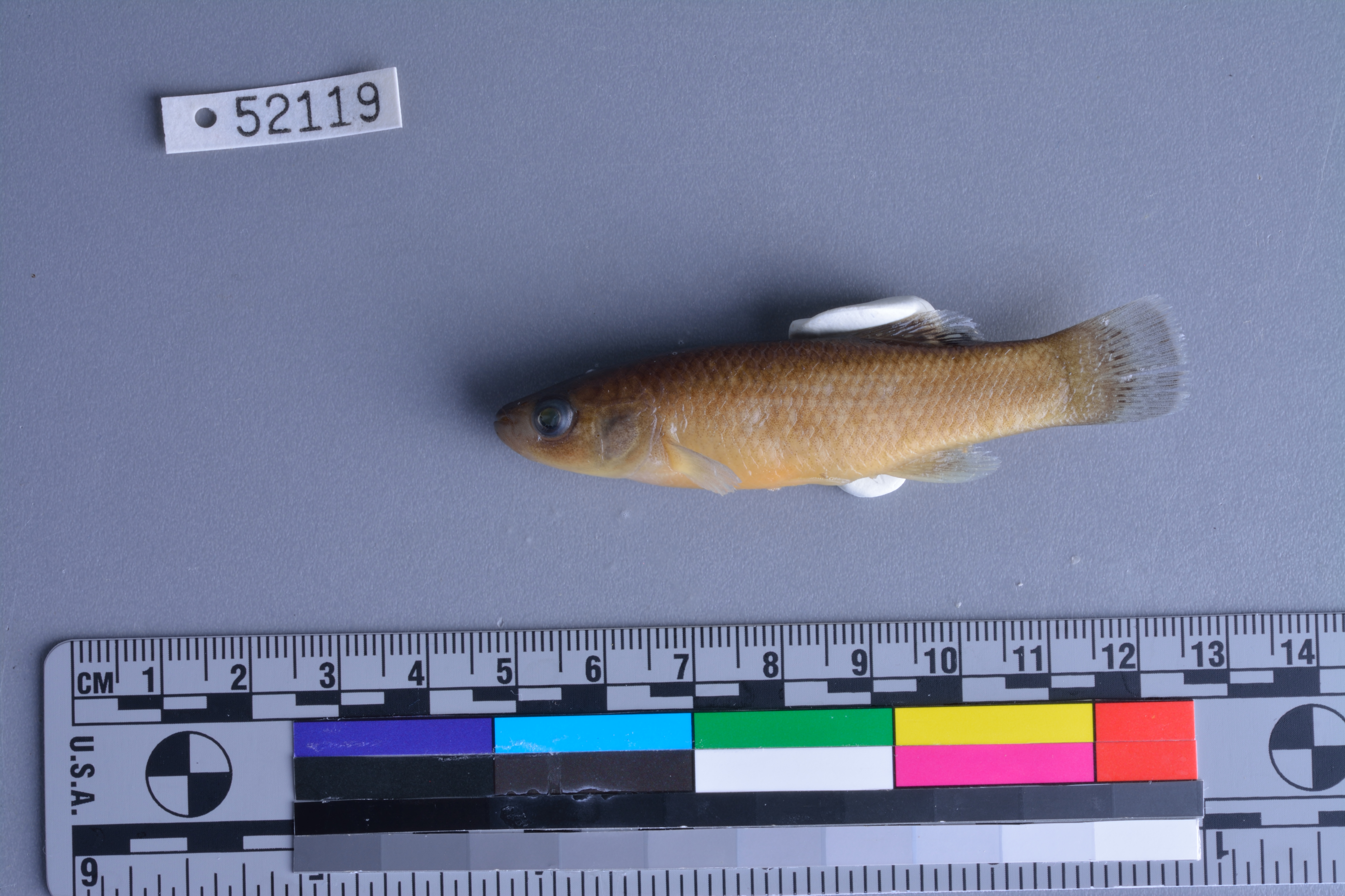
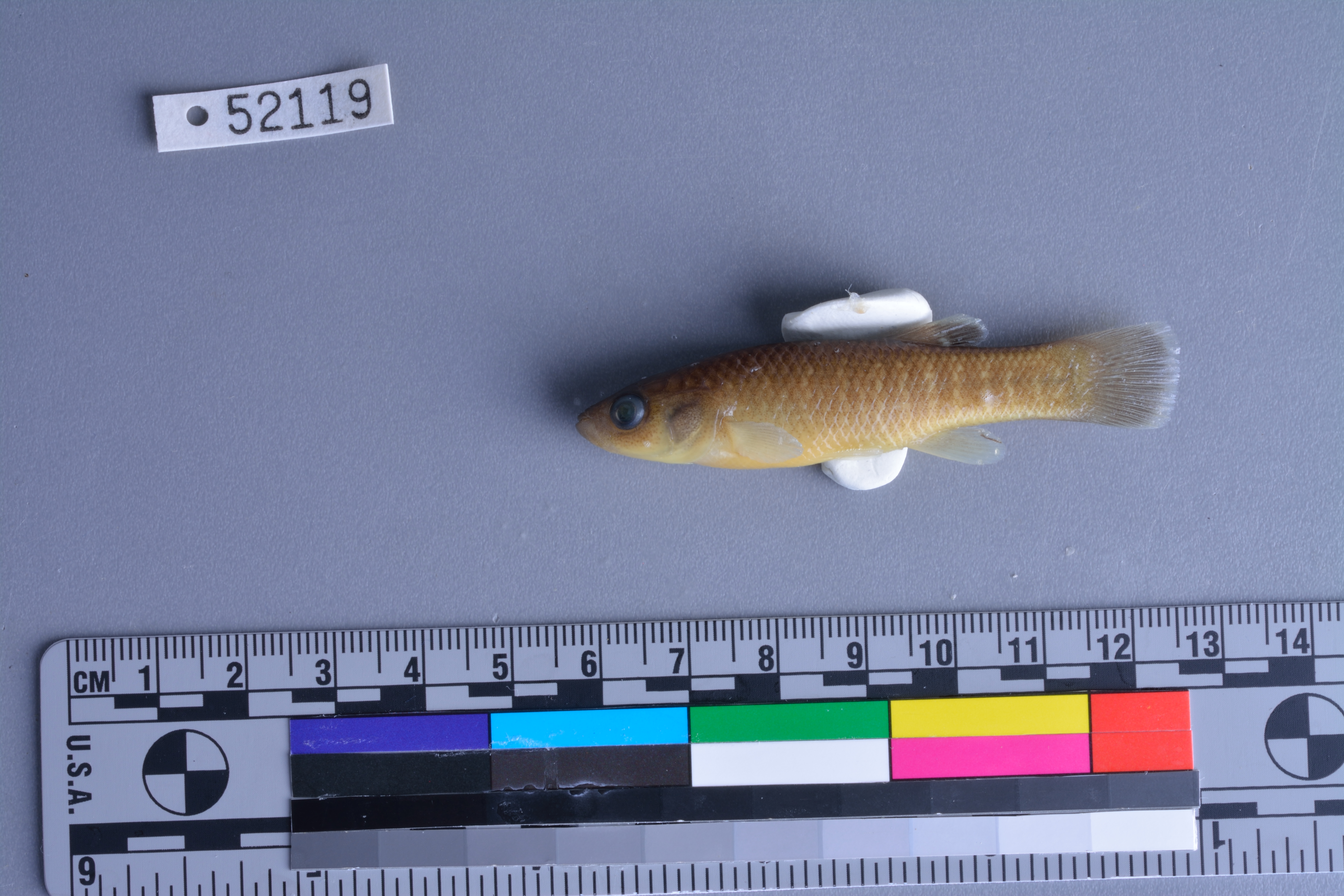
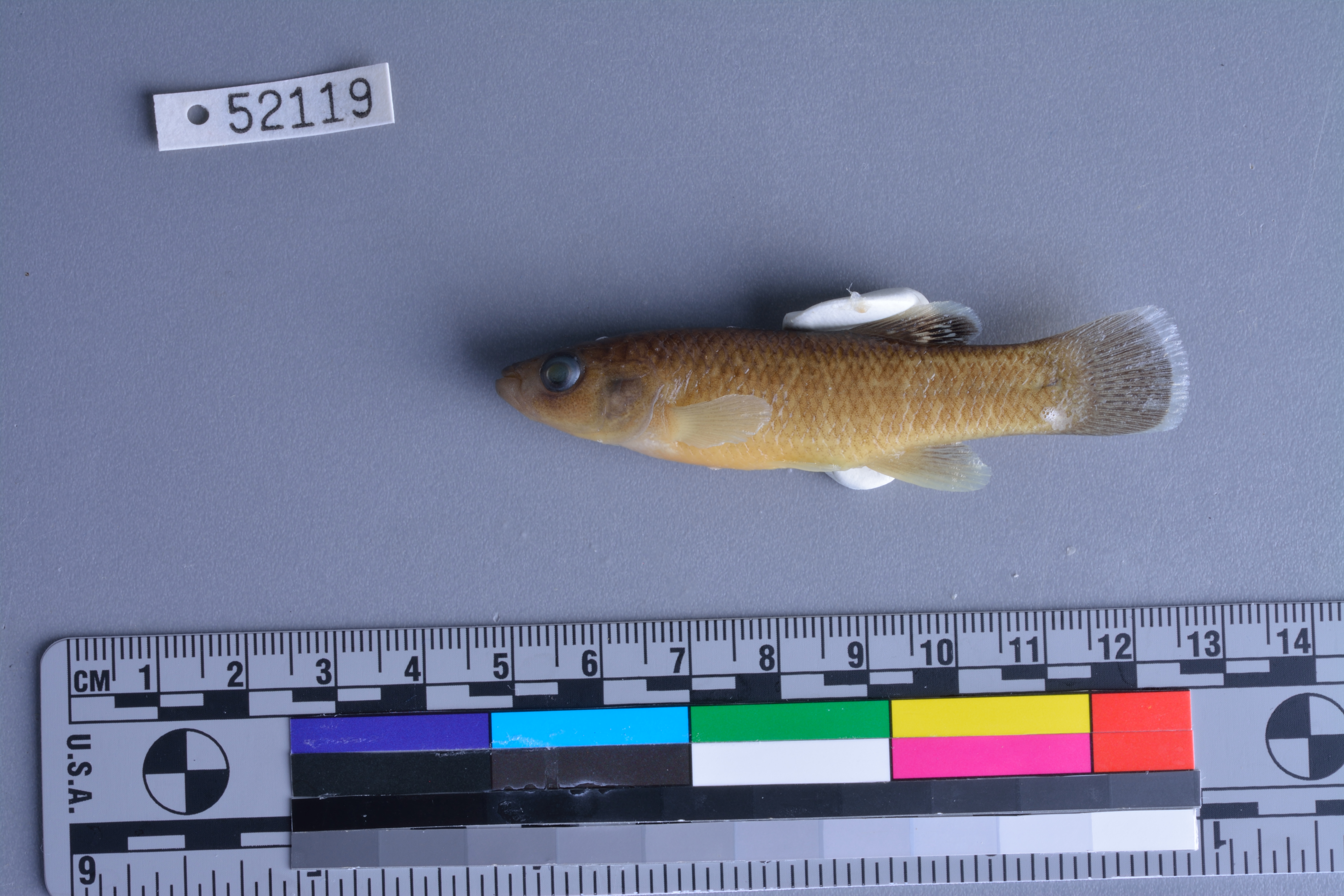
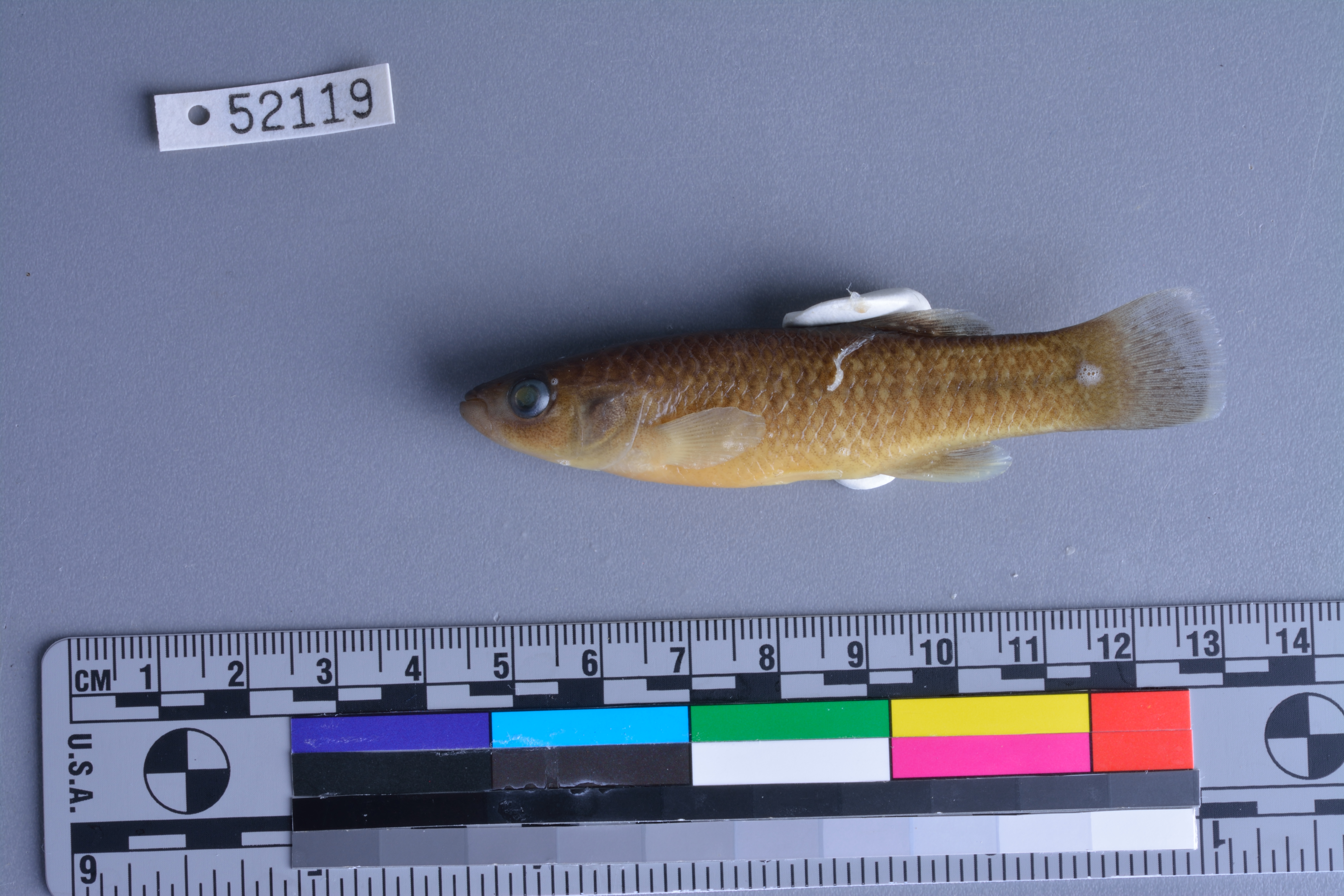
TNHCi_52119
Not suspect, not examinedPhotos
Map
Location
32.33677° N, 97.70193° W
(± 45
m)
Taxonomy
FamilyFundulidae
GenusFundulus
Speciesgrandis
Specimen
Num Specimens38
PreparationFluid - 38; Tissue - 1
Identification
Identified ByLabay, Ben
Date Identified2012.11.9
Collection Event
CollectorCohen, Adam; Labay, Ben; Mayes, Kevin; Casarez, Melissa; Gillespie, Hayley; Lowe, Ed
Collected Date2012.9.20
Field NumberAEC20120920-1
Event Remarksproperty owner: Ed Lowe; field notes and photos available
Geography
CountryUnited States
StateTexas
CountyHood
LocalityBrazos River, between Mitchell Bend and Abby Bend
Latitude32.33677
Longitude-97.70193
DatumWGS84
Record Source
Source
Texas Natural History Collections
(type: specimens)
Institution
Texas Natural History Collections
(type: museum)
Curator
Dean Hendrickson
Record Added
June 24, 2020
Record Last Modified
March 23, 2026
Data Processing Track
Track 3
From Data Set Received
5/2017 to 11/2017
Identification
Suspect Notes
None
Count
38
Current Determination
Determiner
Unknown
Determination Date
Unknown
Determination Type
Unspecified
Identification Comments
None
Identification Confidence
Unknown
Collecting Event
Collected
Sept. 20, 2012
Collecting Event ID
404182
Field Notes
There are no field notes available.
Locality
Jurisdiction
Hood, Texas
Name
Brazos River, between Mitchell Bend and Abby Bend
Hydrography
USGS HUC
Texas-Gulf Region
Middle Brazos
Middle Brazos-Bosque
Middle Brazos-Palo Pinto
Fall Creek-Brazos River
Georges Creek-Brazos River
HydroBASINS
7516
751650
75165070
7516507031
751650703100
Captive
no
Locality Photos
No locality photos available.
HUC 12
120602011303
Georeferencing Remarks
Georeference needs verification/refinement; coordinates provided by donor
Georeferencing Annotation
—
Has not been Georeferenced because
This record, being part of the track 3 import, is not formally georeferenced by FoTX staff at this time. However, to allow mapping and visualization of this record, locality information has been provisionally accepted if provided by the donor or if location text could be matched to previously georeferenced records by FoTX team or donor data. For many records spatial error is either accepted from the donor (when provided) or derived based on coordinate precision.
Comments On TNHCi_52119