TNHCi_53535
Not suspect, not examinedPhotos
Map
Location
29.25956° N, 99.06241° W
(± 43.7
m)
Taxonomy
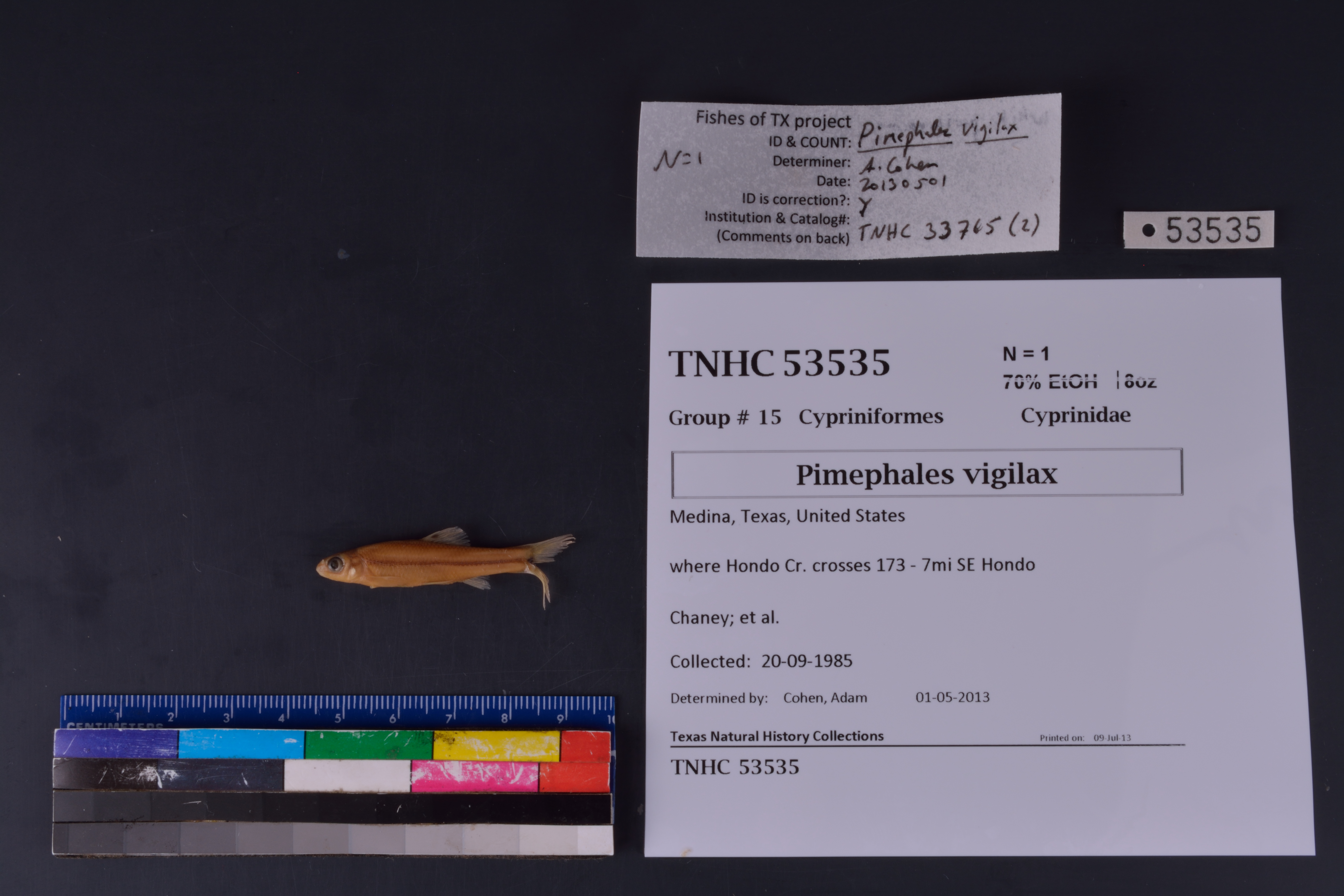
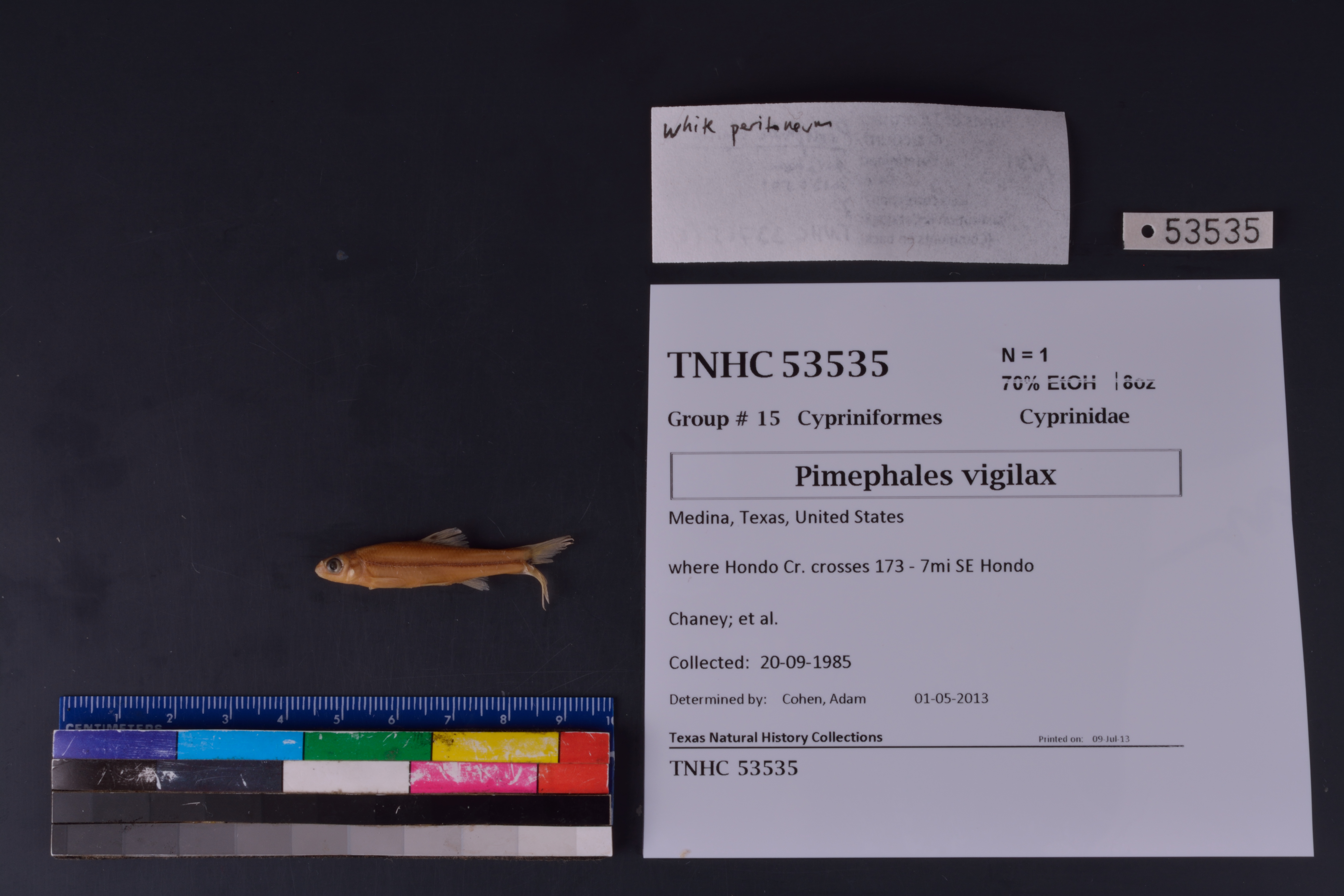
FamilyCyprinidae
GenusPimephales
Speciesvigilax
Specimen
Num Specimens1
PreparationFluid - 1
Identification
Identification RemarksAEC notes: white peritoneum
Identified ByCohen, Adam
Date Identified2013.5.1
Collection Event
CollectorChaney; et al.
Collected Date1985.9.20
Field Numberz33034
Geography
CountryUnited States
StateTexas
CountyMedina
LocalityHondo Creek at SH 173
Latitude29.2595602
Longitude-99.0624125
DatumWGS84
Error43.666
Record
Occurrence RemarksSpecimens removed from TNHC 33765 due to redetermination
Record Source
Source
Texas Natural History Collections
(type: specimens)
Institution
Texas Natural History Collections
(type: museum)
Curator
Dean Hendrickson
Record Added
June 24, 2020
Record Last Modified
March 23, 2026
Data Processing Track
Track 3
From Data Set Received
5/2017 to 11/2017
Identification
Suspect Notes
None
Count
1
Current Determination
Determiner
Unknown
Determination Date
Unknown
Determination Type
Unspecified
Identification Comments
None
Identification Confidence
Unknown
Collecting Event
Collected
Sept. 20, 1985
Collector(s)
Collecting Event ID
316616
Field Notes
There are no field notes available.
Locality
Jurisdiction
Medina, Texas
Name
Hondo Creek at SH 173
Hydrography
Texas-Gulf Region
Nueces-Southwestern Texas Coastal
Nueces
Hondo
Middle Hondo Creek
Hog Wallow Slough-Hondo Creek
Captive
no
Locality Photos
No locality photos available.
HUC 12
121101070202
Georeferencing Remarks
Georeference needs verification/refinement; coordinates provided by donor
Georeferencing Annotation
—
Has not been Georeferenced because
This record, being part of the track 3 import, is not formally georeferenced by FoTX staff at this time. However, to allow mapping and visualization of this record, locality information has been provisionally accepted if provided by the donor or if location text could be matched to previously georeferenced records by FoTX team or donor data. For many records spatial error is either accepted from the donor (when provided) or derived based on coordinate precision.
Comments On TNHCi_53535