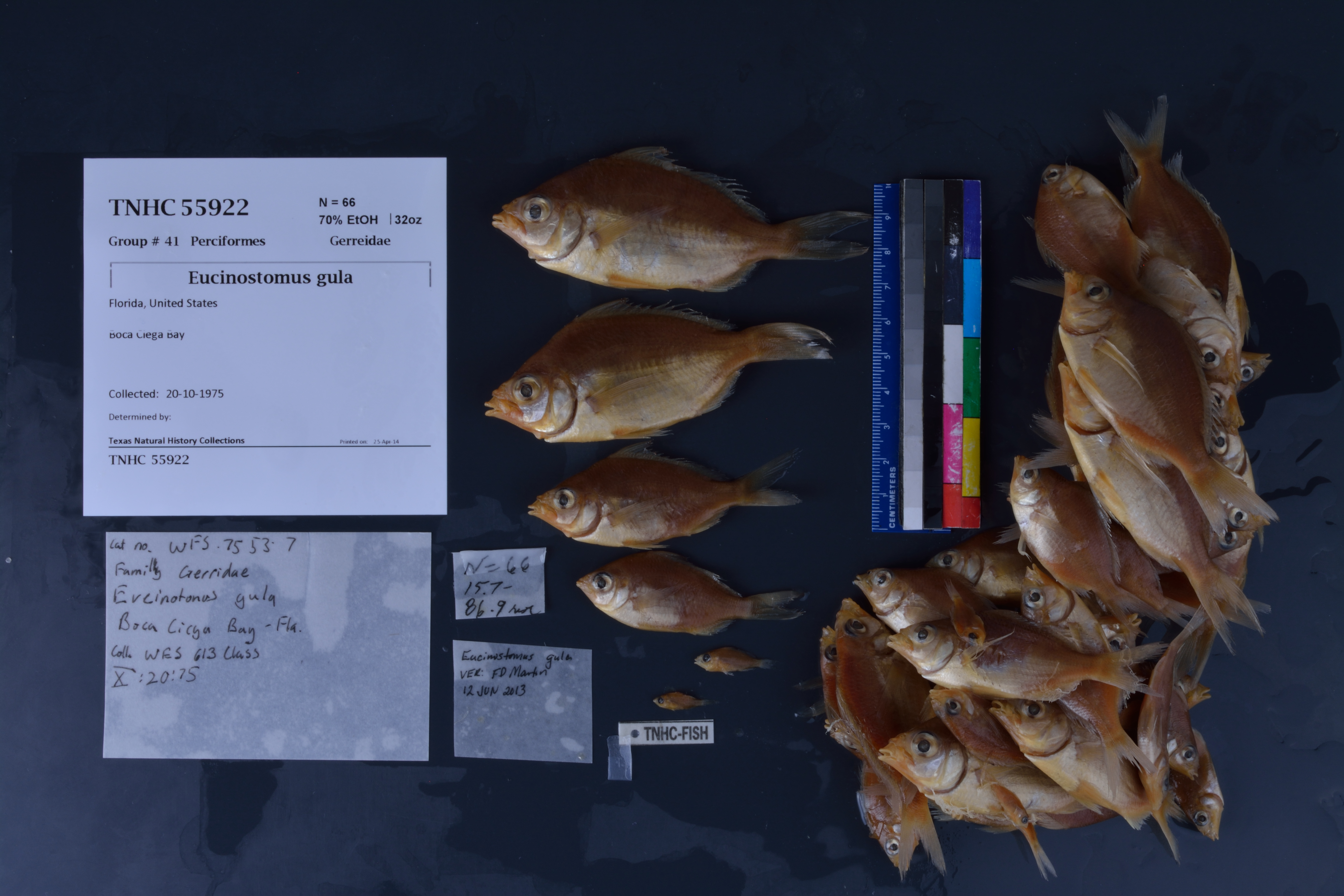
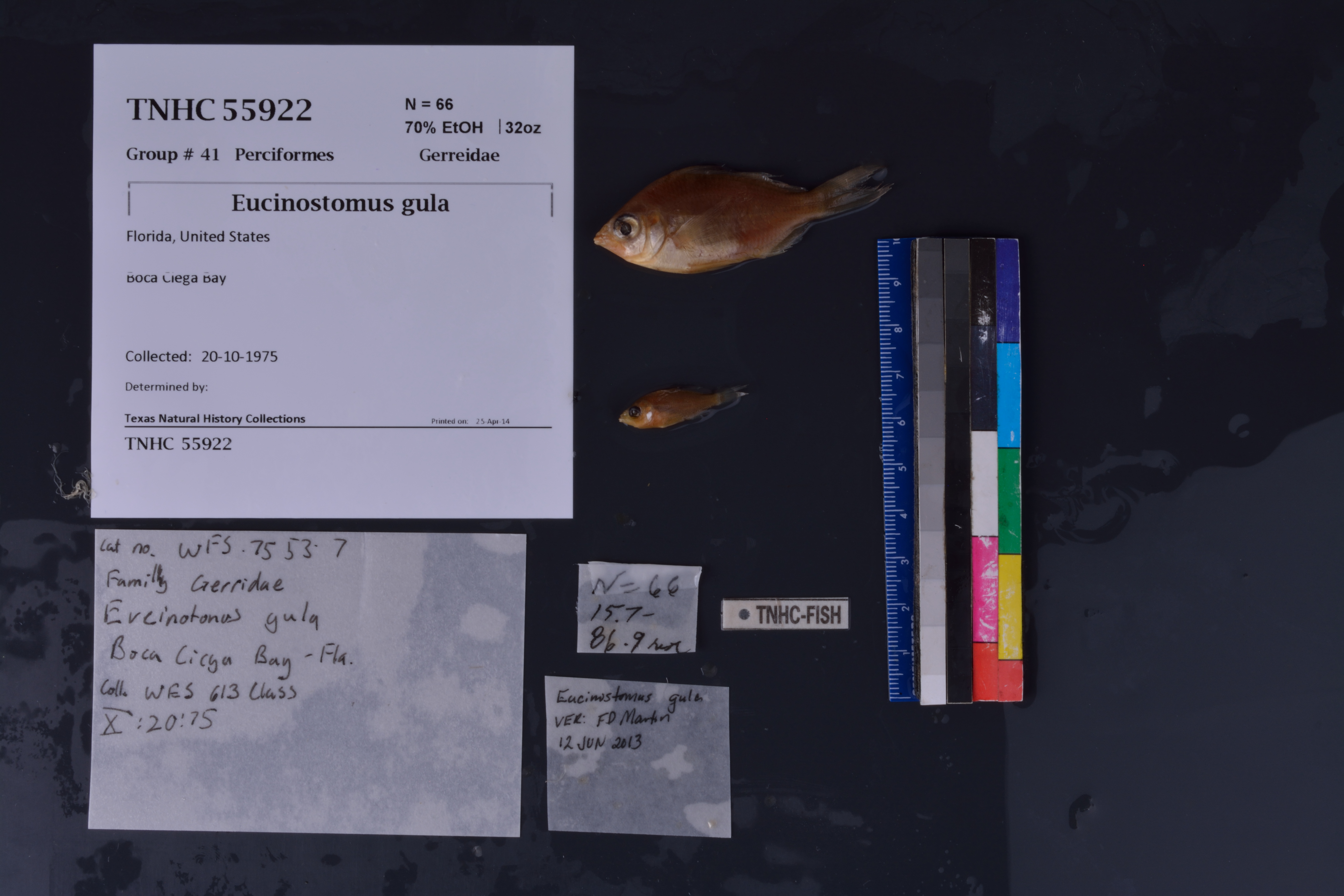
TNHCi_55922
Not suspect, not examinedPhotos
Map
Location
27.78180° N, 82.75722° W
(± 8700
m)
Taxonomy
FamilyGerreidae
GenusEucinostomus
Speciesgula
Specimen
Num Specimens66
PreparationFluid - 66
Identification
Identification RemarksVerified by FD Martin; 12 Jun 2013
Date Identified..
Collection Event
Collectorclass, WFS-613
Collected Date1975.10.20
Field NumberZ55922
Event RemarksCollected by WES 613 class; Part of the old TX A&M collection; known information is very limited and based on labels found in the jars
Geography
CountryUnited States
StateFlorida
LocalityBoca Ciega Bay
Latitude27.781797
Longitude-82.757217
DatumWGS84
Error8700.0
Georeferencing
Georeference RemarksCoordinates placed in the middle of Boca Ciega Bay, and uncertainty set to include the entirety of the bay.
Record
Occurrence RemarksWF5 75 53 7 ... prev cat #
Record Source
Source
Texas Natural History Collections
(type: specimens)
Institution
Texas Natural History Collections
(type: museum)
Curator
Dean Hendrickson
Record Added
June 24, 2020
Record Last Modified
March 23, 2026
Data Processing Track
Track 3
From Data Set Received
5/2017 to 11/2017
Identification
Suspect Notes
None
Count
66
Current Determination
Determiner
Unknown
Determination Date
Unknown
Determination Type
Unspecified
Identification Comments
None
Identification Confidence
Unknown
Collecting Event
Collected
Oct. 20, 1975
Collector(s)
Collecting Event ID
300270
Field Notes
There are no field notes available.
Locality
Jurisdiction
Gulf of Mexico, North America
Name
Boca Ciega Bay
Hydrography
South Atlantic-Gulf Region
Peace-Tampa Bay
Tampa Bay
Crystal-Pithlachascotee
Anclote River
Boca Ciega Bay
Captive
no
Locality Photos
No locality photos available.
HUC 12
031002070506
Georeferencing Remarks
Georeference needs verification/refinement; coordinates provided by donor
Georeferencing Annotation
—
Has not been Georeferenced because
This record, being part of the track 3 import, is not formally georeferenced by FoTX staff at this time. However, to allow mapping and visualization of this record, locality information has been provisionally accepted if provided by the donor or if location text could be matched to previously georeferenced records by FoTX team or donor data. For many records spatial error is either accepted from the donor (when provided) or derived based on coordinate precision.
Comments On TNHCi_55922