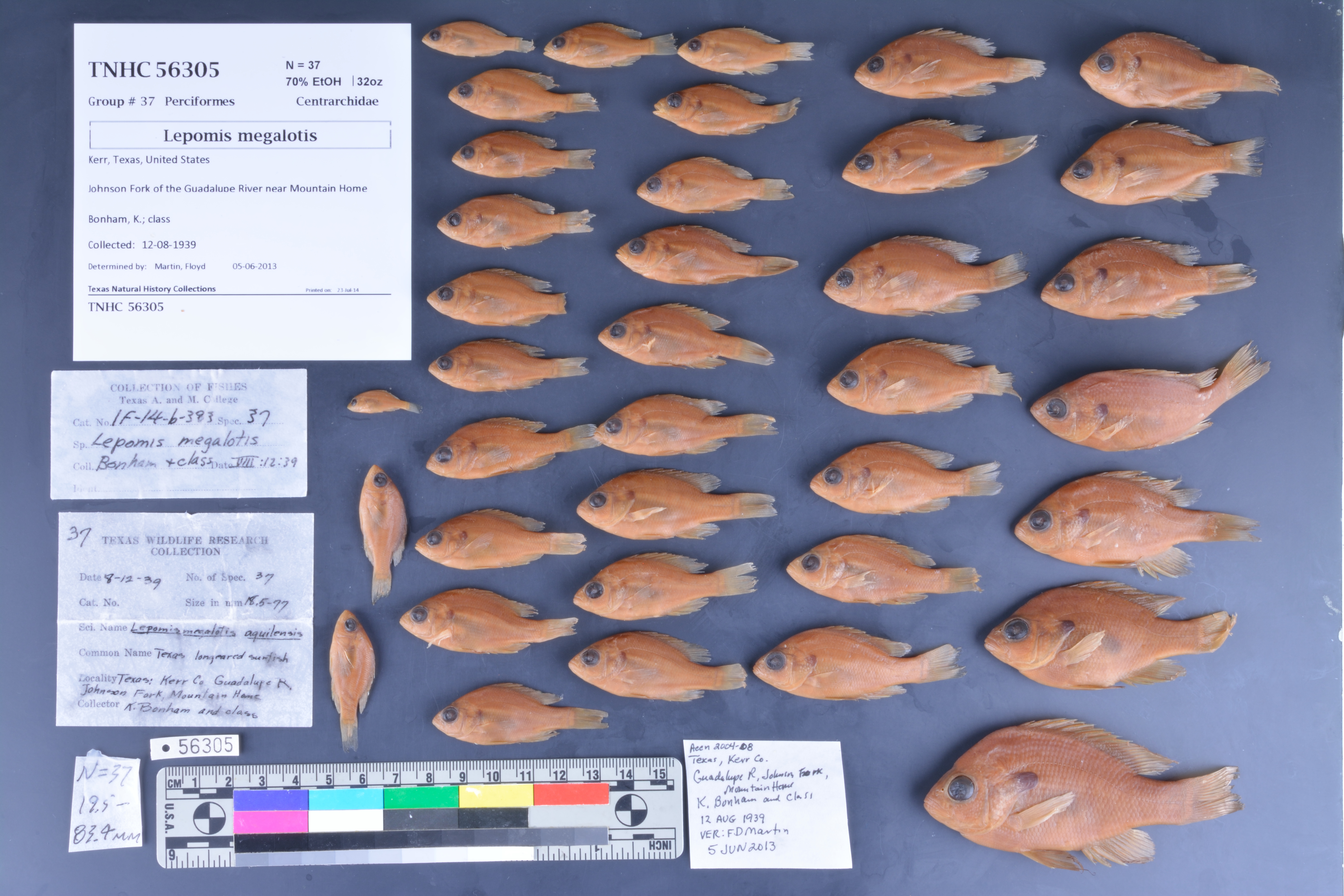
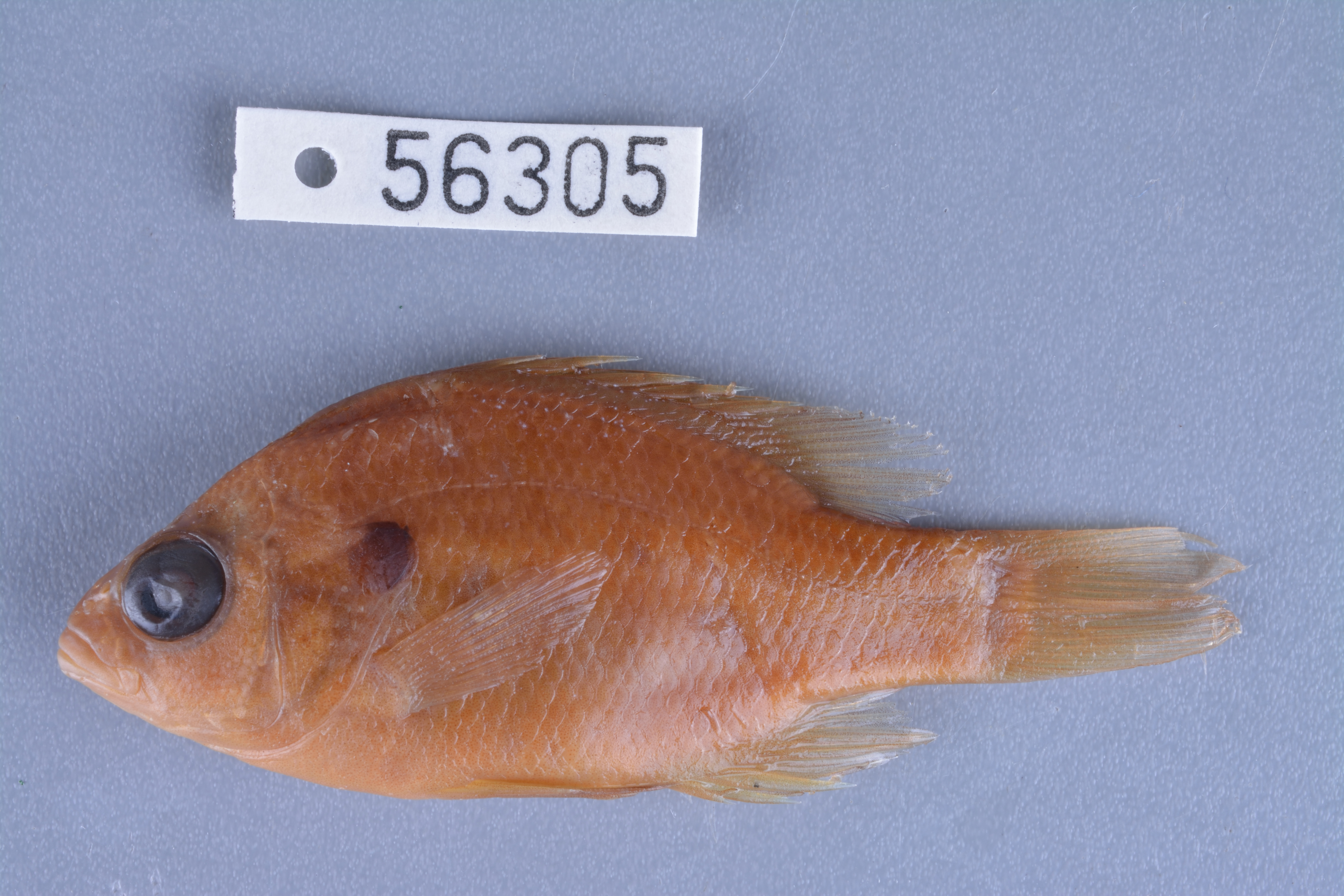
TNHCi_56305
Not suspect, not examinedPhotos
Map
Location
30.15950° N, 99.35412° W
(± 2401.5
m)
Taxonomy
FamilyCentrarchidae
GenusLepomis
Speciesmegalotis
Specimen
Num Specimens37
PreparationFluid - 37
Identification
Identified ByMartin, Floyd
Date Identified2013.6.5
Collection Event
CollectorBonham, K.; class
Collected Date1939.8.12
Field Numberz56305
Geography
CountryUnited States
StateTexas
CountyKerr
LocalityJohnson Creek at Mountain Home, vicinity
Latitude30.159497
Longitude-99.354122
DatumWGS84
Error2401.469
Georeferencing
Georeference RemarksTreated as named place - stream. Measured from crossing SH 41 to jct SH 27 and RM 479.
Record Source
Source
Texas Natural History Collections
(type: specimens)
Institution
Texas Natural History Collections
(type: museum)
Curator
Dean Hendrickson
Record Added
June 24, 2020
Record Last Modified
March 23, 2026
Data Processing Track
Track 3
From Data Set Received
5/2017 to 11/2017
Identification
Suspect Notes
None
Count
37
Current Determination
Determiner
Unknown
Determination Date
Unknown
Determination Type
Unspecified
Identification Comments
None
Identification Confidence
Unknown
Collecting Event
Collected
Aug. 12, 1939
Collecting Event ID
274086
Field Notes
There are no field notes available.
Locality
Jurisdiction
Kerr, Texas
Name
Johnson Creek at Mountain Home, vicinity
Hydrography
Texas-Gulf Region
Central Texas Coastal
Guadalupe
Upper Guadalupe
Headwaters Guadalupe River
Middle Johnson Creek
Captive
no
Locality Photos
No locality photos available.
HUC 12
121002010110
Georeferencing Remarks
Georeference needs verification/refinement; coordinates provided by donor
Georeferencing Annotation
—
Has not been Georeferenced because
This record, being part of the track 3 import, is not formally georeferenced by FoTX staff at this time. However, to allow mapping and visualization of this record, locality information has been provisionally accepted if provided by the donor or if location text could be matched to previously georeferenced records by FoTX team or donor data. For many records spatial error is either accepted from the donor (when provided) or derived based on coordinate precision.
Comments On TNHCi_56305