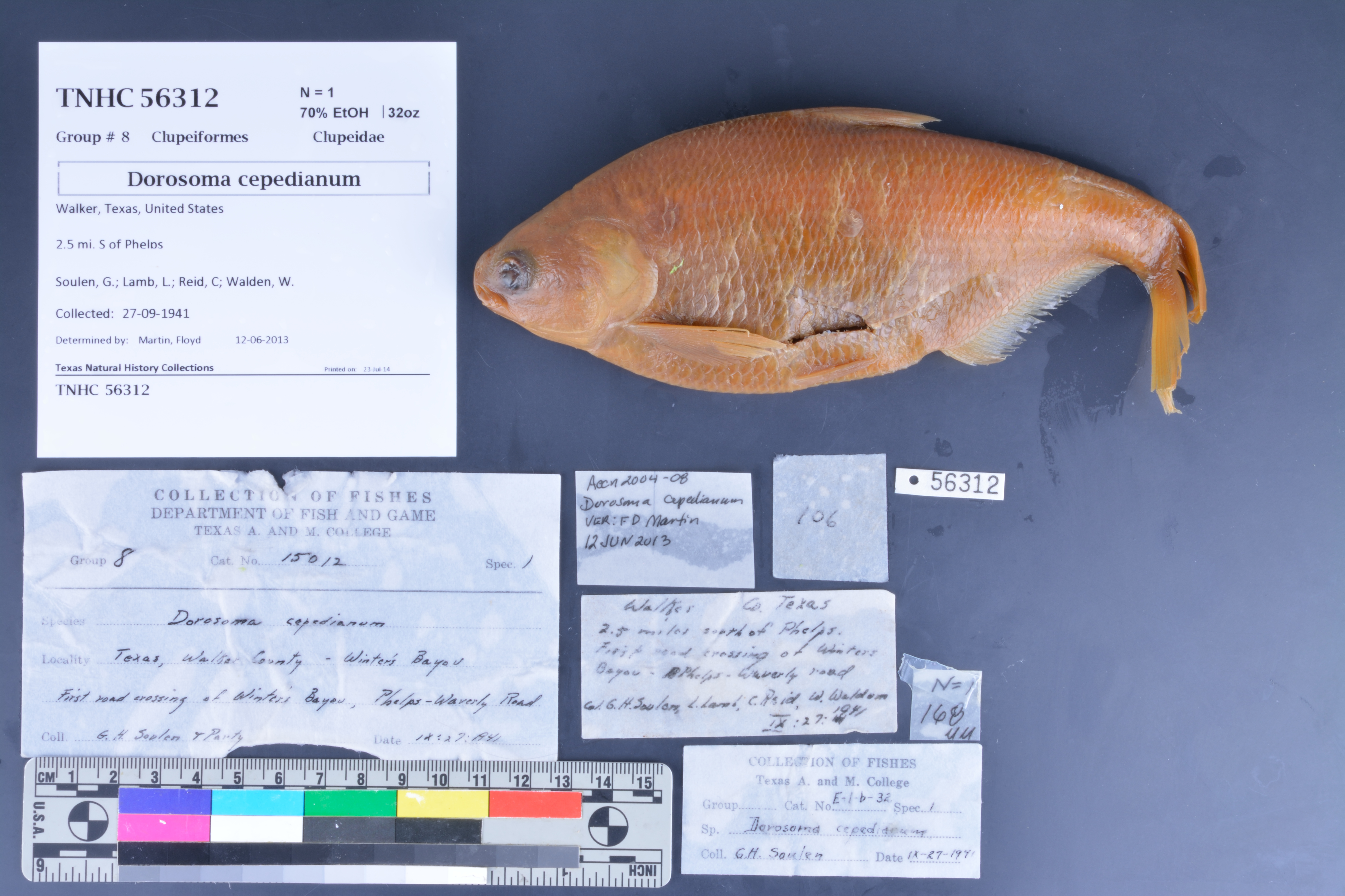
TNHCi_56312
Not suspect, not examinedPhotos
Map
Location
30.69604° N, 95.44494° W
(± 251.5
m)
Taxonomy
FamilyClupeidae
GenusDorosoma
Speciescepedianum
Specimen
Num Specimens1
PreparationFluid - 1
Identification
Identified ByMartin, Floyd
Date Identified2013.6.12
Collection Event
CollectorSoulen, G.; Lamb, L.; Reid, C; Walden, W.
Collected Date1941.9.27
Field Numberz56312
Geography
CountryUnited States
StateTexas
CountyWalker
LocalityPhelps, 2.5 mi S
Latitude30.696043
Longitude-95.444935
DatumWGS84
Error251.465
Georeferencing
Georeference RemarksTreated as measure by air. Could not find Waverly Road.
Record
Occurrence RemarksA&M labels in jar say catalog number was: 15012 and E-1-b-32
Record Source
Source
Texas Natural History Collections
(type: specimens)
Institution
Texas Natural History Collections
(type: museum)
Curator
Dean Hendrickson
Record Added
June 24, 2020
Record Last Modified
March 23, 2026
Data Processing Track
Track 3
From Data Set Received
5/2017 to 11/2017
Identification
Suspect Notes
None
Count
1
Current Determination
Determiner
Unknown
Determination Date
Unknown
Determination Type
Unspecified
Identification Comments
None
Identification Confidence
Unknown
Collecting Event
Collected
Sept. 27, 1941
Collecting Event ID
274689
Field Notes
There are no field notes available.
Locality
Jurisdiction
Walker, Texas
Name
Phelps, 2.5 mi S
Hydrography
Texas-Gulf Region
Galveston Bay-San Jacinto
San Jacinto
East Fork San Jacinto
Winters Bayou-East Fork San Jacinto River
Gourd Creek-Winters Bayou
Captive
no
Locality Photos
No locality photos available.
HUC 12
120401030302
Georeferencing Remarks
Georeference needs verification/refinement; coordinates provided by donor
Georeferencing Annotation
—
Has not been Georeferenced because
This record, being part of the track 3 import, is not formally georeferenced by FoTX staff at this time. However, to allow mapping and visualization of this record, locality information has been provisionally accepted if provided by the donor or if location text could be matched to previously georeferenced records by FoTX team or donor data. For many records spatial error is either accepted from the donor (when provided) or derived based on coordinate precision.
Comments On TNHCi_56312