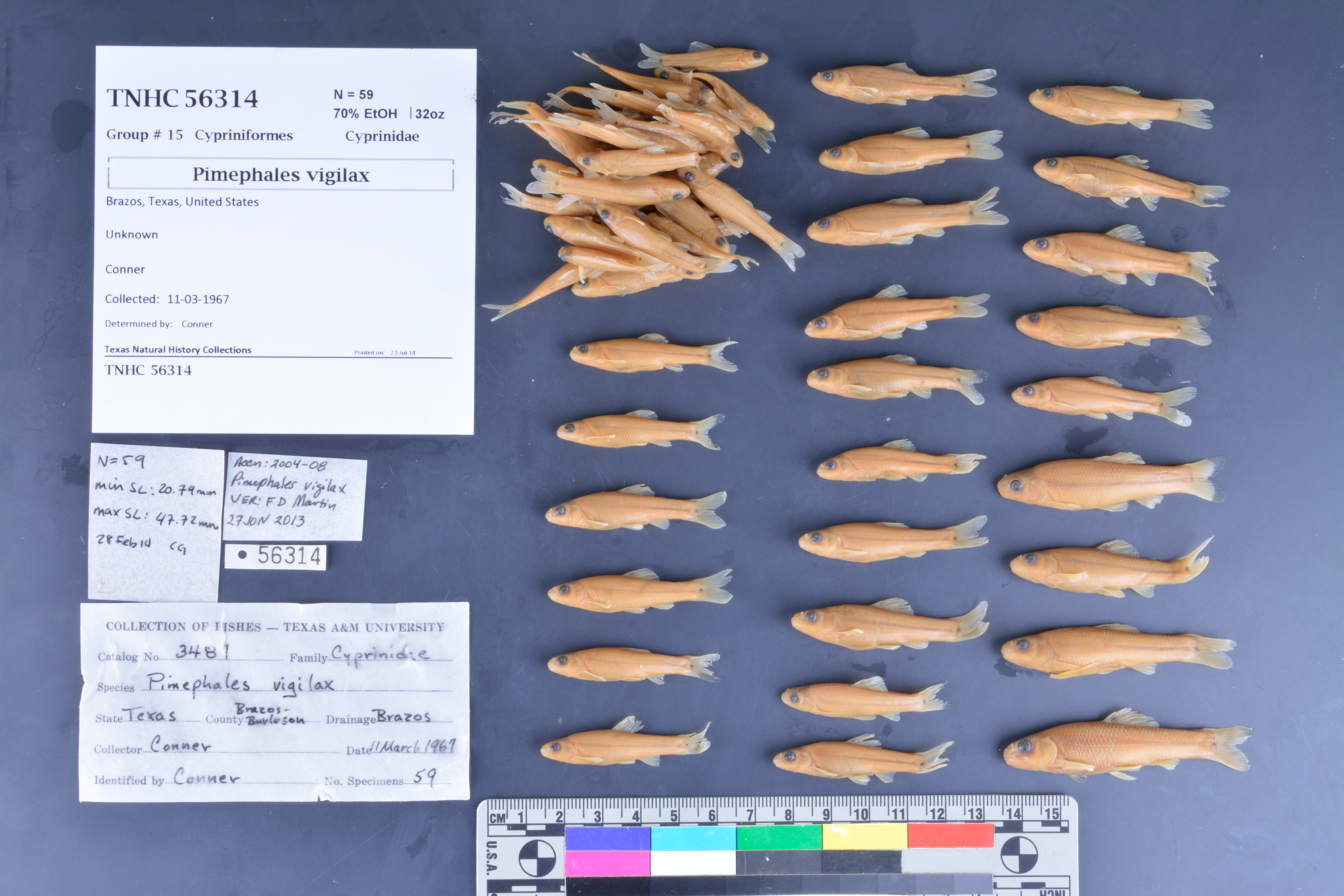
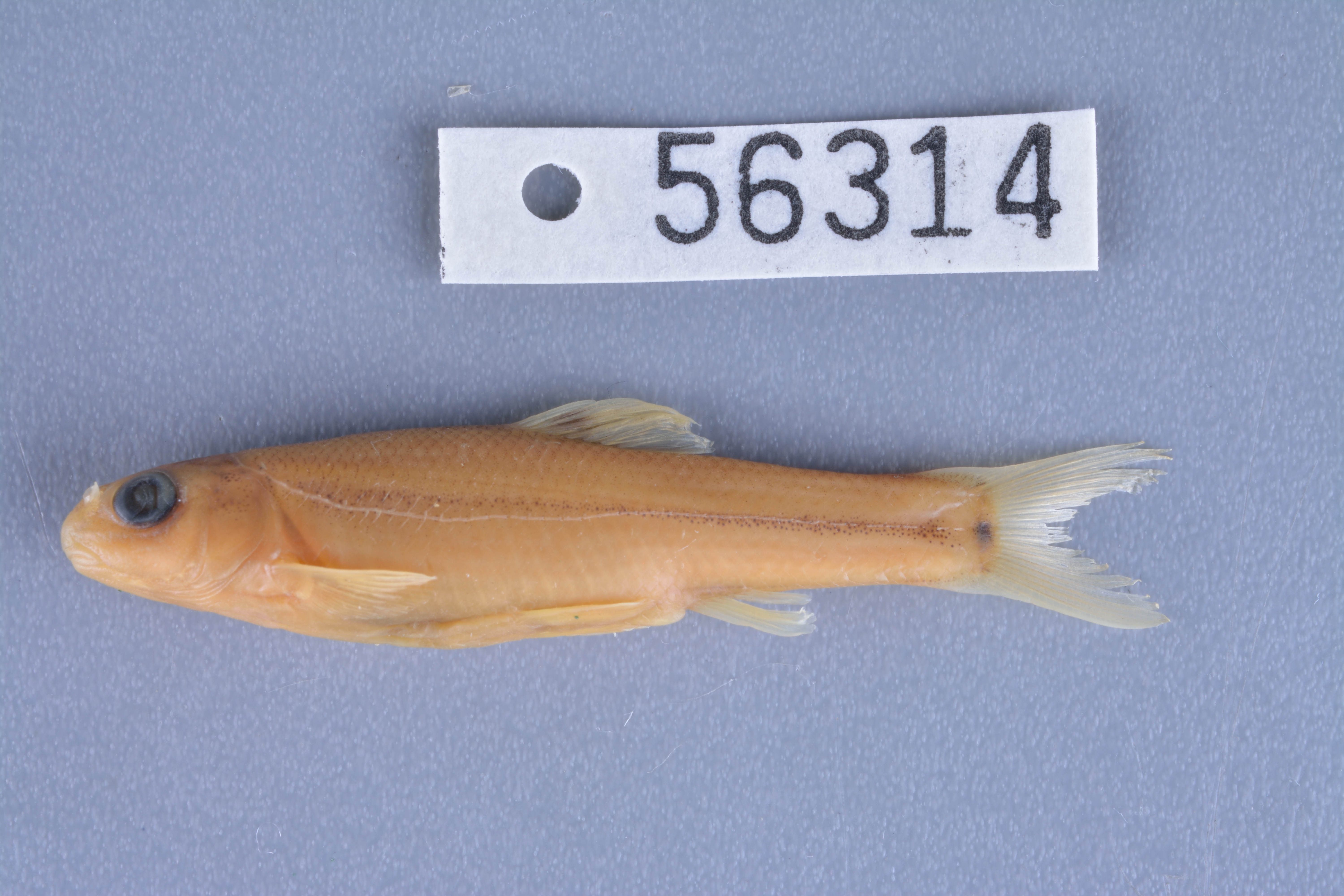
TNHCi_56314
Not suspect, not examined
Bullhead Minnow –
Pimephales vigilax
Photos
Map
Location
30.66081° N, 96.30239° W
(± 38183.2
m)
Taxonomy
FamilyCyprinidae
GenusPimephales
Speciesvigilax
Specimen
Num Specimens59
PreparationFluid - 59
Identification
Identification RemarksVerified by Doug Martin, 27-06-2013
Identified ByConner
Date Identified..
Collection Event
CollectorConner
Collected Date1967.3.11
Field Numberz56314
Event RemarksLikely collected on the county line
Geography
CountryUnited States
StateTexas
CountyBrazos
LocalityUnknown
DatumWGS84
Record
Occurrence RemarksA&M catalog number: 3487?. Information taken from tag only.
Record Source
Source
Texas Natural History Collections
(type: specimens)
Institution
Texas Natural History Collections
(type: museum)
Curator
Dean Hendrickson
Record Added
June 24, 2020
Record Last Modified
March 23, 2026
Data Processing Track
Track 3
From Data Set Received
5/2017 to 11/2017
Identification
Suspect Notes
None
Count
59
Current Determination
Determiner
Unknown
Determination Date
Unknown
Determination Type
Unspecified
Identification Comments
None
Identification Confidence
Unknown
Collecting Event
Collected
March 11, 1967
Collector(s)
Collecting Event ID
289899
Field Notes
There are no field notes available.
Locality
Jurisdiction
Brazos, Texas
Name
Texas State, Brazos County/Parish/Municipio
Hydrography
USGS HUC
Texas-Gulf Region
Lower Brazos
Lower Brazos
Navasota
Gibbons Creek-Navasota River
Bee Creek-Carters Creek
HydroBASINS
7516
751620
75162003
7516200320
751620032000
Captive
no
Locality Photos
No locality photos available.
HUC 12
120701030702
Georeferencing Remarks
County matched to list of GIS determined county centroids and errors.
Georeferencing Annotation
—
Has not been Georeferenced because
This record, being part of the track 3 import, is not formally georeferenced by FoTX staff at this time. However, to allow mapping and visualization of this record, locality information has been provisionally accepted if provided by the donor or if location text could be matched to previously georeferenced records by FoTX team or donor data. For many records spatial error is either accepted from the donor (when provided) or derived based on coordinate precision.
Comments On TNHCi_56314