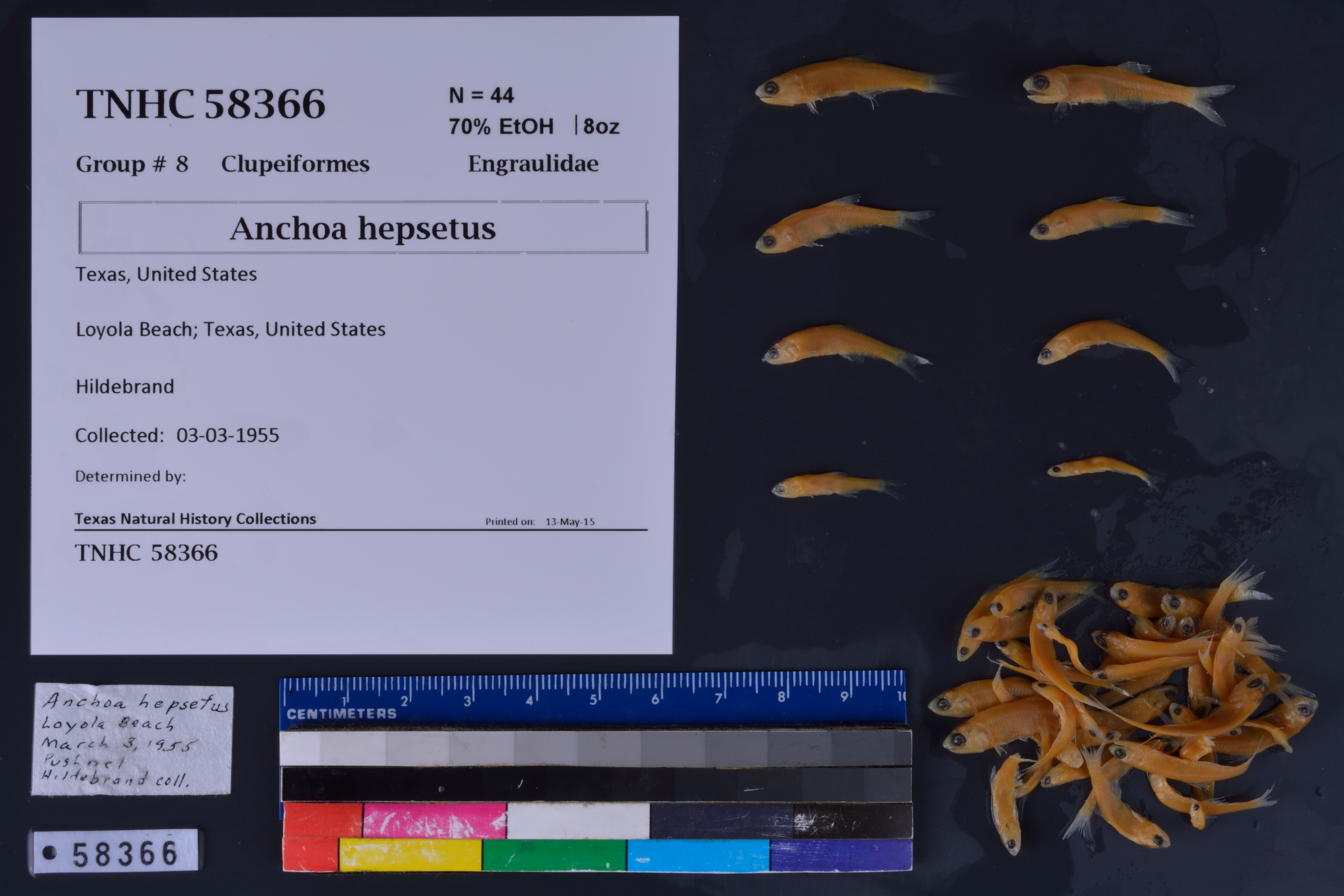
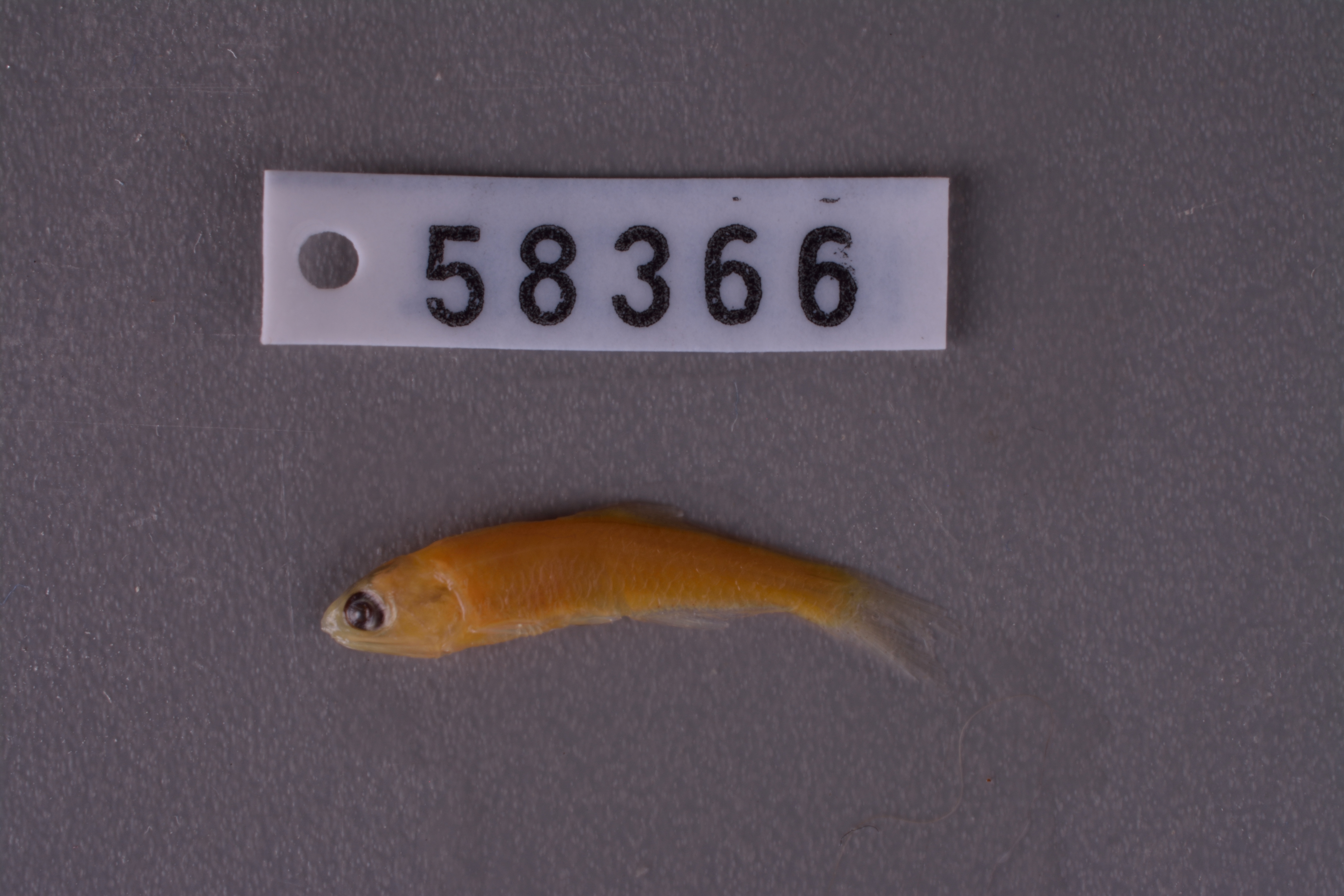
TNHCi_58366
Not suspect, not examinedPhotos
Map
Location
27.33318° N, 97.69489° W
(± 351.5
m)
Taxonomy
FamilyEngraulidae
GenusAnchoa
Specieshepsetus
Specimen
Num Specimens44
PreparationFluid - 44
Identification
Date Identified..
Collection Event
CollectorHildebrand
Collected Date1955.3.3
Field Numberz58366
Event Remarksgear: pushnet; Texas is assumed
Geography
CountryUnited States
StateTexas
LocalityLoyola Beach
Latitude27.333183
Longitude-97.694886
DatumWGS84
Error351.486
Georeferencing
Georeference RemarksTreated as named place.
Record
Occurrence RemarksFound in TNHC #18707 - catalogued according to label that was in vial
Record Source
Source
Texas Natural History Collections
(type: specimens)
Institution
Texas Natural History Collections
(type: museum)
Curator
Dean Hendrickson
Record Added
June 24, 2020
Record Last Modified
March 23, 2026
Data Processing Track
Track 3
From Data Set Received
5/2017 to 11/2017
Identification
Suspect Notes
None
Count
44
Current Determination
Determiner
Unknown
Determination Date
Unknown
Determination Type
Unspecified
Identification Comments
None
Identification Confidence
Unknown
Collecting Event
Collected
March 3, 1955
Collector(s)
Collecting Event ID
279236
Field Notes
There are no field notes available.
Locality
Jurisdiction
Kleberg, Texas
Name
Loyola Beach
Hydrography
Texas-Gulf Region
Nueces-Southwestern Texas Coastal
Southwestern Texas Coastal
Baffin Bay
Cayo del Grullo
Araña Creek
Captive
no
Locality Photos
No locality photos available.
HUC 12
121102050703
Georeferencing Remarks
Georeference needs verification/refinement; coordinates provided by donor
Georeferencing Annotation
—
Has not been Georeferenced because
This record, being part of the track 3 import, is not formally georeferenced by FoTX staff at this time. However, to allow mapping and visualization of this record, locality information has been provisionally accepted if provided by the donor or if location text could be matched to previously georeferenced records by FoTX team or donor data. For many records spatial error is either accepted from the donor (when provided) or derived based on coordinate precision.
Comments On TNHCi_58366