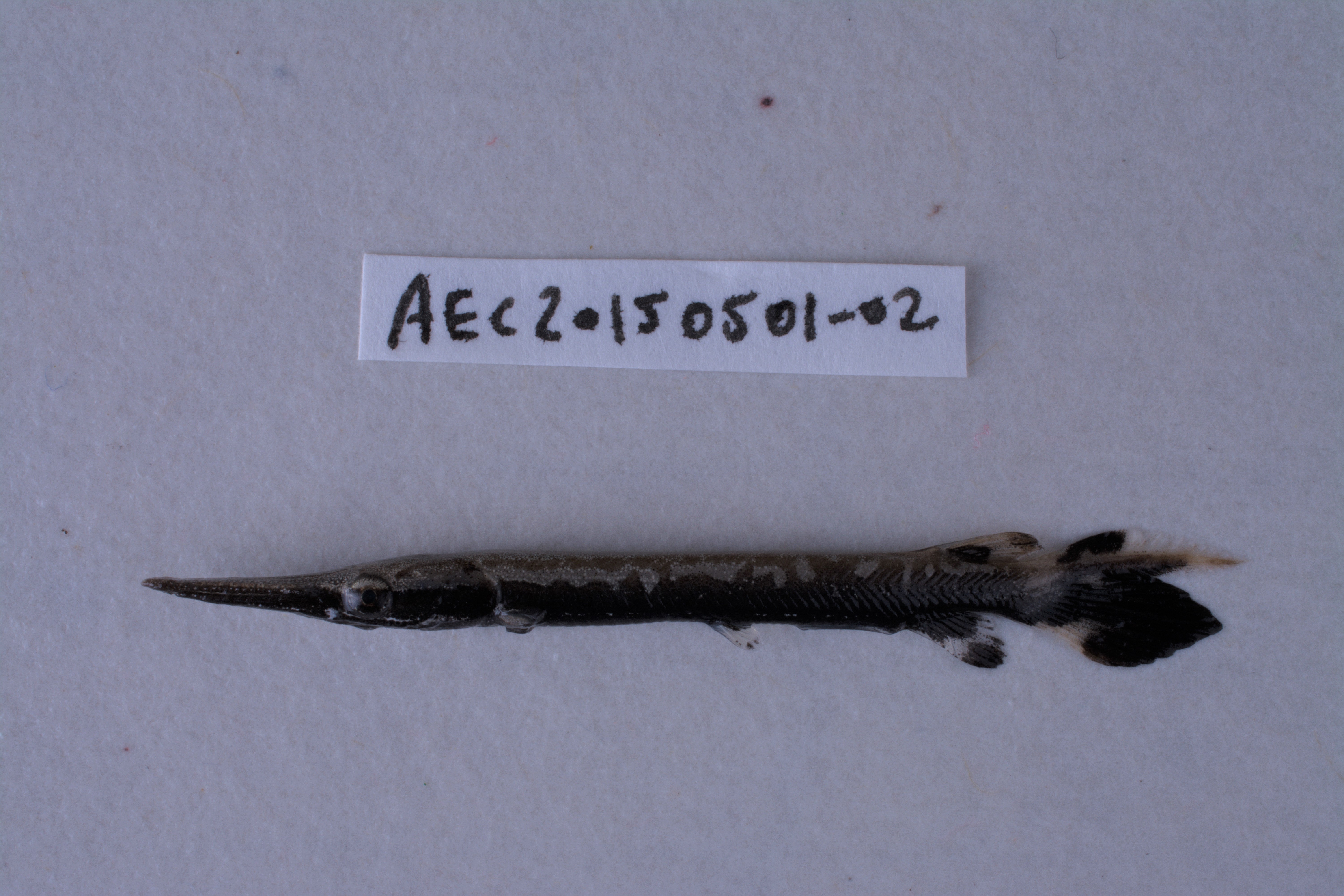
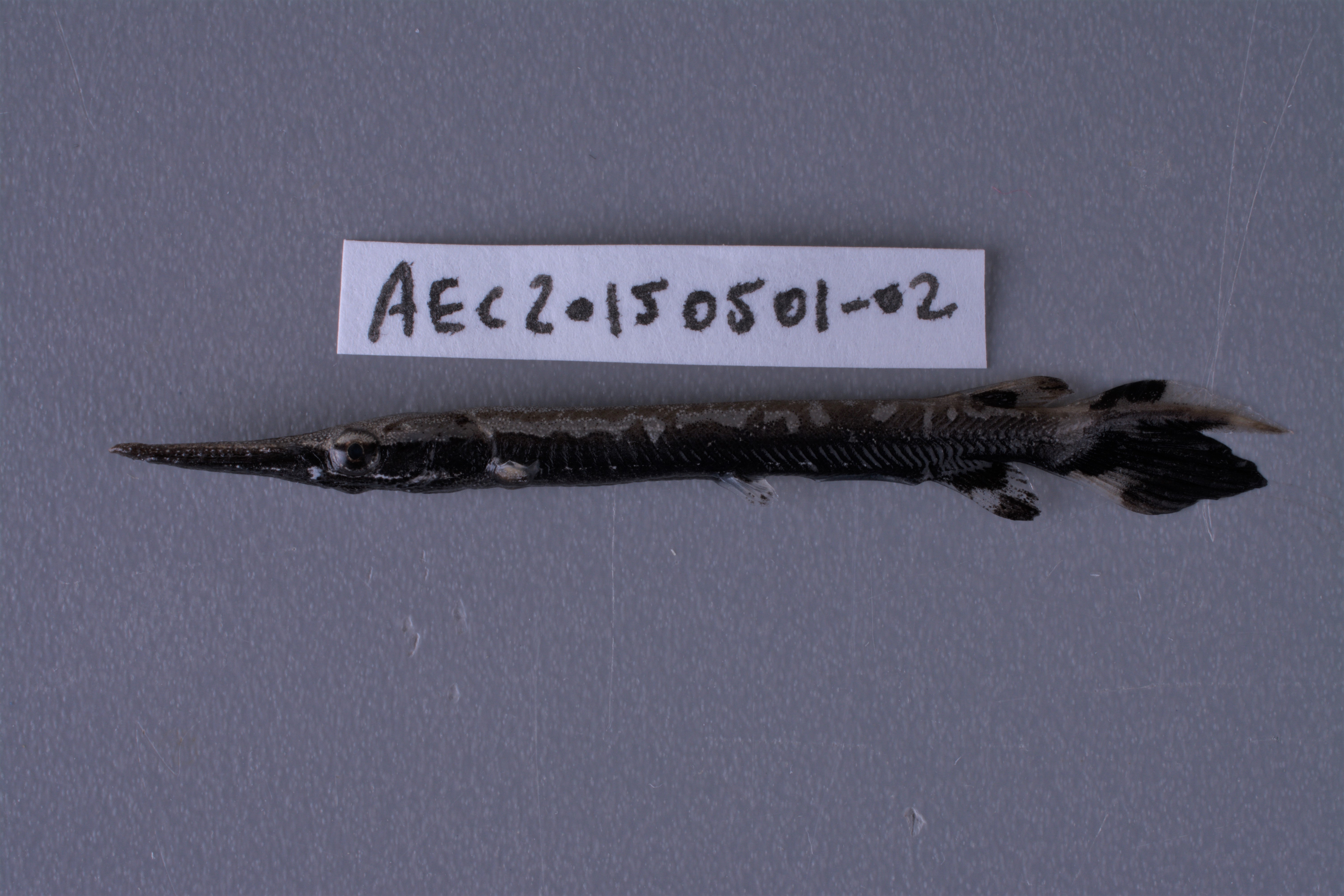
TNHCi_58753
Not suspect, not examinedPhotos
Map
Location
30.25535° N, 94.17249° W
(± 200
m)
Taxonomy
FamilyLepisosteidae
GenusLepisosteus
Speciesoculatus
Specimen
Num Specimens1
PreparationFluid - 1
Identification
Identification RemarksFDM notes: < 49 predorsal myomeres, 57 total myomeres
Identified ByMartin, F.
Date Identified2015.7.28
Collection Event
CollectorCohen, A.; Labay, Ben; Casarez, Melissa; Robertson, Sarah; Janise, Cody
Collected Date2015.5.1
Field NumberAEC20150501-2
Event Remarkstrot lines, seines, cast nets used too - traps set overnight; field number on handwritten tags in jars read: AEC20150501-02 (should be -2 not -02)
Geography
CountryUnited States
StateTexas
CountyHardin
LocalityVillage Creek at Village Creek State Park
Latitude30.255349
Longitude-94.172491
DatumWGS84
Error200.0
Record Source
Source
Texas Natural History Collections
(type: specimens)
Institution
Texas Natural History Collections
(type: museum)
Curator
Dean Hendrickson
Record Added
June 24, 2020
Record Last Modified
March 23, 2026
Data Processing Track
Track 3
From Data Set Received
5/2017 to 11/2017
Identification
Suspect Notes
None
Count
1
Current Determination
Determiner
Unknown
Determination Date
Unknown
Determination Type
Unspecified
Identification Comments
None
Identification Confidence
Unknown
Collecting Event
Collected
May 1, 2015
Collecting Event ID
417244
Field Notes
There are no field notes available.
Locality
Jurisdiction
Hardin, Texas
Name
Village Creek at Village Creek State Park
Hydrography
Texas-Gulf Region
Neches
Neches
Village
Cypress Creek-Village Creek
Ellis Branch-Village Creek
Captive
no
Locality Photos
No locality photos available.
HUC 12
120200060407
Georeferencing Remarks
Georeference needs verification/refinement; coordinates provided by donor
Georeferencing Annotation
—
Has not been Georeferenced because
This record, being part of the track 3 import, is not formally georeferenced by FoTX staff at this time. However, to allow mapping and visualization of this record, locality information has been provisionally accepted if provided by the donor or if location text could be matched to previously georeferenced records by FoTX team or donor data. For many records spatial error is either accepted from the donor (when provided) or derived based on coordinate precision.
Comments On TNHCi_58753