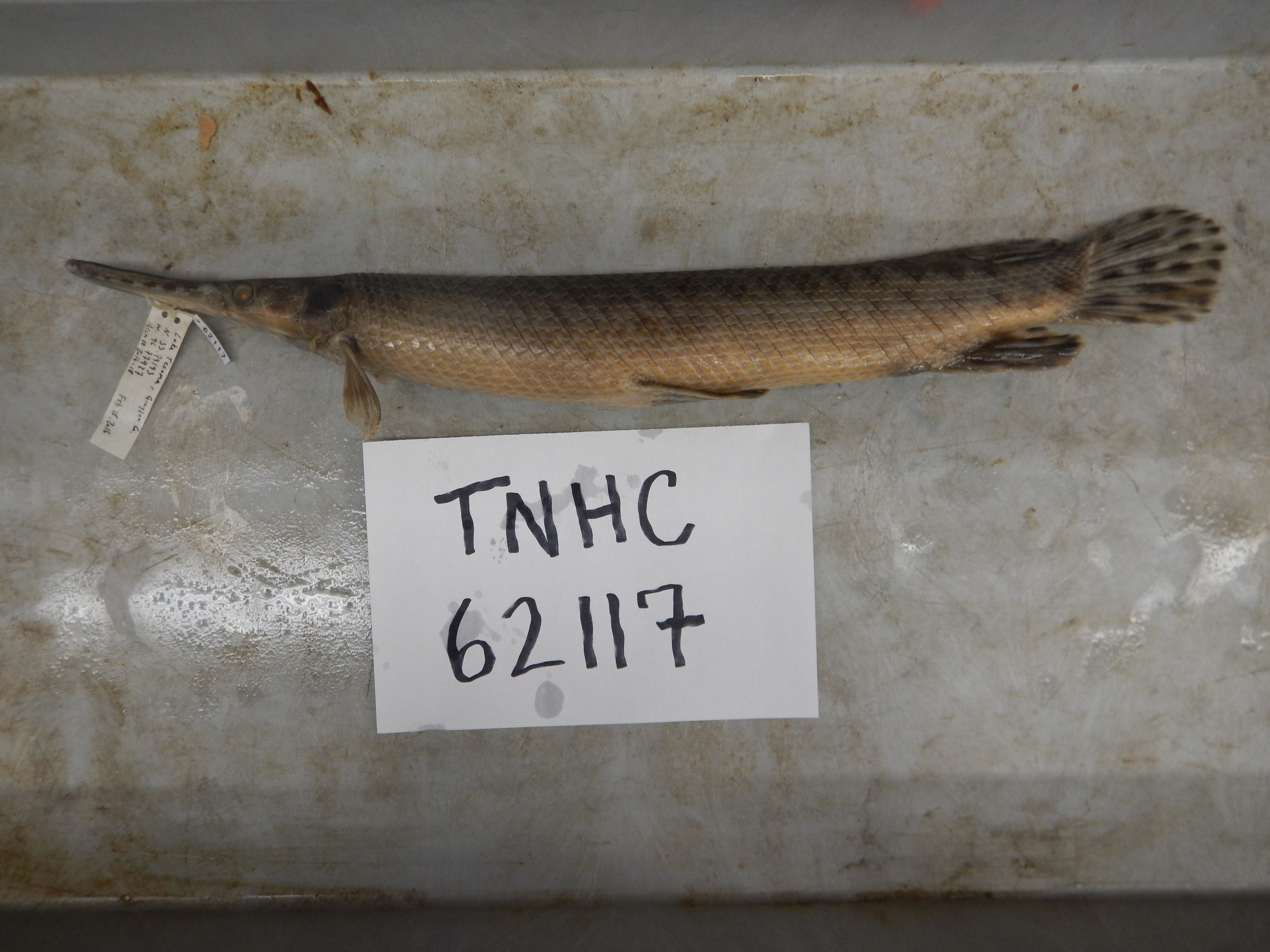
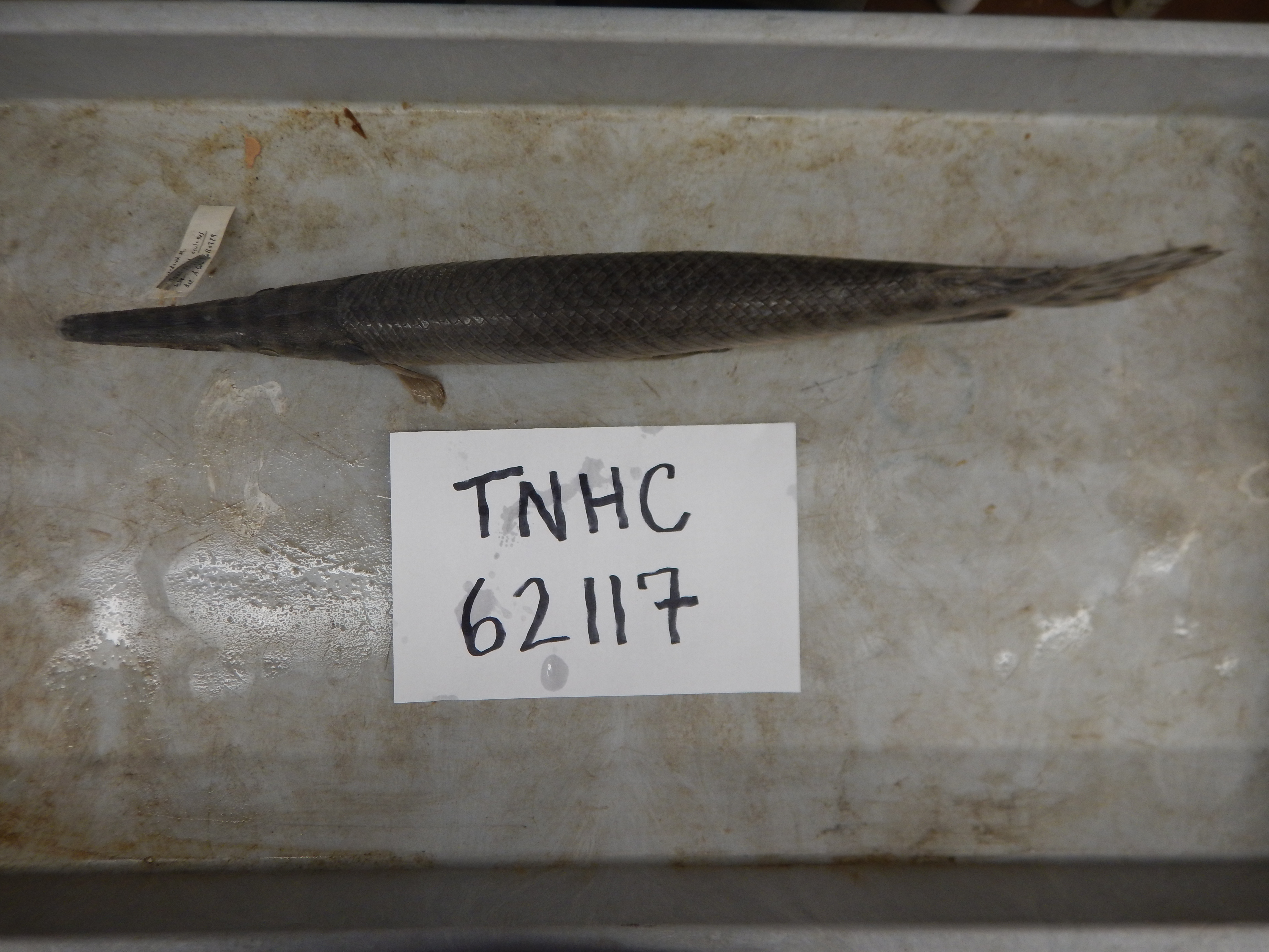
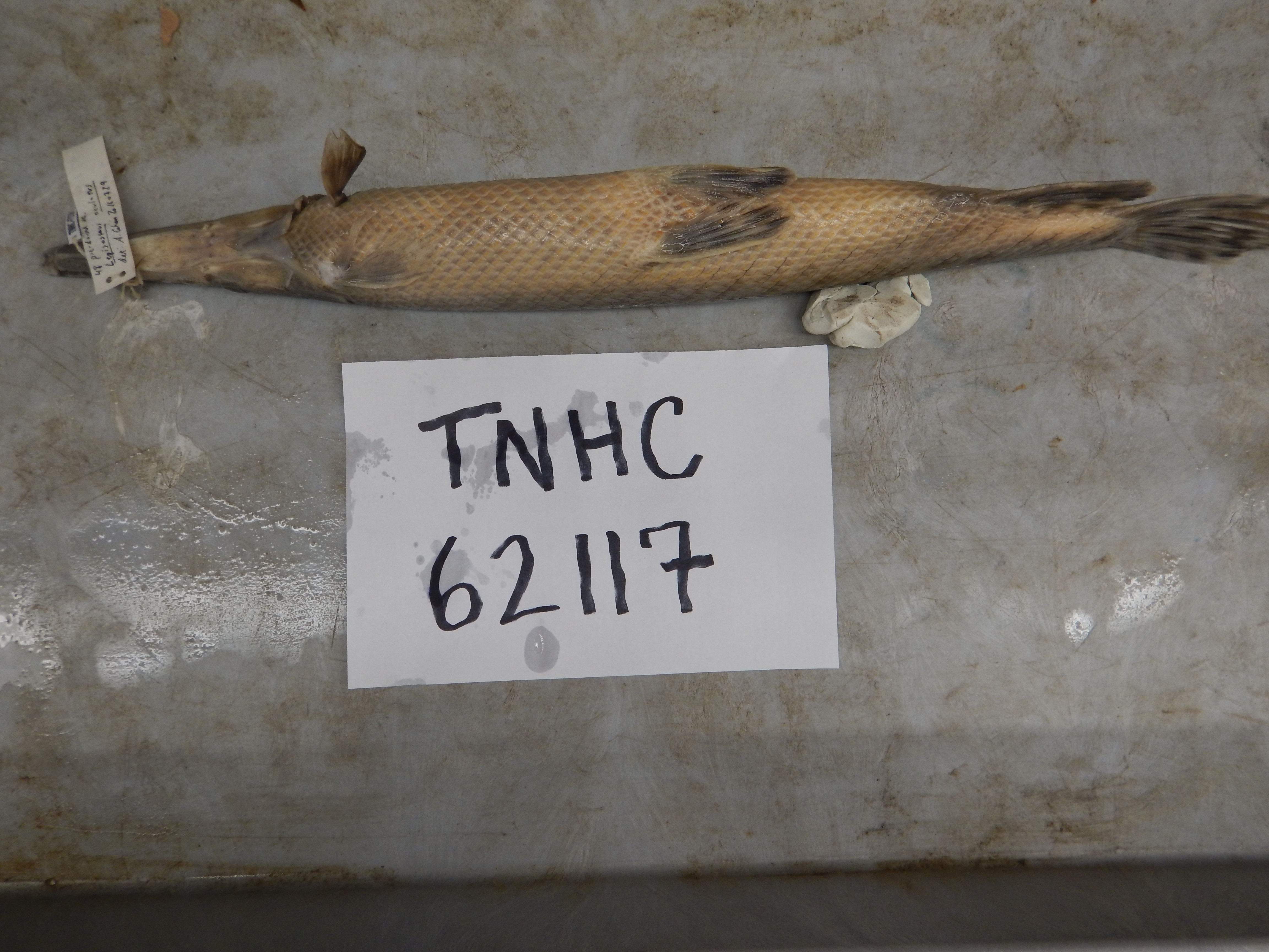
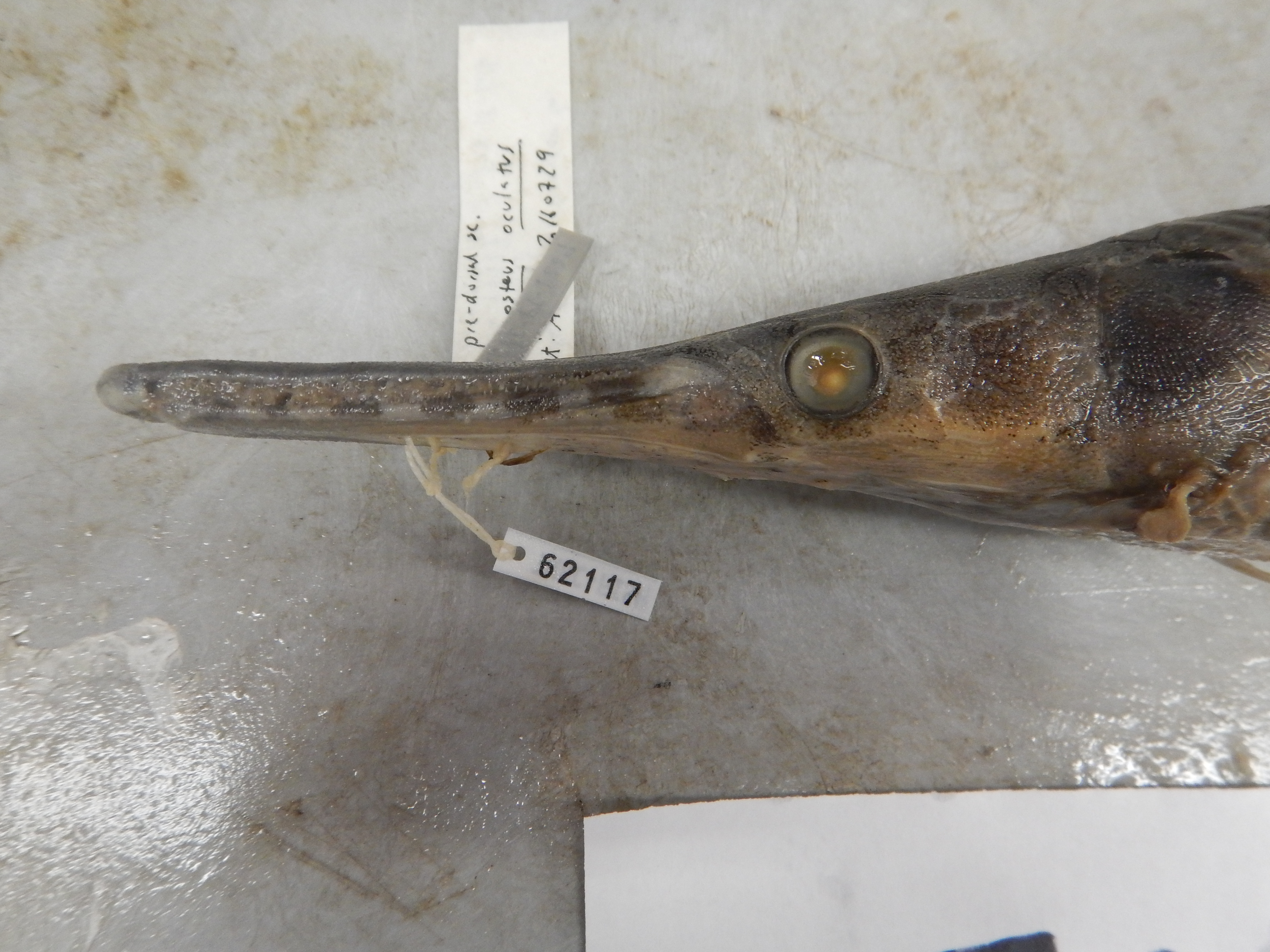
TNHCi_62117
Not suspect, pending examinationPhotos
Map
Location
33.74193° N, 96.77927° W
(± 6000
m)
Taxonomy
FamilyLepisosteidae
GenusLepisosteus
Speciesoculatus
Specimen
Num Specimens1
PreparationTissue - 1; Fluid - 1
Identification
Identified ByCohen, A.
Date Identified2016.7.29
Collection Event
CollectorMoczygemba, John; Bennett, Dan; Robinson, Todd; Clouse, Corey
Collected Date2016.2.18
Field Numberz62115
Geography
CountryUnited States
StateTexas
CountyGrayson
LocalityLake Texoma
Latitude33.74193
Longitude-96.77927
DatumWGS84
Error6000.0
Georeferencing
Georeference RemarksUncertainty estimated to include entirety of Lake Texoma within Grayson Co.
Record
Occurrence RemarksSpecimen donated by TPWD
Record Source
Source
Texas Natural History Collections
(type: specimens)
Institution
Texas Natural History Collections
(type: museum)
Curator
Dean Hendrickson
Record Added
June 24, 2020
Record Last Modified
March 23, 2026
Data Processing Track
Track 3
From Data Set Received
5/2017 to 11/2017
Identification
Suspect Notes
None
Count
1
Current Determination
Determiner
Unknown
Determination Date
Unknown
Determination Type
Unspecified
Identification Comments
None
Identification Confidence
Unknown
Collecting Event
Collected
Feb. 18, 2016
Collector(s)
Collecting Event ID
430627
Field Notes
There are no field notes available.
Locality
Jurisdiction
Grayson, Texas
Name
Lake Texoma
Hydrography
Arkansas-White-Red Region
Red-Washita
Red-Lake Texoma
Lake Texoma
Big Mineral Arm
Walnut Creek-Big Mineral Arm
Captive
no
Locality Photos
No locality photos available.
HUC 12
111302100406
Georeferencing Remarks
Georeference needs verification/refinement; coordinates provided by donor
Georeferencing Annotation
—
Has not been Georeferenced because
This record, being part of the track 3 import, is not formally georeferenced by FoTX staff at this time. However, to allow mapping and visualization of this record, locality information has been provisionally accepted if provided by the donor or if location text could be matched to previously georeferenced records by FoTX team or donor data. For many records spatial error is either accepted from the donor (when provided) or derived based on coordinate precision.
Comments On TNHCi_62117