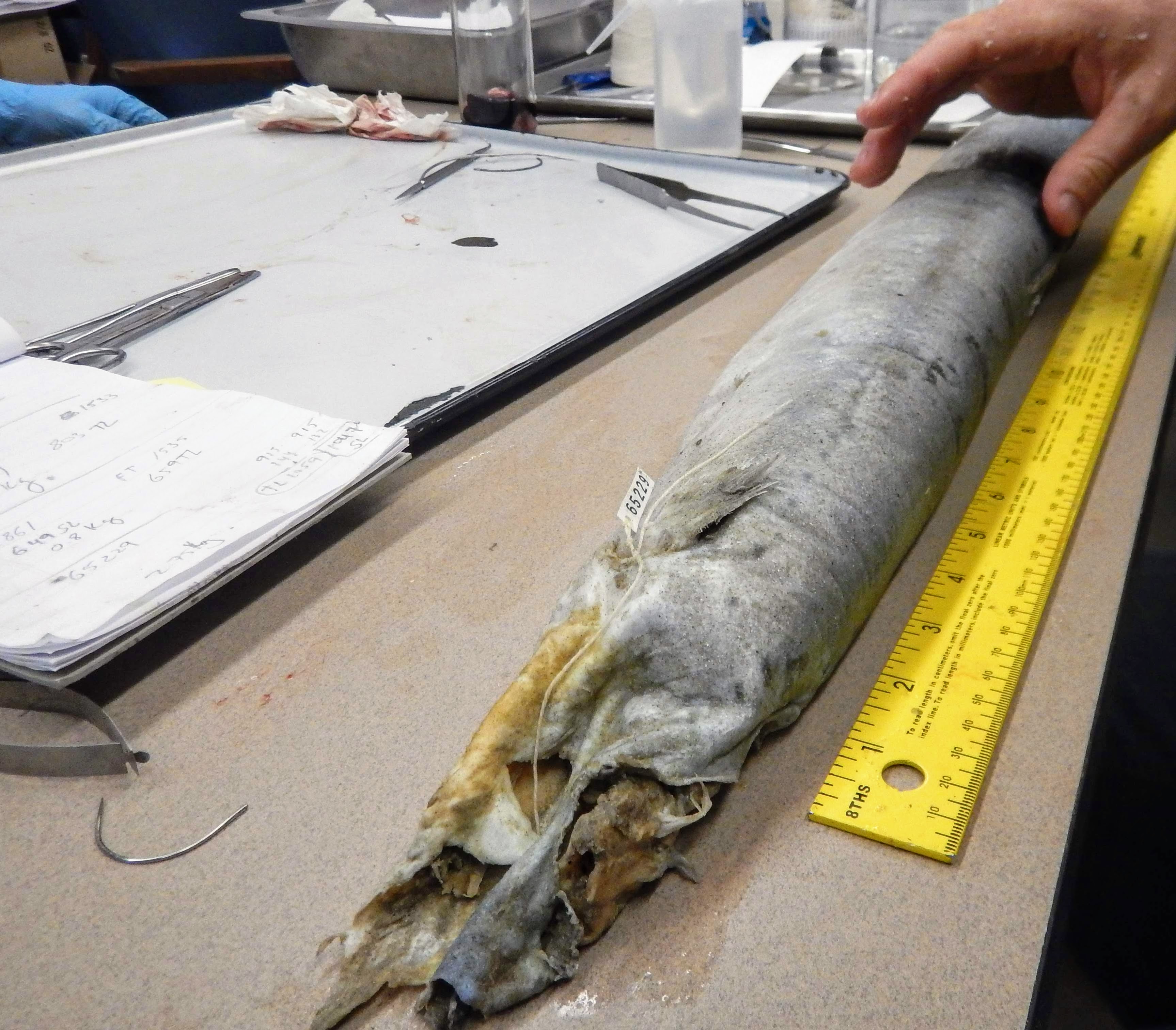
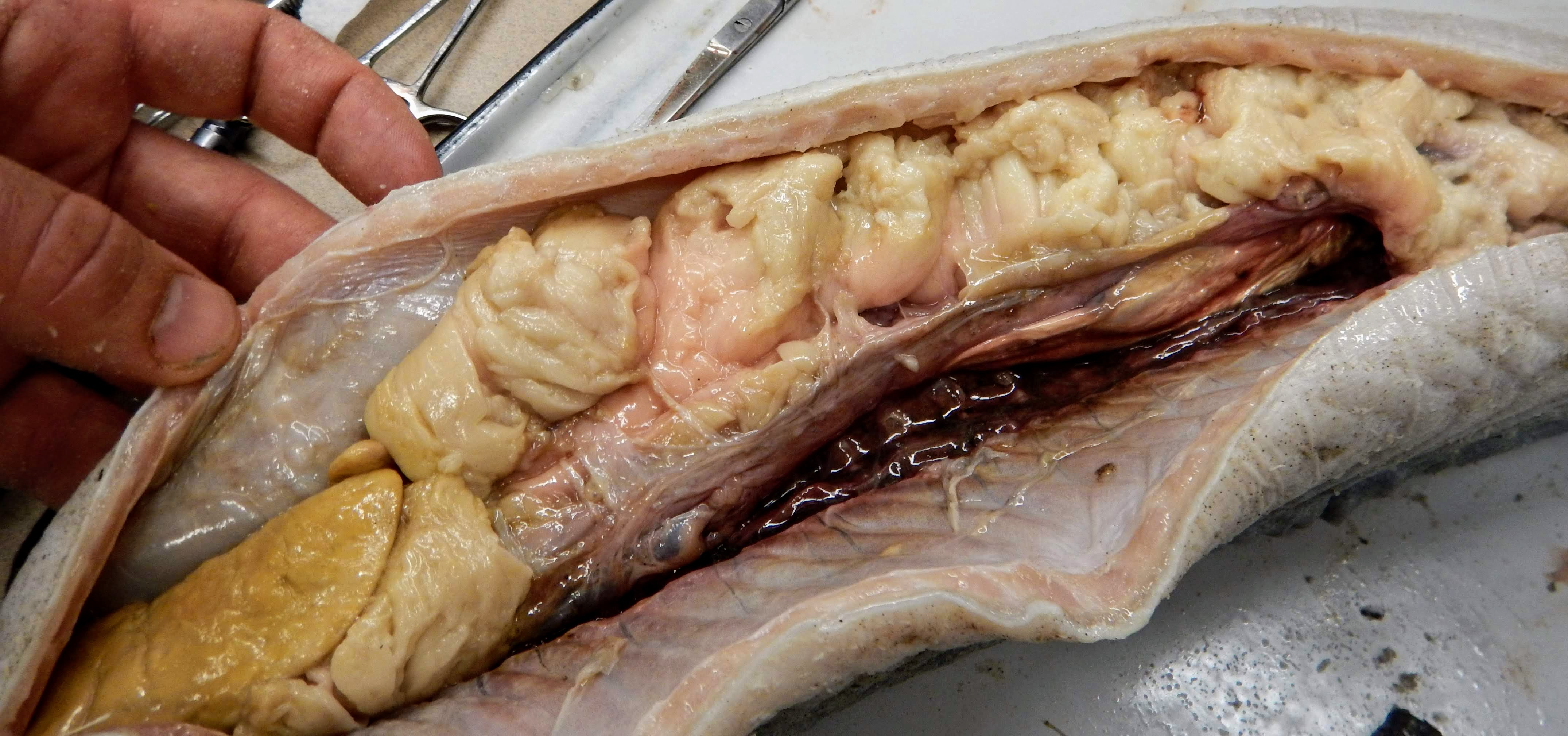
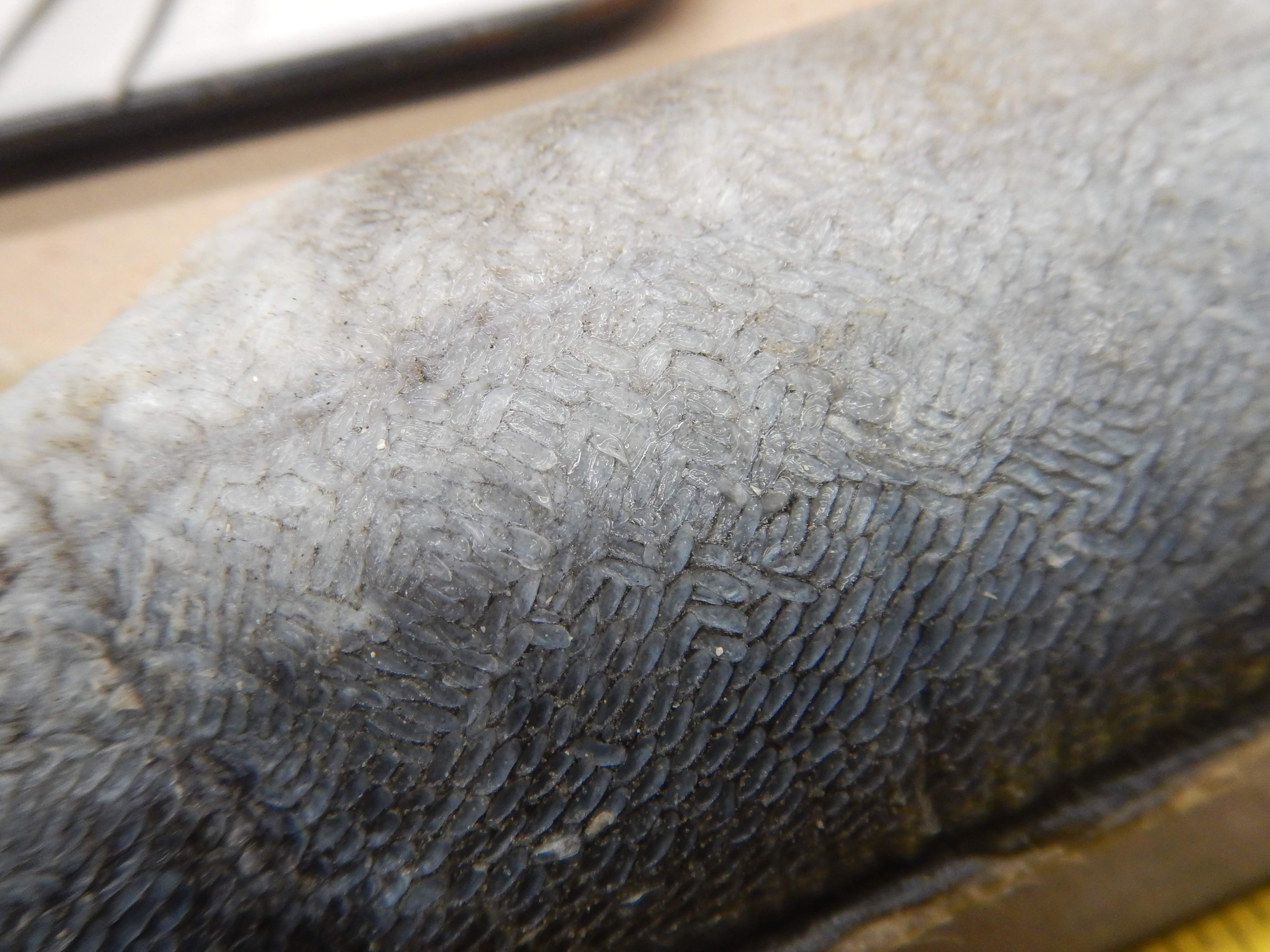
TNHCi_65229
Not suspect, not examinedPhotos
Map
Location
27.79154° N, 97.08515° W
(± 100
m)
Taxonomy
FamilyAnguillidae
GenusAnguilla
Speciesrostrata
Specimen
Num Specimens2
PreparationTissue - 1; Fluid - 1; Otolith - 2
Collection Event
CollectorMcIntyre, Jon
Collected Date25-1-2018 to 25-1-2018
Field Numberz65229
Geography
CountryUnited States
StateTexas
CountyNueces
Localityoff beach on Mustang Island, near Access Rd 1; Nueces, Texas, United States; 27.7915360000, -97.0851480000
Latitude27.7915360000
Longitude-97.0851480000
Error100.0000000000
Other
Event RemarksLocality information sourced from iNaturalist observation made by Jon McIntyre: https://www.inaturalist.org/observations/9613513
Record Source
Source
Texas Natural History Collections
(type: specimens)
Institution
Texas Natural History Collections
(type: museum)
Curator
Dean Hendrickson
Record Added
June 24, 2020
Record Last Modified
March 23, 2026
Data Processing Track
Track 3
From Data Set Received
June 6, 2020
Identification
Suspect Notes
None
Count
2
Current Determination
Determiner
Unknown
Determination Date
Unknown
Determination Type
Unspecified
Identification Comments
None
Identification Confidence
Unknown
Collecting Event
Collected
Jan. 25, 2018
Collector(s)
Collecting Event ID
433274
Field Notes
There are no field notes available.
Locality
Jurisdiction
Gulf of Mexico, North America
Name
off beach on Mustang Island, near Access Rd 1; Nueces, Texas, United States; 27.7915360000, -97.0851480000
Hydrography
Texas-Gulf Region
Nueces-Southwestern Texas Coastal
Southwestern Texas Coastal
South Corpus Christi Bay
Frontal Corpus Christi Bay
Frontal Corpus Christi Bay
Captive
no
Locality Photos
No locality photos available.
HUC 12
121102020200
Georeferencing Remarks
Georeferencing details copied from donor into FoTX fields | Georef remarks:
Georeferencing Annotation
—
Has not been Georeferenced because
This record, being part of the track 3 import, is not formally georeferenced by FoTX staff at this time. However, to allow mapping and visualization of this record, locality information has been provisionally accepted if provided by the donor or if location text could be matched to previously georeferenced records by FoTX team or donor data. For many records spatial error is either accepted from the donor (when provided) or derived based on coordinate precision.
Comments On TNHCi_65229