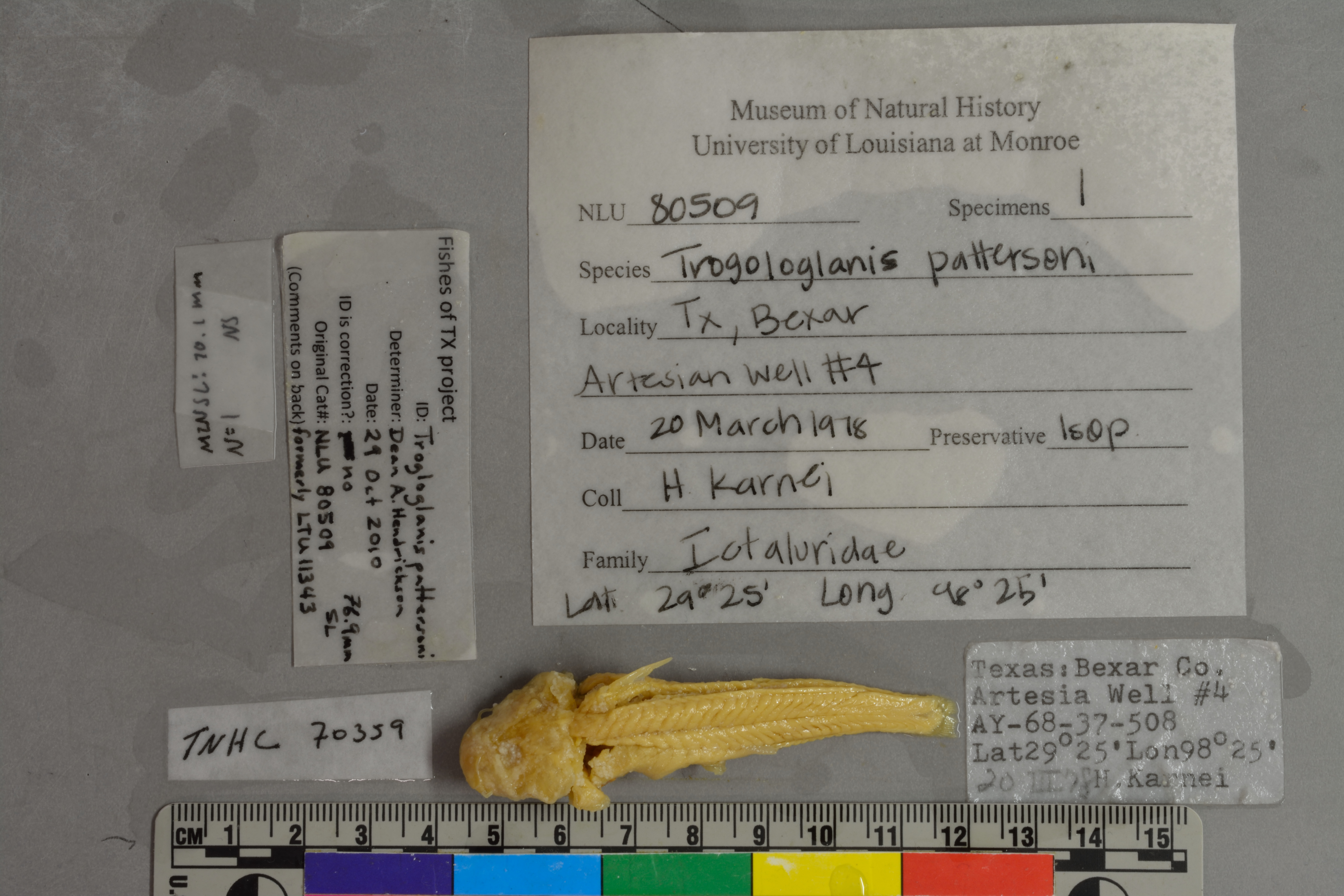
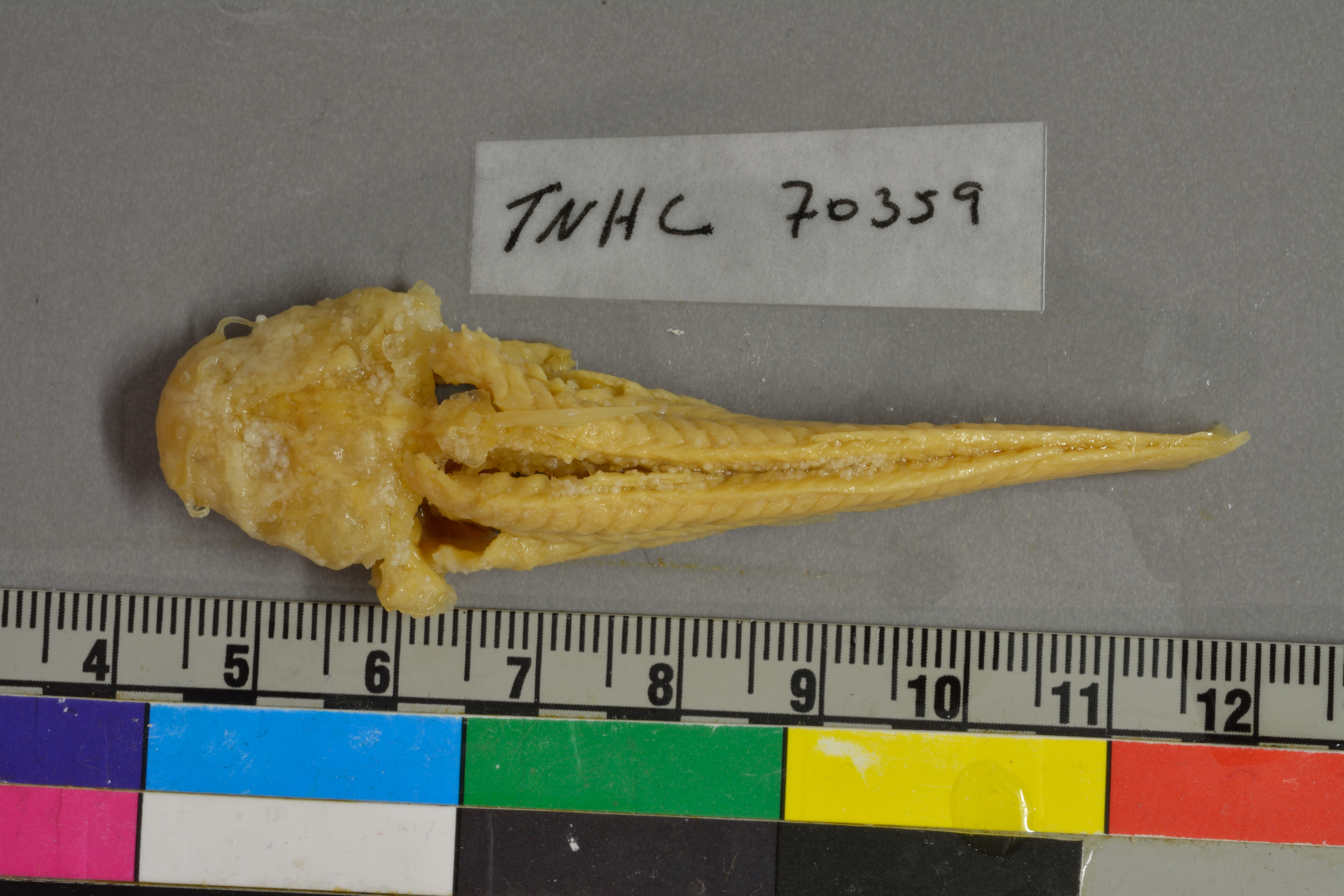
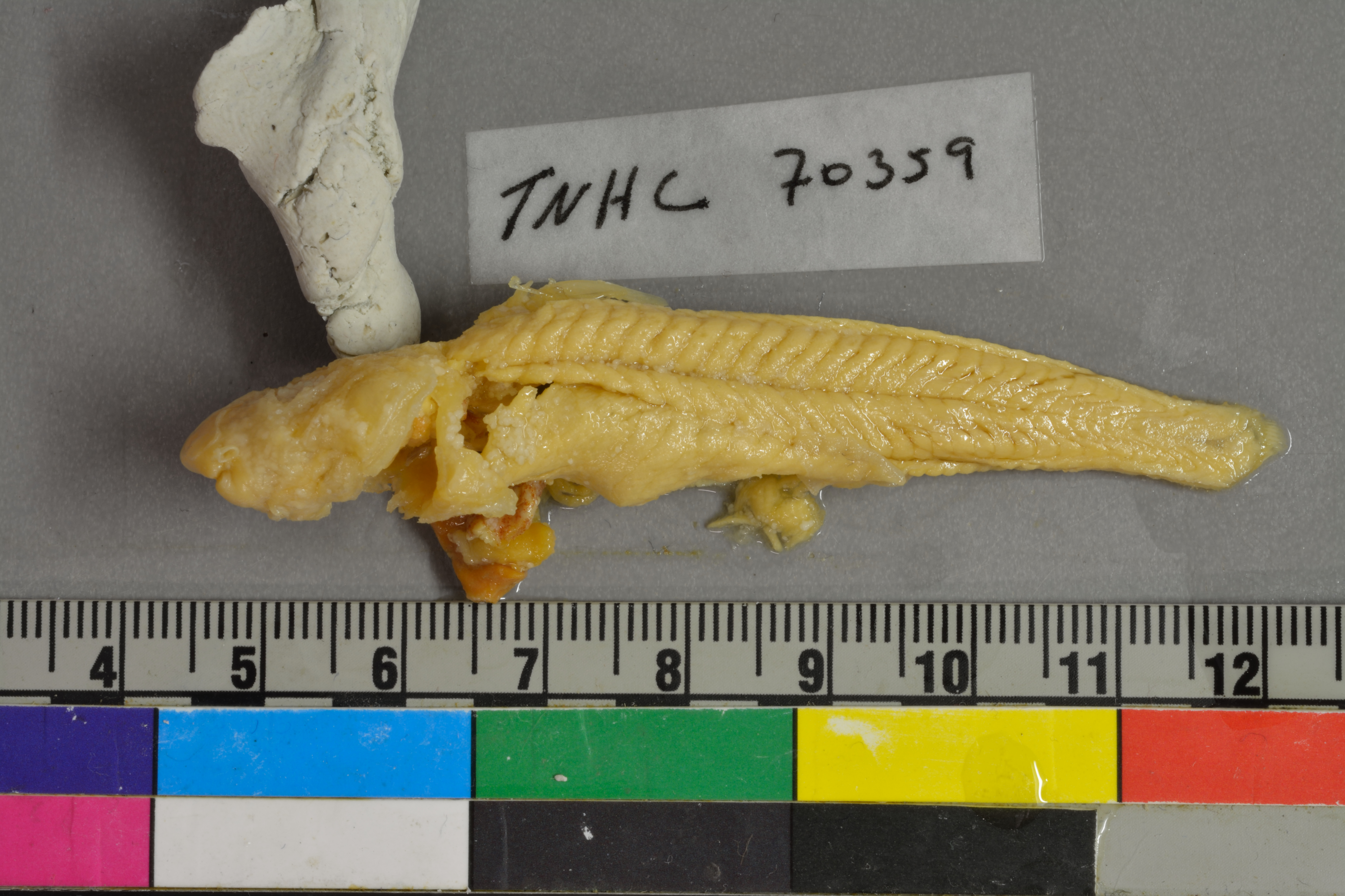
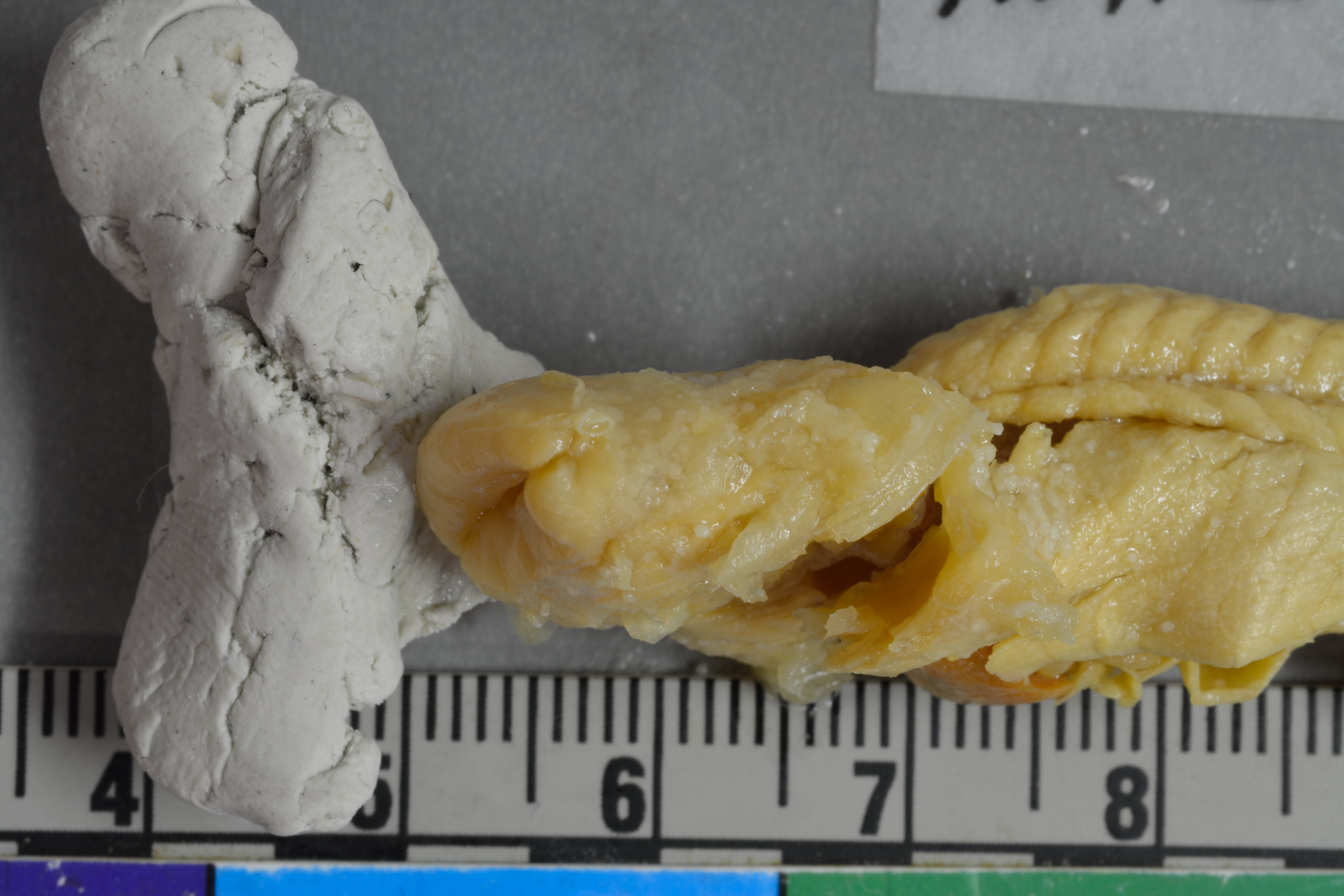
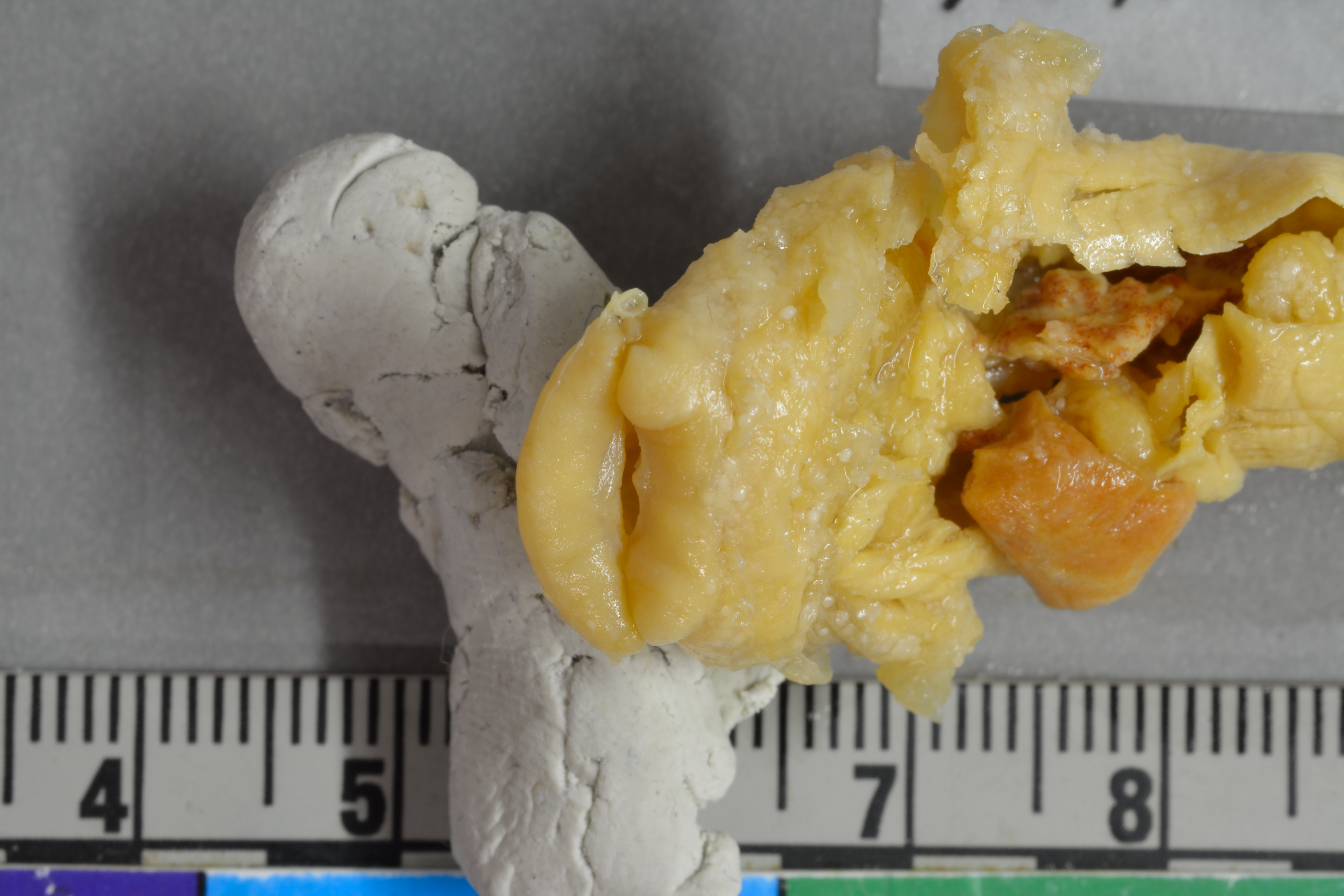
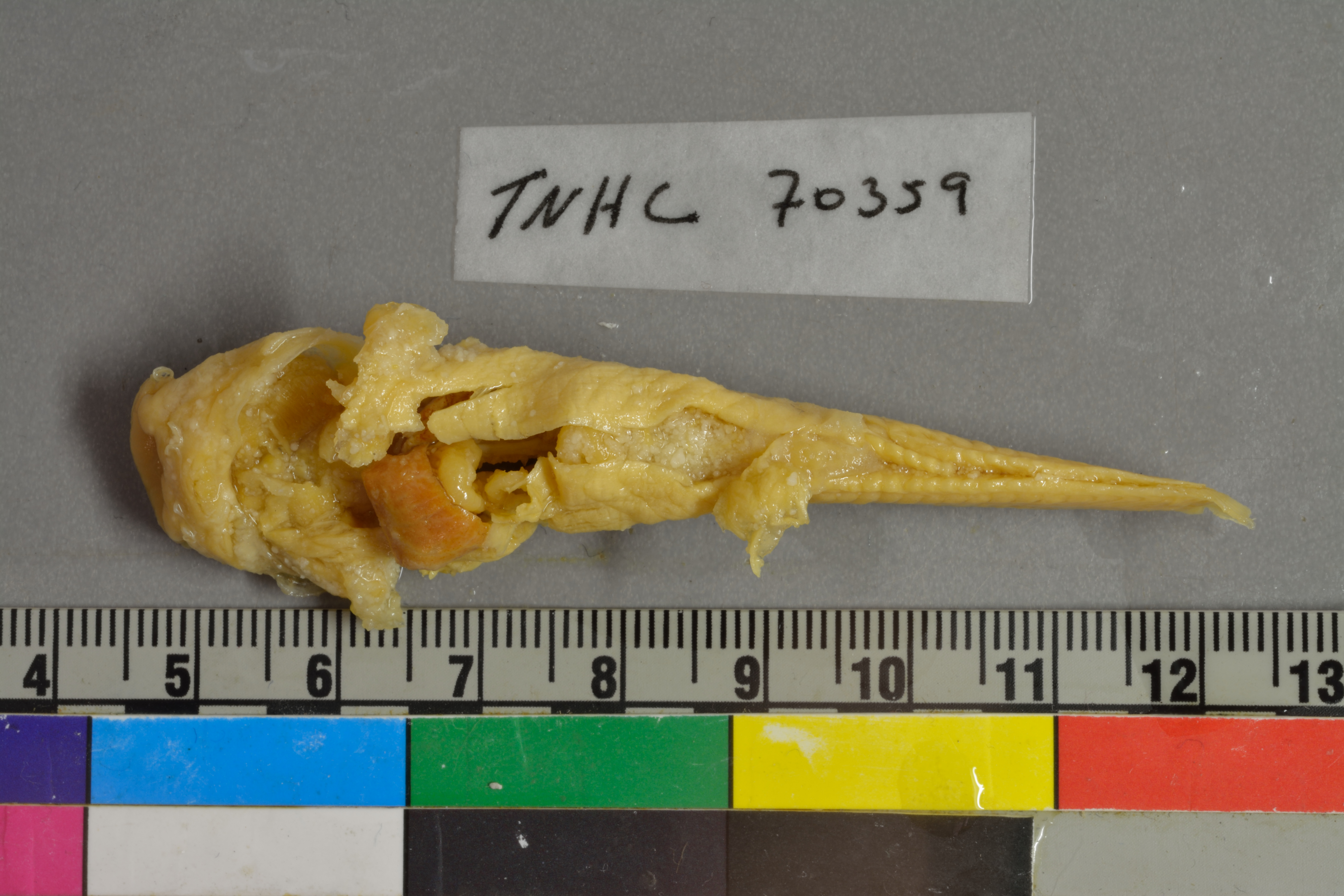
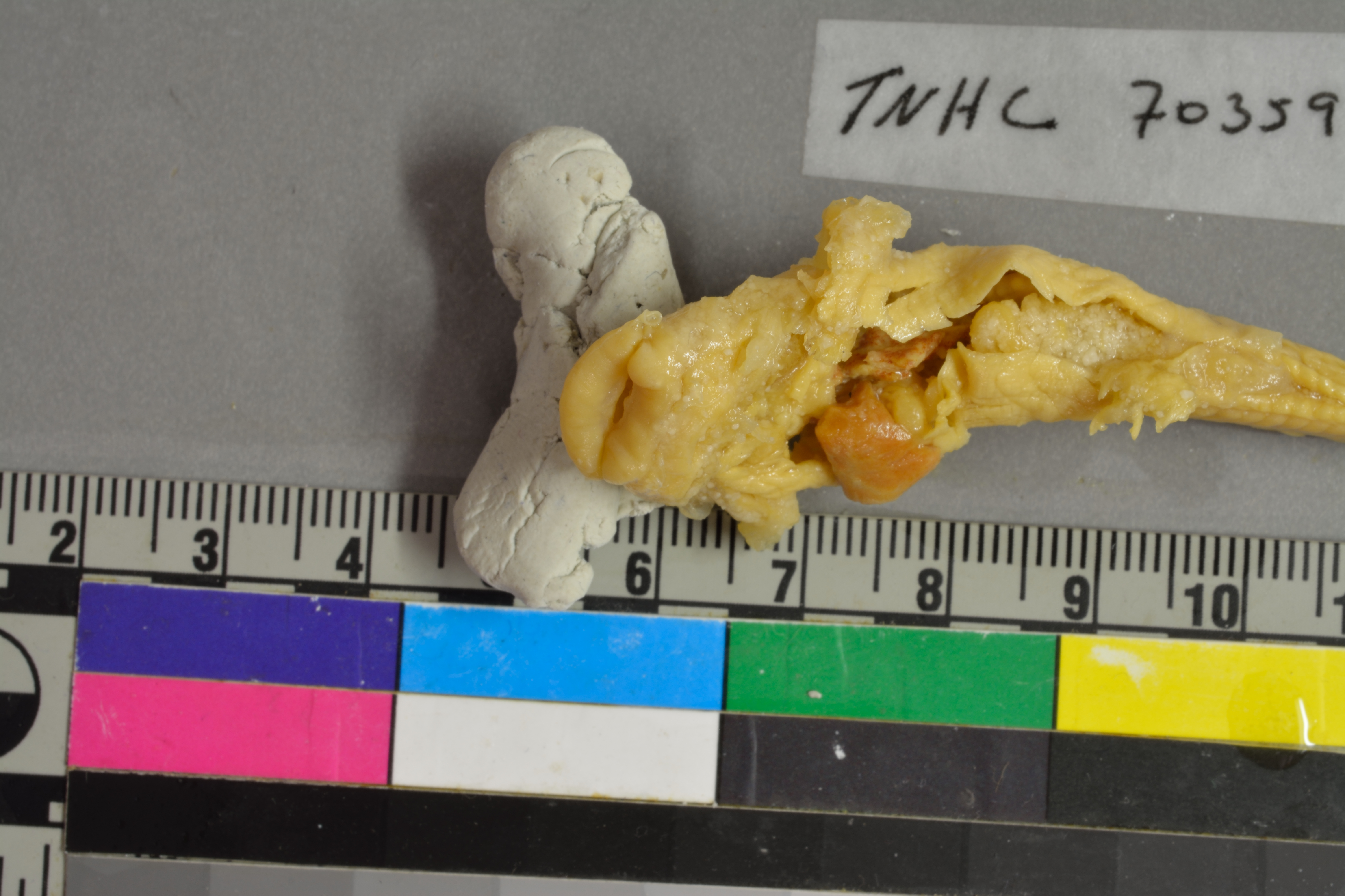
TNHCi_70359
Not suspect, not examinedPhotos
Map
Location
29.41667° N, 98.41667° W
(± 45
m)
Taxonomy
FamilyIctaluridae
GenusTrogloglanis
Speciespattersoni
Specimen
Num Specimens1
PreparationFluid - 1
Collection Event
CollectorKarnei, Henry
Collected Date20-3-1978 to 20-3-1978
Field Numberz70359
Geography
CountryUnited States
StateTexas
CountyBexar
LocalityARTESIAN WELL #4; Bexar, Texas, United States; 29.4166700000, -98.4166700000
Latitude29.4166700000
Longitude-98.4166700000
DatumWGS84
Error45.0000000000
Record Source
Source
Texas Natural History Collections
(type: specimens)
Institution
Texas Natural History Collections
(type: museum)
Curator
Dean Hendrickson
Record Added
June 24, 2020
Record Last Modified
March 23, 2026
Data Processing Track
Track 3
From Data Set Received
June 6, 2020
Identification
Suspect Notes
None
Count
1
Current Determination
Determiner
Dean Hendrickson
Determination Date
Oct. 29, 2010
Determination Type
specimen examination
Identification Comments
ID complete | formerly LTU11343 | specimen examined at NLU, before it was donated to TNHC
Identification Confidence
High
Collecting Event
Collected
March 20, 1978
Collector(s)
Collecting Event ID
304118
Field Notes
There are no field notes available.
Locality
Jurisdiction
Bexar, Texas
Name
ARTESIAN WELL #4; Bexar, Texas, United States; 29.4166700000, -98.4166700000
Hydrography
Texas-Gulf Region
Central Texas Coastal
San Antonio
Upper San Antonio
Headwaters Salado Creek
Walzem Creek
Captive
no
Locality Photos
No locality photos available.
HUC 12
121003010105
Georeferencing Remarks
Georeferencing details copied from donor into FoTX fields | Georef remarks: Lat/Long taken from GPS coords
Georeferencing Annotation
—
Has not been Georeferenced because
This record, being part of the track 3 import, is not formally georeferenced by FoTX staff at this time. However, to allow mapping and visualization of this record, locality information has been provisionally accepted if provided by the donor or if location text could be matched to previously georeferenced records by FoTX team or donor data. For many records spatial error is either accepted from the donor (when provided) or derived based on coordinate precision.
Comments On TNHCi_70359