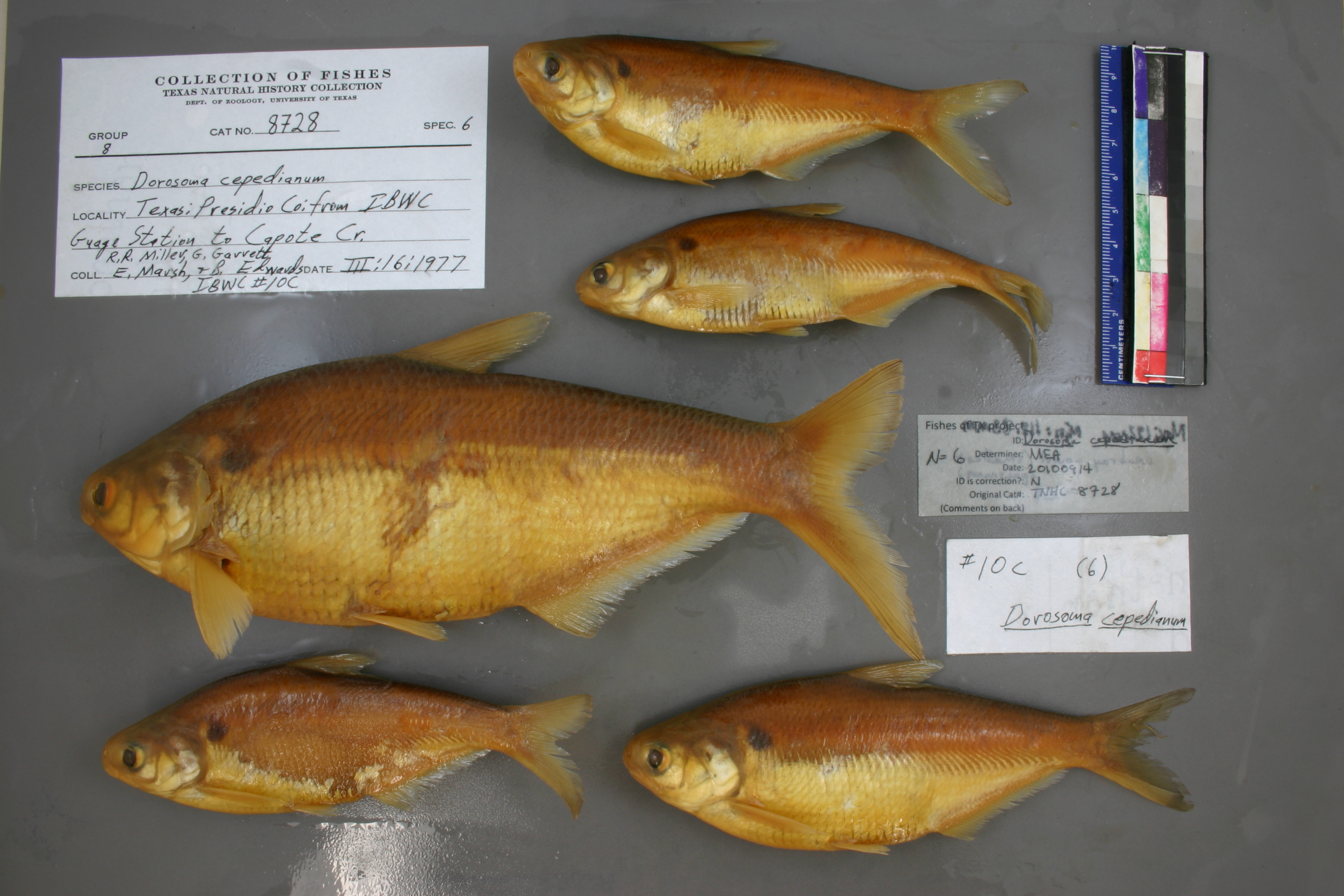
TNHCi_8728
Not suspect, examinedPhotos
Map
Location
29.79605° N, 104.58842° W
(± 41091.4
m)
Taxonomy
GenusDorosoma
Speciescepedianum
Specimen
Num Specimens0
Collection Event
CollectorMiller; et al.
Collected Date1977.3.15
Geography
DrainageRio Grande
CountryUnited States
StateTexas
CountyMaverick
LocalityFrom IBWC Guaging Station to Capote Creek
Record Source
Source
Texas Natural History Collections
(type: specimens)
Institution
Texas Natural History Collections
(type: museum)
Curator
Dean Hendrickson
Record Added
May 13, 2010
Record Last Modified
March 23, 2026
Data Processing Track
Track 2
From Data Set Received
04/2009 to 10/2010
Identification
Suspect Notes
None
Count
No data
Current Determination
Determiner
Mackenzie Elizabeth Anderson
Determination Date
Sept. 14, 2010
Determination Type
specimen examination
Identification Comments
Specimen examined and Id'ed for FoTX project. | ID notes: anal rays (smallest specimen): 29; MinSL(mm): 118.83; MaxSL(mm): 192; Jar: gallon; Specimen condition: good; Mutations: none; Count Male: ; Count female: ; Extern parasites:
Identification Confidence
High
Collecting Event
Collected
March 16, 1977
Collector(s)
Collecting Event ID
9744
Field Notes
There are no field notes available.
Locality
Region
Trans Pecos
Jurisdiction
Ojinaga, Chihuahua
Name
Rio Grande, between Capote Creek and International Boundary Water Commission gage station
Hydrography
Rio Grande Region
Rio Grande-Amistad
Rio Grande-Amistad
Cibolo-Red Light
Arroyo Cienega-Rio Grande
Los Corrientes Creek-Rio Grande
Captive
no
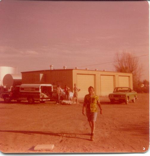
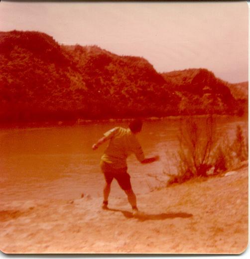
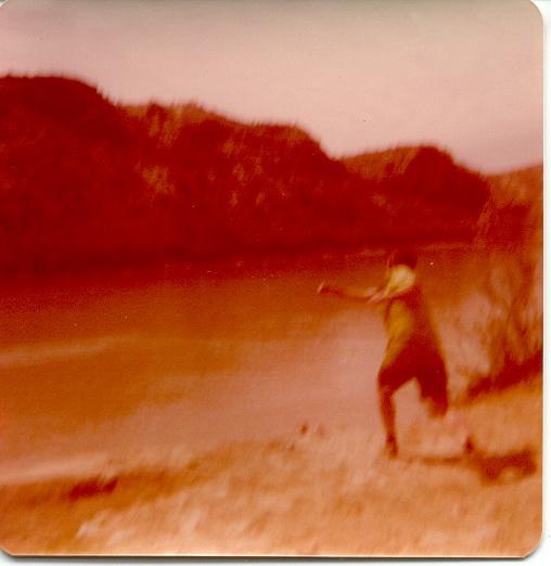
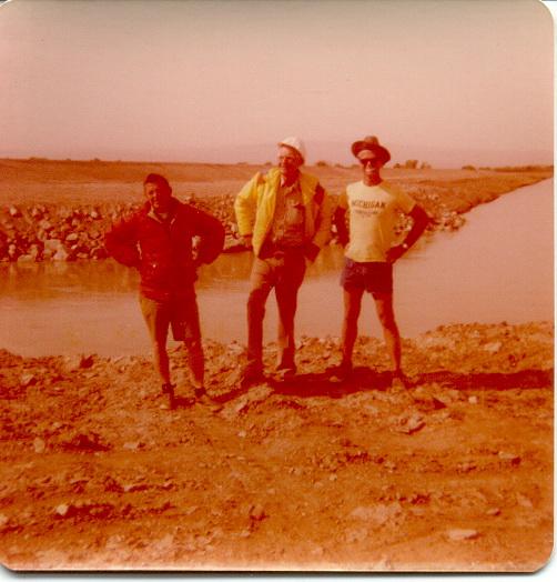
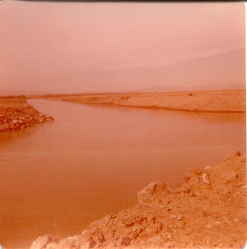
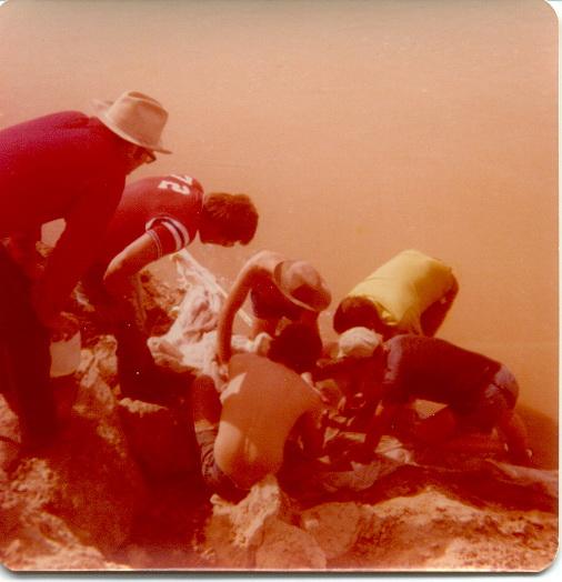
Locality Photos
flag (suspect/examine)
suspect: noexamination: yes
date
date_range: 3/16/1977-3/16/1977
collectors
collectors: Miller, Robert Rush Garrett
collectors
collectors: Robert Rush Miller, Garrett
date
date_range: 3/15/1977-3/15/1977
staff comment
ID Status: Not flagged for specimen examination. By default we accept donor specimen determinations (after synonymization to our taxonomy). If georeferenced to TX this record has been considered in spatial context with other occurences of this species and accepted as correct.
ID Comments: NA
georeference
Error: 41091.3803518237
Locality: Rio Grande River, between Capote Creek and International Boundary Water Commission gage station
Coordinates: 29.796047413;-104.588419952Georeferencer: AECGeographic note: Inland USA Texas
Comments On TNHCi_8728