TNHCi_9494
Not suspect, not examinedPhotos
No photos available.
Map
Location
31.11002° N, 102.80589° W
(± 34654.0
m)
Taxonomy
GenusFundulus
Specieskansae
Specimen
Num Specimens53
Collection Event
CollectorGarrett; Dean; et al.
Collected Date1978.8.12
Geography
DrainageRio Grande
CountryUnited States
StateTexas
CountyPecos
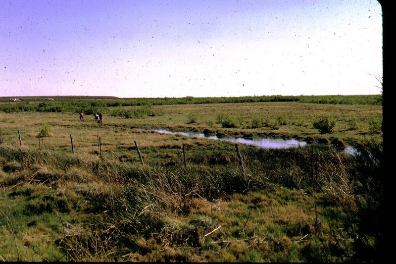
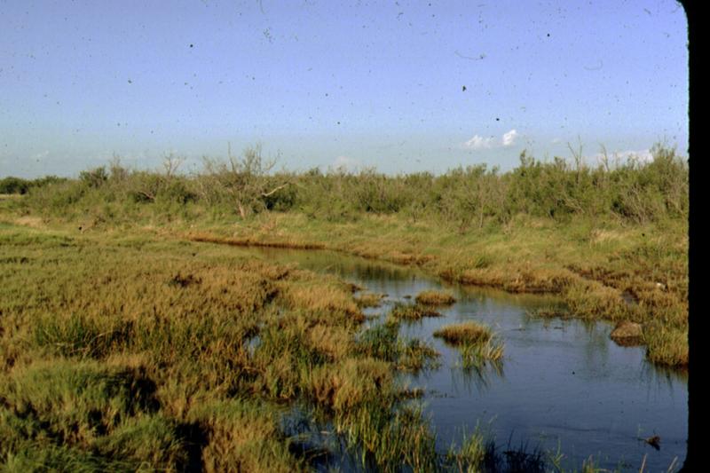
LocalityLeon Creek, Cow Pond & Station B5
Record Source
Source
Texas Natural History Collections
(type: specimens)
Institution
Texas Natural History Collections
(type: museum)
Curator
Dean Hendrickson
Record Added
May 13, 2010
Record Last Modified
March 23, 2026
Data Processing Track
Track 2
From Data Set Received
04/2009 to 10/2010
Identification
Suspect Notes
None
Count
53
Current Determination
Determiner
Fishes of Texas staff
Determination Date
Unknown
Determination Type
Unspecified
Identification Comments
None
Identification Confidence
Unknown
Collecting Event
Collected
Aug. 13, 1978
Collector(s)
Collecting Event ID
10264
Field Notes
Locality
Region
Trans Pecos
Jurisdiction
Pecos, Texas
Name
Leon Creek, enitire reach
Hydrography
Rio Grande Region
Lower Pecos
Lower Pecos
Landreth-Monument Draws
Leon Creek
Pecos Shearer Oil Field-Diamond Y Draw
Captive
no
Locality Photos
HUC 12
130700072006
Georeferencing Remarks
From various locality descriptions it is clear that Leon Creek is usually thought to begin near Lake Leon and include what the USGS maps call Diamond Y Draw. Here Leon Creek is defined as including what USGS calls Diamond Y Draw.
Georeferencing Annotation
—
Has not been Georeferenced because
—
flag (suspect/examine)
suspect: noexamination: no
collectors
collectors: Garrett Gary P., Edwards Robert J., Dean S. M.
date
date_range: 8/13/1978-8/13/1978
collectors
collectors: Garrett, Dean
staff comment
ID Status: Not flagged for specimen examination. By default we accept donor specimen determinations (after synonymization to our taxonomy). If georeferenced to TX this record has been considered in spatial context with other occurences of this species and accepted as correct.
ID Comments: NAGeoref Remark: From various locality descriptions it is clear that Leon Creek is usually thought to begin near Lake Leon and include what the USGS maps call Diamond Y Draw. Here Leon Creek is defined as including what USGS calls Diamond Y Draw.
collectors
collectors: Garrett, Dean
date
date_range: 8/12/1978-8/12/1978
georeference
Error: 34654.0043518513
Remarks: From various locality descriptions it is clear that Leon Creek is usually thought to begin near Lake Leon and include what the USGS maps call Diamond Y Draw. Here Leon Creek is defined as including what USGS calls Diamond Y Draw.
Locality: Leon Creek, enitire reachCoordinates: 31.110019825;-102.805890595Georeferencer: AECGeographic note: Inland USA TexasFrom various locality descriptions it is clear that Leon Creek is usually thought to begin near Lake Leon and include what the USGS maps call Diamond Y Draw. Here Leon Creek is defined as including what USGS calls Diamond Y Draw.
Comments On TNHCi_9494