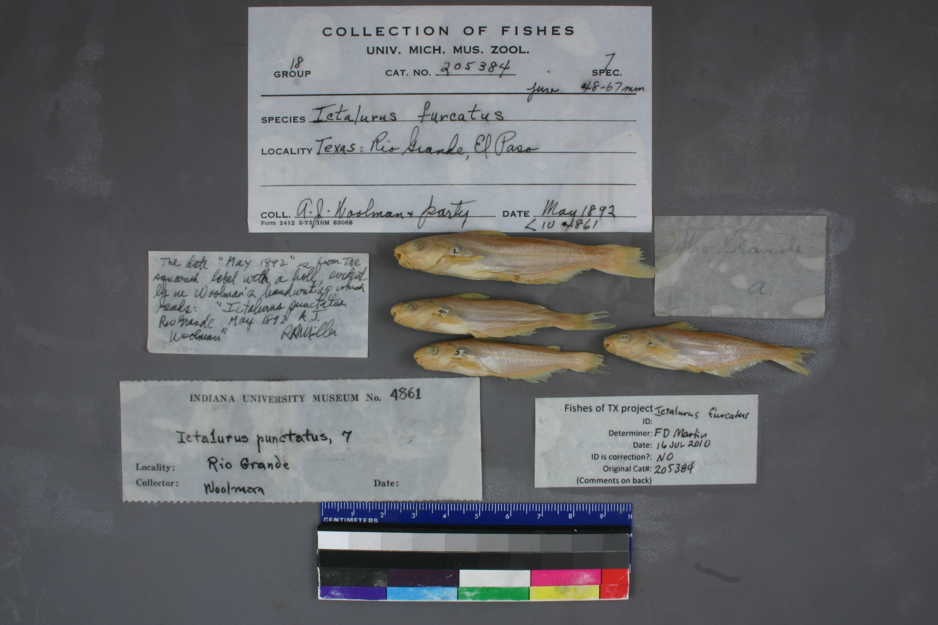
UMMZ_205384
Not suspect, examinedPhotos
Map
Location
31.75227° N, 106.49504° W
(± 4700
m)
Taxonomy
GenusIctalurus
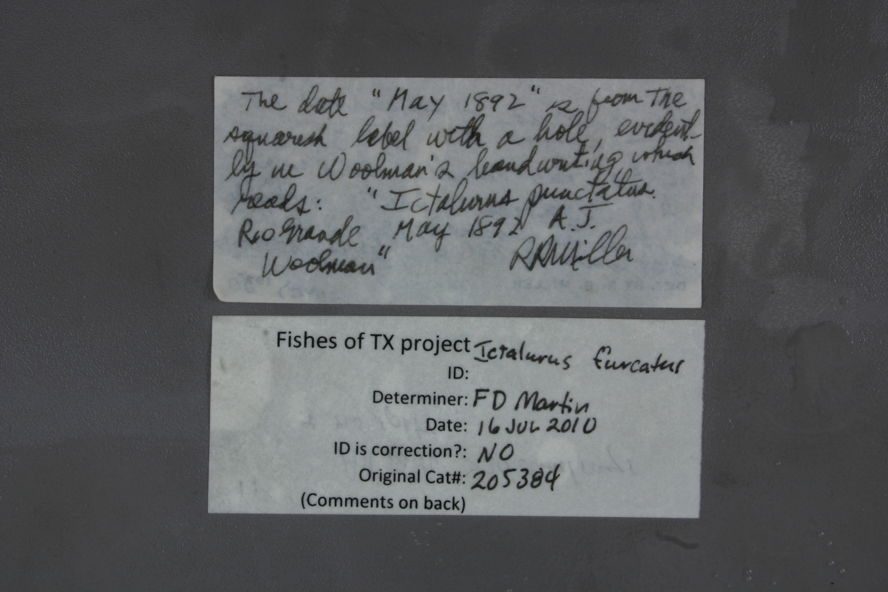
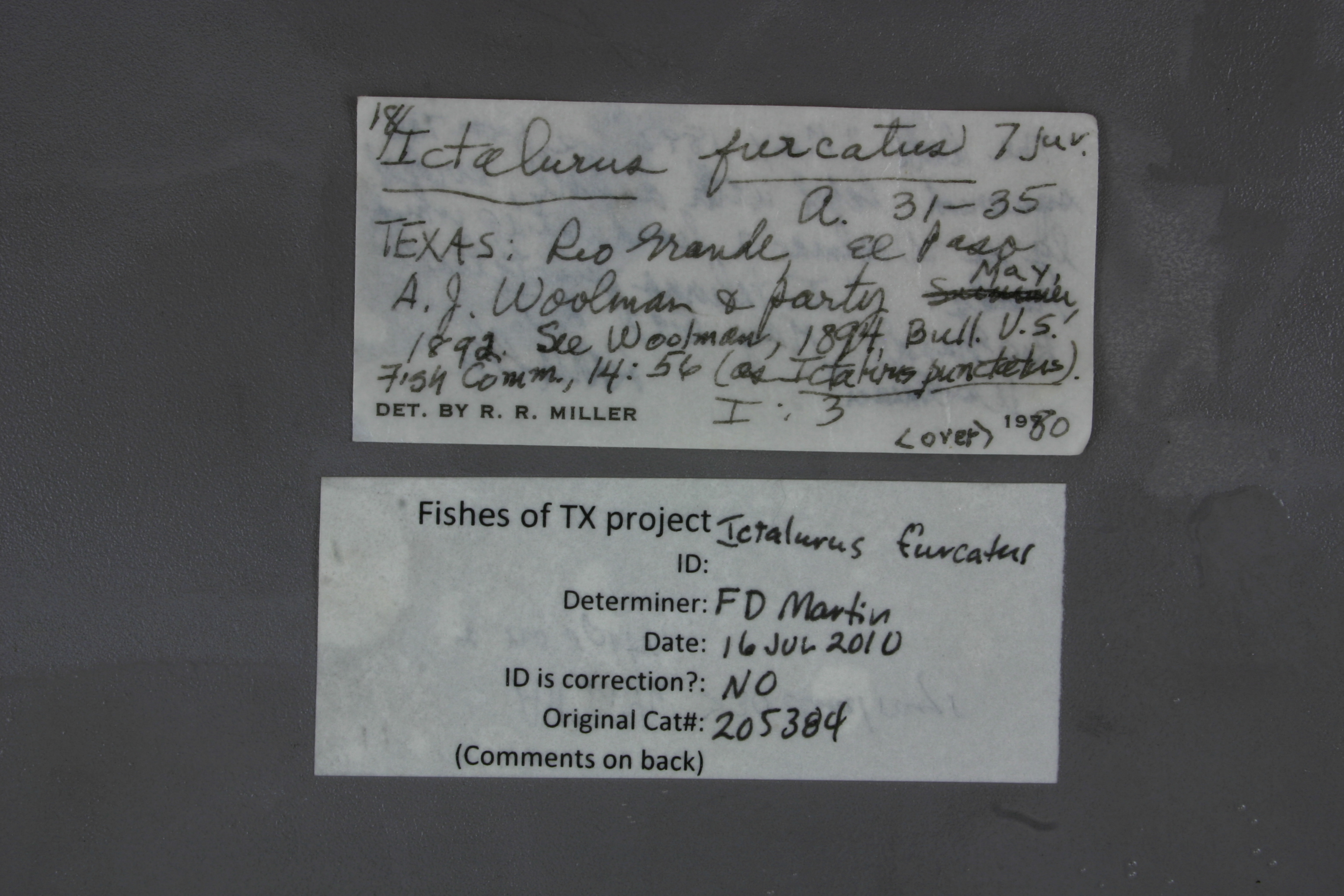
Speciesfurcatus
Specimen
Num Specimens0
Identification
DeterminerRR Miller, 1980
Collection Event
CollectorAJ Woolman & party
Collected Datenone
Geography
DrainageRio Grande
CountryUnited States
StateTexas
CountyEl Paso
LocalityRio Grande, El Paso
Record Source
Source
University of Michigan
(type: specimens)
Institution
University of Michigan
(type: university)
Curator
William L. Fink
Record Added
May 13, 2010
Record Last Modified
July 27, 2022
Data Processing Track
Track 2
From Data Set Received
04/2009 to 10/2010
Identification
Suspect Notes
None
Count
No data
Current Determination
Determiner
Unknown
Determination Date
July 11, 2022
Determination Type
taxonomic adjustment
Identification Comments
Determination found in FoTX database and determined to be the most recent determination. However, since the date of determination is not recorded in the database we hereby assign the date of our determination reconciliation effort, which makes it the most recent determination for this record.
Identification Confidence
Unknown
Previous Determination
Determiner
Floyd Douglas Martin
Determination Date
July 16, 2010
Determination Type
specimen examination
Identification Comments
ID complete | all with greater than 30 anal rays and no spots
Identification Confidence
High
Collecting Event
Collected
Jan. 1, 1891
– Dec. 31, 1891
Collector(s)
Collecting Event ID
7494
Field Notes
There are no field notes available.
Locality
Region
Trans Pecos
Jurisdiction
El Paso, Texas
Name
Rio Grande at El Paso
Hydrography
Rio Grande Region
Rio Grande-Amistad
Rio Grande-Fort Quitman
Rio Grande-Fort Quitman
Bowman Lateral-Rio Grande
Ascarate Lake-Rio Grande
Captive
no
Locality Photos
No locality photos available.
HUC 12
130401000107
Georeferencing Remarks
Woolman's report (https://www.biodiversitylibrary.org/item/215790#page/73/mode/1up) indicates that he collected on the Rio Grande at the water works in El Paso. Can't find location of historic water pump station, but point placed on river at current water treatment plant, which falls inthe the historical geography of El Paso, based on a 1908 map (http://legacy.lib.utexas.edu/maps/historical/el_paso08.jpg). Extent runs to edge of town as indicated on the map.
Georeferencing Annotation
—
Has not been Georeferenced because
—
Comments On UMMZ_205384