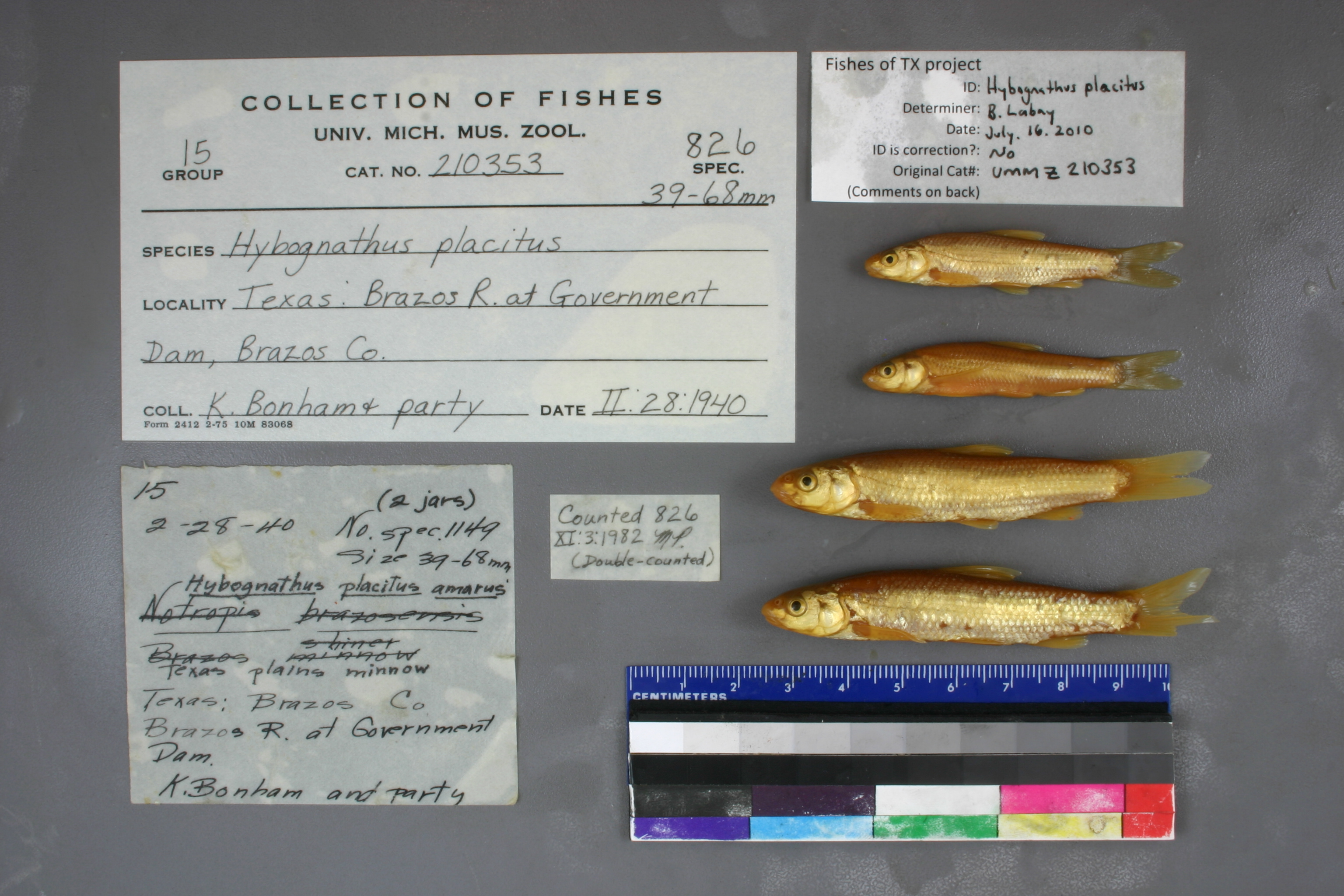
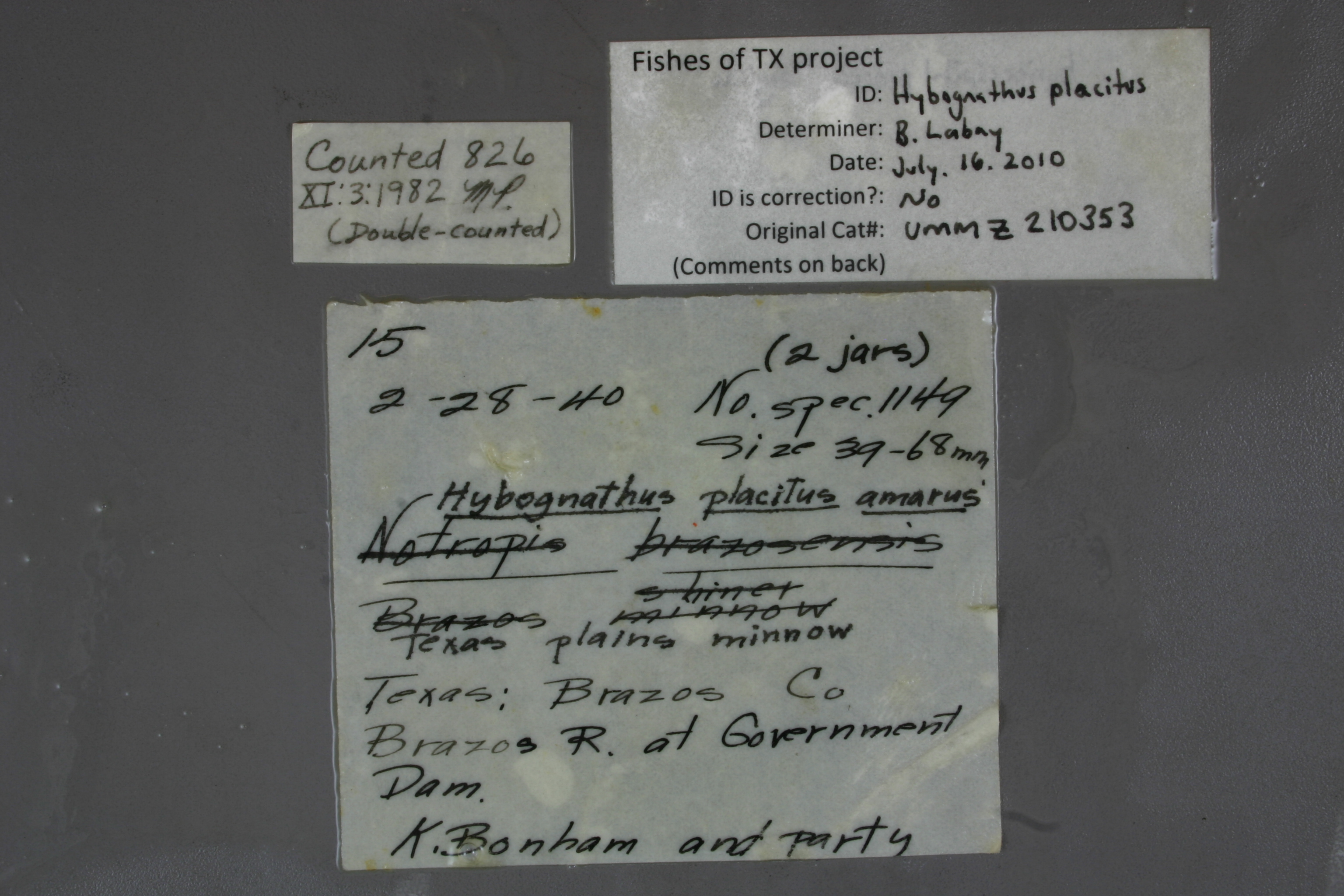
UMMZ_210353
Not suspect, examinedPhotos
Map
Location
30.36148° N, 96.15514° W
(± 90.8
m)
Taxonomy
GenusHybognathus
Speciesplacitus
Specimen
Num Specimens0
Identification
DeterminerRM Bailey & RR Miller
Collection Event
CollectorK Bonham & party
Collected Date1940.2.28
Geography
DrainageBrazos
CountryUnited States
StateTexas
CountyBrazos
LocalityBrazos River, at Government Dam
Record Source
Source
University of Michigan
(type: specimens)
Institution
University of Michigan
(type: university)
Curator
William L. Fink
Record Added
May 13, 2010
Record Last Modified
July 27, 2022
Data Processing Track
Track 2
From Data Set Received
04/2009 to 10/2010
Identification
Suspect Notes
None
Count
No data
Current Determination
Determiner
Ben Labay
Determination Date
July 16, 2010
Determination Type
specimen examination
Identification Comments
ID complete | basioccipital process is peg-like
Identification Confidence
High
Collecting Event
Collected
Feb. 28, 1940
Collector(s)
Collecting Event ID
2648
Field Notes
There are no field notes available.
Locality
Region
Blackland Prairies
Jurisdiction
Brazos, Texas
Name
Brazos River at SH 105
Hydrography
Texas-Gulf Region
Lower Brazos
Lower Brazos
Lower Brazos-Little Brazos
Beason Creek-Brazos River
Coles Creek-Brazos River
Captive
no
Locality Photos
No locality photos available.
HUC 12
120701010801
Georeferencing Remarks
Government Dam/Crossing looks to be the same as SH 105. Based on some locality descriptions it is known that Government Crossing is near Navasota. This is the only crossing near Navasota.
Georeferencing Annotation
Govt Crossing is the same as SH 105
Has not been Georeferenced because
—
flag (suspect/examine)
suspect: noexamination: yes
date
date_range: 2/28/1940-2/28/1940
collectors
collectors: Bonham, Kelshaw Class
collectors
collectors: Kelshaw Bonham, Class
date
date_range: 2/28/1940-2/28/1940
staff comment
ID Status: Specimen examined and ID'ed for FoTX projectID Comments: basioccipital process is peg-like
Georef Remark: Government Dam/Crossing looks to be the same as SH 105. Based on some locality descriptions it is known that Government Crossing is near Navasota. This is the only crossing near Navasota.
ID Confidence: highGeoref Annotation: Govt Crossing is the same as SH 105
georeference
Error: 90.7737072003631
Remarks: Government Dam/Crossing looks to be the same as SH 105. Based on some locality descriptions it is known that Government Crossing is near Navasota. This is the only crossing near Navasota. Govt Crossing is the same as SH 105
Locality: Brazos River at SH 105Coordinates: 30.361477728;-96.155139398Georeferencer: AECGeographic note: Inland USA TexasGovernment Dam/Crossing looks to be the same as SH 105. Based on some locality descriptions it is known that Government Crossing is near Navasota. This is the only crossing near Navasota. Govt Crossing is the same as SH 105
Comments On UMMZ_210353