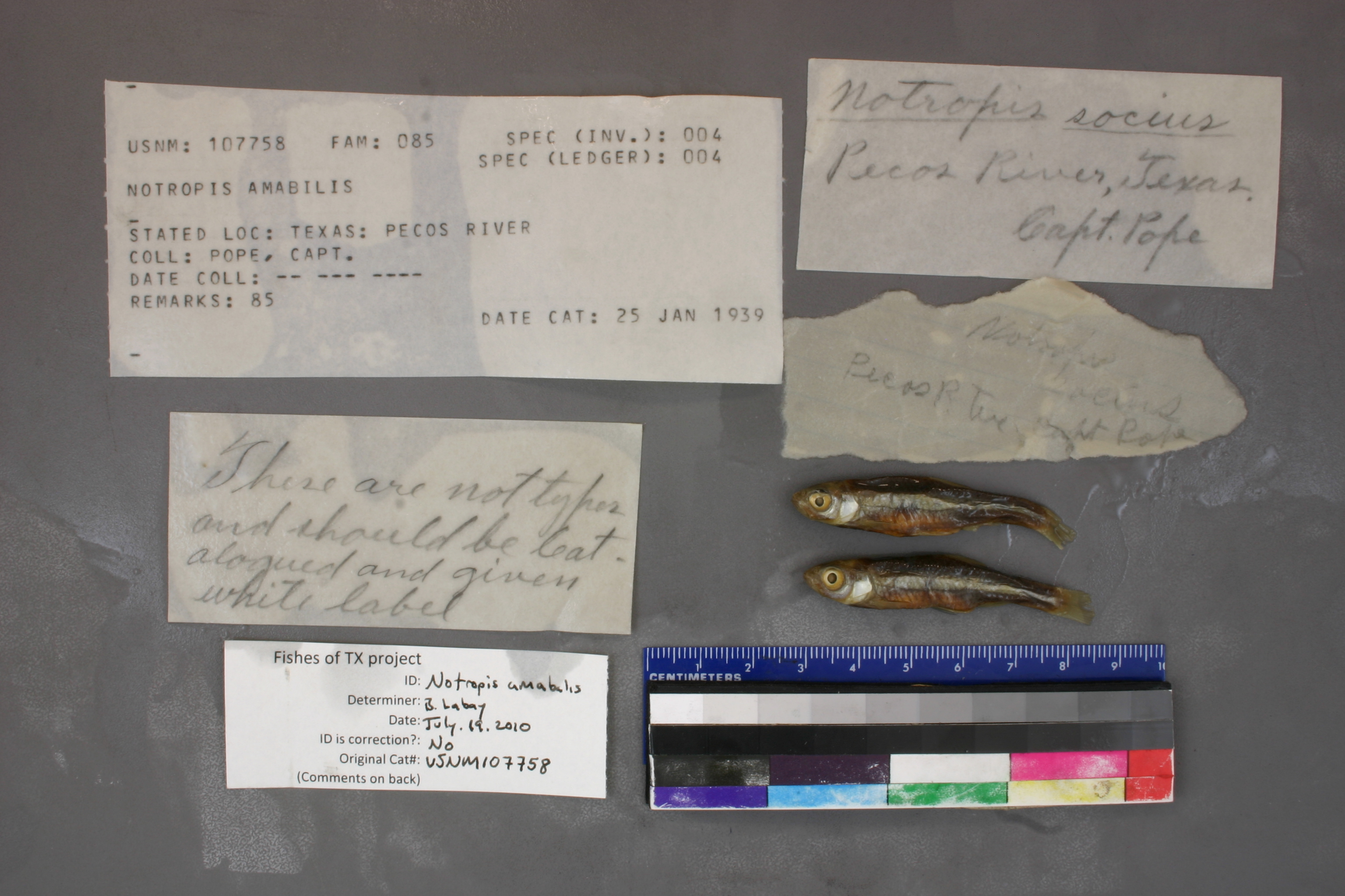
USNM_107758
Not suspect, examined
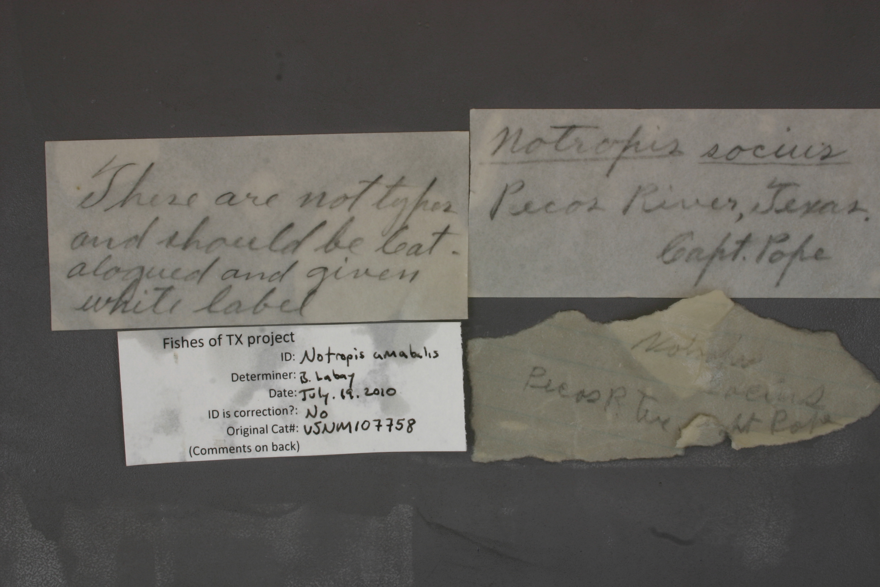
Texas Shiner –
Notropis amabilis
Photos
Map
Location
31.70998° N, 103.64840° W
(± 45000
m)
Taxonomy
GenusNotropis
Speciesamabilis
Collection Event
CollectorC. Pope
Collected Datenone
Geography
CountryUnited States
StateTexas
LocalityTexas: Pecos River
Record Source
Source
National Museum of Natural History
(type: specimens)
Institution
National Museum of Natural History
(type: museum)
Curator
Lynne Parenti
Record Added
May 13, 2010
Record Last Modified
June 22, 2022
Data Processing Track
Track 2
From Data Set Received
04/2009 to 10/2010
Identification
Suspect Notes
None
Count
No data
Current Determination
Determiner
Adam Cohen
Determination Date
July 19, 2010
Determination Type
specimen examination
Identification Comments
ID complete
Identification Confidence
High
Collecting Event
Collected
Jan. 1, 1856
– Dec. 31, 1856
Collecting Event ID
119
Collecting Event Notes For collection information see: Girard 1858 Part Four: Fishes. Explorations and surveys for a railroad route from the Mississippi River to the Pacific Ocean. Made under the direction of the Secretary of War in 1853-6, Volume X
Field Notes
There are no field notes available.
Locality
Region
Trans Pecos
Jurisdiction
Crane, Texas
Name
Pecos River from Delaware Creek to Toyah Creek
Hydrography
USGS HUC
Rio Grande Region
Lower Pecos
Lower Pecos
Pecos
Southwest Mesa-Pecos River
Girvin Butte-Pecos River
HydroBASINS
7521
752165
75216517
7521651750
752165175030
Captive
no
Locality Photos
No locality photos available.
HUC 12
130700080202
Georeferencing Remarks
Presumed to be a collection associated with the railroad route survey from the Mississippi river to the Pacific (https://www.biodiversitylibrary.org/item/42767#page/2/mode/1up). Map of route (https://www.loc.gov/item/gm71000831/). The location where Pope's route parallels the Pecos is shown. Georeferenced area covers this reach.
Georeferencing Annotation
—
Has not been Georeferenced because
—
flag (suspect/examine)
suspect: noexamination: yes
date
note: Presumed to be a collection associated with the railroad route survey from the Mississippi river to the Pacific (https://www.biodiversitylibrary.org/item/42767#page/2/mode/1up). Map of route (https://www.loc.gov/item/gm71000831/).
date_range: 1/1/1853-12/31/1854
georeference
Error: 45000
Remarks: Presumed to be a collection associated with the railroad route survey from the Mississippi river to the Pacific (https://www.biodiversitylibrary.org/item/42767#page/2/mode/1up). Map of route (https://www.loc.gov/item/gm71000831/). The location where Pope's route parallels the Pecos is shown. Georeferenced area covers this reach.
Locality: Pecos River from Delaware Creek to Toyah CreekCoordinates: -103.6484, 31.709984Georeferencer: Adam CohenPresumed to be a collection associated with the railroad route survey from the Mississippi river to the Pacific (https://www.biodiversitylibrary.org/item/42767#page/2/mode/1up). Map of route (https://www.loc.gov/item/gm71000831/). The location where Pope's route parallels the Pecos is shown. Georeferenced area covers this reach.
date
date_range: 1/1/1853-12/31/1858
collectors
collectors: Pope, John Captain
staff comment
ID Status: Specimen examined and ID'ed for FoTX projectID Confidence: high
collectors
collectors: John Pope
date
date_range: 1/1/1853-12/31/1858
georeference
Error: 181908.98035122Locality: Pecos River, entire lengthCoordinates: 31.086541731;-102.381729805Georeferencer: AECGeographic note: Inland USA Texas
Comments On USNM_107758