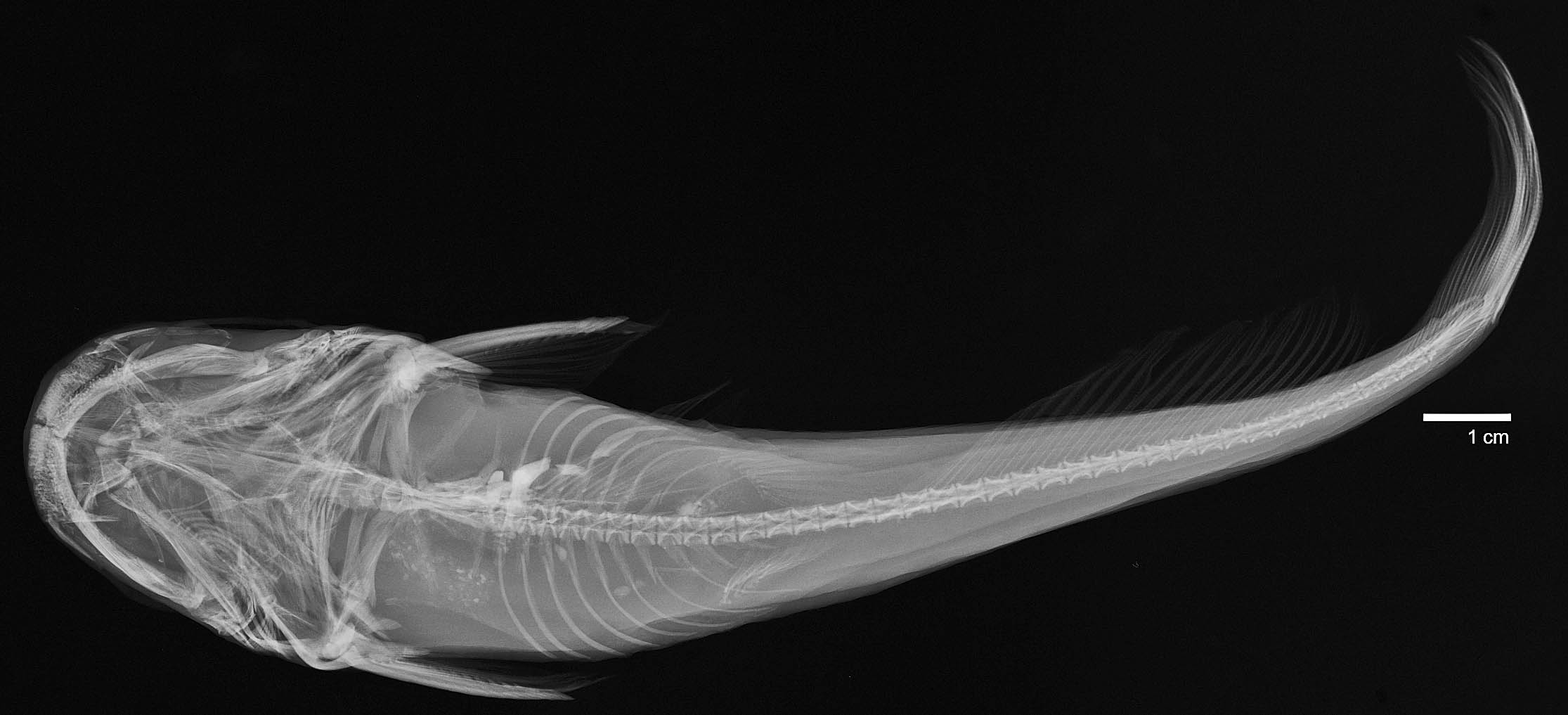
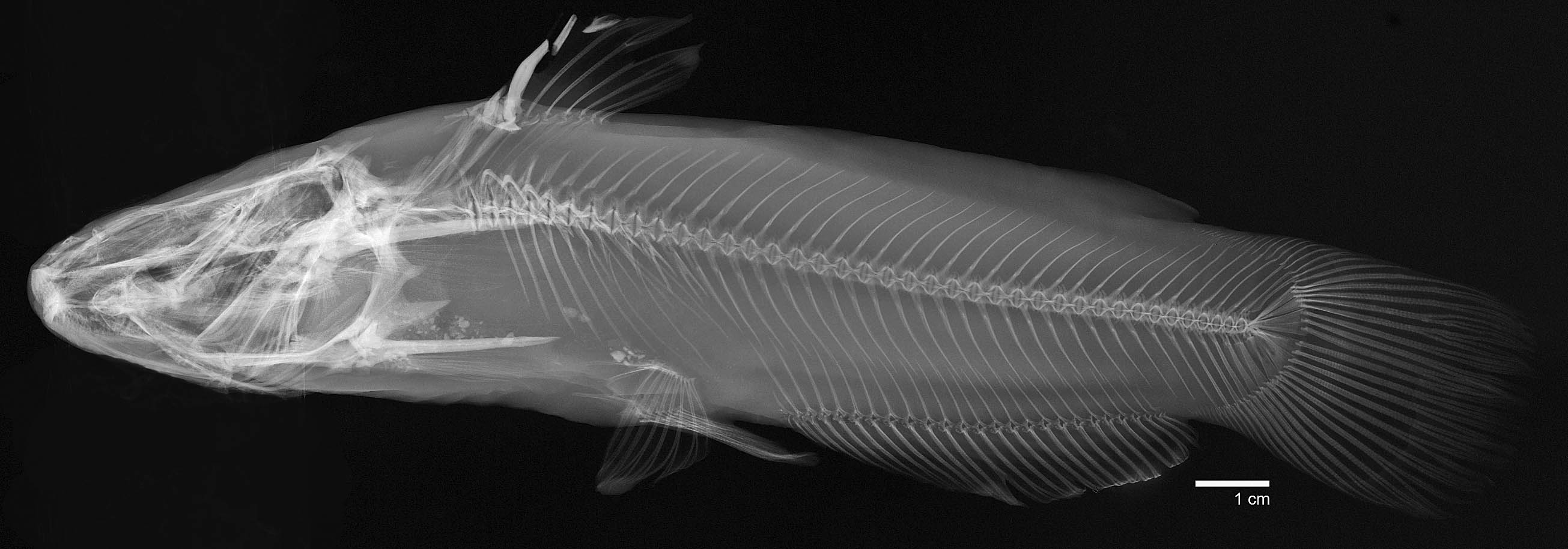
USNM_923
Not suspect, not examinedPhotos
Map
Location
29.40028° N, 98.50655° W
(± 1300
m)
Taxonomy
GenusPimelodus
Speciesantoniensis
Collection Event
CollectorL. Whipple
Collected Datenone
Geography
CountryUnited States
StateTexas
LocalityNear San Antonio, Tex.
Record Source
Source
National Museum of Natural History
(type: specimens)
Institution
National Museum of Natural History
(type: museum)
Curator
Lynne Parenti
Record Added
May 13, 2010
Record Last Modified
June 22, 2022
Data Processing Track
Track 2
From Data Set Received
04/2009 to 10/2010
Identification
Suspect Notes
None
Count
No data
Current Determination
Determiner
Fishes of Texas staff
Determination Date
Unknown
Determination Type
Unspecified
Identification Comments
None
Identification Confidence
Unknown
Collecting Event
Collected
Jan. 1, 1853
– Dec. 31, 1853
Collector(s)
Collecting Event ID
7907
Collecting Event Notes For collection information see: Girard 1858 Part Four: Fishes. Explorations and surveys for a railroad route from the Mississippi River to the Pacific Ocean. Made under the direction of the Secretary of War in 1853-6, Volume X
Field Notes
There are no field notes available.
Locality
Region
Blackland Prairies
Jurisdiction
Bexar, Texas
Name
San Pedro Creek
Hydrography
Texas-Gulf Region
Central Texas Coastal
San Antonio
Upper San Antonio
Headwaters San Antonio River
Olmos Creek-San Antonio River
Captive
no
Locality Photos
No locality photos available.
date
note: For collection information see: Girard 1858 Part Four: Fishes. Explorations and surveys for a railroad route from the Mississippi River to the Pacific Ocean. Made under the direction of the Secretary of War in 1853-6, Volume X
date_range: 1/1/1853-12/31/1853
flag (suspect/examine)
suspect: noexamination: no
collectors
note: Collection details found here: Girard 1858 Part Four: Fishes. Explorations and surveys for a railroad route from the Mississippi River to the Pacific Ocean. Made under the direction of the Secretary of War in 1853-6, Volume X
collectors: Kennerly Caleb Burwell Rowan
flag (suspect/examine) note
This lot in need of examination, but not yet examined. Work in progress.
date
date_range: 1/1/1853-12/31/1859
collectors
collectors: Whipple, A.H. Lieutenant
collectors
collectors: A.H. Whipple
date
date_range: 1/1/1853-12/31/1859
staff comment
ID Status: Not flagged for specimen examination. By default we accept donor specimen determinations (after synonymization to our taxonomy). If georeferenced to TX this record has been considered in spatial context with other occurences of this species and accepted as correct.
ID Comments: NAGeoref Remark: Extent runs halfway to New Braunfels.
georeference
Error: 22543.6907519033Remarks: Extent runs halfway to New Braunfels.Locality: Near San AntonioCoordinates: 29.465053486;-98.476456372Georeferencer: AECGeographic note: Inland USA Texas
Extent runs halfway to New Braunfels.
Comments On USNM_923